Dyffryn
Settlement in Montgomeryshire
Wales
Dyffryn
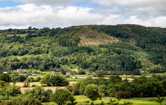
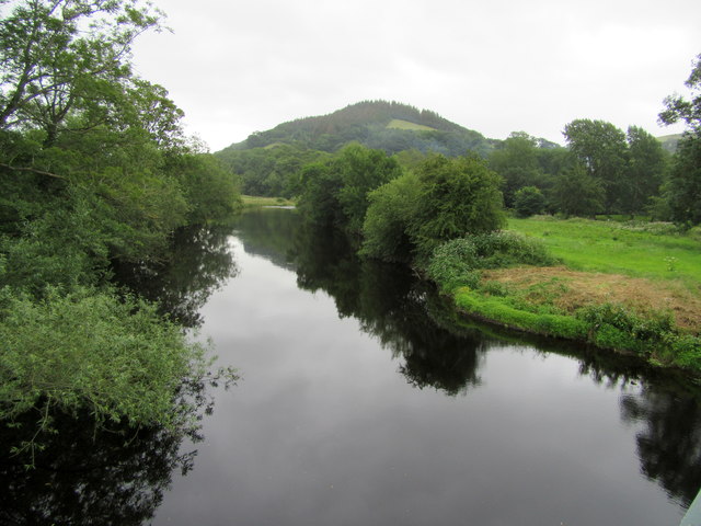
Dyffryn is a small village located in the county of Montgomeryshire, Wales. Situated in the picturesque countryside, it is nestled between the rolling hills and valleys of the region. With a population of around 500 residents, Dyffryn is known for its charming and peaceful atmosphere.
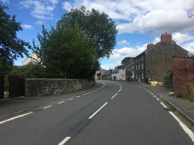
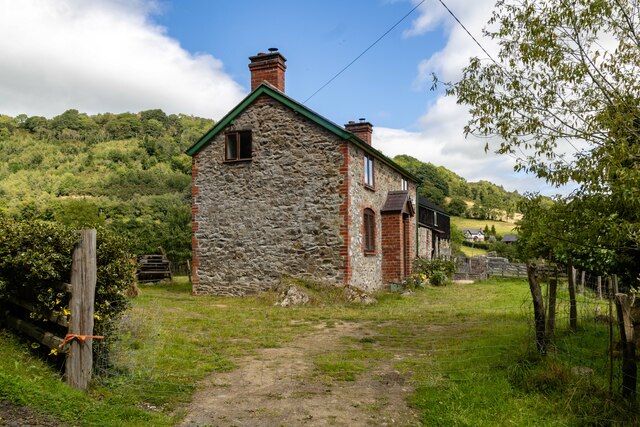
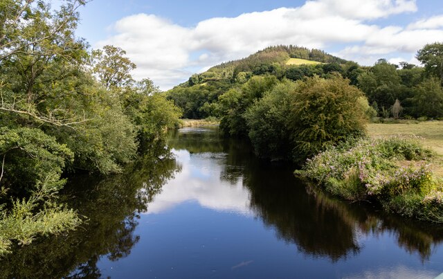
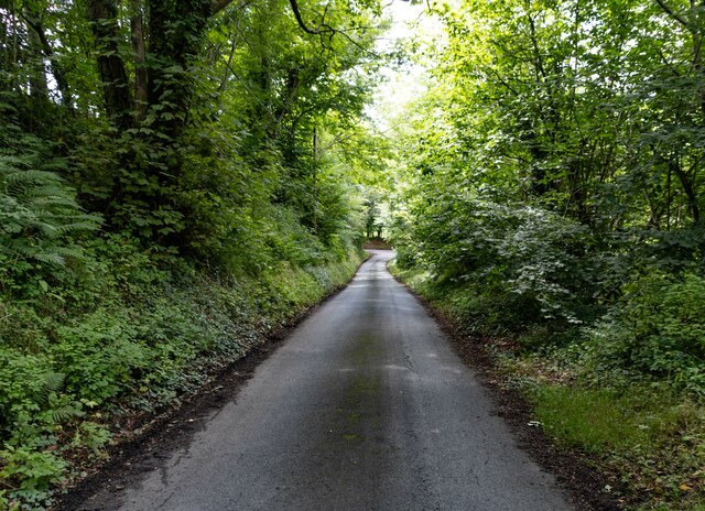
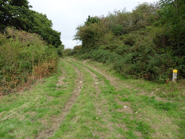
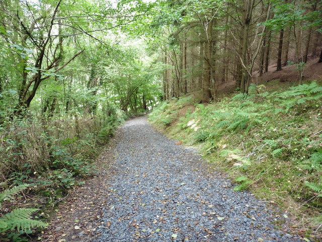
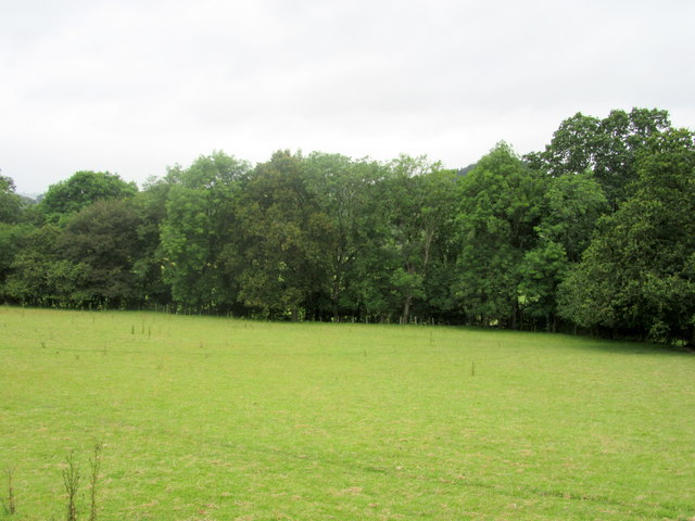
The village is characterized by its traditional Welsh architecture, with many old stone houses and cottages dotting the landscape. Its rural setting makes Dyffryn an ideal destination for those seeking tranquility and a slower pace of life. The surrounding natural beauty offers breathtaking views and numerous opportunities for outdoor activities such as hiking, cycling, and birdwatching.
Despite its small size, Dyffryn boasts a close-knit community with a strong sense of pride in its history and heritage. The village is home to a local pub, where residents and visitors can gather for a friendly drink and a taste of traditional Welsh cuisine. Additionally, Dyffryn has a small primary school that serves the educational needs of the local children.
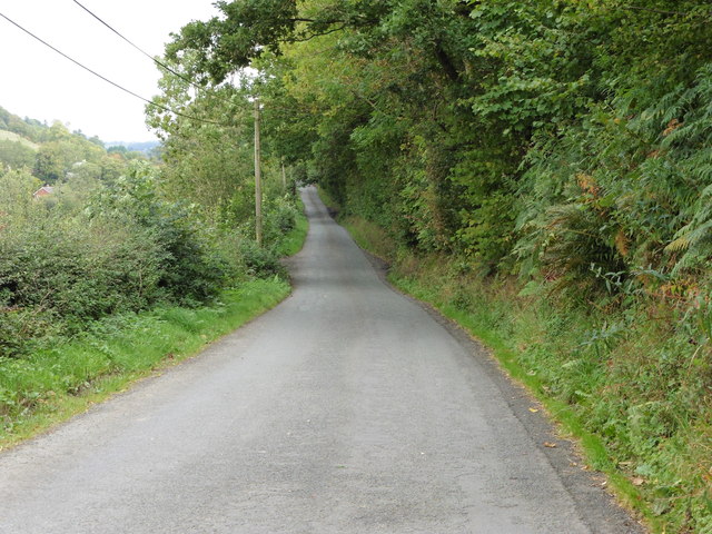
The village is well-connected to the rest of Montgomeryshire and nearby towns via a network of roads and public transportation. It is located approximately 10 miles away from the town of Newtown, which offers a wider range of amenities such as shops, supermarkets, and healthcare facilities.
Dyffryn, Montgomeryshire, with its idyllic setting and close community, provides a peaceful retreat for those seeking a rural lifestyle in the heart of the Welsh countryside.
If you have any feedback on the listing, please let us know in the comments section below.
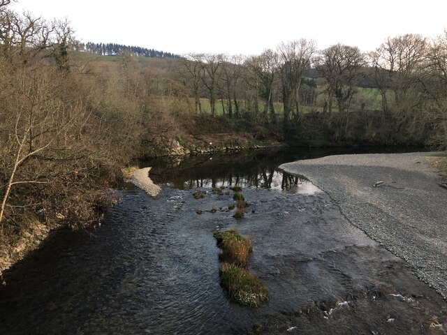
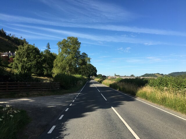
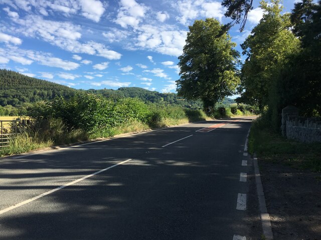
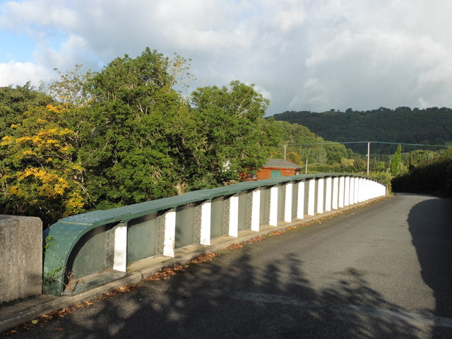
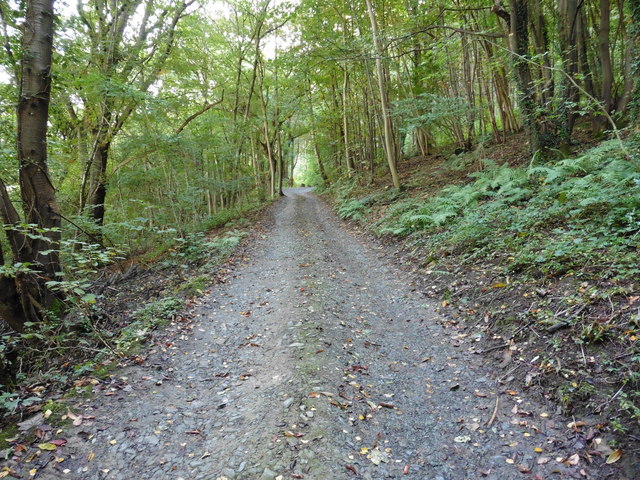
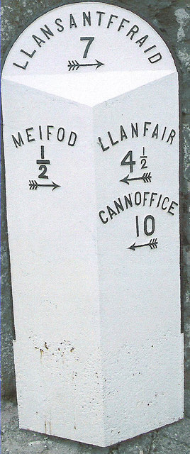
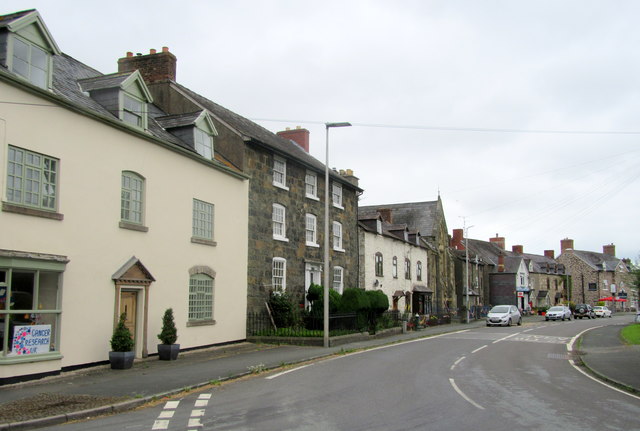
Dyffryn Images
Images are sourced within 2km of 52.706466/-3.263219 or Grid Reference SJ1412. Thanks to Geograph Open Source API. All images are credited.
Dyffryn is located at Grid Ref: SJ1412 (Lat: 52.706466, Lng: -3.263219)
Unitary Authority: Powys
Police Authority: Dyfed Powys
What 3 Words
///highbrow.registers.tactical. Near Llanfyllin, Powys
Nearby Locations
Related Wikis
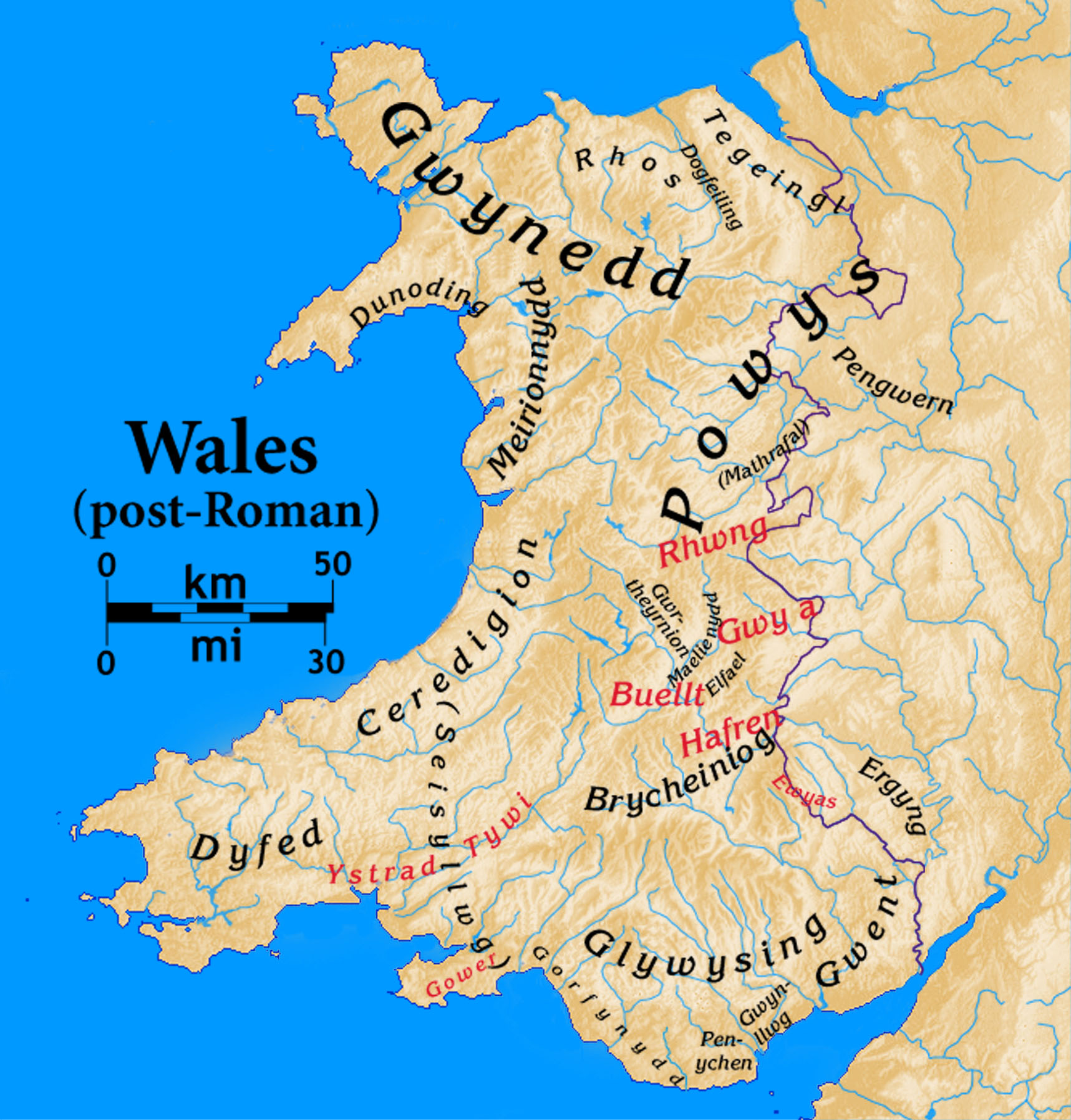
Dogfeiling
Dogfeiling was a minor sub-kingdom and later a commote in north Wales. It formed part of the eastern border of the Kingdom of Gwynedd in early medieval...

Meifod
Meifod, formerly also written Meivod (), is a small village, community and electoral ward 7 miles north-west of Welshpool in Montgomeryshire, Powys, Wales...

River Banwy
The River Banwy is a river about 19 miles (31 km) long in Powys, Wales. It is a tributary of the River Vyrnwy. The Banwy rises in the hills near the pass...

Caereinion
Caereinion (fort of Einion) was a medieval cantref in the Kingdom of Powys, or possibly it was a commote (cwmwd) within a cantref called Llŷs Wynaf. It...

Mathrafal
Mathrafal near Welshpool, in Powys, Mid Wales, was the seat of the Kings and Princes of Powys probably from the 9th century until its destruction in 1213...

Allt-y-Main
Allt-y-Main is a hamlet in the community of Meifod, Powys, Wales, which is 86 miles (139 km) from Cardiff and 156 miles (252 km) from London. == References... ==

Dolobran, Montgomeryshire
Dolobran, in the county of Montgomeryshire (now Powys) in Wales, is a historic estate which was the earliest known seat of the expansive Lloyd family,...
Pontrobert
Pontrobert is an ecclesiastical parish that was formed in September 1854. It comprises the townships of Teirtref and part of Nantymeichiaid in the parish...
Nearby Amenities
Located within 500m of 52.706466,-3.263219Have you been to Dyffryn?
Leave your review of Dyffryn below (or comments, questions and feedback).