Dyffryn

Settlement in Pembrokeshire

Wales

Dyffryn

Fishguard - Tenby House Old building on West Street, now housing a newsagent.
Fishguard - Tenby House Credit: Colin Smith

The requested URL returned error: 429 Too Many Requests

If you have any feedback on the listing, please let us know in the comments section below.
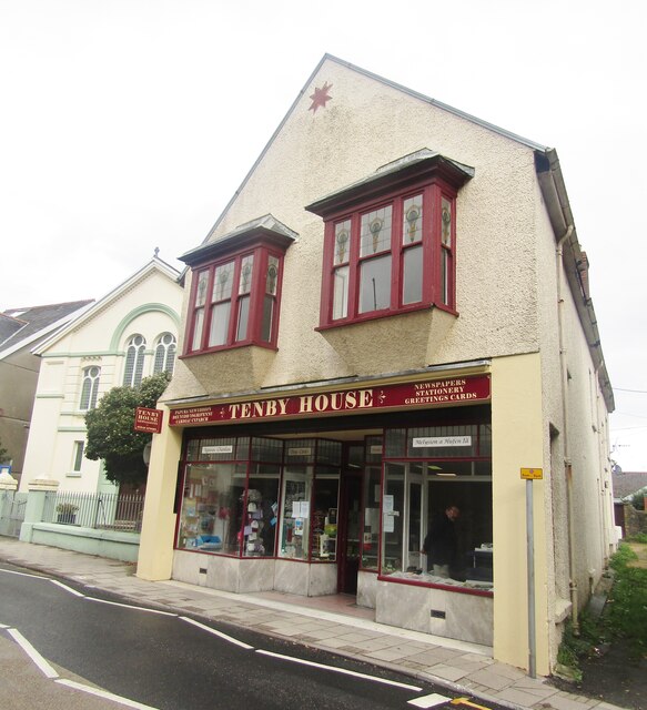
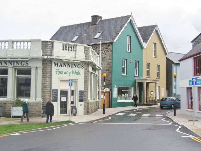
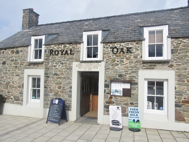
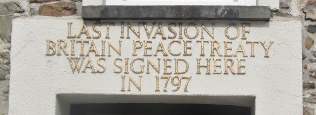
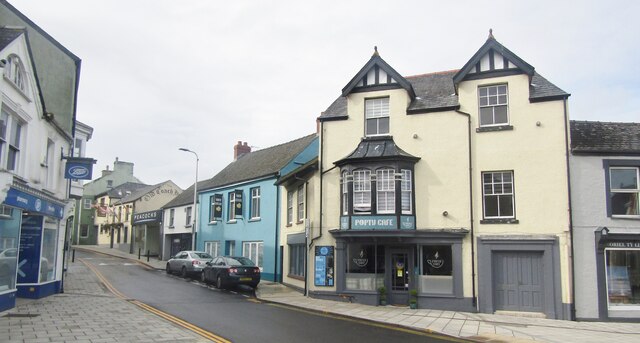
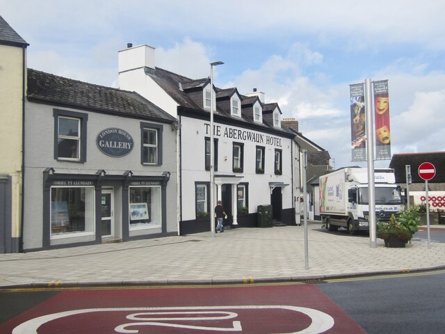
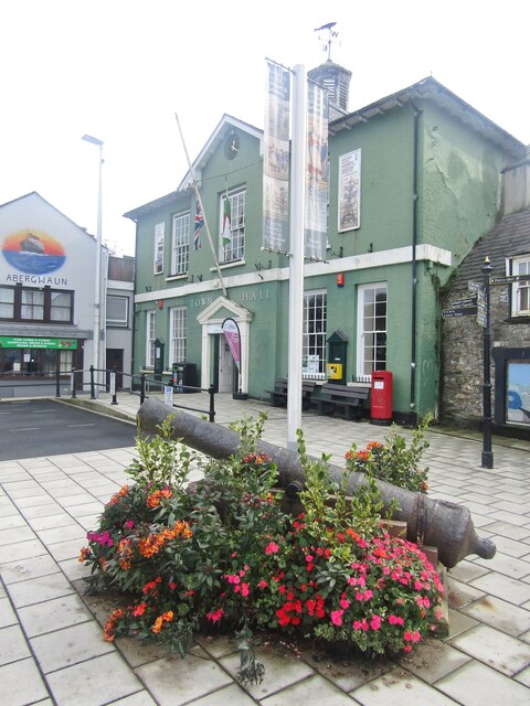
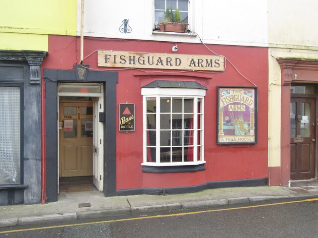
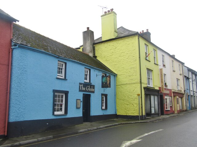
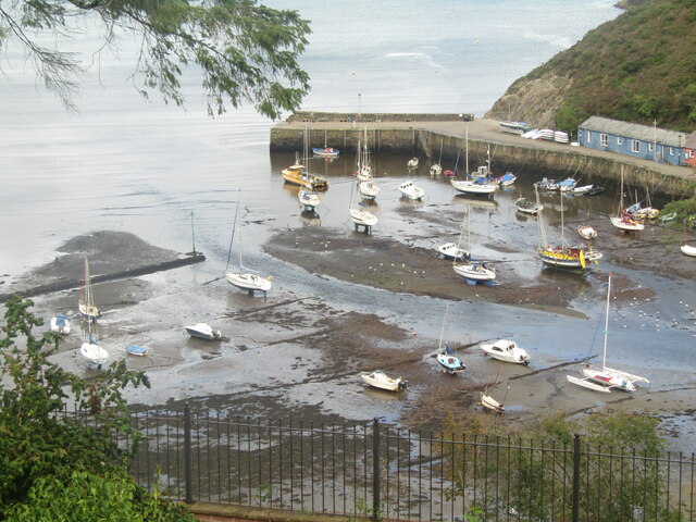
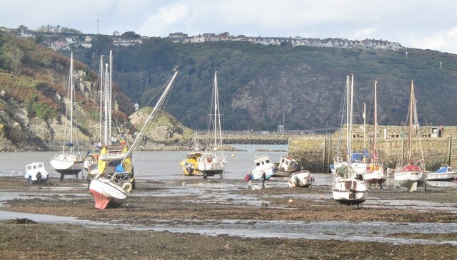
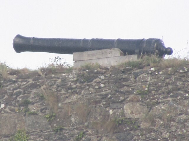
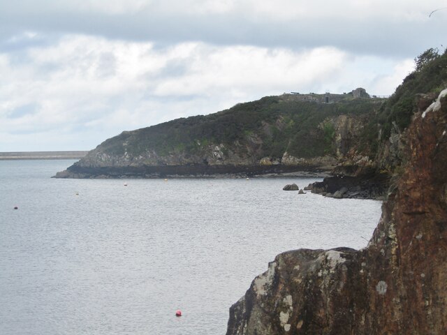
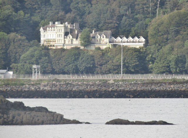
Dyffryn Images

Images are sourced within 2km of 51.997408/-4.999056 or Grid Reference SM9437. Thanks to Geograph Open Source API. All images are credited.

Fishguard - Tenby House Old building on West Street, now housing a newsagent.
Fishguard - Tenby House
Old building on West Street, now housing a newsagent.
Fishguard - West Street Painted gables dominate this scene in central Fishguard.
Fishguard - West Street
Painted gables dominate this scene in central Fishguard.
Fishguard - Royal Oak "The pub is famous for its place in history as in 1797, the French unsuccessfully attempted an invasion on the west coast of Wales only to be thwarted by the locals. This was the last invasion attempt on Britain. A peace treaty was signed between the British and French in the bar area".
<span class="nowrap"><a title="www.royaloakfishguard.co.uk" rel="nofollow ugc noopener" href="http://www.royaloakfishguard.co.uk">Link</a><img style="margin-left:2px;" alt="External link" title="External link - shift click to open in new window" src="https://s1.geograph.org.uk/img/external.png" width="10" height="10"/></span>
Fishguard - Royal Oak
"The pub is famous for its place in history as in 1797, the French unsuccessfully attempted an invasion on the west coast of Wales only to be thwarted by the locals. This was the last invasion attempt on Britain. A peace treaty was signed between the British and French in the bar area". LinkExternal link
Fishguard - High Street Town centre shopping street leading away from Fishguard Square.
<span class="nowrap"><a title="www.gofishguard.co.uk" rel="nofollow ugc noopener" href="http://www.gofishguard.co.uk">Link</a><img style="margin-left:2px;" alt="External link" title="External link - shift click to open in new window" src="https://s1.geograph.org.uk/img/external.png" width="10" height="10"/></span>
Fishguard - High Street
Town centre shopping street leading away from Fishguard Square. LinkExternal link
Fishguard - The Abergwaun Hotel Gallery and hotel on a prime position overlooking Fishguard Square.
<span class="nowrap"><a title="www.gofishguard.co.uk" rel="nofollow ugc noopener" href="http://www.gofishguard.co.uk">Link</a><img style="margin-left:2px;" alt="External link" title="External link - shift click to open in new window" src="https://s1.geograph.org.uk/img/external.png" width="10" height="10"/></span>
Fishguard - The Abergwaun Hotel
Gallery and hotel on a prime position overlooking Fishguard Square. LinkExternal link
Fishguard - Town Hall Historic administrative building on Fishguard Square, containing the local tourist office. Note the old cannon in the foreground.
<span class="nowrap"><a title="www.gofishguard.co.uk" rel="nofollow ugc noopener" href="http://www.gofishguard.co.uk">Link</a><img style="margin-left:2px;" alt="External link" title="External link - shift click to open in new window" src="https://s1.geograph.org.uk/img/external.png" width="10" height="10"/></span>
Fishguard - Town Hall
Historic administrative building on Fishguard Square, containing the local tourist office. Note the old cannon in the foreground. LinkExternal link
Fishguard - The Farmer's Arms An old pub sign on Fishguard Square. James Williams operated the Pembroke Steam Brewery.
Fishguard - The Farmer's Arms
An old pub sign on Fishguard Square. James Williams operated the Pembroke Steam Brewery.
Fishguard Arms Town centre bar on Main Street, Fishguard.
Fishguard Arms
Town centre bar on Main Street, Fishguard.
Fishguard - Main Street Town centre street with colourfully painted old buildings and pubs e.g. The Globe.
<span class="nowrap"><a title="www.gofishguard.co.uk" rel="nofollow ugc noopener" href="http://www.gofishguard.co.uk">Link</a><img style="margin-left:2px;" alt="External link" title="External link - shift click to open in new window" src="https://s1.geograph.org.uk/img/external.png" width="10" height="10"/></span>
Fishguard - Main Street
Town centre street with colourfully painted old buildings and pubs e.g. The Globe. LinkExternal link
Fishguard - The Globe Pub sign on Fishguard's Main Street.
<span class="nowrap"><a title="www.gofishguard.co.uk" rel="nofollow ugc noopener" href="http://www.gofishguard.co.uk">Link</a><img style="margin-left:2px;" alt="External link" title="External link - shift click to open in new window" src="https://s1.geograph.org.uk/img/external.png" width="10" height="10"/></span>
Fishguard - The Globe
Pub sign on Fishguard's Main Street. LinkExternal link
Fishguard - Harbour Mouth Yachts and small boats sit high and dry at low tide where the River Gwaun flows into the sea.
<span class="nowrap"><a title="www.gofishguard.co.uk" rel="nofollow ugc noopener" href="http://www.gofishguard.co.uk">Link</a><img style="margin-left:2px;" alt="External link" title="External link - shift click to open in new window" src="https://s1.geograph.org.uk/img/external.png" width="10" height="10"/></span>
Fishguard - Harbour Mouth
Yachts and small boats sit high and dry at low tide where the River Gwaun flows into the sea. LinkExternal link
Fishguard - Aber Gwaun Low tide in the harbour at Lower Town where the Gwaun flows into the sea.
<span class="nowrap"><a title="www.gofishguard.co.uk" rel="nofollow ugc noopener" href="http://www.gofishguard.co.uk">Link</a><img style="margin-left:2px;" alt="External link" title="External link - shift click to open in new window" src="https://s1.geograph.org.uk/img/external.png" width="10" height="10"/></span>
Fishguard - Aber Gwaun
Low tide in the harbour at Lower Town where the Gwaun flows into the sea. LinkExternal link
Fishguard Fort - Cannon Fishguard Fort on Castle Point overlooks Fishguard Harbour. It was built 1781-85 and chased away the 1797 French invasion force with one cannon shot.
<span class="nowrap"><a title="www.gofishguard.co.uk" rel="nofollow ugc noopener" href="http://www.gofishguard.co.uk">Link</a><img style="margin-left:2px;" alt="External link" title="External link - shift click to open in new window" src="https://s1.geograph.org.uk/img/external.png" width="10" height="10"/></span>
Fishguard Fort - Cannon
Fishguard Fort on Castle Point overlooks Fishguard Harbour. It was built 1781-85 and chased away the 1797 French invasion force with one cannon shot. LinkExternal link
Fishguard - Castle Point This rocky promontory is topped with Fishguard Fort overlooking Fishguard Harbour from the SE. It was built between 1781-85 and was used in the 1797 operation against a French invasion force. The fort is also one of the few pre-WW2 coastal defences which fired shots in anger. 
<span class="nowrap"><a title="www.gofishguard.co.uk" rel="nofollow ugc noopener" href="http://www.gofishguard.co.uk">Link</a><img style="margin-left:2px;" alt="External link" title="External link - shift click to open in new window" src="https://s1.geograph.org.uk/img/external.png" width="10" height="10"/></span>
Fishguard - Castle Point
This rocky promontory is topped with Fishguard Fort overlooking Fishguard Harbour from the SE. It was built between 1781-85 and was used in the 1797 operation against a French invasion force. The fort is also one of the few pre-WW2 coastal defences which fired shots in anger. LinkExternal link
Fishguard Harbour - Ferry Terminal Car ferry terminal at Goodwick seen from Lower Town Harbour pier in Fishguard.
The ferry goes to Rosslare in Ireland.
<span class="nowrap"><a title="www.gofishguard.co.uk" rel="nofollow ugc noopener" href="http://www.gofishguard.co.uk">Link</a><img style="margin-left:2px;" alt="External link" title="External link - shift click to open in new window" src="https://s1.geograph.org.uk/img/external.png" width="10" height="10"/></span>
Fishguard Harbour - Ferry Terminal
Car ferry terminal at Goodwick seen from Lower Town Harbour pier in Fishguard. The ferry goes to Rosslare in Ireland. LinkExternal link
Fishguard Bay Hotel Distinctive building on the hillside above the car ferry terminal at Goodwick which was built to serve the Transatlantic liner trade. Seen here from Lower Town Harbour in Fishguard.
<span class="nowrap"><a title="www.gofishguard.co.uk" rel="nofollow ugc noopener" href="http://www.gofishguard.co.uk">Link</a><img style="margin-left:2px;" alt="External link" title="External link - shift click to open in new window" src="https://s1.geograph.org.uk/img/external.png" width="10" height="10"/></span>
Fishguard Bay Hotel
Distinctive building on the hillside above the car ferry terminal at Goodwick which was built to serve the Transatlantic liner trade. Seen here from Lower Town Harbour in Fishguard. LinkExternal link
Fishguard Harbour - Ferry Terminal Car ferry terminal at Goodwick seen from Lower Town Harbour pier in Fishguard.
The ferry goes to Rosslare in Ireland.
<span class="nowrap"><a title="www.gofishguard.co.uk" rel="nofollow ugc noopener" href="http://www.gofishguard.co.uk">Link</a><img style="margin-left:2px;" alt="External link" title="External link - shift click to open in new window" src="https://s1.geograph.org.uk/img/external.png" width="10" height="10"/></span>
Fishguard Harbour - Ferry Terminal
Car ferry terminal at Goodwick seen from Lower Town Harbour pier in Fishguard. The ferry goes to Rosslare in Ireland. LinkExternal link
Show me another place!

Dyffryn is located at Grid Ref: SM9437 (Lat: 51.997408, Lng: -4.999056)

Unitary Authority: Pembrokeshire

Police Authority: Dyfed Powys

What 3 Words

///bungalows.imparts.touches. Near Goodwick, Pembrokeshire

Related Wikis

Fishguard and Goodwick railway station

Fishguard and Goodwick railway station is a railway station sited 1 mile from Fishguard in the neighbouring town of Goodwick, Pembrokeshire, Wales. It...

Fishguard and Goodwick

Fishguard and Goodwick is the name of a community that wraps around Fishguard Bay, on the northern coast of Pembrokeshire, Wales. It comprises the two...

Ysgol Bro Gwaun

Ysgol Bro Gwaun (formerly Fishguard County Secondary School) is a secondary comprehensive school in the town of Fishguard in north Pembrokeshire. It is...

Goodwick

Goodwick (; Welsh: Wdig) is a coastal town in Pembrokeshire, Wales, immediately west of its twin town of Fishguard. Fishguard and Goodwick form a community...

Nearby Amenities

Located within 500m of 51.997408,-4.999056
Crossing
Crossing: zebra
Lat/Long: 51.9944313/-4.9985132
Tir Clwb Rygbi Abergwaun ac Wdig
Addr City: Goodwick
Addr Housename: Fishguard and Goodwick R.F.C.
Addr Postcode: SA64 0AA
Addr Street: Wern Road
Club: sport
Name Cy: Tir Clwb Rygbi Abergwaun ac Wdig
Name En: Fishguard and Goodwick RFC Ground
Operator: Fishguard and Goodwick R.F.C.
Phone: +44 1348 874 855
Rugby: union
Sport: rugby
Website: https://www.fishguard-goodwickrfc.co.uk/
Lat/Long: 52.0006419/-4.9942801
Therapies With Dani
Addr Housename: Awel Y Mor
Addr Street: Plasygamil Road
Beauty: nails;waxing;massage;facials;cupping_therapy;reflexology;tinting;pedicures;manicures
Opening Hours: Mo-Fr 09:00-17:00
Payment Bank Transfer: yes
Payment Cards: yes
Payment Cash: yes
Payment Paypal: yes
Shop: beauty
Lat/Long: 52.0006456/-5.0005657
Direction: SE
Generator Method: photovoltaic
Generator Output Electricity: yes
Generator Solar Modules: 12
Generator Source: solar
Generator Type: solar_photovoltaic_panel
Location: roof
Power: generator
Lat/Long: 51.994617/-4.9993238
Direction: 175
Generator Method: photovoltaic
Generator Output Electricity: yes
Generator Solar Modules: 16
Generator Source: solar
Generator Type: solar_photovoltaic_panel
Location: roof
Power: generator
Lat/Long: 51.9992435/-4.9968387
Direction: 125
Generator Method: photovoltaic
Generator Output Electricity: yes
Generator Solar Modules: 8
Generator Source: solar
Generator Type: solar_photovoltaic_panel
Location: roof
Power: generator
Lat/Long: 51.9994829/-4.9962983
Direction: 165
Generator Method: photovoltaic
Generator Output Electricity: yes
Generator Solar Modules: 8
Generator Source: solar
Generator Type: solar_photovoltaic_panel
Location: roof
Power: generator
Lat/Long: 51.9994045/-4.9965102
Direction: 175
Generator Method: photovoltaic
Generator Output Electricity: yes
Generator Solar Modules: 8
Generator Source: solar
Generator Type: solar_photovoltaic_panel
Location: roof
Power: generator
Lat/Long: 51.9997179/-4.9967543
Direction: 175
Generator Method: photovoltaic
Generator Output Electricity: yes
Generator Solar Modules: 8
Generator Source: solar
Generator Type: solar_photovoltaic_panel
Location: roof
Power: generator
Lat/Long: 51.9997166/-4.9968642
Direction: 235
Generator Method: photovoltaic
Generator Output Electricity: yes
Generator Solar Modules: 8
Generator Source: solar
Generator Type: solar_photovoltaic_panel
Location: roof
Power: generator
Lat/Long: 51.9994813/-4.9967569
Direction: ESE
Generator Method: photovoltaic
Generator Output Electricity: yes
Generator Solar Modules: 16
Generator Source: solar
Generator Type: solar_photovoltaic_panel
Location: roof
Power: generator
Lat/Long: 51.9941248/-5.0016171
Direction: 165
Generator Method: photovoltaic
Generator Output Electricity: yes
Generator Solar Modules: 16
Generator Source: solar
Generator Type: solar_photovoltaic_panel
Location: roof
Power: generator
Lat/Long: 51.9937235/-5.0026679
Direction: 165
Generator Method: photovoltaic
Generator Output Electricity: yes
Generator Solar Modules: 3
Generator Source: solar
Generator Type: solar_photovoltaic_panel
Location: roof
Power: generator
Lat/Long: 51.9973304/-5.0013039
Direction: 255
Generator Method: photovoltaic
Generator Output Electricity: yes
Generator Solar Modules: 8
Generator Source: solar
Generator Type: solar_photovoltaic_panel
Location: roof
Power: generator
Lat/Long: 51.9973758/-5.0013536
Direction: ESE
Generator Method: photovoltaic
Generator Output Electricity: yes
Generator Solar Modules: 14
Generator Source: solar
Generator Type: solar_photovoltaic_panel
Location: roof
Power: generator
Lat/Long: 51.9992674/-5.0015098
Direction: 105
Generator Method: photovoltaic
Generator Output Electricity: yes
Generator Solar Modules: 6
Generator Source: solar
Generator Type: solar_photovoltaic_panel
Location: roof
Power: generator
Lat/Long: 51.9999825/-5.0016747
Direction: 285
Generator Method: photovoltaic
Generator Output Electricity: yes
Generator Solar Modules: 6
Generator Source: solar
Generator Type: solar_photovoltaic_panel
Location: roof
Power: generator
Lat/Long: 51.999994/-5.0017217
Direction: 215
Generator Method: photovoltaic
Generator Output Electricity: yes
Generator Solar Modules: 16
Generator Source: solar
Generator Type: solar_photovoltaic_panel
Location: roof
Power: generator
Lat/Long: 52.0005266/-5.0007413
The data included in this document is from www.openstreetmap.org. The data is made available under ODbL.

Have you been to Dyffryn?

Leave your review of Dyffryn below (or comments, questions and feedback).