Valley
Settlement in Anglesey
Wales
Valley

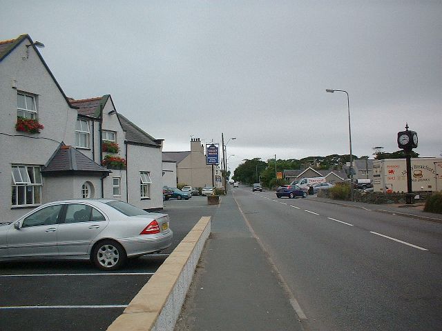
Valley is a small village located on the west coast of Anglesey, an island in northwest Wales. It is situated about 4 miles west of the town of Holyhead, which is the main port for ferry services to Ireland. With a population of around 2,300 people, Valley serves as a residential and commercial hub for the surrounding rural areas.
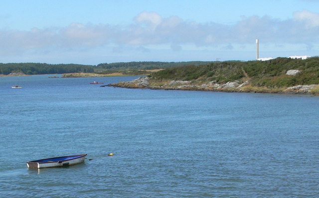
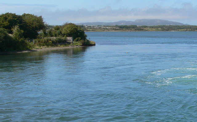
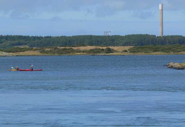
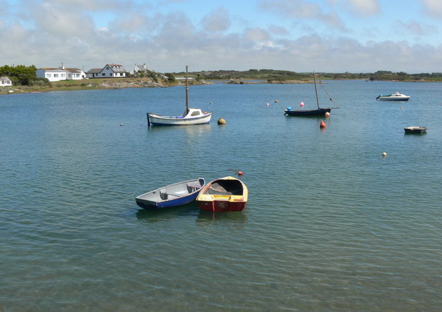
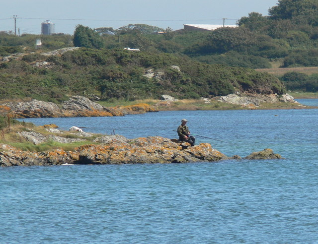
The village is known for its picturesque countryside, stunning coastline, and proximity to several beautiful sandy beaches, such as Trearddur Bay and Rhosneigr, making it a popular destination for tourists and locals alike. These beaches offer opportunities for various water-based activities, including swimming, sailing, windsurfing, and fishing.
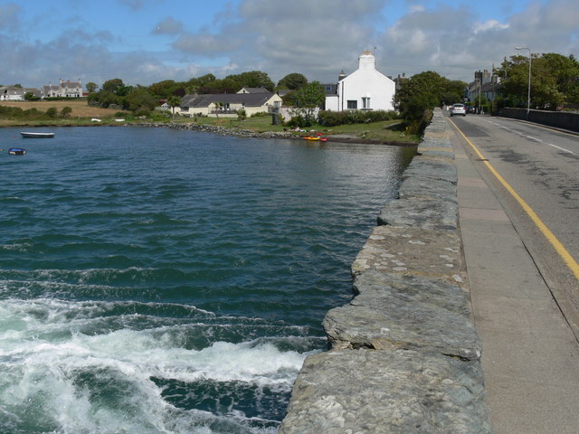
In terms of amenities, Valley has a range of services and facilities to cater to the needs of residents and visitors. There are several shops, including a supermarket, as well as a post office, a pharmacy, and a medical center. The village also has a primary school, a library, and a leisure center, providing recreational activities for both children and adults.
Valley is well-connected to the rest of Anglesey and mainland Wales by road and public transport. The A55 North Wales Expressway runs nearby, offering easy access to the island's road network and connecting to major towns and cities. Additionally, Valley railway station provides regular train services to Holyhead and other destinations.
Overall, Valley offers a peaceful and scenic setting, with its natural beauty and range of amenities making it an attractive place to live or visit on Anglesey.
If you have any feedback on the listing, please let us know in the comments section below.
Valley Images
Images are sourced within 2km of 53.281641/-4.562295 or Grid Reference SH2979. Thanks to Geograph Open Source API. All images are credited.


Valley is located at Grid Ref: SH2979 (Lat: 53.281641, Lng: -4.562295)
Unitary Authority: Isle of Anglesey
Police Authority: North Wales
Also known as: Dyffryn
What 3 Words
///ghosts.mimed.optimists. Near Valley, Isle of Anglesey
Nearby Locations
Related Wikis
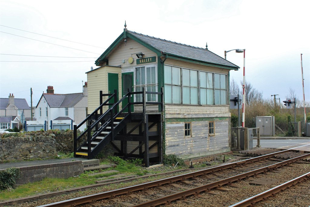
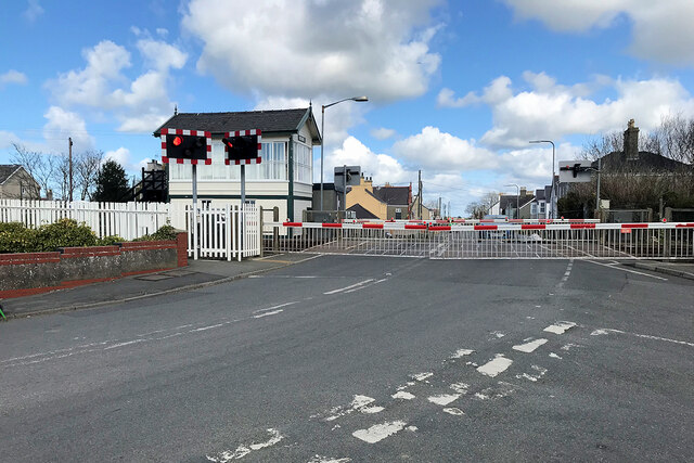
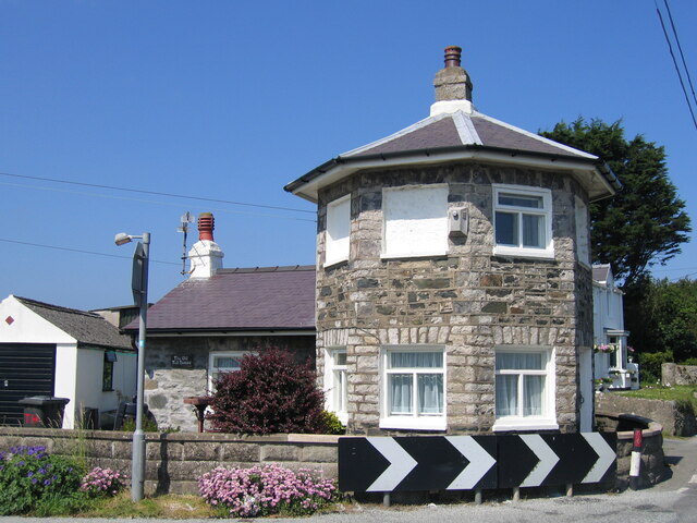
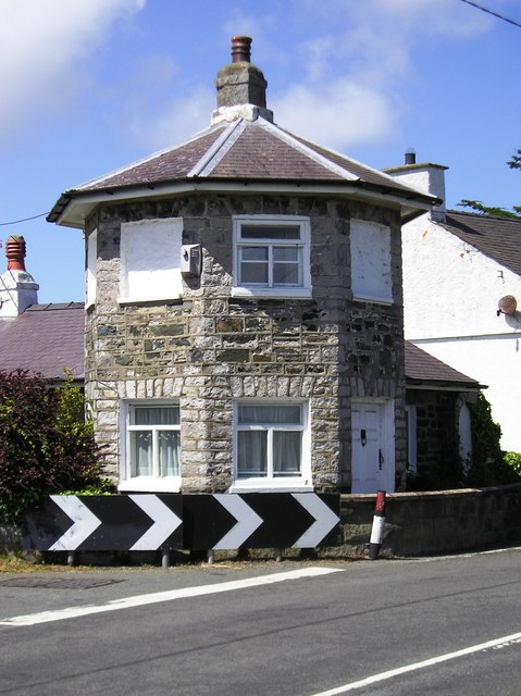
Valley Station Signal Box, Anglesey
Valley Station signal box is a Grade II listed, 2-story, timber built signal box located near the railway station in Valley, Anglesey. Located directly...

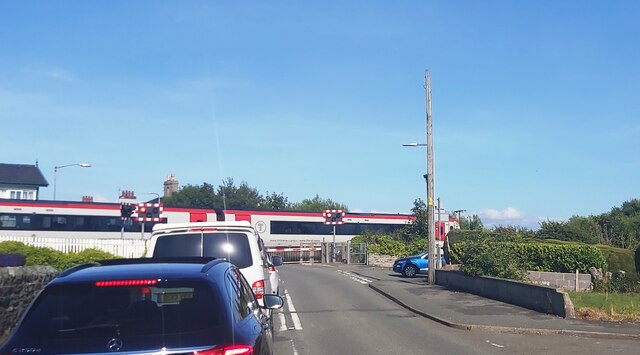
Valley railway station
Valley railway station (Welsh: Gorsaf reilffordd y Fali) is a railway station that serves the village of Valley in Anglesey, Wales. It is the last station...
Valley, Anglesey
Valley (Welsh: Y Fali) is a village, community, and former electoral ward near Holyhead on the west coast of Anglesey, North Wales. The population during...

Valley Rural District
Valley was a rural district part of the administrative county of Anglesey, Wales from 1894 to 1974. The district was formed by the Local Government Act...

St Mary's Church, Llanfair-yn-Neubwll
St Mary's Church was a Church in Wales parish church in Llanfair-yn-Neubwll, Anglesey, Wales. The current building was constructed in the 14th century...

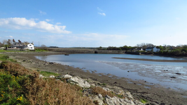
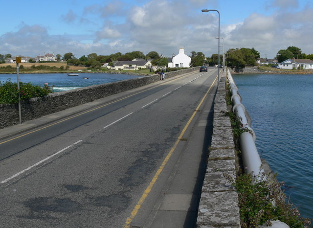
Four Mile Bridge
Four Mile Bridge (Welsh: Pontrhydybont / Pont-rhydbont / Pontrhypont) is a village spanning both sides of the Cymyran Strait in Wales, connecting Holy...

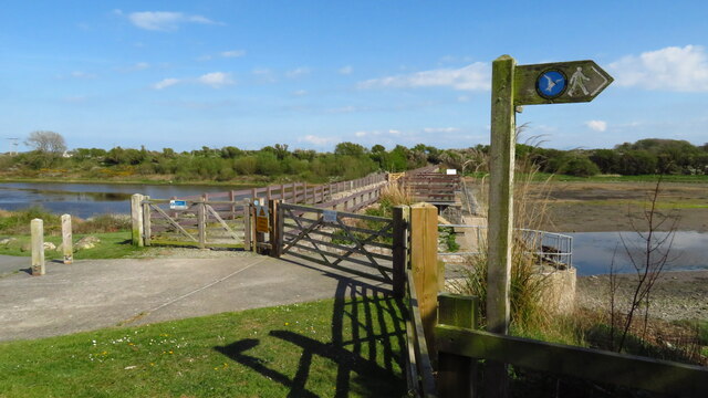
Stanley Embankment
The Stanley Embankment (known locally as the Cob) is a railway, road and cycleway embankment that crosses the Cymyran Strait in Wales, connecting the Island...

Beddmanarch–Cymyran
Beddmanarch–Cymyran is a site of special scientific interest (SSSI) on the Welsh island of Anglesey extending to just over 900 hectares (2,200 acres),...
Nearby Amenities
Located within 500m of 53.281641,-4.562295Have you been to Valley?
Leave your review of Valley below (or comments, questions and feedback).