Gravels Belt
Wood, Forest in Oxfordshire South Oxfordshire
England
Gravels Belt

Gravels Belt, located in Oxfordshire, England, is a charming and picturesque woodland area known for its remarkable beauty and diverse array of flora and fauna. Spanning across a vast expanse of land, Gravels Belt is a haven for nature enthusiasts and outdoor adventurers alike.
The woodland is predominantly composed of ancient, mature trees, including oak, beech, and birch, which create a dense and lush canopy overhead. These towering trees provide shade and shelter for a wide variety of plant species that thrive in the rich, fertile soil beneath. Bluebells, primroses, and wild garlic paint the forest floor with vibrant hues during the spring months, creating a captivating sight for visitors.
The wildlife in Gravels Belt is equally impressive, with numerous species calling this woodland home. Deer can often be spotted gracefully moving through the undergrowth, while squirrels scamper about, collecting acorns and nuts for their winter stash. The area is also a haven for birdwatchers, as it is home to a diverse range of bird species, including woodpeckers, owls, and various songbirds.
Gravels Belt offers a multitude of recreational activities for visitors to enjoy. Hiking and walking trails weave through the woodland, allowing visitors to immerse themselves in the tranquility of nature. There are also designated picnic areas and camping spots available, providing the perfect opportunity for families to spend a day or weekend surrounded by the beauty of the forest.
Overall, Gravels Belt in Oxfordshire is a captivating and enchanting woodland area, offering a serene escape from the hustle and bustle of everyday life. Its beauty and biodiversity make it a must-visit destination for nature enthusiasts and those seeking a peaceful retreat in the heart of nature.
If you have any feedback on the listing, please let us know in the comments section below.
Gravels Belt Images
Images are sourced within 2km of 51.501067/-1.0885738 or Grid Reference SU6378. Thanks to Geograph Open Source API. All images are credited.


Gravels Belt is located at Grid Ref: SU6378 (Lat: 51.501067, Lng: -1.0885738)
Administrative County: Oxfordshire
District: South Oxfordshire
Police Authority: Thames Valley
What 3 Words
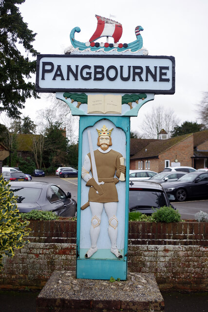
///evolution.timidly.shower. Near Pangbourne, Berkshire
Related Wikis

Goring Rural District
Goring was a rural district in Oxfordshire, England from 1894 to 1932. It was formed from that part of the Bradfield rural sanitary district which was...
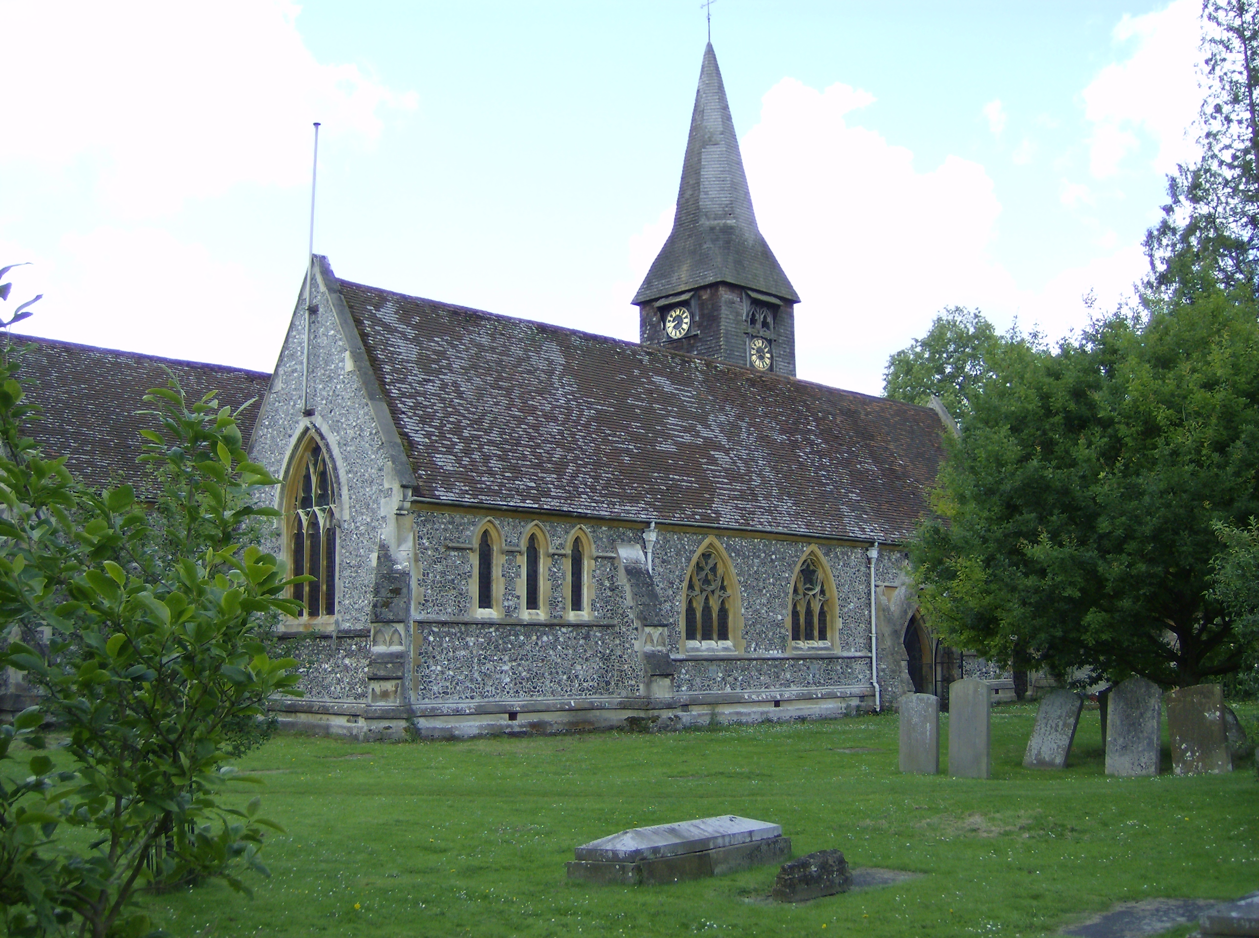
Whitchurch-on-Thames
Whitchurch-on-Thames is a village and civil parish on the Oxfordshire bank of the River Thames, about 5.5 miles (9 km) northwest of Reading, Berkshire...

Whitchurch Hill
Whitchurch Hill is a village in the Chiltern Hills in Oxfordshire, about 5.5 miles (9 km) northwest of Reading, Berkshire, near Whitchurch-on-Thames. The...

Beale Wildlife Park
Beale Wildlife Park is situated by the River Thames, between the villages of Pangbourne and Lower Basildon in Berkshire, England. It has three main areas...
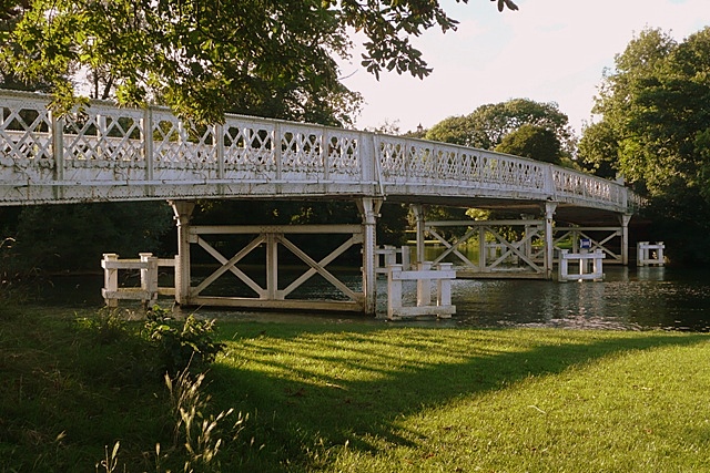
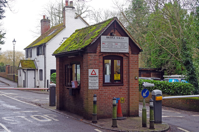
Whitchurch Bridge
Whitchurch Bridge is a toll bridge that carries the B471 road over the River Thames in England. It links the villages of Pangbourne in Berkshire, and Whitchurch...

Pangbourne College Boat Club
Pangbourne College Boat Club is a rowing club based on the River Thames at Pangbourne College Boathouse, Shooters Hill, Pangbourne, Berkshire. == History... ==
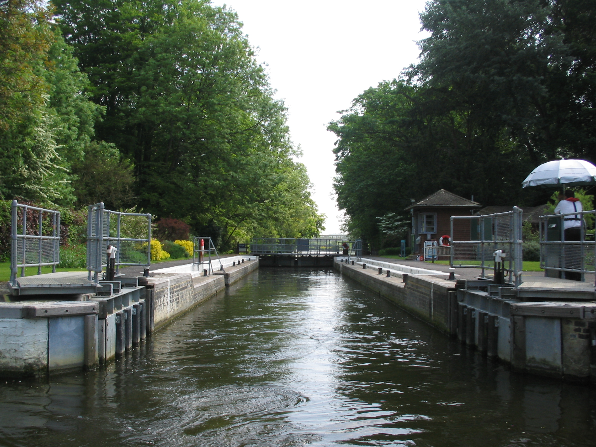
Whitchurch Lock
Whitchurch Lock is a lock and weir on the River Thames in England. It is a pound lock, built by the Thames Navigation Commissioners in 1787. It is on an...

Hartslock
Hartslock, also known as Hartslock Woods, is a 41.8-hectare (103-acre) biological Site of Special Scientific Interest (SSSI) in a wooded area on the north...
Nearby Amenities
Located within 500m of 51.501067,-1.0885738Have you been to Gravels Belt?
Leave your review of Gravels Belt below (or comments, questions and feedback).