Bloomhill Belt
Wood, Forest in Oxfordshire South Oxfordshire
England
Bloomhill Belt

Bloomhill Belt, located in Oxfordshire, England, is a picturesque wood and forest area renowned for its natural beauty. Spanning across a vast expanse of land, it offers an idyllic retreat for nature enthusiasts and outdoor adventurers alike.
The woodlands of Bloomhill Belt are characterized by a diverse range of tree species, including oak, beech, and birch, creating a rich tapestry of colors throughout the seasons. The forest floor is adorned with a carpet of vibrant wildflowers and mosses, further enhancing its scenic appeal.
In addition to its aesthetic allure, Bloomhill Belt is home to a plethora of wildlife. Visitors may spot an array of bird species, such as woodpeckers, owls, and various songbirds, as they wander through the woodland trails. The forest is also inhabited by deer, foxes, and rabbits, adding to the sense of wilderness and natural harmony.
The woodland trails in Bloomhill Belt provide opportunities for hiking, jogging, and cycling, catering to both leisurely strolls and more vigorous activities. Along these paths, visitors can immerse themselves in the tranquility of nature, breathing in the fresh air and relishing the serene atmosphere.
Bloomhill Belt is a popular destination for families, offering picnic spots and designated areas for recreational activities. It is also a favored location for nature photography and wildlife observation, attracting enthusiasts from near and far.
With its stunning natural scenery, diverse flora and fauna, and recreational opportunities, Bloomhill Belt in Oxfordshire stands as a testament to the beauty and serenity of the English countryside.
If you have any feedback on the listing, please let us know in the comments section below.
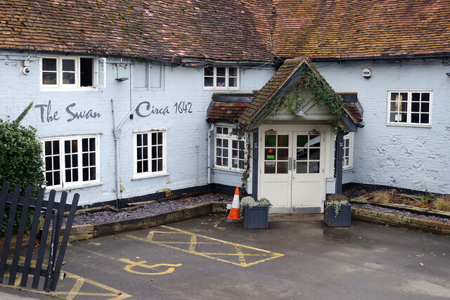
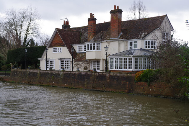
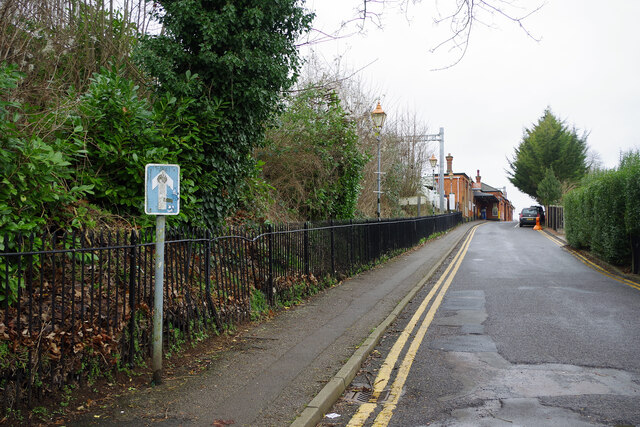
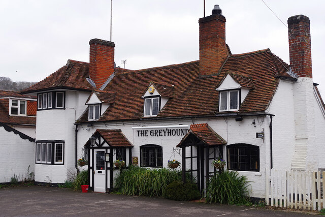
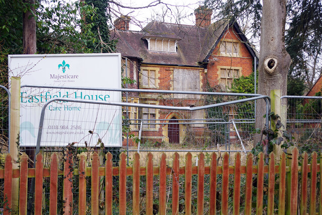
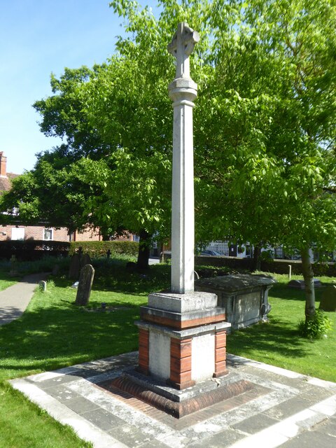
Bloomhill Belt Images
Images are sourced within 2km of 51.500671/-1.09093 or Grid Reference SU6378. Thanks to Geograph Open Source API. All images are credited.


Bloomhill Belt is located at Grid Ref: SU6378 (Lat: 51.500671, Lng: -1.09093)
Administrative County: Oxfordshire
District: South Oxfordshire
Police Authority: Thames Valley
What 3 Words
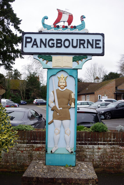
///vineyard.reinstate.cares. Near Pangbourne, Berkshire
Related Wikis

Goring Rural District
Goring was a rural district in Oxfordshire, England from 1894 to 1932. It was formed from that part of the Bradfield rural sanitary district which was...

Beale Wildlife Park
Beale Wildlife Park is situated by the River Thames, between the villages of Pangbourne and Lower Basildon in Berkshire, England. It has three main areas...
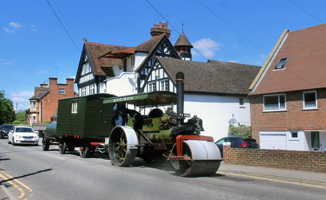
Whitchurch-on-Thames
Whitchurch-on-Thames is a village and civil parish on the Oxfordshire bank of the River Thames, about 5.5 miles (9 km) northwest of Reading, Berkshire...

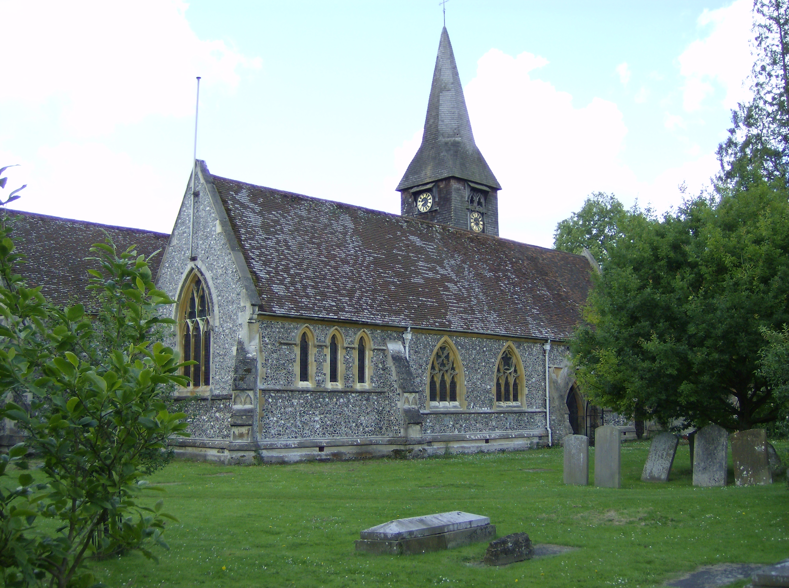
Whitchurch Hill
Whitchurch Hill is a village in the Chiltern Hills in Oxfordshire, about 5.5 miles (9 km) northwest of Reading, Berkshire, near Whitchurch-on-Thames. The...

Hartslock
Hartslock, also known as Hartslock Woods, is a 41.8-hectare (103-acre) biological Site of Special Scientific Interest (SSSI) in a wooded area on the north...

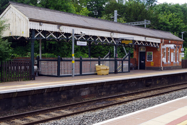
Pangbourne College Boat Club
Pangbourne College Boat Club is a rowing club based on the River Thames at Pangbourne College Boathouse, Shooters Hill, Pangbourne, Berkshire. == History... ==
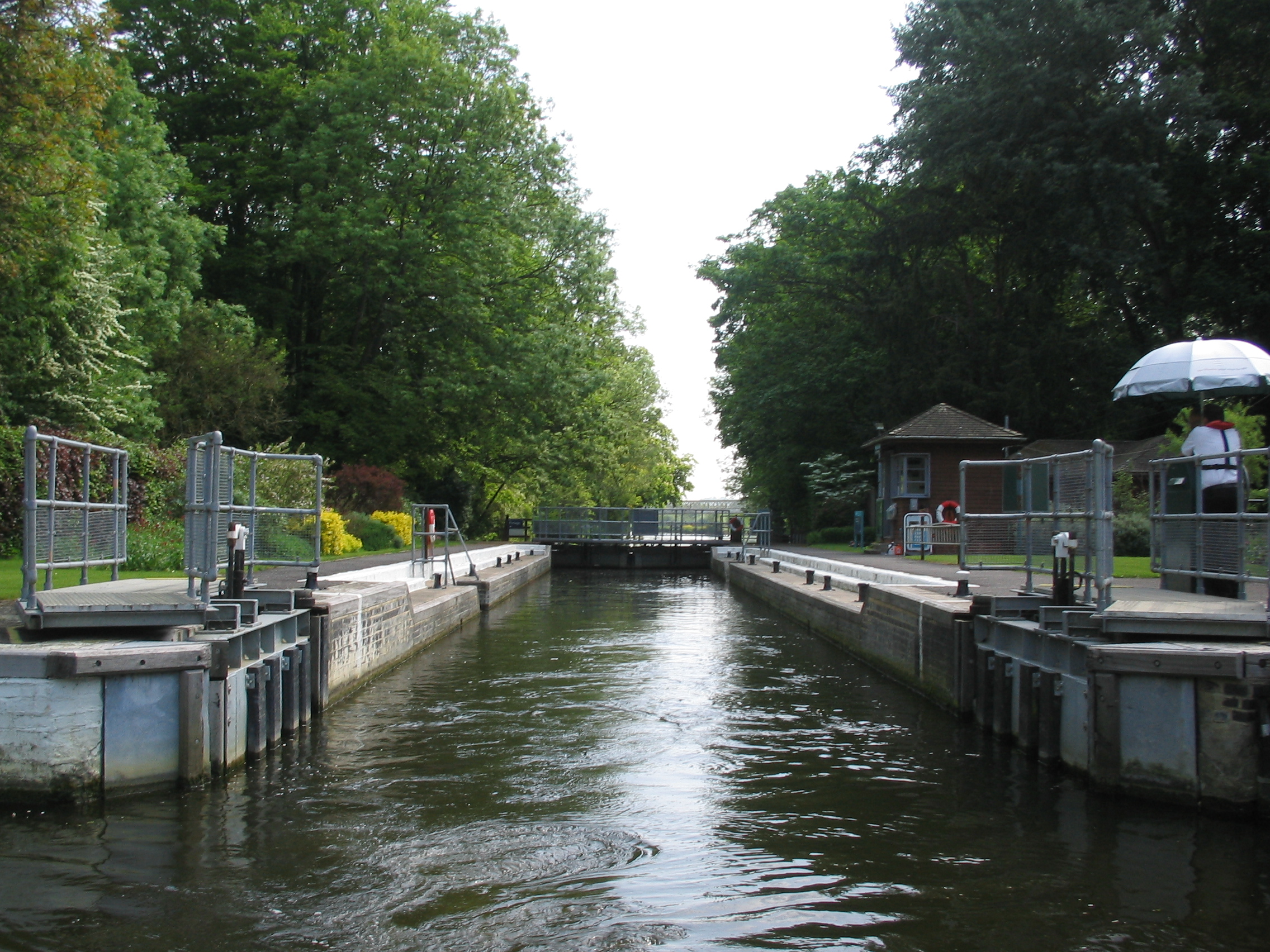
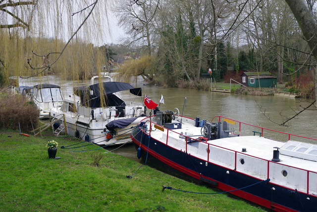
Whitchurch Lock
Whitchurch Lock is a lock and weir on the River Thames in England. It is a pound lock, built by the Thames Navigation Commissioners in 1787. It is on an...
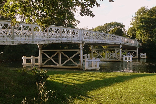
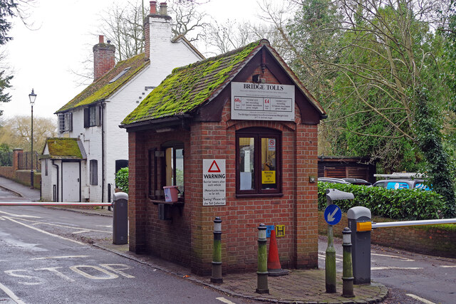
Whitchurch Bridge
Whitchurch Bridge is a toll bridge that carries the B471 road over the River Thames in England. It links the villages of Pangbourne in Berkshire, and Whitchurch...
Nearby Amenities
Located within 500m of 51.500671,-1.09093Have you been to Bloomhill Belt?
Leave your review of Bloomhill Belt below (or comments, questions and feedback).