Stonycroft Plantation
Wood, Forest in Oxfordshire South Oxfordshire
England
Stonycroft Plantation

Stonycroft Plantation is a pristine woodland located in Oxfordshire, England. Situated in the heart of the county, it covers an expansive area, offering a serene and enchanting environment for nature lovers and outdoor enthusiasts. The plantation is uniquely positioned adjacent to the picturesque town of Wood, surrounded by a dense forest that adds to its natural charm.
The woodland is home to a diverse range of flora and fauna, with a rich ecosystem that supports a variety of wildlife. Towering oak and beech trees dominate the landscape, creating a lush canopy that provides shade and shelter for the smaller plant species below. Bluebells, wild garlic, and ferns carpet the forest floor, adding bursts of color throughout the seasons.
Stonycroft Plantation boasts several well-maintained walking trails, allowing visitors to explore the area at their own pace. These trails wind through the woodland, offering breathtaking views of the surrounding countryside and glimpses of local wildlife. The plantation also features a designated picnic area, where families and friends can gather to enjoy a meal amidst the tranquility of nature.
Preservation and conservation efforts are integral to Stonycroft Plantation, ensuring the protection of its natural beauty for future generations. The woodland is managed by local authorities, who work diligently to maintain its ecological balance and prevent any damage or disturbance to the delicate ecosystem.
Whether it's a leisurely stroll, a picnic with loved ones, or a chance to reconnect with nature, Stonycroft Plantation in Oxfordshire provides a serene and idyllic haven for all who visit.
If you have any feedback on the listing, please let us know in the comments section below.
Stonycroft Plantation Images
Images are sourced within 2km of 51.497997/-1.0904214 or Grid Reference SU6378. Thanks to Geograph Open Source API. All images are credited.


Stonycroft Plantation is located at Grid Ref: SU6378 (Lat: 51.497997, Lng: -1.0904214)
Administrative County: Oxfordshire
District: South Oxfordshire
Police Authority: Thames Valley
What 3 Words
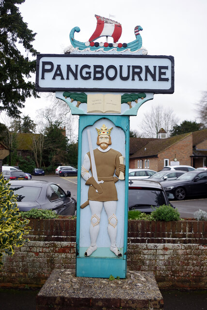
///throat.hosts.skipped. Near Pangbourne, Berkshire
Related Wikis
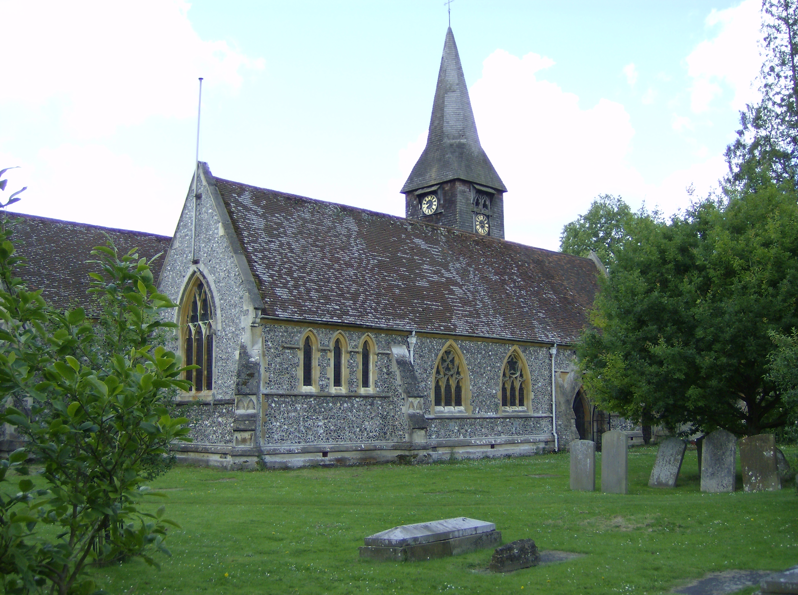
Whitchurch-on-Thames
Whitchurch-on-Thames is a village and civil parish on the Oxfordshire bank of the River Thames, about 5.5 miles (9 km) northwest of Reading, Berkshire...

Pangbourne College Boat Club
Pangbourne College Boat Club is a rowing club based on the River Thames at Pangbourne College Boathouse, Shooters Hill, Pangbourne, Berkshire. == History... ==

Beale Wildlife Park
Beale Wildlife Park is situated by the River Thames, between the villages of Pangbourne and Lower Basildon in Berkshire, England. It has three main areas...
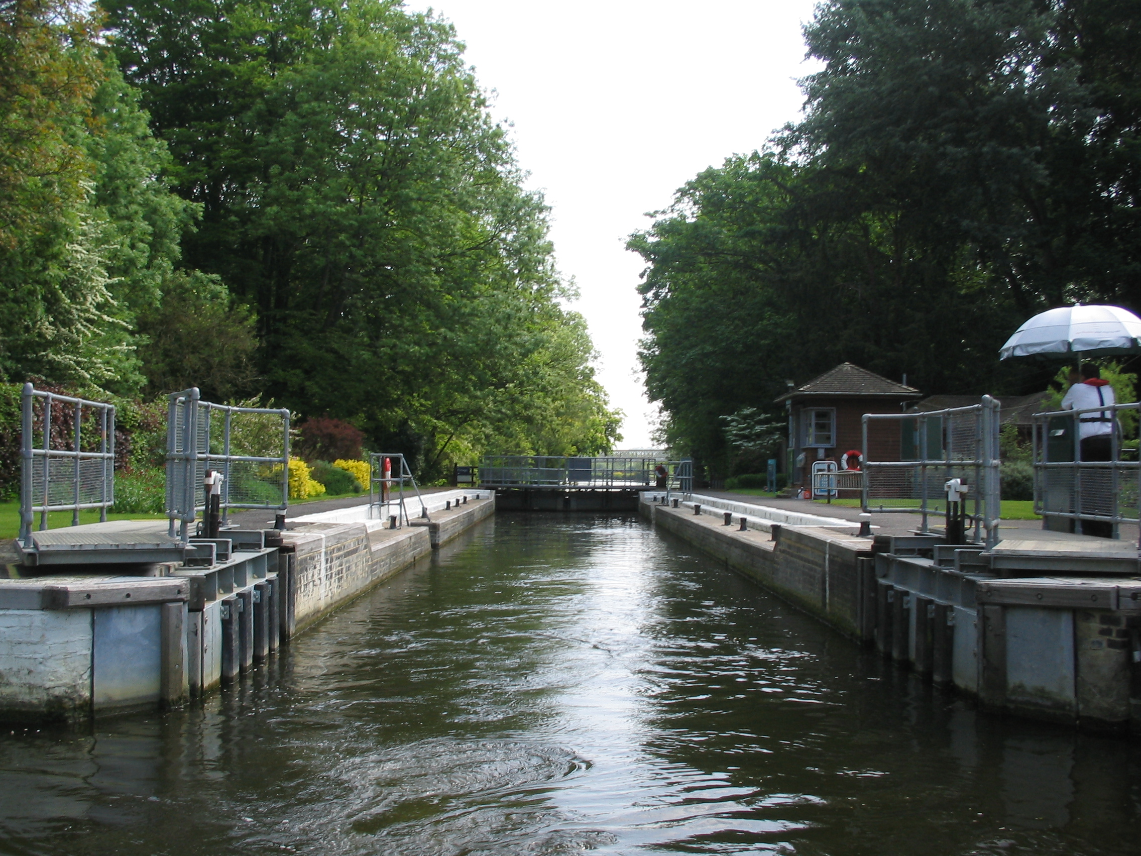
Whitchurch Lock
Whitchurch Lock is a lock and weir on the River Thames in England. It is a pound lock, built by the Thames Navigation Commissioners in 1787. It is on an...
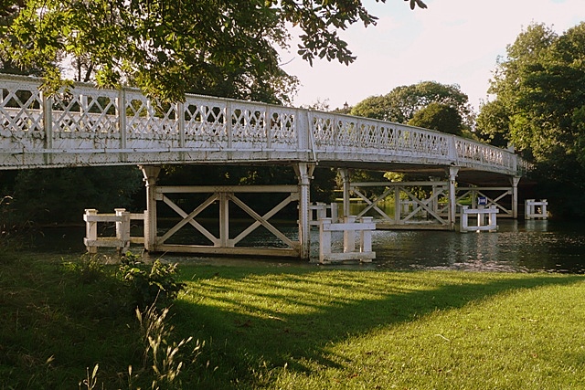
Whitchurch Bridge
Whitchurch Bridge is a toll bridge that carries the B471 road over the River Thames in England. It links the villages of Pangbourne in Berkshire, and Whitchurch...

Goring Rural District
Goring was a rural district in Oxfordshire, England from 1894 to 1932. It was formed from that part of the Bradfield rural sanitary district which was...

River Pang
The River Pang is a small chalk stream river in the west of the English county of Berkshire, and a tributary of the River Thames. It runs for approximately...

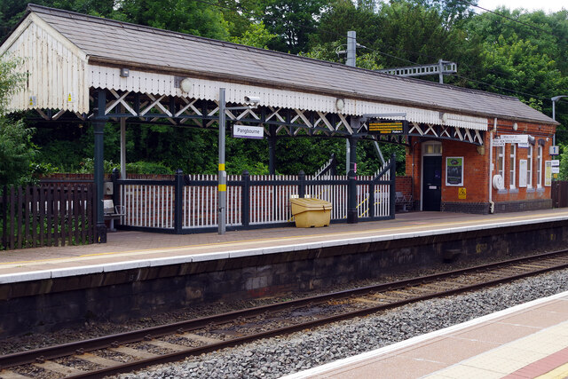
Pangbourne railway station
Pangbourne railway station serves the village of Pangbourne in the county of Berkshire, and across the River Thames the village of Whitchurch-on-Thames...
Nearby Amenities
Located within 500m of 51.497997,-1.0904214Have you been to Stonycroft Plantation?
Leave your review of Stonycroft Plantation below (or comments, questions and feedback).