Durrington-on-Sea
Settlement in Sussex Worthing
England
Durrington-on-Sea

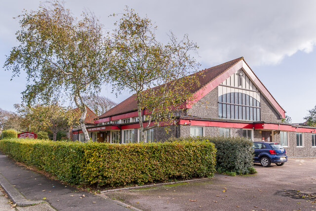
Durrington-on-Sea is a small coastal town located in West Sussex, England. Situated just two miles west of the larger town of Worthing, it is part of the Worthing borough and lies on the English Channel coastline.
With a population of around 13,000 residents, Durrington-on-Sea offers a mix of residential and commercial areas. The town is predominantly known for its stunning beach, which attracts locals and tourists alike during the summer months. The sandy shores provide a picturesque setting for sunbathing, picnicking, and enjoying various water sports.
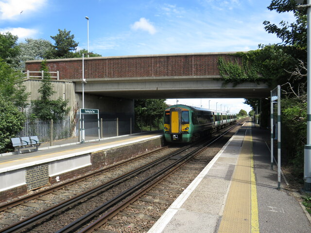
Durrington-on-Sea is well connected to the nearby towns and cities, with regular train services running from the local train station to Worthing, Brighton, and London. The town also benefits from several bus routes, making it easily accessible for both residents and visitors.
In terms of amenities, Durrington-on-Sea has a range of shops, cafes, and restaurants to cater to the needs of its residents. There are also primary and secondary schools within the town, ensuring that families have access to quality education.
For those who enjoy outdoor activities and nature, Durrington-on-Sea is surrounded by beautiful countryside and offers easy access to the South Downs National Park. The park provides opportunities for hiking, cycling, and exploring the stunning landscapes of Sussex.
Overall, Durrington-on-Sea is a charming coastal town that offers a peaceful and relaxed lifestyle, with its beautiful beach, convenient amenities, and proximity to both nature and nearby urban centers.
If you have any feedback on the listing, please let us know in the comments section below.
Durrington-on-Sea Images
Images are sourced within 2km of 50.815728/-0.4115296 or Grid Reference TQ1203. Thanks to Geograph Open Source API. All images are credited.


Durrington-on-Sea is located at Grid Ref: TQ1203 (Lat: 50.815728, Lng: -0.4115296)
Administrative County: West Sussex
District: Worthing
Police Authority: Sussex
What 3 Words
///return.loads.dined. Near Goring-by-Sea, West Sussex
Nearby Locations
Related Wikis
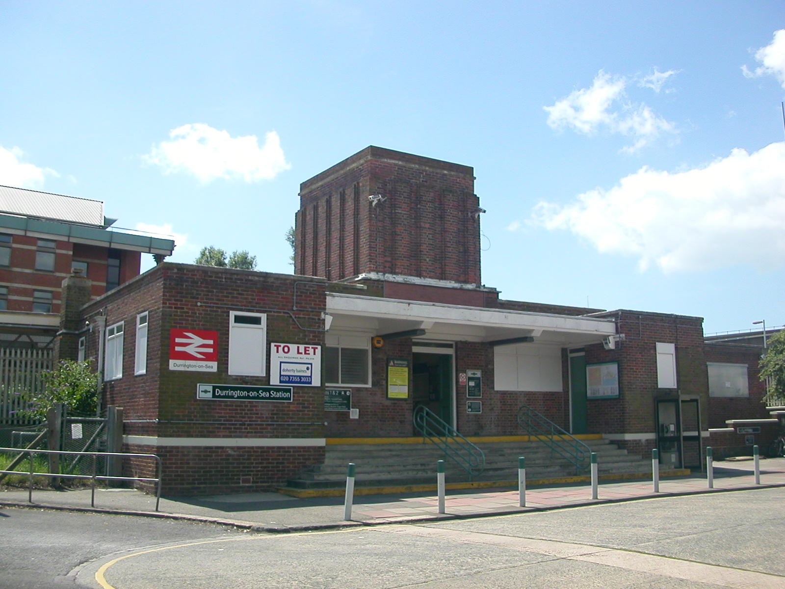
Durrington-on-Sea railway station
Durrington-on-Sea railway station is in Goring, a suburb of Worthing in the county of West Sussex. It is 12 miles 13 chains (19.6 km) down the line from...

Worthing College
Worthing College is a sixth form college. The College is situated in Broadwater, in the town of Worthing on the south coast of England. == History... ==

World of Books
Wob (formerly called World of Books) is a second-hand book retailer, reported to be the United Kingdom's largest. The company buys unsold inventory of...
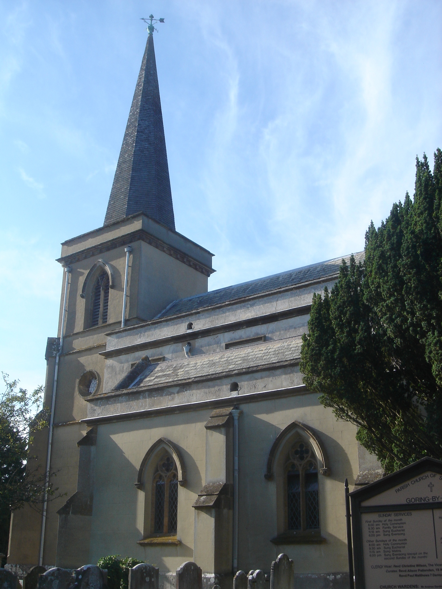
St Mary's Church, Goring-by-Sea
St Mary's Church is an Anglican church in the Goring-by-Sea area of the Borough of Worthing, one of seven local government districts in the English county...
Nearby Amenities
Located within 500m of 50.815728,-0.4115296Have you been to Durrington-on-Sea?
Leave your review of Durrington-on-Sea below (or comments, questions and feedback).