Durris Ho
Settlement in Kincardineshire
Scotland
Durris Ho
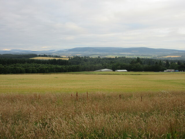
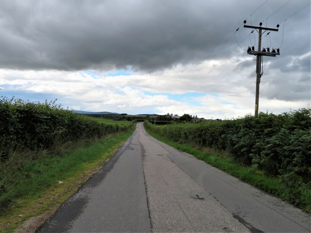
Durris Ho is a small rural settlement located in Kincardineshire, Scotland. Situated approximately 12 miles west of Aberdeen, it lies in the picturesque countryside near the River Dee. With its tranquil surroundings and stunning landscapes, Durris Ho attracts visitors seeking a peaceful escape from urban life.
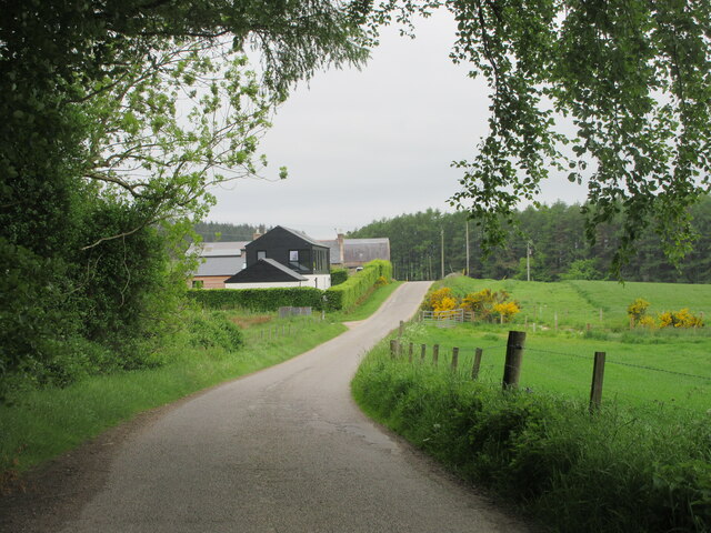
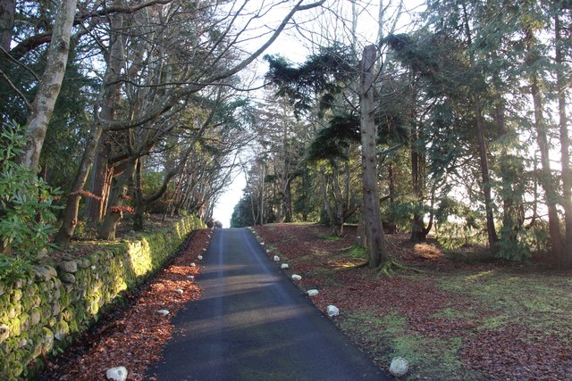
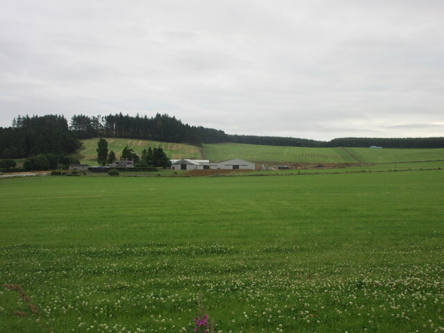
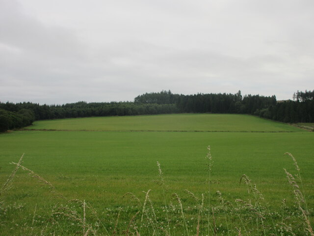
The settlement comprises a cluster of traditional stone cottages and farmhouses, which reflect its rich historical heritage. Dating back to the 18th century, these buildings contribute to the charming character of the area. The idyllic countryside setting offers breathtaking views of rolling hills, verdant meadows, and dense woodlands. Nature enthusiasts are drawn to Durris Ho's vibrant flora and fauna, which are particularly abundant in the nearby Durris Forest.
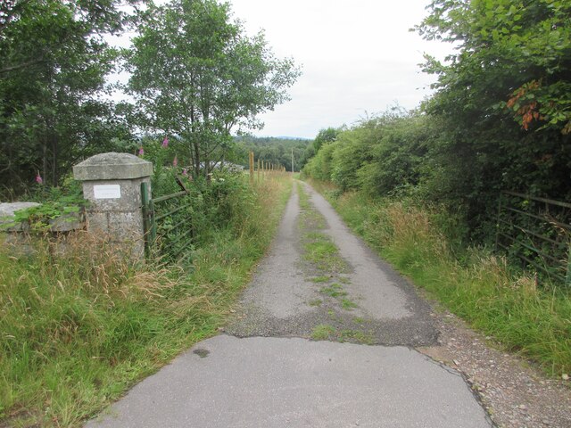
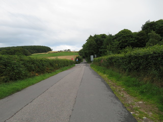
Durris Ho offers a range of recreational activities for both locals and tourists. The area is a haven for hikers, with numerous trails and pathways winding through the stunning countryside. The nearby River Dee is renowned for its excellent fishing opportunities, attracting angling enthusiasts from far and wide.
Despite its rural setting, Durris Ho benefits from its proximity to Aberdeen, which provides easy access to amenities such as shops, restaurants, and cultural attractions. Furthermore, the area boasts a strong sense of community, with various events and gatherings organized throughout the year.
In summary, Durris Ho is a picturesque and historically significant settlement nestled in the beautiful Kincardineshire countryside. With its serene atmosphere and abundance of outdoor activities, it offers a unique and tranquil experience for visitors seeking a peaceful retreat.
If you have any feedback on the listing, please let us know in the comments section below.
Durris Ho Images
Images are sourced within 2km of 57.054577/-2.3478194 or Grid Reference NO7996. Thanks to Geograph Open Source API. All images are credited.


Durris Ho is located at Grid Ref: NO7996 (Lat: 57.054577, Lng: -2.3478194)
Unitary Authority: Aberdeenshire
Police Authority: North East
What 3 Words
///oasis.warms.slicing. Near Peterculter, Aberdeen
Nearby Locations
Related Wikis

Balfour, Aberdeenshire
Balfour (Scottish Gaelic: Baile Phùir), Aberdeenshire is a settlement on Royal Deeside in Aberdeenshire, Scotland. Balfour lies south of the River Dee...

Durris Castle
Durris Castle or the House of Dores was an early royal residence on the southern bank of the River Dee in Aberdeenshire, Scotland. The castle controlled...

Kirkton of Durris
Kirkton of Durris is a hamlet in the Kincardine and Mearns area of Aberdeenshire, Scotland. Historic structures in the vicinity include Maryculter House...
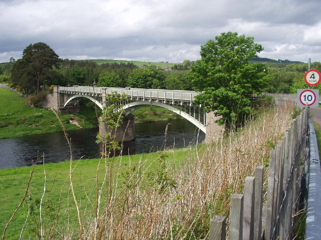
Park Bridge, Aberdeenshire
Park Bridge is a road bridge in Aberdeenshire, Scotland which crosses the River Dee. It is currently open to pedestrians and cyclists, and it also carried...

Park railway station (Deeside)
Park railway station was opened in September 1853 by the Deeside Railway and served the rural area around the Park estate, Nether Sunnyside, West Redford...
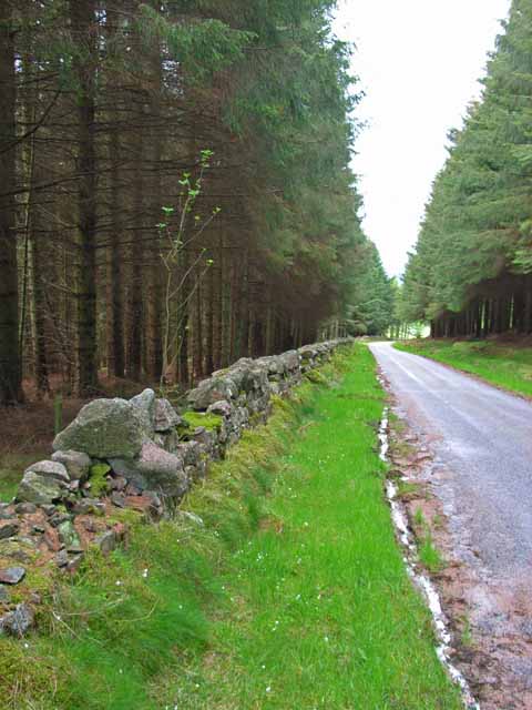
Durris Forest
Durris Forest is a chiefly coniferous forest south of the River Dee approximately three kilometres west of Netherley in Aberdeenshire, Scotland. The A957...

Mills of Drum railway station
Mills of Drum railway station was opened in September 1853 by the Deeside Railway and served the rural area around Park House and Crathes estates at the...

Kincardine and Mearns
Kincardine and Mearns is one of six area committees of the Aberdeenshire council area in Scotland. It has a population of 38,506 (2001 Census). There...
Related Videos
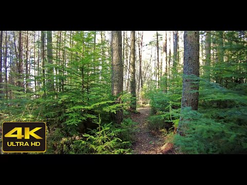
Banchory's Hidden Gem: Ashentilly Forest 4K Walk
Banchory's Hidden Gem: Ashentilly Forest 4K Walk. The video was recorded on location in March 2022. The video features ...
![4K Ashentilly Wood Walk, Scottish Countryside | Nature Sounds | ASMR | [short preview]](https://i.ytimg.com/vi/wo59V6P4728/hqdefault.jpg)
4K Ashentilly Wood Walk, Scottish Countryside | Nature Sounds | ASMR | [short preview]
Short preview 4K Ashentilly Wood walk, Scottish Countryside with no added music and nature sounds ASMR. The video was ...
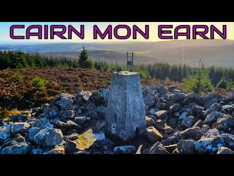
Climbing Cairn Mon Earn (Marylyn) 378m 1240ft.
Cairn Mon Earn lies within the Durris Forest, in the Mounth region of the Grampian Mountains. It forms the backdrop to Netherley ...
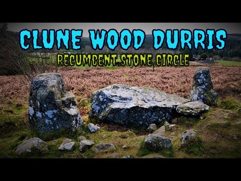
Finding the Megalithic Monument at Clune Wood Durris .
The stone circle in Clune Wood is located on the summit of the hill, with fine views out over the southern arc. The stone circle is ...
Nearby Amenities
Located within 500m of 57.054577,-2.3478194Have you been to Durris Ho?
Leave your review of Durris Ho below (or comments, questions and feedback).