Bartholomew's Copse
Wood, Forest in Berkshire
England
Bartholomew's Copse
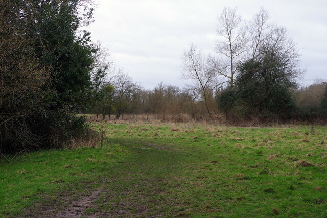
Bartholomew's Copse is a picturesque woodland located in Berkshire, England. Spanning over an area of approximately 100 acres, this charming copse is a haven for nature enthusiasts and those seeking tranquility amidst the hustle and bustle of daily life.
The copse is predominantly composed of broadleaf trees, including oak, beech, and ash, which create a dense canopy overhead, allowing only dappled sunlight to filter through. The forest floor is adorned with a variety of wildflowers, ferns, and mosses, creating a vibrant and colorful landscape throughout the year.
The copse is crisscrossed by a network of well-maintained footpaths, providing visitors with the opportunity to explore its natural beauty at their own pace. Along these trails, one may encounter an array of wildlife, such as squirrels, rabbits, and various species of birds, making it a haven for birdwatchers and animal lovers alike.
Bartholomew's Copse also boasts a small pond, which is home to a diverse range of aquatic life, including frogs, newts, and dragonflies. This serene water body provides a tranquil spot for visitors to relax and observe the surrounding flora and fauna.
The copse is a popular destination for outdoor activities such as walking, hiking, and picnicking. Its idyllic setting offers a peaceful escape from the pressures of modern life, attracting both locals and tourists alike.
In conclusion, Bartholomew's Copse is a verdant and serene woodland, offering visitors a chance to immerse themselves in nature's beauty. Its diverse range of flora and fauna, coupled with its peaceful ambiance, makes it a must-visit destination for nature lovers in Berkshire.
If you have any feedback on the listing, please let us know in the comments section below.
Bartholomew's Copse Images
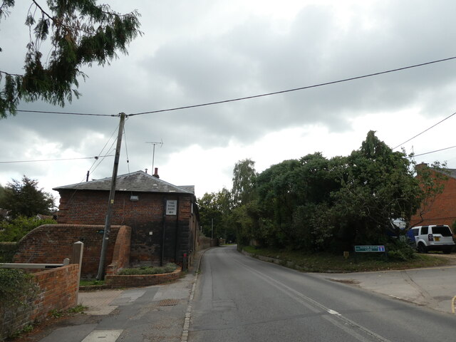
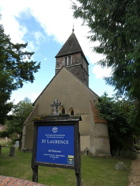
Images are sourced within 2km of 51.468612/-1.1056183 or Grid Reference SU6274. Thanks to Geograph Open Source API. All images are credited.


Bartholomew's Copse is located at Grid Ref: SU6274 (Lat: 51.468612, Lng: -1.1056183)
Unitary Authority: West Berkshire
Police Authority: Thames Valley
What 3 Words
///dissolves.cafe.filed. Near Pangbourne, Berkshire
Nearby Locations
Related Wikis

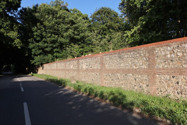
Bere Court
Bere Court is an English country house. It is a historic Grade I listed building. The house is located southwest of Pangbourne, Berkshire where it was...

River Bourne, Berkshire
The River Bourne is a river in the English county of Berkshire. It is a tributary of the River Pang and, indirectly, of the River Thames. The Bourne's...

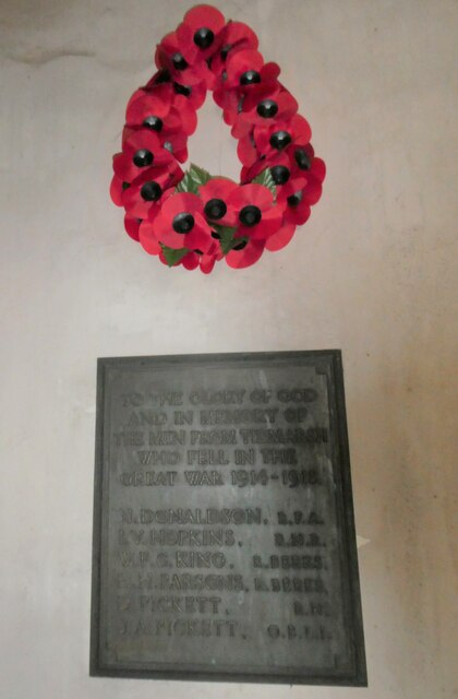
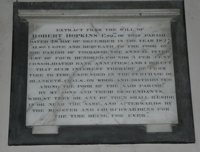
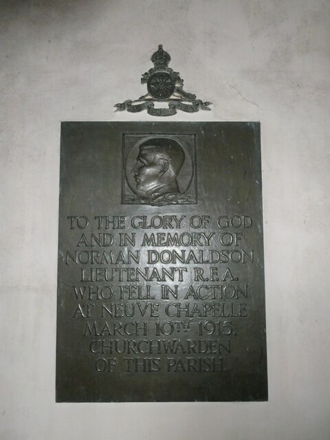
Tidmarsh
Tidmarsh is a village in West Berkshire, England. Its development is mainly residential and agricultural, and is centred on the A340 road between Pangbourne...
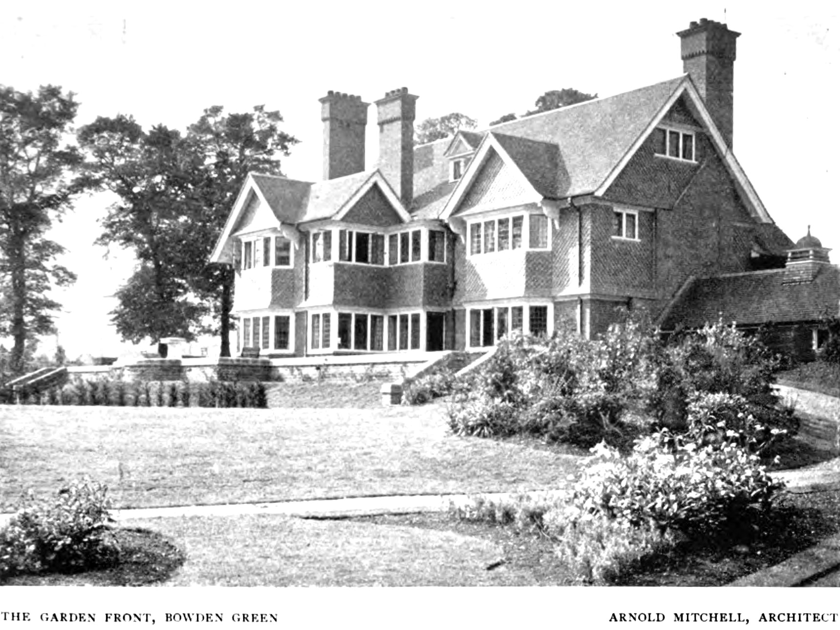
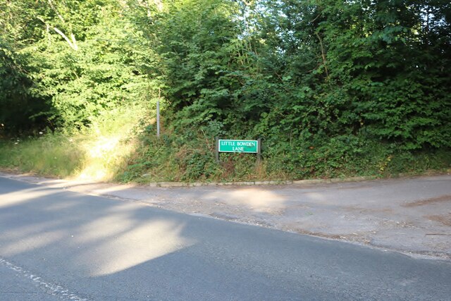
Bowden House, Berkshire
Bowden House, previously called both "Bowden Green" and "Port Jackson", is an English country house. It is a historic Grade II* listed building. The house...
Nearby Amenities
Located within 500m of 51.468612,-1.1056183Have you been to Bartholomew's Copse?
Leave your review of Bartholomew's Copse below (or comments, questions and feedback).