Baysdale Wood

Wood, Forest in Yorkshire Hambleton

England

Baysdale Wood

Heather on Battersby Moor Heather on Battersby Moor.
Heather on Battersby Moor Credit: T Eyre

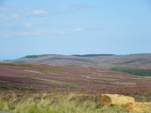
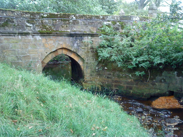
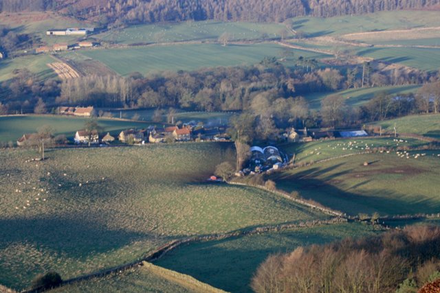
Baysdale Wood is a picturesque woodland located in the Yorkshire Moors, in the northern part of England. Covering an area of approximately 1,000 acres, it is a popular destination for nature enthusiasts and hikers seeking tranquility and natural beauty. The wood is situated near the village of Baysdale, surrounded by rolling hills and offering stunning views of the surrounding landscape.

This ancient woodland is primarily made up of native tree species, such as oak, beech, birch, and rowan. The dense canopy provides a cool and shaded environment, perfect for a leisurely stroll on a hot summer's day. The forest floor is covered in a rich carpet of mosses, ferns, and wildflowers, adding to the enchanting atmosphere.

Baysdale Wood is also home to a diverse range of wildlife. Birdwatchers can spot various species, including woodpeckers, owls, and finches, while lucky visitors might catch a glimpse of roe deer or red squirrels among the trees. The wood is a designated Site of Special Scientific Interest (SSSI), reflecting its importance for conservation and biodiversity.

The wood is crisscrossed with a network of well-maintained footpaths, allowing visitors to explore its beauty at their leisure. There are also several picnic areas and benches scattered throughout the wood, providing perfect spots to relax and enjoy a packed lunch.

Overall, Baysdale Wood offers a tranquil and immersive experience in the heart of Yorkshire's natural beauty, attracting nature enthusiasts and those seeking solace in the outdoors.

If you have any feedback on the listing, please let us know in the comments section below.

Baysdale Wood Images

Images are sourced within 2km of 54.457579/-1.0415917 or Grid Reference NZ6207. Thanks to Geograph Open Source API. All images are credited.

Heather on Battersby Moor Heather on Battersby Moor.
Heather on Battersby Moor
Heather on Battersby Moor.
Juniper Gate view Looking NE from Juniper Gate towards Guisborough Woods.
Juniper Gate view
Looking NE from Juniper Gate towards Guisborough Woods.
Baysdale On the route from Juniper Gate to Baysdale Abbey.
Baysdale
On the route from Juniper Gate to Baysdale Abbey.
Ruined barn in Baysdale Looking west from the path the goes along the north side of Baysdale.
Ruined barn in Baysdale
Looking west from the path the goes along the north side of Baysdale.
Small Copper Small Copper butterfly in Baysdale.
Small Copper
Small Copper butterfly in Baysdale.
Ruined sheep fold at Warren Moor NYM HER No: 9698
A post medieval sheep fold identified from historic mapping with slight structural remains.
Ruined sheep fold at Warren Moor
NYM HER No: 9698 A post medieval sheep fold identified from historic mapping with slight structural remains.
Baysdale bridge One of the oldest bridges on the North Yorkshire moors. Possibly dating from the 1200’s.
Baysdale bridge
One of the oldest bridges on the North Yorkshire moors. Possibly dating from the 1200’s.
Warren Moor Ironstone Mine The unusual yet familiar chimney that dominates the site of the failed Warren Moor Mine, a short lived enterprise that hoped to capitalise on the 1860s ironstone boom.

The architecture of the chimney is in contrast to the utilitarian style later in the century. No expense seemed to have been spared, with decorative polychromatic banding, and the top splayed out. All the more surprising that it would only be noticed by grouse and sheep.

But perhaps it was a condition imposed on the mining company by the landowners, the Turton Estate.

There are two reasons why a chimney would have been needed: to vent noxious fumes or to provide a draw for the steam boilers. Being in such an exposed location it’s hard to believe a lack of a draw would have been considered a problem.

On the bracken covered bank to the right of the chimney, a number of drifts can be seen. The Warren Moor Iron Company were responsible for these, which accessed the Dogger ironstone seam, but this was found not to be good enough quality. The company went into liquidation.

The Main seam is generally about 200′ (61m) lower than the Dogger, and it is this seam that, four years later in 1872, the Leven Vale Iron Company tried to exploit by sinking shafts necessitating building the chimney. It is thought the mine was abandoned before reaching the seam.

As the chimney is just over 64′ (19m) high, it gives a visual indication of the depth of the shafts needed.

Incidentally, clearly visible this side of Warren Farm, at the top of the hill, is a Grade II listed privy, contemporary with the house itself, late 18th-century.

For sources and references see my blog <span class="nowrap"><a title="http://www.fhithich.uk/?p=27324" rel="nofollow ugc noopener" href="http://www.fhithich.uk/?p=27324">Link</a><img style="margin-left:2px;" alt="External link" title="External link - shift click to open in new window" src="https://s1.geograph.org.uk/img/external.png" width="10" height="10"/></span>
Warren Moor Ironstone Mine
The unusual yet familiar chimney that dominates the site of the failed Warren Moor Mine, a short lived enterprise that hoped to capitalise on the 1860s ironstone boom. The architecture of the chimney is in contrast to the utilitarian style later in the century. No expense seemed to have been spared, with decorative polychromatic banding, and the top splayed out. All the more surprising that it would only be noticed by grouse and sheep. But perhaps it was a condition imposed on the mining company by the landowners, the Turton Estate. There are two reasons why a chimney would have been needed: to vent noxious fumes or to provide a draw for the steam boilers. Being in such an exposed location it’s hard to believe a lack of a draw would have been considered a problem. On the bracken covered bank to the right of the chimney, a number of drifts can be seen. The Warren Moor Iron Company were responsible for these, which accessed the Dogger ironstone seam, but this was found not to be good enough quality. The company went into liquidation. The Main seam is generally about 200′ (61m) lower than the Dogger, and it is this seam that, four years later in 1872, the Leven Vale Iron Company tried to exploit by sinking shafts necessitating building the chimney. It is thought the mine was abandoned before reaching the seam. As the chimney is just over 64′ (19m) high, it gives a visual indication of the depth of the shafts needed. Incidentally, clearly visible this side of Warren Farm, at the top of the hill, is a Grade II listed privy, contemporary with the house itself, late 18th-century. For sources and references see my blog LinkExternal link
Grouse carving A weather-worn carving of a grouse in a shooting butt. Probably done by Roland Close, local archaeologist and estate worker who lived in Baysdale. Other butts in the sequence have a similar carving.
Grouse carving
A weather-worn carving of a grouse in a shooting butt. Probably done by Roland Close, local archaeologist and estate worker who lived in Baysdale. Other butts in the sequence have a similar carving.
Boulder field, Kildale Moor
New quarry, Kildale Moor
Baysdale on a hot morning The steep climb out of Baysdale on a hot August morning.
Baysdale on a hot morning
The steep climb out of Baysdale on a hot August morning.
Middle Head Heather on Middle Head.
Middle Head
Heather on Middle Head.
Baysdale Cross view Looking NE, there was a good breeze at this point.
Baysdale Cross view
Looking NE, there was a good breeze at this point.
Baysdale Moor Looking NE.
Baysdale Moor
Looking NE.
Baysdale Moor 2 Looking north.
Baysdale Moor 2
Looking north.
Kildale Moor Looking SW into Baysdale.
Kildale Moor
Looking SW into Baysdale.
Leven Vale chimney The old chimney in Leven Vale.
Leven Vale chimney
The old chimney in Leven Vale.
Show me another place!

Baysdale Wood is located at Grid Ref: NZ6207 (Lat: 54.457579, Lng: -1.0415917)

Division: North Riding

Administrative County: North Yorkshire

District: Hambleton

Police Authority: North Yorkshire

What 3 Words

///enormous.desktop.unlimited. Near Ingleby Greenhow, North Yorkshire

Nearby Locations

Baysdale Wood

Related Wikis

Basedale Priory

Basedale Priory or Baysdale Priory was a priory in North Yorkshire, England located 8 miles (13 km) East from the parish church of Stokesley. It was a...

Warren Moor Mine

The Warren Moor Mine, was a short-lived mining concern south of Kildale, North Yorkshire, England. Activity at the site was limited to drift mining, and...

Kildale

Kildale is a village and civil parish in Hambleton district of North Yorkshire, England. It lies approximately 3 miles (4.8 km) south-east from Great Ayton...

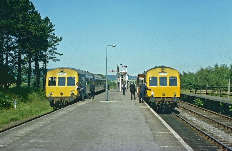
Kildale railway station

Kildale is a railway station on the Esk Valley Line, which runs between Middlesbrough and Whitby via Nunthorpe. The station, situated 12 miles 65 chains...

Battersby

Battersby is a hamlet in North Yorkshire, England. It lies on the edge of the North York Moors National Park and within the historic boundaries of the...

Battersby railway station

Battersby is a railway station on the Esk Valley Line, which runs between Middlesbrough and Whitby via Nunthorpe. The station, situated 11 miles 4 chains...

Ingleby Greenhow

Ingleby Greenhow is a village and civil parish in the Hambleton district of North Yorkshire, England. It is on the border of the North York Moors and 3...

Easby Moor

Easby Moor is a hill located in the civil parish of Little Ayton in the North York Moors national park within the Cleveland Hills, North Yorkshire, England...

Nearby Amenities

Located within 500m of 54.457579,-1.0415917
The data included in this document is from www.openstreetmap.org. The data is made available under ODbL.

Have you been to Baysdale Wood?

Leave your review of Baysdale Wood below (or comments, questions and feedback).