Bartholomew's Bottom Plantation
Wood, Forest in Berkshire
England
Bartholomew's Bottom Plantation

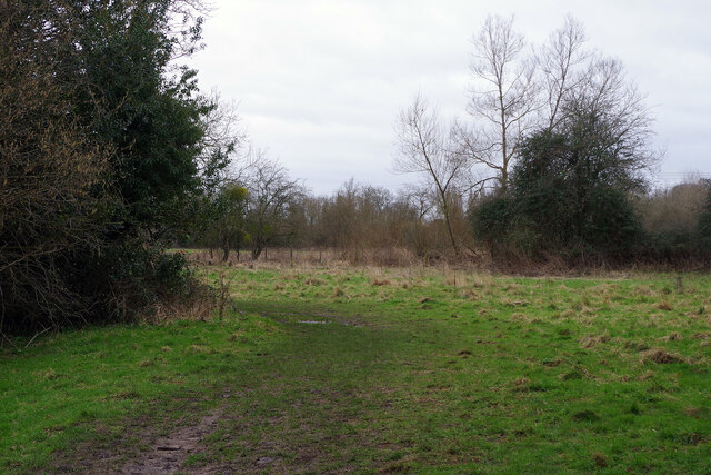
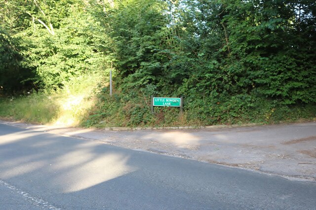
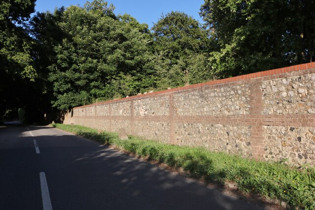
Bartholomew's Bottom Plantation, Berkshire, is a picturesque woodland located in the southern region of England. Nestled in the heart of Berkshire, this vast plantation spans over several acres and is renowned for its lush greenery and diverse flora and fauna.
Covered in a dense canopy, the woodland is predominantly composed of oak, beech, and birch trees, which provide a serene and peaceful environment. The plantation is a popular destination for nature enthusiasts, hikers, and birdwatchers who come to admire the natural beauty and explore the numerous walking trails that meander through the forest.
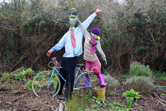
Bartholomew's Bottom Plantation is home to a variety of wildlife, including deer, foxes, badgers, and an array of bird species. The plantation's rich biodiversity makes it a haven for nature lovers and photographers seeking to capture the beauty of the natural world.
The woodland also features a small brook that meanders through the plantation, adding to its charm and attracting small mammals and birds that rely on the water source. Visitors can enjoy the tranquil ambiance and listen to the soothing sounds of the babbling brook while taking in the stunning surroundings.
For those interested in history, Bartholomew's Bottom Plantation holds significance as it is believed to have been named after a local landowner from the 18th century. The plantation has remained relatively untouched over the years, preserving its natural beauty and offering visitors a glimpse into the region's rich history and natural heritage.
Overall, Bartholomew's Bottom Plantation in Berkshire is a captivating destination that offers a perfect blend of natural beauty, wildlife, and historical significance, making it a must-visit for nature enthusiasts and history buffs alike.
If you have any feedback on the listing, please let us know in the comments section below.
Bartholomew's Bottom Plantation Images
Images are sourced within 2km of 51.46989/-1.106961 or Grid Reference SU6274. Thanks to Geograph Open Source API. All images are credited.


Bartholomew's Bottom Plantation is located at Grid Ref: SU6274 (Lat: 51.46989, Lng: -1.106961)
Unitary Authority: West Berkshire
Police Authority: Thames Valley
What 3 Words
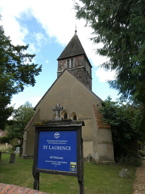
///riverboat.mugs.tutored. Near Pangbourne, Berkshire
Nearby Locations
Related Wikis

Tidmarsh
Tidmarsh is a village in West Berkshire, England. Its development is mainly residential and agricultural, and is centred on the A340 road between Pangbourne...

River Bourne, Berkshire
The River Bourne is a river in the English county of Berkshire. It is a tributary of the River Pang and, indirectly, of the River Thames. The Bourne's...

Moor Copse
Moor Copse is a 65-hectare (160-acre) nature reserve west of Reading in Berkshire. It is managed by the Berkshire, Buckinghamshire and Oxfordshire Wildlife...

Tidmarsh with Sulham
Tidmarsh with Sulham is a combined parish council area in the English county of Berkshire. It covers the civil parishes of Tidmarsh and Sulham, including...
Sulham and Tidmarsh Woods and Meadows
Sulham and Tidmarsh Woods and Meadows is a 75.7-hectare (187-acre) biological Site of Special Scientific Interest west of Reading in Berkshire. Previously...
St Andrew's School, Pangbourne
St Andrew's School is an independent preparatory school in the hamlet of Buckhold, near Pangbourne, Berkshire, England. Together with its 'Pre-Prep – Early...

Pangbourne railway station
Pangbourne railway station serves the village of Pangbourne in the county of Berkshire, and across the River Thames the village of Whitchurch-on-Thames...

Pangbourne
Pangbourne is a village and civil parish on the River Thames in Berkshire, England. Pangbourne has its own shops, schools, a railway station on the Great...
Have you been to Bartholomew's Bottom Plantation?
Leave your review of Bartholomew's Bottom Plantation below (or comments, questions and feedback).