Gilsey Wood

Wood, Forest in Yorkshire Hambleton

England

Gilsey Wood

Ingleby Bank view Looking north from the top of Ingleby Bank.
Ingleby Bank view Credit: T Eyre

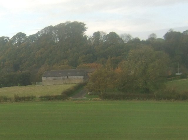
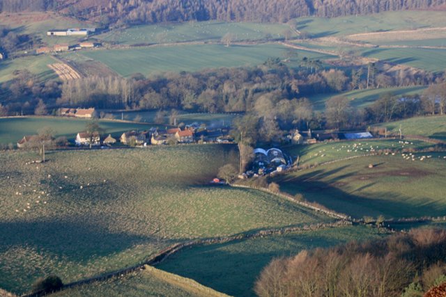
Gilsey Wood is a picturesque woodland located in the county of Yorkshire, England. Situated near the village of Gilsey, this enchanting forest covers an area of approximately 100 hectares, making it a significant natural reserve in the region. The wood is characterized by its dense canopies of towering trees, creating a serene and tranquil atmosphere for visitors to enjoy.

Gilsey Wood is known for its diverse range of tree species, including oak, beech, ash, and birch. This rich variety of trees provides a habitat for a wide array of wildlife, such as birds, squirrels, and small mammals. Nature enthusiasts are often delighted by the opportunity to spot these creatures amidst the lush greenery.

The woodland is crisscrossed by a network of well-maintained walking trails, allowing visitors to explore its beauty at their own pace. These paths wind through the forest, taking visitors on a journey through the changing seasons. In spring, the woodland floor is carpeted with vibrant wildflowers, while autumn brings a riot of colors as the leaves transform into a patchwork of reds, oranges, and golds.

Gilsey Wood is a popular destination for outdoor activities such as walking, hiking, and birdwatching. There are also designated picnic areas where families and friends can enjoy a leisurely lunch surrounded by nature's beauty. The wood is managed by a local conservation organization, ensuring the preservation and protection of its natural ecosystem for future generations to appreciate.

Overall, Gilsey Wood is a captivating woodland retreat, offering visitors an opportunity to reconnect with nature and experience the tranquility of Yorkshire's countryside.

If you have any feedback on the listing, please let us know in the comments section below.
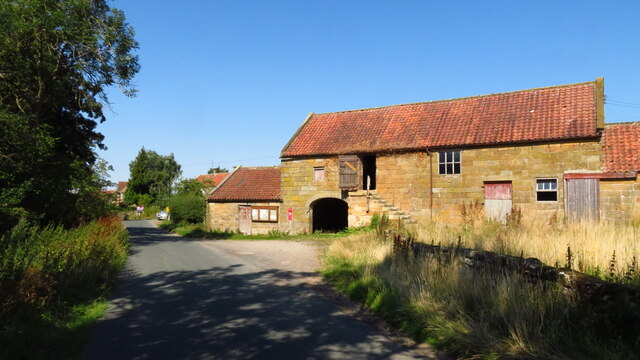
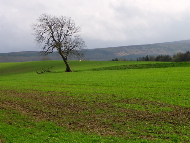
Gilsey Wood Images

Images are sourced within 2km of 54.460673/-1.0625922 or Grid Reference NZ6007. Thanks to Geograph Open Source API. All images are credited.

Ingleby Bank view Looking north from the top of Ingleby Bank.
Ingleby Bank view
Looking north from the top of Ingleby Bank.
Ingleby Bank Looking SW from Ingleby Bank.
Ingleby Bank
Looking SW from Ingleby Bank.
Near Whitley Looking towards Warren Moor.
Near Whitley
Looking towards Warren Moor.
Barn at Holme Farm, Battersby
Field path running SW towards Battersby Station
Old Boundary Marker near Battersby Junction Township Boundary Marker in the hedge where a footpath leaves on the northwest side of the road between Battersby and Battersby Junction. Inscribed BATTERSBY ROAD EAST. On the former boundary of Battersby and Ingleby Greenhow townships but now entirely in Ingleby Greenhow parish.

Milestone Society National ID: YN_INGGRE05pb
Old Boundary Marker near Battersby Junction
Township Boundary Marker in the hedge where a footpath leaves on the northwest side of the road between Battersby and Battersby Junction. Inscribed BATTERSBY ROAD EAST. On the former boundary of Battersby and Ingleby Greenhow townships but now entirely in Ingleby Greenhow parish. Milestone Society National ID: YN_INGGRE05pb
Arable field near Kildale The field is sown with a cereal crop which is growing a little thinly in a few places.
Arable field near Kildale
The field is sown with a cereal crop which is growing a little thinly in a few places.
The road to Kildale goes under the Esk Valley line
Dundale Beck Farm
Dundale Beck Farm
Shelter, Battersby Junction
Farmland, Battersby
Farmland, Battersby
Trees beside Battersby Junction
Pond in Forestry near Bank Foot
Battersby Junction A pot of gold lies in the 'railway' hamlet of Battersby Junction <a href="https://www.geograph.org.uk/gridref/NZ5807">NZ5807</a>.

From Ingleton Bank.
Battersby Junction
A pot of gold lies in the 'railway' hamlet of Battersby Junction NZ5807. From Ingleton Bank.
Plantations below Battersby Crag
Derelict Barn, nr Whitley
Tyer & Co. key-token Machines at Battersby Station Single line sections of the Middlesbrough to Whitby railway are controlled by mechanical tokens. Since the closure of Battersby signal box in 1989, the token machines have been enclosed in a metal cabinet on the station platform and are operated directly by the train crews, rather than by the signalman as of yore.

The system is known as "No-Signalman Token on Single Lines with Remote Crossing Loops" (NSTR) and was developed specifically to reduce manning costs on the more lightly used branch lines. Another line which uses this system is the "Heart of Wales" line between Pantyffynnon and Craven Arms.

The machine on the left provides tokens for the section to Glaisdale and that on the right for the section to Nunthorpe.
Tyer & Co. key-token Machines at Battersby Station
Single line sections of the Middlesbrough to Whitby railway are controlled by mechanical tokens. Since the closure of Battersby signal box in 1989, the token machines have been enclosed in a metal cabinet on the station platform and are operated directly by the train crews, rather than by the signalman as of yore. The system is known as "No-Signalman Token on Single Lines with Remote Crossing Loops" (NSTR) and was developed specifically to reduce manning costs on the more lightly used branch lines. Another line which uses this system is the "Heart of Wales" line between Pantyffynnon and Craven Arms. The machine on the left provides tokens for the section to Glaisdale and that on the right for the section to Nunthorpe.
Busy times at Battersby Station The summer Sundays timetable provides additional trains on the Middlesbrough to Whitby line resulting in the need for them to 'pass' at Battersby. The 'passing' at the dead-end, single-line, station is accomplished by a last-in first-out arrangement. In this view, a Middlesbrough bound train is nearest the camera, the other being for Whitby.

The token machines which control the single lines in this area are housed in the blue cabinet which can be seen just past the timetable notice board on the left of the view. See also <a href="https://www.geograph.org.uk/photo/3508014">NZ5807 : Tyer & Co. key-token Machines at Battersby Station</a>.
Busy times at Battersby Station
The summer Sundays timetable provides additional trains on the Middlesbrough to Whitby line resulting in the need for them to 'pass' at Battersby. The 'passing' at the dead-end, single-line, station is accomplished by a last-in first-out arrangement. In this view, a Middlesbrough bound train is nearest the camera, the other being for Whitby. The token machines which control the single lines in this area are housed in the blue cabinet which can be seen just past the timetable notice board on the left of the view. See also NZ5807 : Tyer & Co. key-token Machines at Battersby Station.
Show me another place!

Gilsey Wood is located at Grid Ref: NZ6007 (Lat: 54.460673, Lng: -1.0625922)

Division: North Riding

Administrative County: North Yorkshire

District: Hambleton

Police Authority: North Yorkshire

What 3 Words

///toward.clutches.gratitude. Near Ingleby Greenhow, North Yorkshire

Related Wikis

Basedale Priory

Basedale Priory or Baysdale Priory was a priory in North Yorkshire, England located 8 miles (13 km) East from the parish church of Stokesley. It was a...

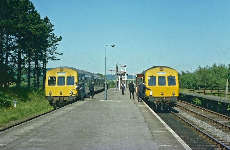
Kildale railway station

Kildale is a railway station on the Esk Valley Line, which runs between Middlesbrough and Whitby via Nunthorpe. The station, situated 12 miles 65 chains...

Warren Moor Mine

The Warren Moor Mine, was a short-lived mining concern south of Kildale, North Yorkshire, England. Activity at the site was limited to drift mining, and...

Battersby railway station

Battersby is a railway station on the Esk Valley Line, which runs between Middlesbrough and Whitby via Nunthorpe. The station, situated 11 miles 4 chains...

Battersby

Battersby is a hamlet in North Yorkshire, England. It lies on the edge of the North York Moors National Park and within the historic boundaries of the...

Kildale

Kildale is a village and civil parish in Hambleton district of North Yorkshire, England. It lies approximately 3 miles (4.8 km) south-east from Great Ayton...

Ingleby railway station

Ingleby railway station was a railway station built to serve the village of Ingleby Greenhow in North Yorkshire, England. The station was on the North...

Ingleby Greenhow

Ingleby Greenhow is a village and civil parish in the Hambleton district of North Yorkshire, England. It is on the border of the North York Moors and 3...

Have you been to Gilsey Wood?

Leave your review of Gilsey Wood below (or comments, questions and feedback).