Black Hill Clump

Wood, Forest in Nottinghamshire Bassetlaw

England

Black Hill Clump

B6045 Blyth Road at Blyth Grove
B6045 Blyth Road at Blyth Grove Credit: Colin Pyle

Black Hill Clump is a prominent woodland area located in Nottinghamshire, England. Situated near the village of Wood, it forms part of the larger Sherwood Forest. Covering an area of approximately 10 hectares, this ancient woodland is known for its rich biodiversity and historical significance.

The forest is predominantly composed of oak and beech trees, creating a dense canopy that provides a habitat for a variety of wildlife. The undergrowth is characterized by ferns, bluebells, and other native flora. The woodland is home to numerous bird species, including woodpeckers and tawny owls, as well as mammals such as deer, foxes, and badgers.

Black Hill Clump holds great historical importance, being part of the legendary Sherwood Forest, which was once a royal hunting ground. Its association with the legendary outlaw Robin Hood adds to its allure, attracting visitors from far and wide. The forest is steeped in folklore and tales of Robin Hood's exploits are woven into the fabric of the area.

Visitors to Black Hill Clump can enjoy walking and hiking trails that meander through the woodland, providing opportunities for exploration and tranquility. The forest offers a peaceful escape from the hustle and bustle of everyday life, with its serene atmosphere and natural beauty.

Overall, Black Hill Clump is a captivating woodland area that offers a glimpse into Nottinghamshire's natural heritage and historical past. Its diverse ecosystem and cultural significance make it a cherished destination for nature enthusiasts and history buffs alike.

If you have any feedback on the listing, please let us know in the comments section below.

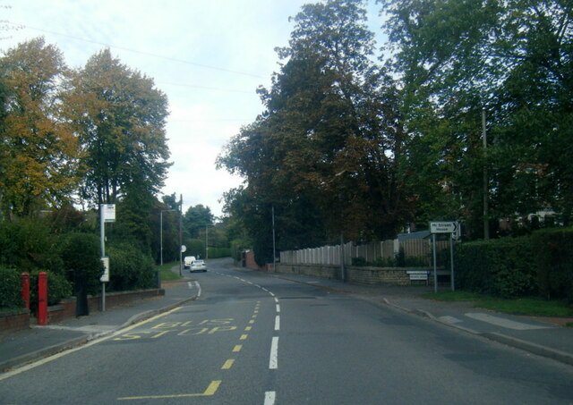
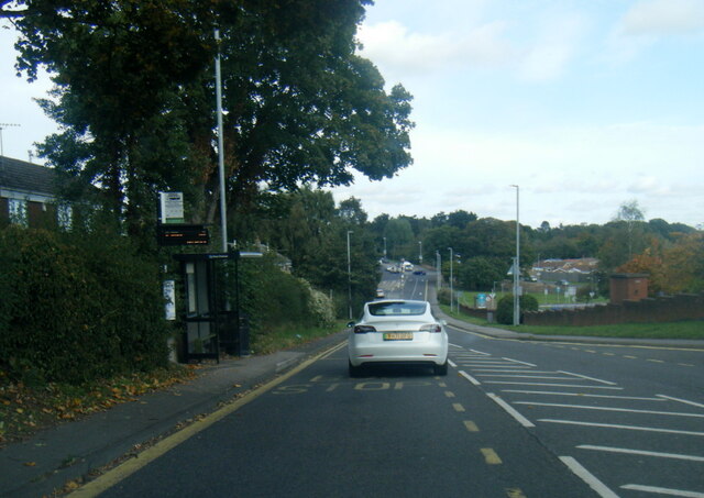
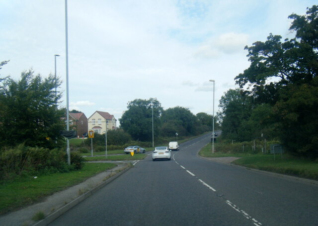
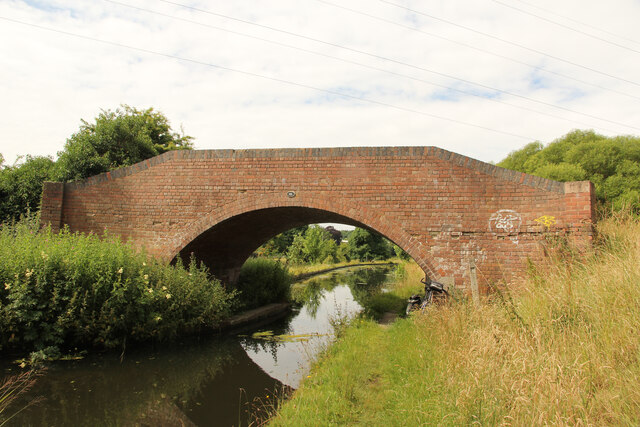
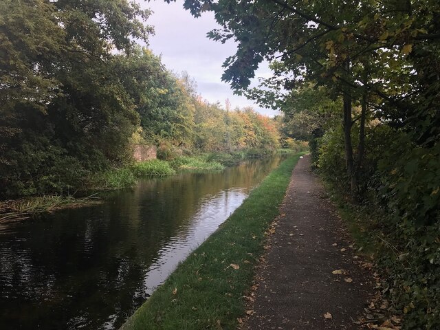
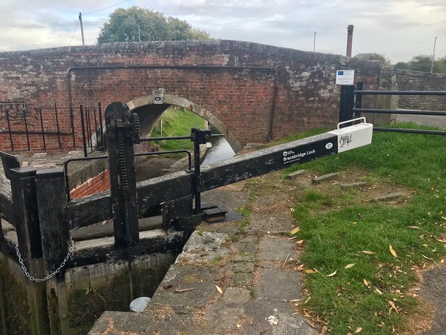
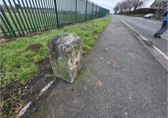
Black Hill Clump Images

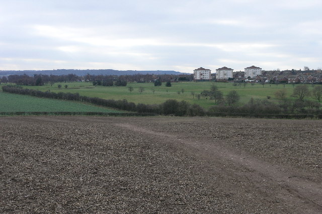
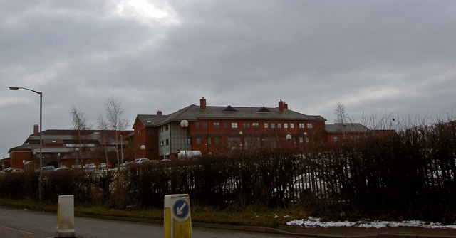
Images are sourced within 2km of 53.312746/-1.0879686 or Grid Reference SK6079. Thanks to Geograph Open Source API. All images are credited.

B6045 Blyth Road at Blyth Grove
B6045 Blyth Road at Bassetlaw Hospital
B6045 Blyth Road at Thievesdale Field
Football pitch near Kilton Forest Farm Trig Point
Mr Straw's House At first sight 7 Blyth Grove in Worksop is an unremarkable middle class house of the Edwardian period. What makes it special, however, is that has remained largely unchanged since 1932 when William Straw died. After the death of his wife in 1939 their two sons, William Jr and Walter, lived here for the next 40 years with very few concessions to the modern world. After Walter's death William continued to live here until 1990 when he left the house and its contents to the National Trust. The Trust opened it to the public shortly afterwards, representing a change in direction for them as this was the first small domestic house in their portfolio. The house is seen here in 1994.
Mr Straw's House
At first sight 7 Blyth Grove in Worksop is an unremarkable middle class house of the Edwardian period. What makes it special, however, is that has remained largely unchanged since 1932 when William Straw died. After the death of his wife in 1939 their two sons, William Jr and Walter, lived here for the next 40 years with very few concessions to the modern world. After Walter's death William continued to live here until 1990 when he left the house and its contents to the National Trust. The Trust opened it to the public shortly afterwards, representing a change in direction for them as this was the first small domestic house in their portfolio. The house is seen here in 1994.
Scofton - Church of St John the Baptist
Kilton Forest Farm Trig Point Flush Bracket S4867
Forest Rise, Manton A small housing development on the southern fringe of Worksop
Forest Rise, Manton
A small housing development on the southern fringe of Worksop
In Manton Wood Enterprise Park
Manton Viaduct Railway bridge 45a over the Chesterfield Canal
Manton Viaduct
Railway bridge 45a over the Chesterfield Canal
Bridge 45 Bridge number 45 over the Chesterfield Canal
Bridge 45
Bridge number 45 over the Chesterfield Canal
A pit head sculpture Near the site of the former Manton colliery.
A pit head sculpture
Near the site of the former Manton colliery.
Back gardens Dukeries Crescent Manton estate,
Back gardens
Dukeries Crescent Manton estate,
Chesterfield Canal and towpath Listed buildings and structures are officially designated as being of special architectural, historical or cultural significance. There are over half a million listed structures in the United Kingdom, covered by around 375,000 listings.
Listed status is more commonly associated with buildings or groups of buildings, however it can cover many other structures, including bridges, headstones, steps, ponds, monuments, walls, phone boxes, wrecks, parks, and heritage sites, and in more recent times a road crossing (Abbey Road) and graffiti art (Banksy 'Spy-booth') have been included.

In England and Wales there are three main listing designations;
Grade I (2.5%) - exceptional interest, sometimes considered to be internationally important.
Grade II* (5.5%) - particularly important buildings of more than special interest. 
Grade II (92%) - nationally important and of special interest. 

There are also locally listed structures (at the discretion of local authorities) using A, B and C designations.

In Scotland three classifications are also used but the criteria are different. There are around 47,500 Listed buildings.
Category A (8%)- generally equivalent to Grade I and II* in England and Wales
Category B (51%)- this appears generally to cover the ground of Grade II, recognising national importance.
Category C (41%)- buildings of local importance, probably with some overlap with English Grade II.

In Northern Ireland the criteria are similar to Scotland, but the classifications are:
Grade A (2.3%)
Grade B+ (4.7%)
Grade B (93%)

Read more at Wikipedia <span class="nowrap"><a title="http://en.wikipedia.org/wiki/Listed_building" rel="nofollow ugc noopener" href="http://en.wikipedia.org/wiki/Listed_building">Link</a><img style="margin-left:2px;" alt="External link" title="External link - shift click to open in new window" src="https://s1.geograph.org.uk/img/external.png" width="10" height="10"/></span>
Chesterfield Canal and towpath
Listed buildings and structures are officially designated as being of special architectural, historical or cultural significance. There are over half a million listed structures in the United Kingdom, covered by around 375,000 listings. Listed status is more commonly associated with buildings or groups of buildings, however it can cover many other structures, including bridges, headstones, steps, ponds, monuments, walls, phone boxes, wrecks, parks, and heritage sites, and in more recent times a road crossing (Abbey Road) and graffiti art (Banksy 'Spy-booth') have been included. In England and Wales there are three main listing designations; Grade I (2.5%) - exceptional interest, sometimes considered to be internationally important. Grade II* (5.5%) - particularly important buildings of more than special interest. Grade II (92%) - nationally important and of special interest. There are also locally listed structures (at the discretion of local authorities) using A, B and C designations. In Scotland three classifications are also used but the criteria are different. There are around 47,500 Listed buildings. Category A (8%)- generally equivalent to Grade I and II* in England and Wales Category B (51%)- this appears generally to cover the ground of Grade II, recognising national importance. Category C (41%)- buildings of local importance, probably with some overlap with English Grade II. In Northern Ireland the criteria are similar to Scotland, but the classifications are: Grade A (2.3%) Grade B+ (4.7%) Grade B (93%) Read more at Wikipedia LinkExternal link
Bracebridge lock
Bracebridge lock
Old Milestone by the B6040, Retford Road, Worksop Stone post (plate lost) by the B6040, in parish of Worksop (Bassetlaw District), Retford Road; by Manton Colliery Club, in pavement, in front of wire fence surrounding Manton Colliery Club Sports Ground, on North side of road. Retford iron plate, erected by the Worksop to Retford turnpike trust in the 19th century. 

Inscription once read:-
(RETFORD)
(7)
(WORKSOP)
(1) 
Carved benchmark on left side.

Milestone Society National ID: NT_RFWK07
Old Milestone by the B6040, Retford Road, Worksop
Stone post (plate lost) by the B6040, in parish of Worksop (Bassetlaw District), Retford Road; by Manton Colliery Club, in pavement, in front of wire fence surrounding Manton Colliery Club Sports Ground, on North side of road. Retford iron plate, erected by the Worksop to Retford turnpike trust in the 19th century. Inscription once read:- (RETFORD) (7) (WORKSOP) (1) Carved benchmark on left side. Milestone Society National ID: NT_RFWK07
Kilton Forest Golf Course With a well trodden footpath in the foreground Kilton Forest Golf Course can be seen sandwiched between the town and the countryside. The trees on the horizon are the Manor Hills.
Kilton Forest Golf Course
With a well trodden footpath in the foreground Kilton Forest Golf Course can be seen sandwiched between the town and the countryside. The trees on the horizon are the Manor Hills.
Rayton Angle Rayton Angle (Wood) formerly connected into Scofton Wood but due to conversion to agriculture they are now only linked by a few trees.
Rayton Angle
Rayton Angle (Wood) formerly connected into Scofton Wood but due to conversion to agriculture they are now only linked by a few trees.
Show me another place!

Black Hill Clump is located at Grid Ref: SK6079 (Lat: 53.312746, Lng: -1.0879686)

Administrative County: Nottinghamshire

District: Bassetlaw

Police Authority: Nottinghamshire

What 3 Words

///bolt.puts.plank. Near Worksop, Nottinghamshire

Nearby Locations

Black Hill Clump

Related Wikis

Kilton, Nottinghamshire

Kilton is a large suburban area in the northeast of the market town of Worksop in the ceremonial county of Nottinghamshire in the East Midlands of England...

Bassetlaw District General Hospital

Bassetlaw District General Hospital is a National Health Service hospital in Worksop, Nottinghamshire. It is managed by the Doncaster and Bassetlaw Teaching...

Bracebridge, Nottinghamshire

Bracebridge is an undefined area of Worksop in Nottinghamshire, lying between Manton to the south, and Kilton to the north, lying on the Chesterfield Canal...
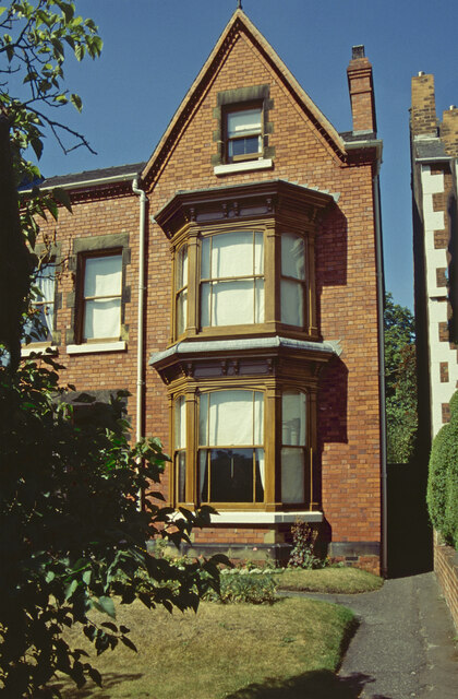
Mr Straw's House

Mr Straw's House is a National Trust property in Worksop, Nottinghamshire, United Kingdom. The Edwardian semi-detached house and its contents have remained...

Have you been to Black Hill Clump?

Leave your review of Black Hill Clump below (or comments, questions and feedback).