Alder's Wood
Wood, Forest in Yorkshire Hambleton
England
Alder's Wood

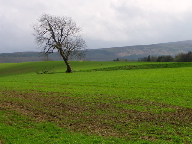
Alder's Wood is a picturesque forest located in the heart of Yorkshire, England. Covering an area of approximately 500 acres, this ancient woodland is a haven for nature enthusiasts and outdoor adventurers alike. The wood is named after the numerous Alder trees that dominate the landscape, creating a lush and vibrant canopy.
The forest is home to a diverse range of flora and fauna, with over 100 different species of trees and countless varieties of wildflowers. Visitors can expect to encounter oak, beech, and birch trees, among others, as they explore the winding paths and trails that meander through the wood. The forest floor is carpeted with ferns, mosses, and bluebells during the spring, creating a stunning visual display.
Alder's Wood is not only a paradise for plant life but also a sanctuary for various wildlife species. Birdwatchers will delight in the chance to spot woodpeckers, owls, and various species of songbirds. Squirrels, rabbits, and even the occasional deer can also be spotted, adding to the enchantment of the woodland.
The forest is a popular destination for hikers and nature lovers seeking solitude and tranquility. The well-maintained network of trails caters to all skill levels, allowing visitors to choose between leisurely strolls or more challenging hikes. Picnic spots and benches are conveniently scattered throughout the wood, providing the perfect setting for a peaceful lunch amidst the natural beauty.
Alder's Wood, with its rich biodiversity and serene atmosphere, truly offers a refreshing escape from the hustle and bustle of everyday life. Whether you are a nature enthusiast, a photographer, or simply seeking solace in nature, this enchanting woodland is a must-visit destination in Yorkshire.
If you have any feedback on the listing, please let us know in the comments section below.
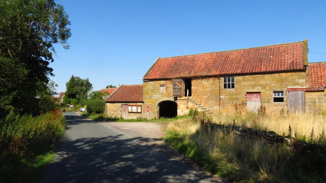
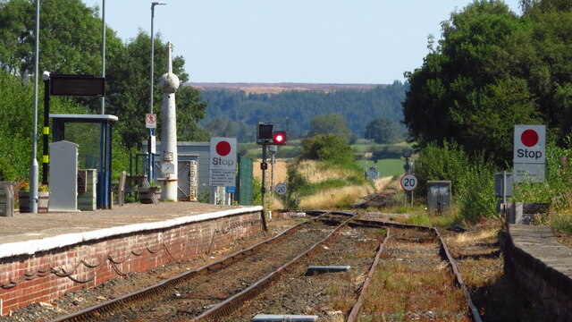
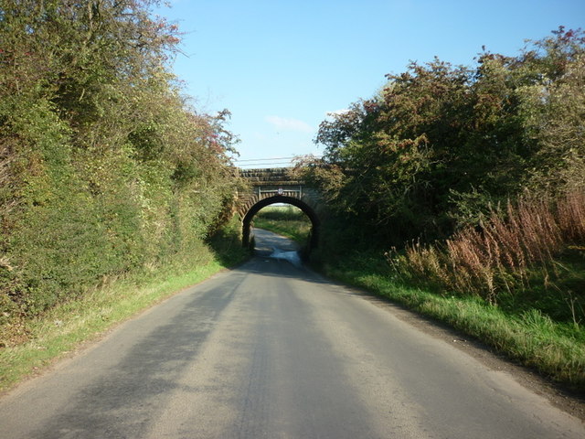
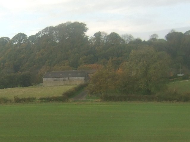
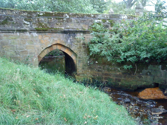
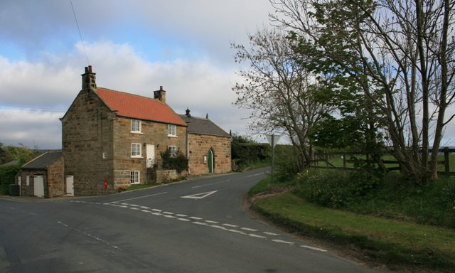
Alder's Wood Images
Images are sourced within 2km of 54.463633/-1.06885 or Grid Reference NZ6007. Thanks to Geograph Open Source API. All images are credited.


Alder's Wood is located at Grid Ref: NZ6007 (Lat: 54.463633, Lng: -1.06885)
Division: North Riding
Administrative County: North Yorkshire
District: Hambleton
Police Authority: North Yorkshire
What 3 Words
///restless.spearhead.dumpling. Near Ingleby Greenhow, North Yorkshire
Nearby Locations
Related Wikis

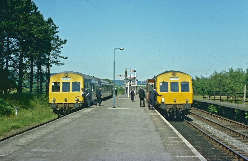
Kildale railway station
Kildale is a railway station on the Esk Valley Line, which runs between Middlesbrough and Whitby via Nunthorpe. The station, situated 12 miles 65 chains...
Battersby railway station
Battersby is a railway station on the Esk Valley Line, which runs between Middlesbrough and Whitby via Nunthorpe. The station, situated 11 miles 4 chains...

Battersby
Battersby is a hamlet in North Yorkshire, England. It lies on the edge of the North York Moors National Park and within the historic boundaries of the...
Basedale Priory
Basedale Priory or Baysdale Priory was a priory in North Yorkshire, England located 8 miles (13 km) East from the parish church of Stokesley. It was a...

Warren Moor Mine
The Warren Moor Mine, was a short-lived mining concern south of Kildale, North Yorkshire, England. Activity at the site was limited to drift mining, and...

Easby Moor
Easby Moor is a hill located in the civil parish of Little Ayton in the North York Moors national park within the Cleveland Hills, North Yorkshire, England...

Ingleby railway station
Ingleby railway station was a railway station built to serve the village of Ingleby Greenhow in North Yorkshire, England. The station was on the North...
Easby, Hambleton
Easby is a village and civil parish in Hambleton District of North Yorkshire, England. It lies approximately 2 miles (3.2 km) south-east of Great Ayton...
Nearby Amenities
Located within 500m of 54.463633,-1.06885Have you been to Alder's Wood?
Leave your review of Alder's Wood below (or comments, questions and feedback).