Ashculme

Settlement in Devon Mid Devon

England

Ashculme

Hemyock : Whitehall Lane Looking along a flooded road.
Hemyock : Whitehall Lane Credit: Lewis Clarke

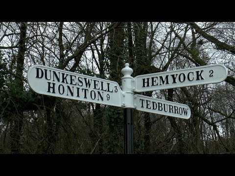
Ashculme is a small village located in the county of Devon, England. Situated on the eastern edge of the Blackdown Hills, an Area of Outstanding Natural Beauty, it offers picturesque countryside surroundings and a tranquil atmosphere. The village is part of the Mid Devon district and falls within the Culm Valley ward.

With a population of around 200 residents, Ashculme is known for its close-knit community and friendly atmosphere. The village is predominantly residential, with a mix of traditional stone cottages and more modern housing. The stunning views of rolling hills and verdant fields make it an ideal location for those seeking a peaceful and rural lifestyle.

Despite its small size, Ashculme offers a range of amenities and services to its residents. These include a village hall, where various community events and gatherings take place, a local pub that serves as a social hub, and a primary school that caters to the educational needs of local children.

The surrounding area offers ample opportunities for outdoor activities, such as walking, hiking, and cycling. The nearby Blackdown Hills provide numerous trails and paths through woodlands and open fields, allowing residents to explore the natural beauty of the region.

Although Ashculme may not be a bustling metropolis, its idyllic setting, strong community spirit, and access to stunning landscapes make it a desirable place to live for those seeking a peaceful countryside retreat in the heart of Devon.

If you have any feedback on the listing, please let us know in the comments section below.
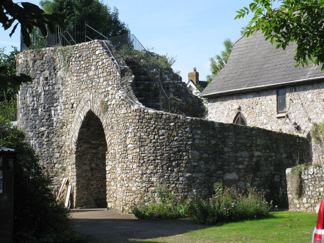
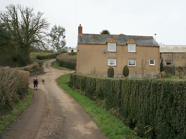
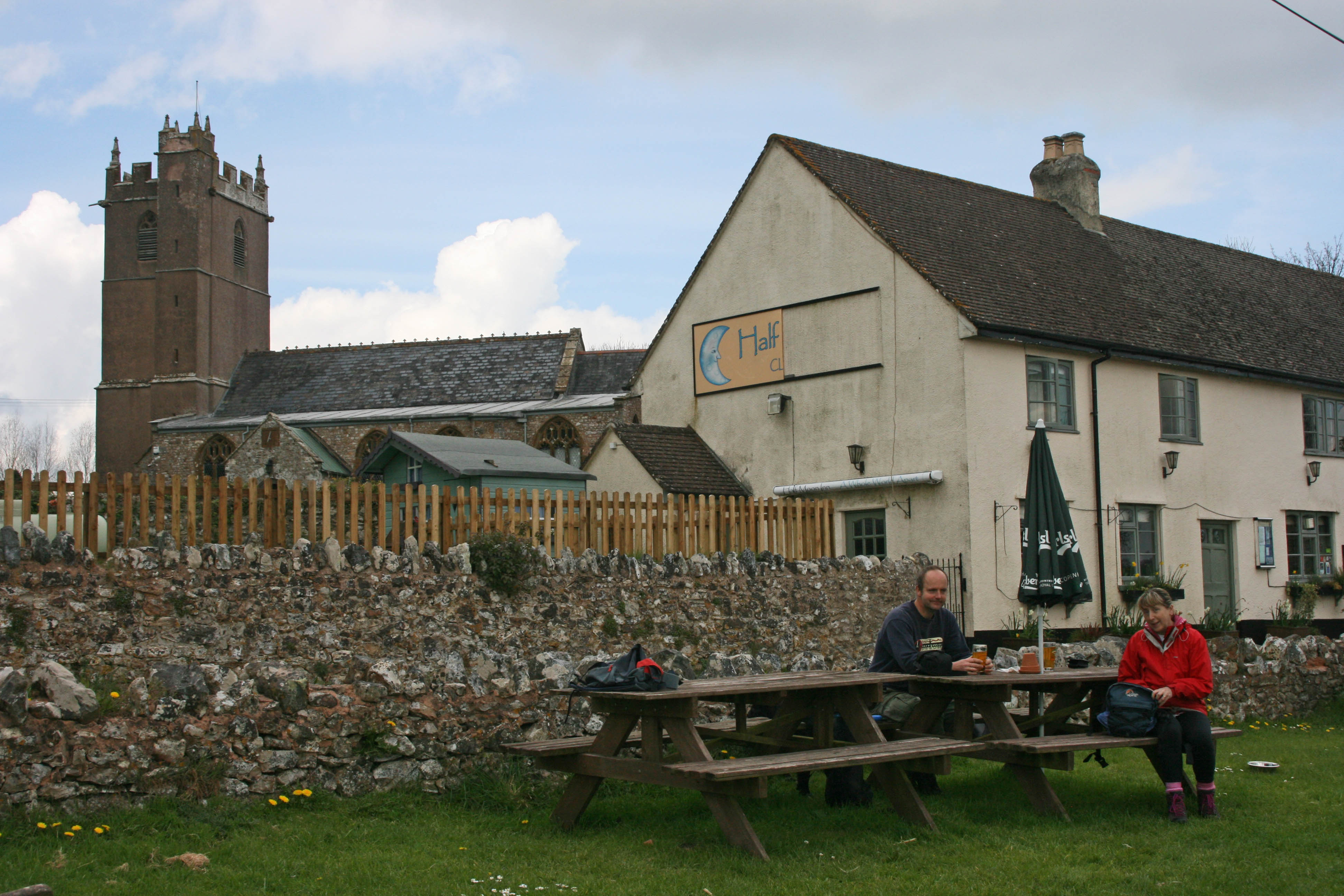
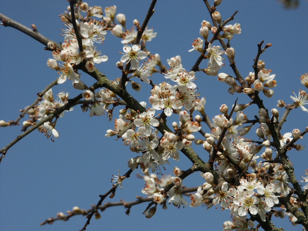
Ashculme Images

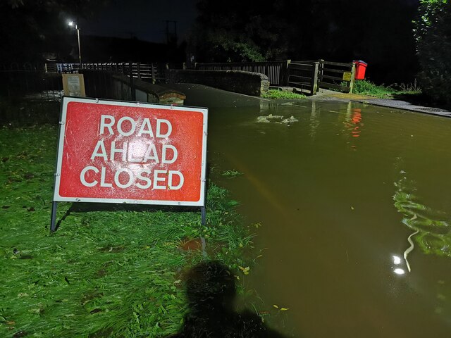
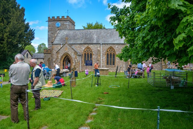
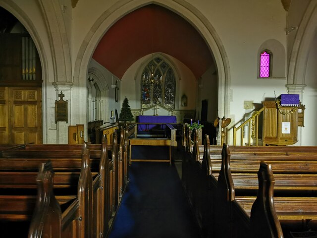
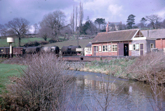
Images are sourced within 2km of 50.919028/-3.2248283 or Grid Reference ST1414. Thanks to Geograph Open Source API. All images are credited.

Hemyock : Whitehall Lane Looking along a flooded road.
Hemyock : Whitehall Lane
Looking along a flooded road.
Hemyock : Station Road The road is closed due to the River Culm flooding.
Hemyock : Station Road
The road is closed due to the River Culm flooding.
Hemyock : Station Road A flooded station road in Hemyock.
Hemyock : Station Road
A flooded station road in Hemyock.
Hemyock : Station Road Thankfully there is a raised footpath alongside the road.
Hemyock : Station Road
Thankfully there is a raised footpath alongside the road.
Hemyock : Station Road Station Road is flooded due to a recent storm and being nearby the River Culm.
Hemyock : Station Road
Station Road is flooded due to a recent storm and being nearby the River Culm.
Hemyock : St Mary's Church Hemyock Parish Church occupies a central position in the village, alongside Hemyock Castle.
Hemyock : St Mary's Church
Hemyock Parish Church occupies a central position in the village, alongside Hemyock Castle.
Hemyock : St Mary's Church The first written record dates from the year 1268, but it is obvious that parts of the building are much older. Remains of Norman arches may be seen in the interior walls of the tower and it would appear that the first church on the site was cruciform in shape with the tower at the centre. Originally the church had a spire on top of the tower, but it was removed in the late 1600’s and may be the reason why the present tower is not very high.

The church has had its dedication changed several times. In the 1400’s it was St Mary’s, after the reformation St. George was the patron saint, by the mid 1700’s it was St. Peter’s and it reverted to St. Mary’s in the 1760’s
Hemyock : St Mary's Church
The first written record dates from the year 1268, but it is obvious that parts of the building are much older. Remains of Norman arches may be seen in the interior walls of the tower and it would appear that the first church on the site was cruciform in shape with the tower at the centre. Originally the church had a spire on top of the tower, but it was removed in the late 1600’s and may be the reason why the present tower is not very high. The church has had its dedication changed several times. In the 1400’s it was St Mary’s, after the reformation St. George was the patron saint, by the mid 1700’s it was St. Peter’s and it reverted to St. Mary’s in the 1760’s
Hemyock : War Memorial The war memorial with St Mary's behind it.
Hemyock : War Memorial
The war memorial with St Mary's behind it.
Hemyock : Station Road Looking along Station Road which is flooded.
Hemyock : Station Road
Looking along Station Road which is flooded.
Hemyock : Station Road A marker along the road shows how high the water from the River Culm is.
Hemyock : Station Road
A marker along the road shows how high the water from the River Culm is.
Hemyock : St Mary's Church Cow lanterns in the churchyard.
Hemyock : St Mary's Church
Cow lanterns in the churchyard.
Hemyock : Mill Leat Mill Leat odd Lower Millhayes.
Hemyock : Mill Leat
Mill Leat odd Lower Millhayes.
On Station Road, looking north
Hemyock : St Mary's Church A fete takes place in the church grounds.
Hemyock : St Mary's Church
A fete takes place in the church grounds.
Hemyock : St Mary's Church A lantern parade makes its way to the church.
Hemyock : St Mary's Church
A lantern parade makes its way to the church.
Hemyock : St Mary's Church Looking towards lanterns at St Mary's Church.
Hemyock : St Mary's Church
Looking towards lanterns at St Mary's Church.
Hemyock : St Mary's Church St Mary's Church with a lantern weather vane outside.
Hemyock : St Mary's Church
St Mary's Church with a lantern weather vane outside.
Hemyock : St Mary's Church St Mary's parish church is next to Hemyock Castle, on the other side of St Margaret's Brook.
Hemyock : St Mary's Church
St Mary's parish church is next to Hemyock Castle, on the other side of St Margaret's Brook.
Show me another place!

Ashculme is located at Grid Ref: ST1414 (Lat: 50.919028, Lng: -3.2248283)

Administrative County: Devon

District: Mid Devon

Police Authority: Devon and Cornwall

What 3 Words

///toads.jumbo.engaging. Near Hemyock, Devon

Nearby Locations

Ashculme

Related Wikis

Related Videos

The Amazing Film of Hemyock village PART 1

This interesting film is about a village in Devon, England in 2010 - 2017. It is about how we live, work, play, farm, celebrate, learn, ...

Rites of Passage for Teenagers

Life is full of major milestones, from birth to death, and everything in between. That's where Rites of Passage come in!

Exploring - Merry Harriers Pub

Today we head to The Merry Harriers Pub . Closing suspiciously in 2016 with no notice. One month later the pub was ablaze with ...

Hemyock 20181003 123024

The Catherine Wheel Pub, Hemyock.

Nearby Amenities

Located within 500m of 50.919028,-3.2248283
Parking
Lat/Long: 50.9184266/-3.2241338
Generator Method: photovoltaic
Generator Output Electricity: yes
Generator Source: solar
Generator Type: solar_photovoltaic_panel
Location: roof
Power: generator
Lat/Long: 50.9188093/-3.223771
Generator Method: photovoltaic
Generator Output Electricity: yes
Generator Source: solar
Generator Type: solar_photovoltaic_panel
Location: roof
Power: generator
Lat/Long: 50.9187941/-3.2236905
Generator Method: photovoltaic
Generator Output Electricity: yes
Generator Source: solar
Generator Type: solar_photovoltaic_panel
Location: roof
Power: generator
Lat/Long: 50.9161051/-3.2270205
Generator Method: photovoltaic
Generator Output Electricity: yes
Generator Source: solar
Generator Type: solar_photovoltaic_panel
Location: roof
Power: generator
Lat/Long: 50.9160916/-3.2265296
Generator Method: photovoltaic
Generator Output Electricity: yes
Generator Source: solar
Generator Type: solar_photovoltaic_panel
Location: roof
Power: generator
Lat/Long: 50.9155462/-3.2266785
Generator Method: photovoltaic
Generator Output Electricity: yes
Generator Source: solar
Generator Type: solar_photovoltaic_panel
Location: roof
Power: generator
Lat/Long: 50.915564/-3.226991
Generator Method: photovoltaic
Generator Output Electricity: yes
Generator Source: solar
Generator Type: solar_photovoltaic_panel
Location: roof
Power: generator
Lat/Long: 50.9158193/-3.2271385
Generator Method: photovoltaic
Generator Output Electricity: yes
Generator Source: solar
Generator Type: solar_photovoltaic_panel
Location: roof
Power: generator
Lat/Long: 50.915219/-3.2266798
Generator Method: photovoltaic
Generator Output Electricity: yes
Generator Source: solar
Generator Type: solar_photovoltaic_panel
Location: roof
Power: generator
Lat/Long: 50.9150761/-3.2255077
Generator Method: photovoltaic
Generator Output Electricity: yes
Generator Source: solar
Generator Type: solar_photovoltaic_panel
Location: roof
Power: generator
Lat/Long: 50.9147218/-3.2253307
Generator Method: photovoltaic
Generator Output Electricity: yes
Generator Source: solar
Generator Type: solar_photovoltaic_panel
Location: roof
Power: generator
Lat/Long: 50.9146897/-3.2248546
Generator Method: photovoltaic
Generator Output Electricity: yes
Generator Source: solar
Generator Type: solar_photovoltaic_panel
Location: roof
Power: generator
Lat/Long: 50.9147489/-3.2249511
Generator Method: photovoltaic
Generator Output Electricity: yes
Generator Source: solar
Generator Type: solar_photovoltaic_panel
Location: roof
Power: generator
Lat/Long: 50.9154696/-3.2259556
Generator Method: photovoltaic
Generator Output Electricity: yes
Generator Source: solar
Generator Type: solar_photovoltaic_panel
Location: roof
Power: generator
Lat/Long: 50.9154324/-3.225446
Generator Method: photovoltaic
Generator Output Electricity: yes
Generator Source: solar
Generator Type: solar_photovoltaic_panel
Location: roof
Power: generator
Lat/Long: 50.9163016/-3.2253563
Generator Method: photovoltaic
Generator Output Electricity: yes
Generator Source: solar
Generator Type: solar_photovoltaic_panel
Location: roof
Power: generator
Lat/Long: 50.9158095/-3.2265915
Generator Method: photovoltaic
Generator Output Electricity: yes
Generator Source: solar
Generator Type: solar_photovoltaic_panel
Location: roof
Power: generator
Lat/Long: 50.9150713/-3.2252222
Generator Method: photovoltaic
Generator Output Electricity: yes
Generator Source: solar
Generator Type: solar_photovoltaic_panel
Location: roof
Power: generator
Lat/Long: 50.914635/-3.2260698
Generator Method: photovoltaic
Generator Output Electricity: yes
Generator Source: solar
Generator Type: solar_photovoltaic_panel
Location: roof
Power: generator
Lat/Long: 50.9146519/-3.2260135
Generator Method: photovoltaic
Generator Output Electricity: yes
Generator Source: solar
Generator Type: solar_photovoltaic_panel
Location: roof
Power: generator
Lat/Long: 50.9159109/-3.2297109
Generator Method: photovoltaic
Generator Output Electricity: yes
Generator Source: solar
Generator Type: solar_photovoltaic_panel
Location: roof
Power: generator
Lat/Long: 50.9161629/-3.2298598
Generator Method: photovoltaic
Generator Output Electricity: yes
Generator Source: solar
Generator Type: solar_photovoltaic_panel
Location: roof
Power: generator
Lat/Long: 50.9147466/-3.2250519
Power: pole
Source: bing
Lat/Long: 50.9193334/-3.231909
Power: pole
Source: bing
Lat/Long: 50.9189598/-3.2318258
Power: pole
Source: bing
Lat/Long: 50.9185565/-3.2308079
Power: pole
Source: bing
Lat/Long: 50.9180915/-3.2296358
Poles: bipole
Power: pole
Source: bing
Transformer: distribution
Lat/Long: 50.9181912/-3.2273237
Power: pole
Source: bing
Lat/Long: 50.9180864/-3.2274002
Power: pole
Source: bing
Lat/Long: 50.9177583/-3.2283926
Power: pole
Source: bing
Lat/Long: 50.9175757/-3.2277489
Power: pole
Source: bing
Lat/Long: 50.9168689/-3.225693
Power: pole
Source: bing
Lat/Long: 50.9176019/-3.2268168
Power: pole
Source: bing
Lat/Long: 50.9175892/-3.2271695
Power: pole
Source: bing
Lat/Long: 50.9176467/-3.225524
Power: pole
Source: bing
Lat/Long: 50.9177017/-3.2239254
Power: pole
Source: bing
Lat/Long: 50.9177211/-3.223051
Power: pole
Source: bing
Lat/Long: 50.9182597/-3.2219017
Power: pole
Source: bing
Lat/Long: 50.9187036/-3.2209347
Power: pole
Source: bing
Lat/Long: 50.9195744/-3.221443
Power: pole
Source: bing
Lat/Long: 50.9196387/-3.2237658
Power: pole
Source: bing
Lat/Long: 50.919615/-3.2226312
Power: pole
Source: bing
Lat/Long: 50.9189674/-3.2203647
Power: pole
Source: bing
Lat/Long: 50.9186275/-3.2197693
Power: pole
Source: bing
Lat/Long: 50.918176/-3.2189727
Power: pole
Source: bing
Lat/Long: 50.9177905/-3.2182485
Power: pole
Source: bing
Transformer: distribution
Lat/Long: 50.91973/-3.2184751
Power: pole
Source: bing
Lat/Long: 50.9190156/-3.2202628
Power: pole
Source: bing
Lat/Long: 50.9193411/-3.2194515
Poles: bipole
Power: pole
Source: bing
Transformer: distribution
Lat/Long: 50.9196733/-3.2251257
Power: pole
Source: bing
Transformer: distribution
Lat/Long: 50.9191136/-3.2271521
Power: pole
Source: bing
Lat/Long: 50.9192134/-3.228229
Power: pole
Source: bing
Lat/Long: 50.9193098/-3.229377
Power: pole
Source: bing
Lat/Long: 50.919336/-3.2310292
Post Box
Mapillary: 250086658022493
Post Box Mounting: brick_pillar
Post Box Type: wall
Lat/Long: 50.9191548/-3.2256079
The data included in this document is from www.openstreetmap.org. The data is made available under ODbL.

Have you been to Ashculme?

Leave your review of Ashculme below (or comments, questions and feedback).