Ashdon

Settlement in Essex Uttlesford

England

Ashdon

Five miles to Haverhill In a south-eastern wedge of Cambridgeshire, on the edges of Essex and Suffolk,
Five miles to Haverhill Credit: John Sutton

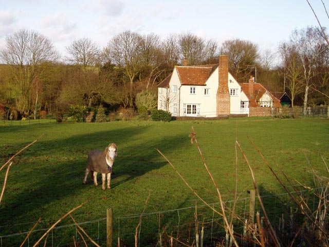
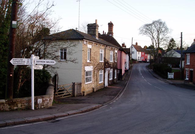
Ashdon is a small village located in the Uttlesford district of Essex, England. Situated approximately 15 miles southeast of Cambridge and 6 miles northwest of Saffron Walden, it is surrounded by picturesque countryside and offers a peaceful rural setting. The village is characterized by its charming thatched cottages, historic buildings, and a sense of traditional English village life.

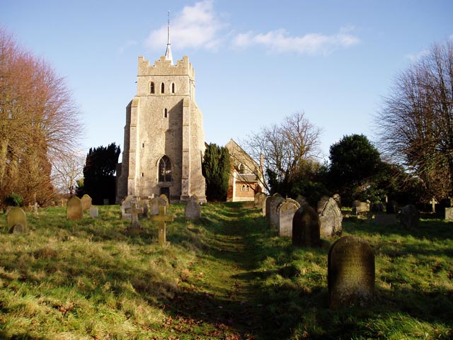
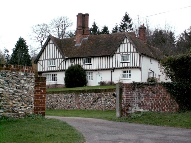
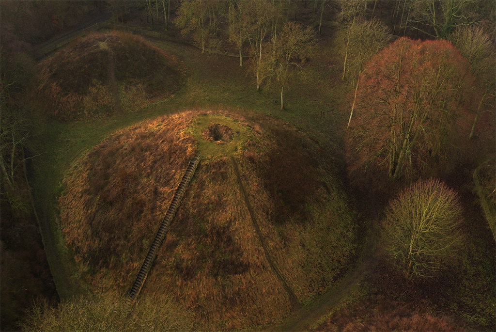
Ashdon has a rich history dating back to Roman times, with evidence of settlements and ancient burial sites in the area. The village is home to the Grade I listed church of All Saints, a beautiful medieval church known for its impressive architecture and stunning stained glass windows. Additionally, there are several well-preserved timber-framed houses that showcase the village's historical charm.

Despite its small size, Ashdon has a strong sense of community and offers amenities such as a local primary school, a village hall, and a pub. The village also hosts various events throughout the year, including a popular summer fete and Christmas market, bringing residents together and attracting visitors from the surrounding areas.

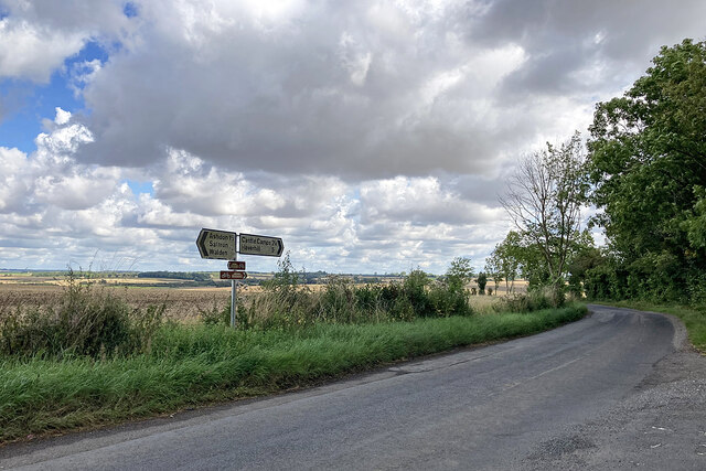
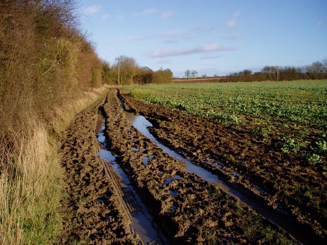
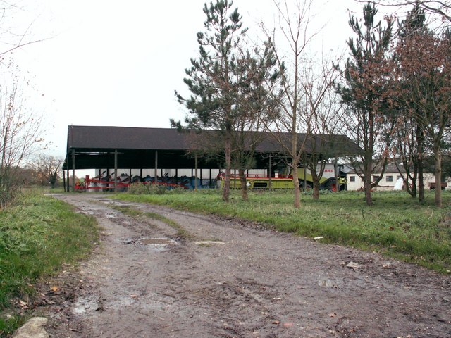
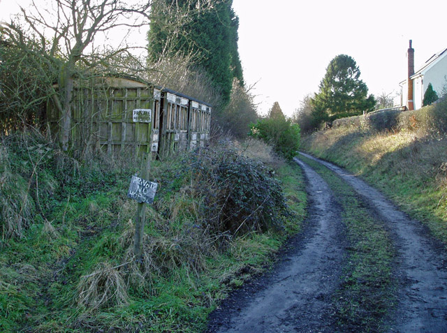
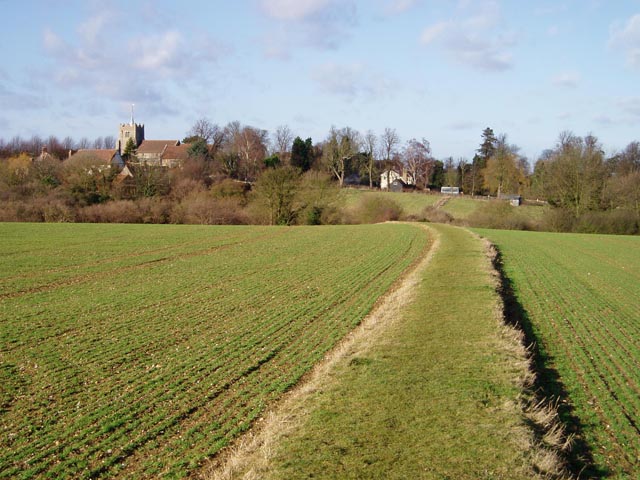
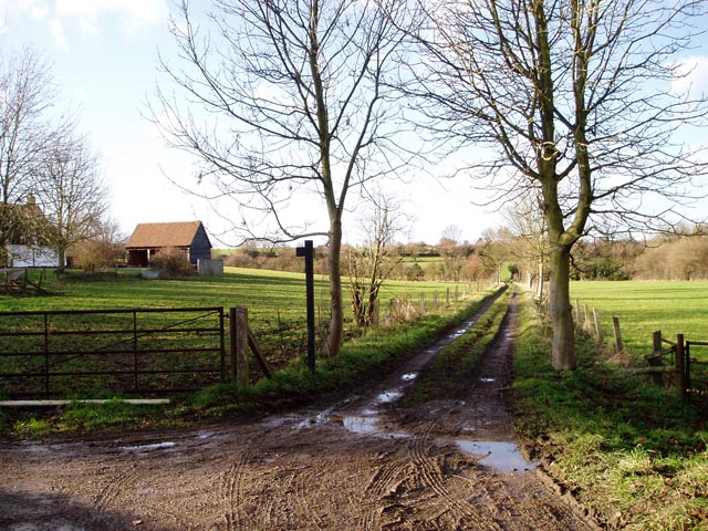
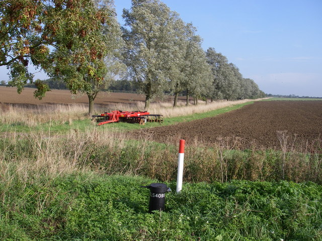
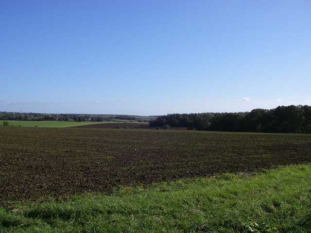
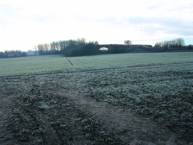
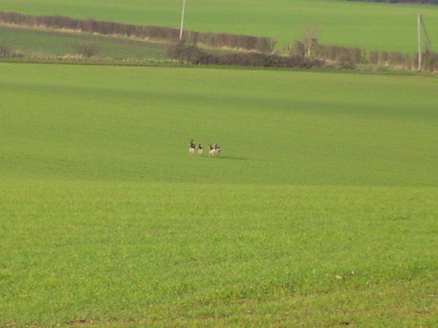
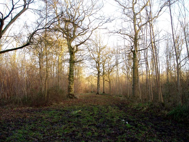
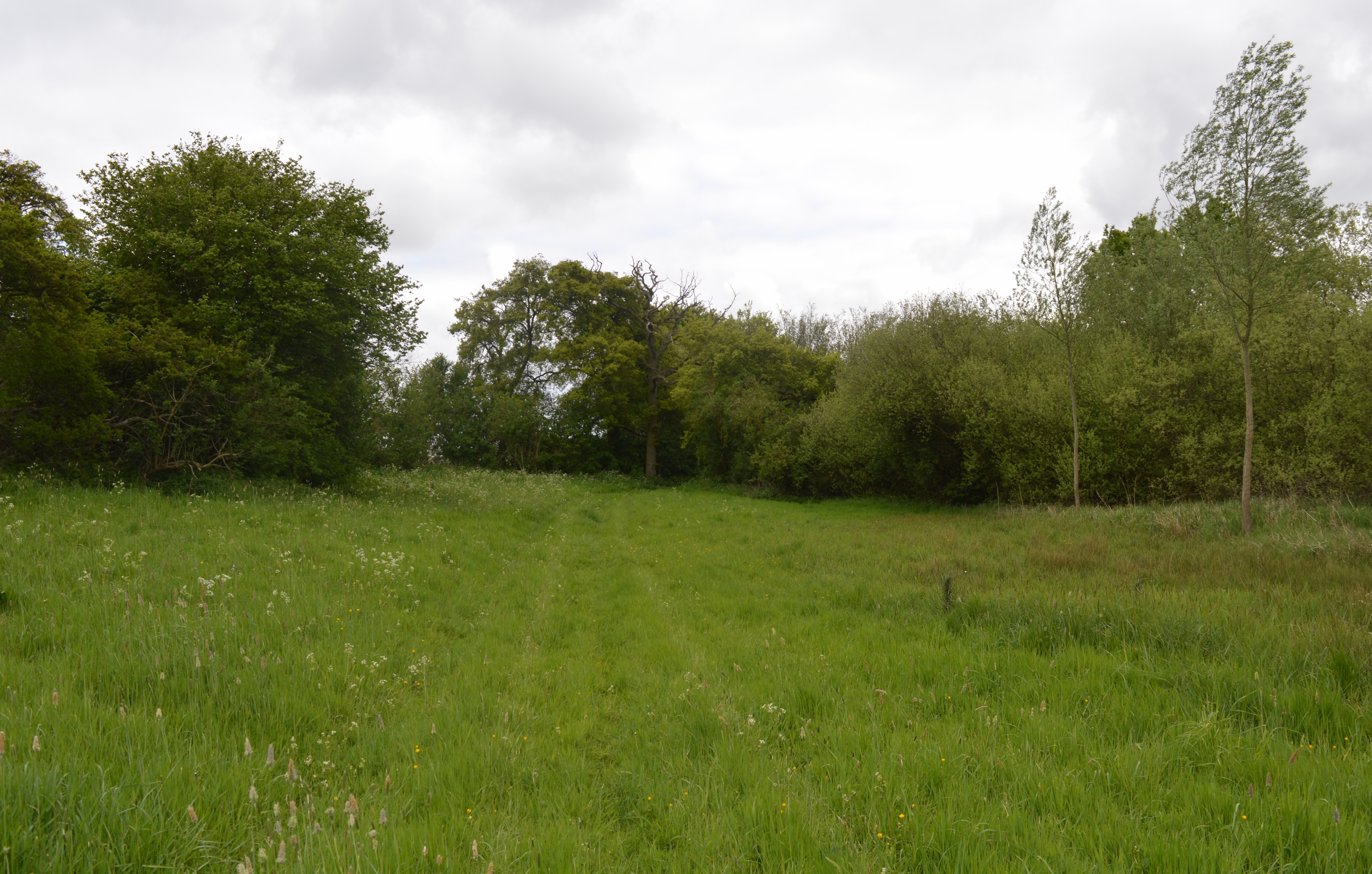
Surrounded by open fields, Ashdon is an ideal location for outdoor enthusiasts and nature lovers. The village is surrounded by footpaths and bridleways, providing opportunities for scenic walks and bike rides in the surrounding countryside. The nearby Ashdon Woods, part of the larger Bartlow Hills Nature Reserve, offer a beautiful setting for exploring the local flora and fauna.

Overall, Ashdon is a charming and idyllic village, offering a tranquil escape from the hustle and bustle of larger towns and cities. Its rich history, beautiful architecture, and strong sense of community make it a truly unique place to visit or call home.

If you have any feedback on the listing, please let us know in the comments section below.
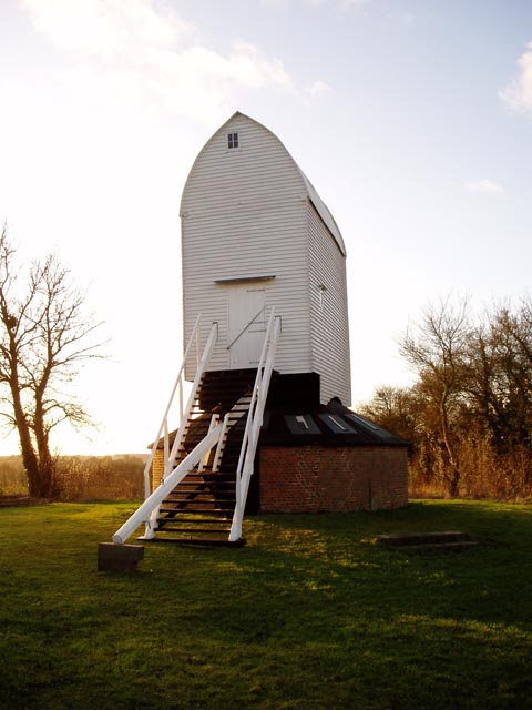
Ashdon Images

Images are sourced within 2km of 52.054878/0.313201 or Grid Reference TL5842. Thanks to Geograph Open Source API. All images are credited.

Five miles to Haverhill In a south-eastern wedge of Cambridgeshire, on the edges of Essex and Suffolk,
Five miles to Haverhill
In a south-eastern wedge of Cambridgeshire, on the edges of Essex and Suffolk,
Muddy track near Sandons Farm The soil round here has a very high clay content - it forms puddles easily and sticks to boots most uncomfortably.
Muddy track near Sandons Farm
The soil round here has a very high clay content - it forms puddles easily and sticks to boots most uncomfortably.
Langley Wood An interior view of this deciduous wood of around 100 acres.
Langley Wood
An interior view of this deciduous wood of around 100 acres.
Whitensmere Farm
Whitensmere Farm
Derelict station platform, Ashdon Marked as 'halt' on the 1940s map, this was a platform on the Audley End to Bartlow line. Just here there's no other evidence on the ground that it ever existed.
Derelict station platform, Ashdon
Marked as 'halt' on the 1940s map, this was a platform on the Audley End to Bartlow line. Just here there's no other evidence on the ground that it ever existed.
All Saints' Church, Ashdon Ashdon church is up the hill from the main village, part of the small settlement of Church End.
All Saints' Church, Ashdon
Ashdon church is up the hill from the main village, part of the small settlement of Church End.
Footpath from Church End to Water End, Ashdon A raised strip of land between two fields. Church End is in the background.
Footpath from Church End to Water End, Ashdon
A raised strip of land between two fields. Church End is in the background.
Path junction by Burnt House, Water End, Ashdon Burnt House is a name, not a description! The track straight ahead leads over to Church End (see also <a href="https://www.geograph.org.uk/photo/108668">TL5841 : Footpath from Church End to Water End, Ashdon</a>).
Path junction by Burnt House, Water End, Ashdon
Burnt House is a name, not a description! The track straight ahead leads over to Church End (see also TL5841 : Footpath from Church End to Water End, Ashdon).
Midsummer Hill, Goldstones The sign is right - this is real tractor country. Evidence of their work can be seen on the left.
Midsummer Hill, Goldstones
The sign is right - this is real tractor country. Evidence of their work can be seen on the left.
Horse at Sandons Farm, Ashdon This horse seemed quite used to posing for the camera - it looked at me all the while I was composing the shot, and got back to its grazing as soon as I'd taken it!
Horse at Sandons Farm, Ashdon
This horse seemed quite used to posing for the camera - it looked at me all the while I was composing the shot, and got back to its grazing as soon as I'd taken it!
Ashdon Windmill Built in 1757 and restored in 2001 by the Ashdon Windmill Trust.
Ashdon Windmill
Built in 1757 and restored in 2001 by the Ashdon Windmill Trust.
Ashdon village centre This is the small nuclear village at the centre of Ashdon parish, which contains several other satellite settlements and farms. The Rose and Crown pub is behind the photographer.
Ashdon village centre
This is the small nuclear village at the centre of Ashdon parish, which contains several other satellite settlements and farms. The Rose and Crown pub is behind the photographer.
Arable landscape - Ashdon A typical view of the land use in this Km square, arable with cricket bat willow along the ditch (the grid ref on the dip well in the foreground doesn't seem to tally!).
Arable landscape - Ashdon
A typical view of the land use in this Km square, arable with cricket bat willow along the ditch (the grid ref on the dip well in the foreground doesn't seem to tally!).
Little Hales wood and fields - Ashdon The chalky boulder clay results in this typical mosaic of fields and woods.
Little Hales wood and fields - Ashdon
The chalky boulder clay results in this typical mosaic of fields and woods.
Farmhouse at Ashdon Place This is a fine example of a beautiful timber-framed house that probably dates back to the early 15th century.
Farmhouse at Ashdon Place
This is a fine example of a beautiful timber-framed house that probably dates back to the early 15th century.
A train this way did run. That is frost and a grey morning indeed.
A train this way did run.
That is frost and a grey morning indeed.
Waltons From the Harcamlow Way.
Waltons
From the Harcamlow Way.
Deer in flight.
Deer in flight.
Show me another place!

Ashdon is located at Grid Ref: TL5842 (Lat: 52.054878, Lng: 0.313201)

Administrative County: Essex

District: Uttlesford

Police Authority: Essex

What 3 Words

///likening.tides.encloses. Near Linton, Cambridgeshire

Nearby Locations

Ashdon

Related Wikis

Nearby Amenities

Located within 500m of 52.054878,0.313201
Crossing: informal
Lat/Long: 52.0526839/0.3108545
Ashdon Village Museum
Fee: no
Fixme: Isn't there a tea room here?; add as a seperate node.
Opening Hours: Mar-Oct PH,Su 14:00-17:00
Tourism: museum
Wikidata: Q52516591
Lat/Long: 52.0525295/0.3110917
Carters Croft
Naptan AtcoCode: 150018024002
Naptan Bearing: S
Naptan BusStopType: CUS
Naptan CommonName: Rogers End
Naptan Crossing: Carters Croft
Naptan Indicator: S-bound
Naptan Landmark: Rogers End
Naptan NaptanCode: esxdatga
Naptan Street: Church Hill
Naptan Verified: no
Public Transport: platform
Source: naptan_import
Lat/Long: 52.0576342/0.3153277
Church Hill
Naptan AtcoCode: 150018024008
Naptan Bearing: NE
Naptan BusStopType: CUS
Naptan CommonName: Church Hill
Naptan Crossing: Rectory Lane
Naptan Indicator: N-bound
Naptan Landmark: Church Hill
Naptan NaptanCode: esxdgagw
Naptan Street: Church Hill
Naptan Verified: no
Public Transport: platform
Shelter: no
Source: naptan_import
Lat/Long: 52.0523191/0.3103123
Carters Croft
Bench: no
Bin: no
Lit: no
Naptan AtcoCode: 150018024009
Naptan Bearing: NE
Naptan BusStopType: CUS
Naptan CommonName: Rogers End
Naptan Crossing: Carters Croft
Naptan Indicator: N-bound
Naptan Landmark: Rogers End
Naptan NaptanCode: esxdgaja
Naptan Street: Church Hill
Naptan Verified: no
Public Transport: platform
Shelter: no
Source: naptan_import
Tactile Paving: no
Lat/Long: 52.0569384/0.3150437
Church Hill
Naptan AtcoCode: 1500180240Y8
Naptan Bearing: SW
Naptan BusStopType: CUS
Naptan CommonName: Church Hill
Naptan Crossing: Rectory Lane
Naptan Indicator: S-bound
Naptan Landmark: Church Hill
Naptan NaptanCode: esxgpagw
Naptan Street: Church Hill
Naptan Verified: no
Public Transport: platform
Shelter: yes
Source: naptan_import
Lat/Long: 52.0522818/0.3103833
Bus Stop
Rose & Crown
Bench: yes
Bin: yes
Lit: no
Naptan AtcoCode: 1500IM1139
Naptan Bearing: SW
Naptan BusStopType: CUS
Naptan CommonName: Rose & Crown
Naptan Crossing: Rectory Lane
Naptan Indicator: Opp
Naptan Landmark: Rose & Crown
Naptan NaptanCode: esxdapmt
Naptan Street: Church Hill
Naptan Verified: no
Public Transport: platform
Shelter: yes
Source: naptan_import
Tactile Paving: no
Lat/Long: 52.0545717/0.3128354
Bus Stop
Rose & Crown
Bench: no
Bin: no
Lit: no
Naptan AtcoCode: 1500IM1139AA
Naptan Bearing: NE
Naptan BusStopType: CUS
Naptan CommonName: Rose & Crown
Naptan Crossing: Rectory Lane
Naptan Indicator: o/s
Naptan Landmark: Rose & Crown
Naptan NaptanCode: esxgpgmw
Naptan Street: Church Hill
Naptan Verified: no
Public Transport: platform
Shelter: no
Source: naptan_import
Tactile Paving: no
Lat/Long: 52.0546379/0.3127322
Bus Stop
Bench: no
Bin: no
Shelter: no
Tactile Paving: no
Lat/Long: 52.0573478/0.3153559
Check Date: 2023-08-02
Closed: permanently
Disused Amenity: post_office
Lat/Long: 52.0548465/0.3128855
Telephone
Booth: K6
Covered: booth
Image: https://www.bing.com/maps?osid=3d48e2e8-86e3-4c56-ab3c-553242f6b1ac&cp=52.055225~0.313509&lvl=19&dir=168.99355&pi=-1.294&style=x&mo=z.0&v=2&sV=2&form=S00027
Indoor: no
Listed Status: Grade II
Operator: BT
Operator Wikidata: Q593786
Phone: +44 1799 584393
Lat/Long: 52.055188/0.3135843
Fixme: Where does this road go?; does it just stop like this?
Lat/Long: 52.0575991/0.3154877
Place Of Worship
Marpa House
Check Date: 2023-08-06
Religion: buddhist
Lat/Long: 52.0550055/0.3085946
Post Box
Collection Times: Mo-Fr 17:00; Sa 23:15
Mapillary: 190835956758153
Post Box Mounting: pier
Post Box Type: lamp
Ref: CB10 23
Royal Cypher: EIIR
Royal Cypher Wikidata: Q33102113
Survey Date: 2022-10-05
Lat/Long: 52.0547822/0.3132381
Booth: K6
Man Made: telephone_box
Lat/Long: 52.0525419/0.3109454
Baby: yes
Capacity: 4
Playground: swing
Lat/Long: 52.0553741/0.310801
Playground: slide
Playground Theme: playground
Lat/Long: 52.0551687/0.3107035
Access: private
Leisure: swimming_pool
Location: outdoor
Swimming Pool: outdoor
Lat/Long: 52.0575079/0.3160208
Access: private
Leisure: swimming_pool
Lit: no
Location: outdoor
Lat/Long: 52.0525811/0.3133754
Access: yes
Leisure: pitch
Sport: soccer
Surface: grass
Lat/Long: 52.0552356/0.3114418
Hoops: 1
Leisure: pitch
Sport: basketball
Surface: grass
Lat/Long: 52.0551045/0.3110291
Was Highway: crossing
Lat/Long: 52.0533129/0.3139397
Bench
Backrest: yes
Material: wood
Lat/Long: 52.0554652/0.3108526
Bench
Backrest: no
Material: wood
Lat/Long: 52.0554652/0.3108526
Barrier: swing_gate
Material: wood
Lat/Long: 52.0551557/0.308705
Bench
Backrest: yes
Inscription: Lest We Forget To mark the 75th Anniversary of the end of WW2-August 2020
Material: wood
Lat/Long: 52.0546811/0.3129536
Vending Machine
Check Date: 2023-08-24
Fee: no
Vending: newspapers
Lat/Long: 52.0547564/0.313266
Man Made: utility_pole
Material: wood
Lat/Long: 52.0543934/0.3138846
Street Lamp
Support: power_pole
Lat/Long: 52.0543934/0.3138846
Man Made: utility_pole
Material: wood
Lat/Long: 52.0532089/0.313898
Street Lamp
Support: power_pole
Lat/Long: 52.0532089/0.313898
Man Made: utility_pole
Material: wood
Lat/Long: 52.0531761/0.3147
Bench
Backrest: yes
Material: wood
Seats: 4
Lat/Long: 52.0570216/0.3149326
Bench
Backrest: yes
Material: wood
Seats: 4
Lat/Long: 52.0567967/0.3147634
Board Type: notice
Information: board
Tourism: information
Lat/Long: 52.0567156/0.314746
Man Made: utility_pole
Material: wood
Lat/Long: 52.0549704/0.3109472
Man Made: utility_pole
Material: wood
Lat/Long: 52.0551166/0.3095673
Man Made: utility_pole
Material: wood
Lat/Long: 52.0550111/0.3098674
Man Made: utility_pole
Material: wood
Lat/Long: 52.0551895/0.3089038
Man Made: utility_pole
Material: wood
Lat/Long: 52.0552636/0.3081871
Man Made: utility_pole
Material: wood
Lat/Long: 52.0553128/0.3068045
Man Made: utility_pole
Lat/Long: 52.0527114/0.3080874
Man Made: utility_pole
Lat/Long: 52.0526562/0.3069954
The data included in this document is from www.openstreetmap.org. The data is made available under ODbL.

Have you been to Ashdon?

Leave your review of Ashdon below (or comments, questions and feedback).