Buscot Copse
Wood, Forest in Berkshire
England
Buscot Copse
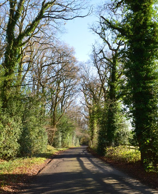
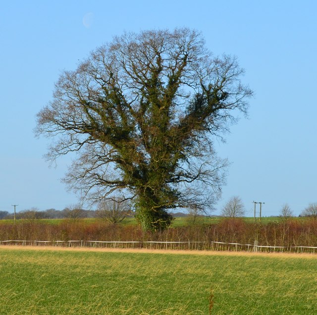
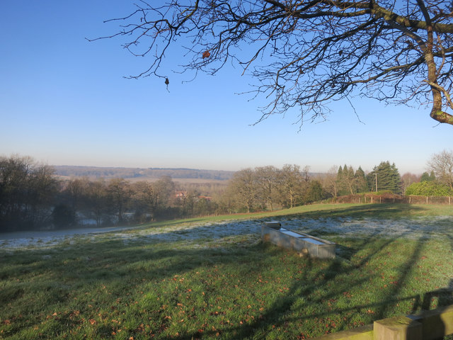
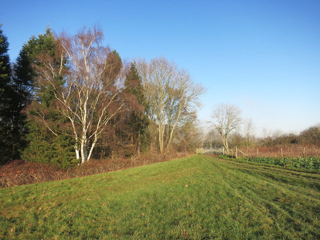
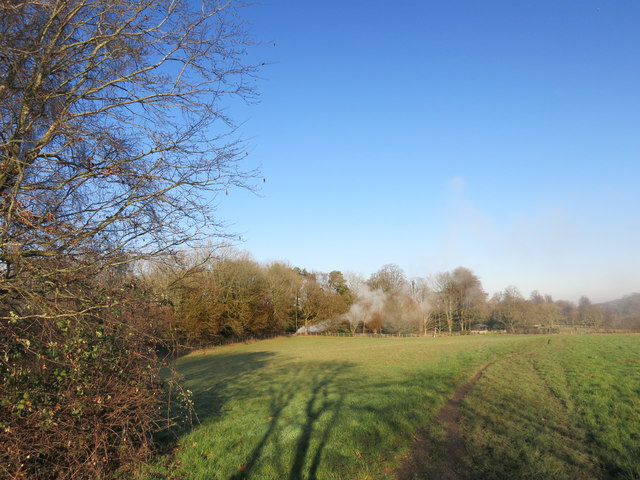
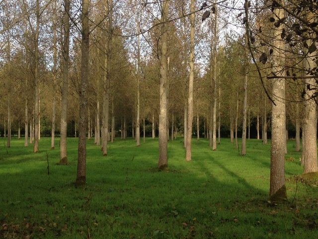
Buscot Copse is a picturesque wood located in Berkshire, England. Situated near the village of Buscot, it spans an area of approximately 70 hectares and is classified as a Site of Special Scientific Interest (SSSI). The copse is predominantly made up of ancient woodland, with some parts dating back hundreds of years, providing a glimpse into the area's rich natural history.
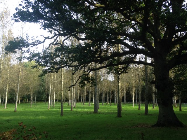
The woodland is characterized by a diverse range of tree species, including oak, beech, ash, and birch. These majestic trees create a dense canopy, which allows limited sunlight to reach the forest floor, creating a unique ecosystem. The undergrowth consists of ferns, bluebells, and other wildflowers, adding to the copse's natural beauty.
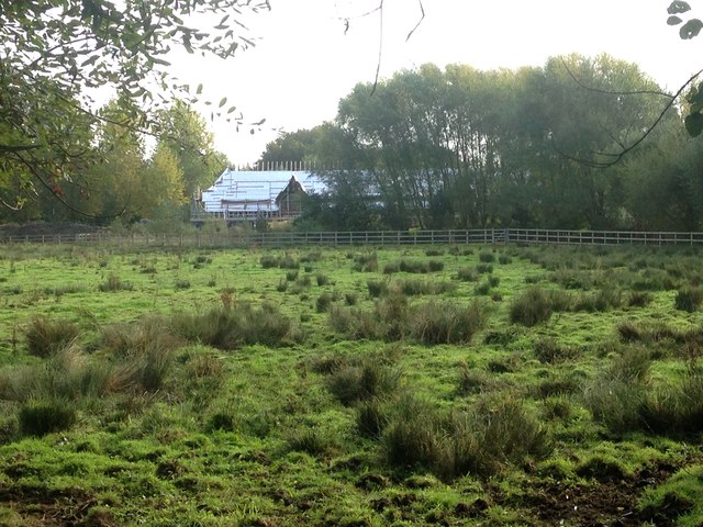
Buscot Copse is a haven for wildlife, offering a habitat for numerous species. Birdwatchers can spot a variety of species, including woodpeckers, owls, and thrushes. The woodland is also home to mammals such as deer, foxes, and badgers, which can occasionally be seen foraging among the trees.
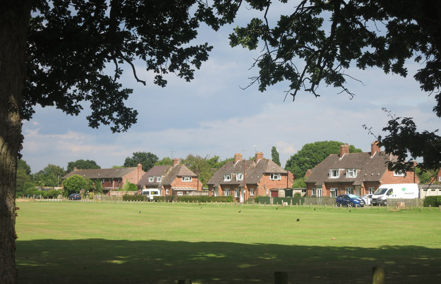
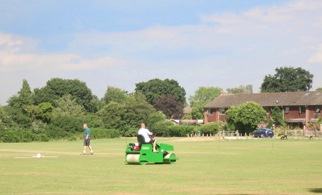
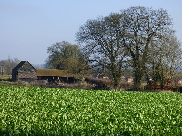
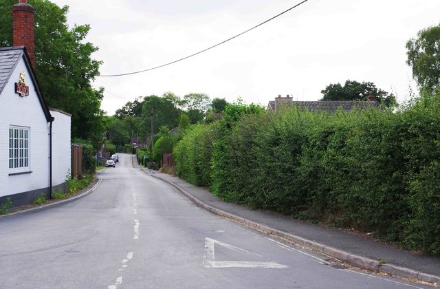
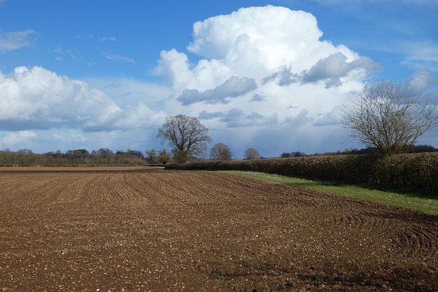
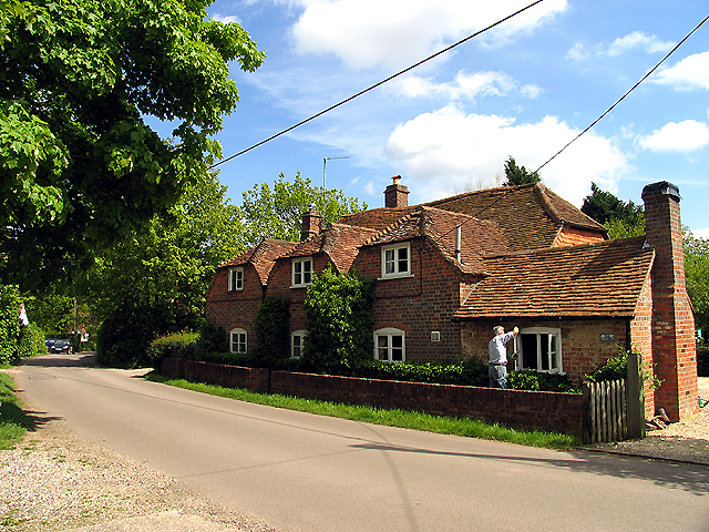
The copse offers visitors several walking trails, allowing them to explore the area's natural beauty. The peaceful atmosphere and tranquility of the woodland make it an ideal spot for nature enthusiasts, hikers, and families looking to enjoy a day out in the countryside. Additionally, the copse is surrounded by scenic countryside, providing stunning views of the surrounding landscape.
In conclusion, Buscot Copse in Berkshire is a captivating woodland, with its ancient trees, diverse wildlife, and scenic trails. It offers visitors an opportunity to immerse themselves in nature and experience the beauty of the English countryside.
If you have any feedback on the listing, please let us know in the comments section below.
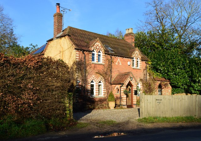
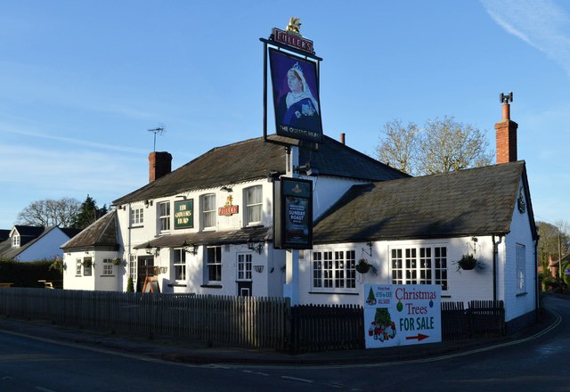
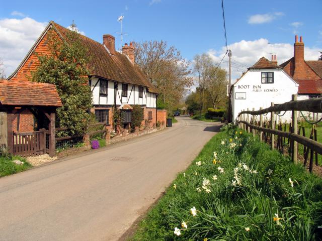
Buscot Copse Images
Images are sourced within 2km of 51.442528/-1.1382571 or Grid Reference SU5971. Thanks to Geograph Open Source API. All images are credited.
Buscot Copse is located at Grid Ref: SU5971 (Lat: 51.442528, Lng: -1.1382571)
Unitary Authority: West Berkshire
Police Authority: Thames Valley
What 3 Words
///blocking.cured.safari. Near Bradfield, Berkshire
Nearby Locations
Related Wikis

Bradfield Rural District
Bradfield was a rural district in Berkshire, England, from 1894 to 1974.It was created under the Local Government Act 1894 from the Bradfield rural sanitary...

Bradfield, Berkshire
Bradfield is a village and civil parish in Berkshire, England. Aside from farms and a smaller amount of woodland its main settlements are Bradfield Southend...

Bradfield College
Bradfield College, formally St Andrew's College, Bradfield, is a public school (English fee-charging boarding and day school) for pupils aged 13–18, located...
Southend, Berkshire
Southend or Bradfield Southend is a small rural village in the west of the civil parish of Bradfield in the English county of Berkshire. Until the 1965...
Tutts Clump
Tutts Clump is a small hamlet in the civil parish of Bradfield in the English county of Berkshire. It is 8 mi (13 km) from the centre of Reading. It lies...

Englefield House
Englefield House is an Elizabethan country house with surrounding estate at Englefield in the English county of Berkshire. The gardens are open to the...
Stanford Dingley
Stanford Dingley is a small village and civil parish in West Berkshire, England, between Newbury and Theale. == Geography == Stanford Dingley fills part...
St Andrew's School, Pangbourne
St Andrew's School is an independent preparatory school in the hamlet of Buckhold, near Pangbourne, Berkshire, England. Together with its 'Pre-Prep – Early...
Related Videos

West Berkshire Council Active Travel for Schools
In this video we talk about how we use a survey with school children to see how they want to travel to school. Active Travel, such ...


Jamaican Brown Stew Fish, whilst Hiking
In this video, I hiked in the English Countryside, I then stopped at the side of a lovely river and cooked brown stew fish and rice.
Nearby Amenities
Located within 500m of 51.442528,-1.1382571Have you been to Buscot Copse?
Leave your review of Buscot Copse below (or comments, questions and feedback).