Rough Breck
Wood, Forest in Nottinghamshire Bassetlaw
England
Rough Breck
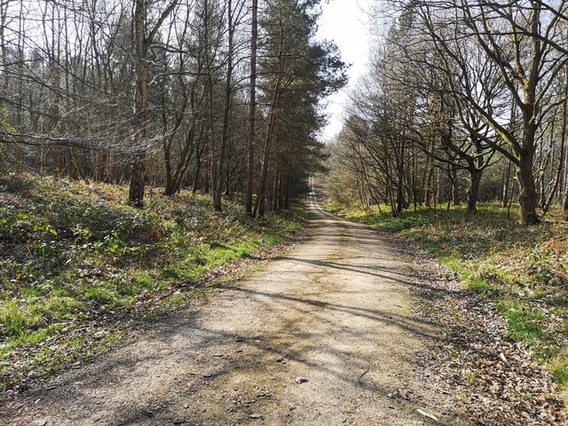
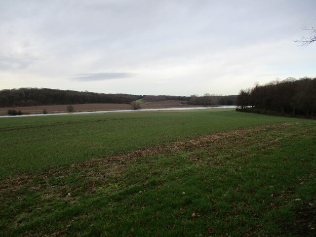
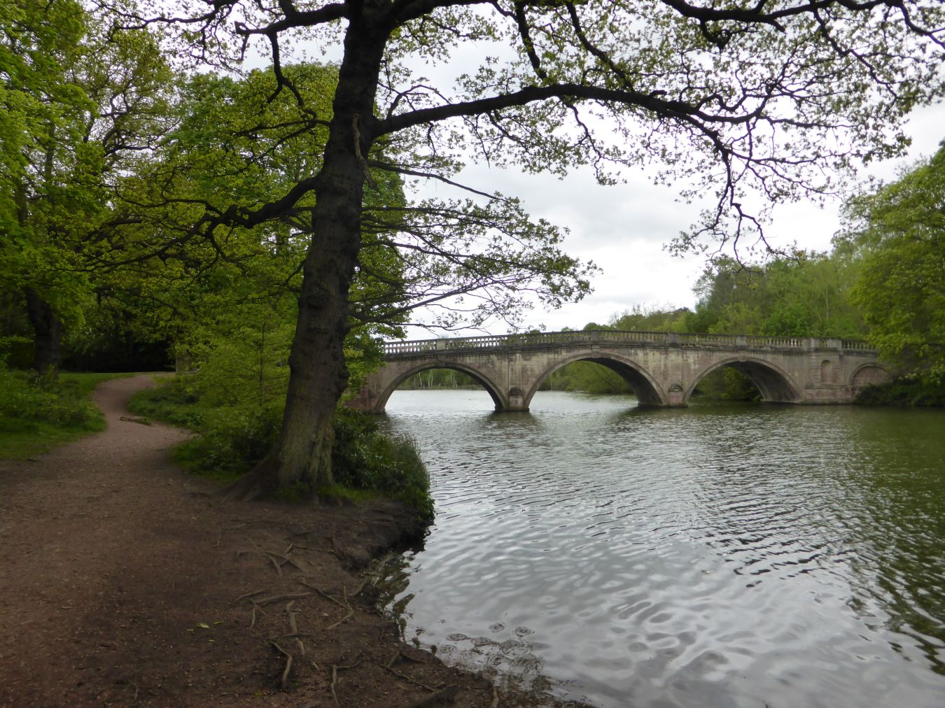
Rough Breck is a small wooded area located in Nottinghamshire, England. Situated within the larger Sherwood Forest, it covers an area of approximately 200 acres and is known for its dense and diverse vegetation. The area is characterized by its rough terrain, with undulating hills and rocky outcrops.
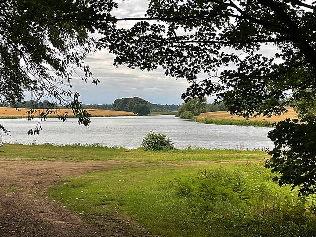
The woodlands in Rough Breck are primarily composed of oak, birch, and beech trees, which create a dense canopy overhead. This provides a habitat for a variety of wildlife, including deer, foxes, and a wide range of bird species. The woodlands also feature a number of small streams and ponds, which further enhance the biodiversity of the area.
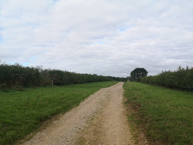
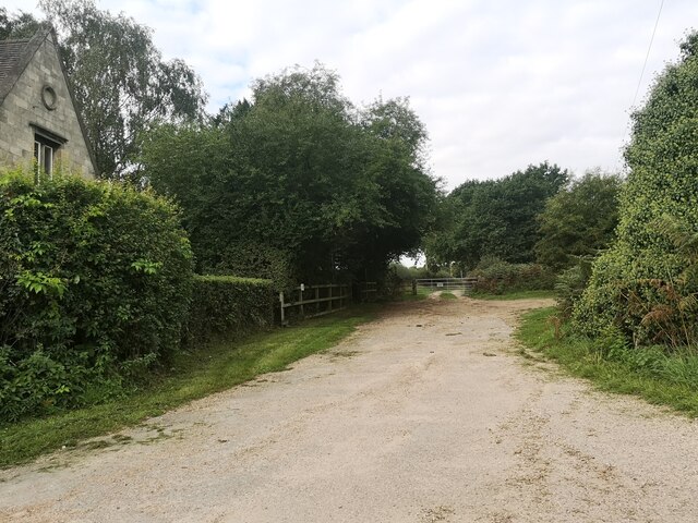
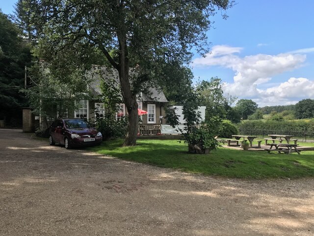
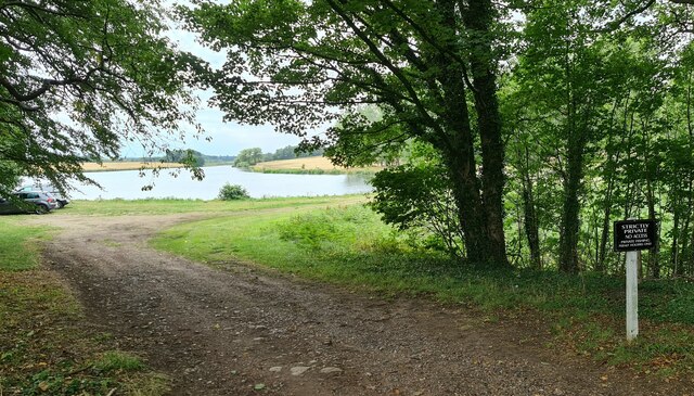
Rough Breck holds historical significance as part of the ancient Sherwood Forest, which was once a royal hunting ground. Today, it is a popular destination for nature enthusiasts and walkers, with a network of trails and footpaths allowing visitors to explore the area. There are also designated picnic areas and viewpoints, offering opportunities to relax and take in the natural beauty of the surroundings.
The woodlands in Rough Breck are managed by the local authorities to ensure the preservation of its ecological value. Conservation efforts are aimed at maintaining the balance between human recreation and the protection of the natural habitat. As such, visitors are encouraged to follow designated paths and respect the wildlife and vegetation present in the area.
In summary, Rough Breck is a picturesque woodland area within Sherwood Forest, known for its rough terrain, diverse vegetation, and abundant wildlife. With its rich natural heritage and accessibility, it offers a unique and immersive experience for nature enthusiasts and visitors alike.
If you have any feedback on the listing, please let us know in the comments section below.
Rough Breck Images
Images are sourced within 2km of 53.25687/-1.1022287 or Grid Reference SK5973. Thanks to Geograph Open Source API. All images are credited.


Rough Breck is located at Grid Ref: SK5973 (Lat: 53.25687, Lng: -1.1022287)
Administrative County: Nottinghamshire
District: Bassetlaw
Police Authority: Nottinghamshire
What 3 Words
///cute.lucky.fuzz. Near Hardwick Village, Nottinghamshire
Related Wikis

St Giles Church, Carburton
St Giles Church is a redundant Anglican church in Carburton, Nottinghamshire. == History == The church is an unusual shape and dates back to the early...
Carburton
Carburton or Carberton is a small village on the west side of Clumber within the Bassetlaw district of Nottinghamshire, England. It is primarily rural...
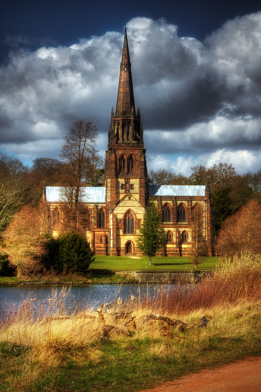
Church of St Mary the Virgin, Clumber Park
The Church of St. Mary the Virgin, Clumber Park, is an Anglican church in Clumber Park, Nottinghamshire, England. The church is Grade I listed by English...

Clumber and Hardwick
Clumber and Hardwick is a civil parish in the Bassetlaw district, in the county of Nottinghamshire, England. The parish includes the settlement of Hardwick...
Have you been to Rough Breck?
Leave your review of Rough Breck below (or comments, questions and feedback).