Dunsa

Settlement in Derbyshire Derbyshire Dales

England

Dunsa

Looking down the cascade at Chatsworth
Looking down the cascade at Chatsworth Credit: Peter Moore

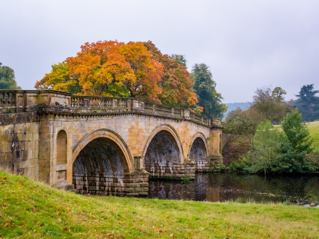
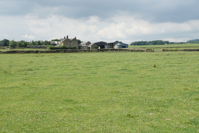
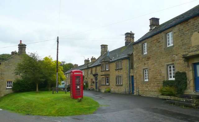
Dunsa is a small village located in the county of Derbyshire, in the East Midlands region of England. Situated in the picturesque Peak District National Park, Dunsa is surrounded by breathtaking natural beauty, making it a popular destination for outdoor enthusiasts and nature lovers.

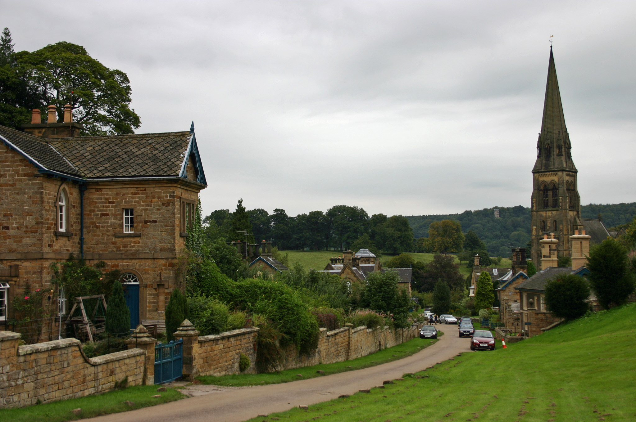
The village itself is characterized by its charming rural atmosphere, with traditional stone houses and narrow winding lanes. The local community is close-knit and friendly, giving Dunsa a welcoming and peaceful ambiance. The village pub, The Red Lion, is a focal point for social gatherings and serves as a hub for locals and visitors alike.

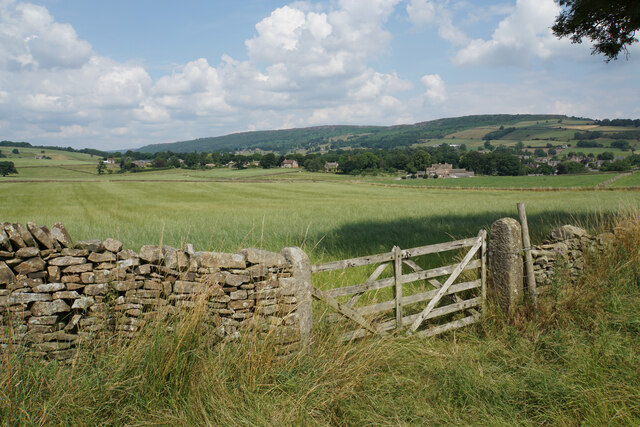
Dunsa is blessed with an abundance of outdoor recreational opportunities. The surrounding countryside offers numerous walking and hiking trails, allowing visitors to explore the stunning landscapes, including rolling hills, meandering rivers, and dense woodlands. The nearby Dunsa Reservoir is a popular spot for fishing and birdwatching, attracting a variety of species throughout the year.

In terms of amenities, Dunsa has a primary school, a post office, and a small convenience store that caters to the basic needs of the local community. For more extensive shopping and entertainment options, the town of Matlock is only a short drive away.

Overall, Dunsa is a tranquil and idyllic village that offers residents and visitors a chance to escape the hustle and bustle of city life and immerse themselves in the natural beauty of the Peak District.

If you have any feedback on the listing, please let us know in the comments section below.
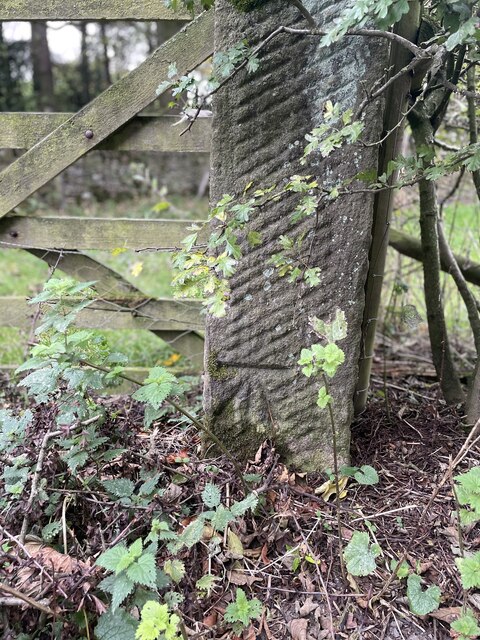
Dunsa Images

Images are sourced within 2km of 53.229166/-1.634451 or Grid Reference SK2470. Thanks to Geograph Open Source API. All images are credited.

Looking down the cascade at Chatsworth
Paine's Bridge over the Derwent
Baslow, A619, Thirteen Bends BM on post

SK 2420 7155
Baslow, A619, Thirteen Bends
BM on post SK 2420 7155
Baslow, A619, Thirteen Bends OS Rivet on gatepost 

SK 2392 7152
Baslow, A619, Thirteen Bends
OS Rivet on gatepost SK 2392 7152
Pilsley, Top Road OS BM on gatepost

SK 2436 7093
Pilsley, Top Road
OS BM on gatepost SK 2436 7093
Pilsley, Top Road OS BM on gatepost
SK 2403 7082
Pilsley, Top Road
OS BM on gatepost SK 2403 7082
Field entrance near Baslow Quite prominent behind the gate is Bubnell Hall. On the hills behind are Baslow Edge and Curbar Edge.
Field entrance near Baslow
Quite prominent behind the gate is Bubnell Hall. On the hills behind are Baslow Edge and Curbar Edge.
Cattle lined up above Rymas Brook Almost looking like a welcoming party, but they weren't bothered by my presence. Both Rymas Brook and the A619 run in the bottom of the valley behind.
Cattle lined up above Rymas Brook
Almost looking like a welcoming party, but they weren't bothered by my presence. Both Rymas Brook and the A619 run in the bottom of the valley behind.
Bubnell Cliff Farm Viewed from a nearby footpath.
Bubnell Cliff Farm
Viewed from a nearby footpath.
Footpath to Baslow The path has to cross Rymas Brook which involves a fairly abrupt down and up. Baslow can be seen straight ahead.
Footpath to Baslow
The path has to cross Rymas Brook which involves a fairly abrupt down and up. Baslow can be seen straight ahead.
Pilsley A view of the village from a footpath coming from Baslow.
Pilsley
A view of the village from a footpath coming from Baslow.
Hillside above Rymas Brook A view from a bridleway near Pilsley which drops into the valley. Longstone Edge is seen in the background.
Hillside above Rymas Brook
A view from a bridleway near Pilsley which drops into the valley. Longstone Edge is seen in the background.
High Street, Pilsley The top of the village where the street degenerates into a bridleway.
High Street, Pilsley
The top of the village where the street degenerates into a bridleway.
Ruined barn near Pilsley No longer required for the surrounding grazing.
Ruined barn near Pilsley
No longer required for the surrounding grazing.
Footpath junction near Pilsley
Path to Handley Lane The original farm track comes to an end here and the path has to cross an open field.
Path to Handley Lane
The original farm track comes to an end here and the path has to cross an open field.
The remains of a tree stump in a field The stump is rotting away on the inside but there is still enough of it to present an obstacle for the silage collection. The hollow behind is Handley Bottom.
The remains of a tree stump in a field
The stump is rotting away on the inside but there is still enough of it to present an obstacle for the silage collection. The hollow behind is Handley Bottom.
Chatsworth Cricket Club A cricket ground on the estate. The club only plays friendly matches.
Chatsworth Cricket Club
A cricket ground on the estate. The club only plays friendly matches.
Show me another place!

Dunsa is located at Grid Ref: SK2470 (Lat: 53.229166, Lng: -1.634451)

Administrative County: Derbyshire

District: Derbyshire Dales

Police Authority: Derbyshire

What 3 Words

///nerves.sheet.sardine. Near Baslow, Derbyshire

Related Wikis

Edensor

Edensor (pronounced ) is a village and civil parish in Derbyshire, England. The population of the civil parish at the 2011 census was 145. Much of the...

St Peter's Church, Edensor

St Peter's Church, Edensor, is a Grade I listed church in Edensor, Derbyshire. St Peter's is the closest parish church in the Church of England to Chatsworth...

Pilsley, Derbyshire Dales

Pilsley is a small village and civil parish in Derbyshire, England. At the 2011 Census the population of the civil parish was 152. It is close to Chatsworth...
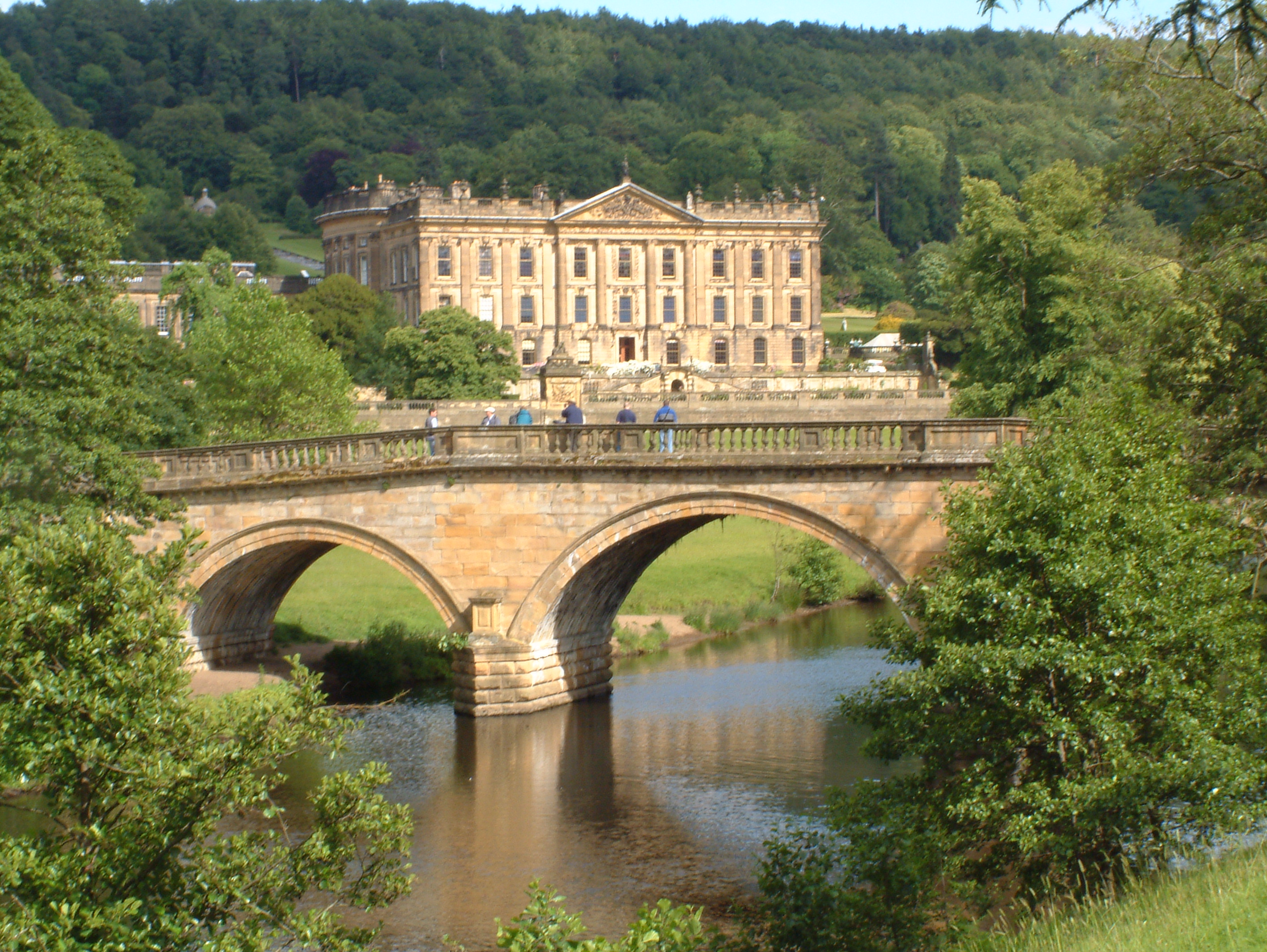
Chatsworth House

Chatsworth House is a stately home in the Derbyshire Dales, 4 miles (6.4 km) north-east of Bakewell and 9 miles (14 km) west of Chesterfield, England....

Nearby Amenities

Located within 500m of 53.229166,-1.634451
Bus Stop
Edensor, B6048 / Cuttings
Bus: yes
Naptan AtcoCode: 1000DCEC3429
Naptan Bearing: NW
Naptan CommonName: Cuttings
Naptan Indicator: Opp
Naptan Landmark: B6012
Naptan LocalityName: Edensor
Naptan NaptanCode: dbsgjmjt
Naptan PlusbusZoneRef: BUXTON
Naptan Street: B6048
Public Transport: platform
Source: naptan_import
Lat/Long: 53.2331824/-1.6316106
Bus Stop
Edensor, B6048 / Cuttings
Bus: yes
Naptan AtcoCode: 1000DCEC3428
Naptan Bearing: SE
Naptan CommonName: Cuttings
Naptan Indicator: Adj
Naptan Landmark: B6012
Naptan LocalityName: Edensor
Naptan NaptanCode: dbsgjmjp
Naptan PlusbusZoneRef: BUXTON
Naptan Street: B6048
Public Transport: platform
Source: naptan_import
Lat/Long: 53.2333024/-1.6317407
Edensor, B6048 / Cuttings
Bus: yes
Public Transport: stop_position
Lat/Long: 53.233261/-1.6317642
Edensor, B6048 / Cuttings
Bus: yes
Public Transport: stop_position
Lat/Long: 53.2332133/-1.631591
The data included in this document is from www.openstreetmap.org. The data is made available under ODbL.

Have you been to Dunsa?

Leave your review of Dunsa below (or comments, questions and feedback).