Duns Tew

Settlement in Oxfordshire Cherwell

England

Duns Tew

Bus Stop on the Main Road By a cross roads midway between the villages of Duns Tew and North Aston.
Bus Stop on the Main Road Credit: Des Blenkinsopp

Duns Tew is a small village located in the Cherwell district of Oxfordshire, England. It is situated about 10 miles northwest of the city of Oxford and lies within the picturesque Cotswolds Area of Outstanding Natural Beauty. With a population of around 400 residents, Duns Tew is known for its tranquility and charming rural setting.

The village is characterized by its traditional limestone cottages and historic buildings, giving it a quintessential English countryside feel. One notable landmark is the Church of St. Mary Magdalene, an ancient structure dating back to the 13th century, which stands at the heart of the village.

Duns Tew benefits from a strong sense of community, with various local activities and events taking place throughout the year. The village pub, The White Horse, serves as a hub for social gatherings and offers a range of traditional food and beverages.

Surrounded by rolling hills and scenic countryside, Duns Tew is an ideal location for outdoor enthusiasts. The area offers numerous walking and cycling routes, providing opportunities to explore the stunning rural landscapes and wildlife. Additionally, the village is within easy reach of nearby attractions such as Blenheim Palace, Bicester Village shopping outlet, and the historic town of Woodstock.

Overall, Duns Tew offers a peaceful and idyllic setting, perfect for those seeking a tranquil escape from the bustling city life.

If you have any feedback on the listing, please let us know in the comments section below.
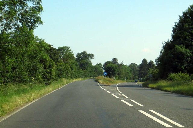
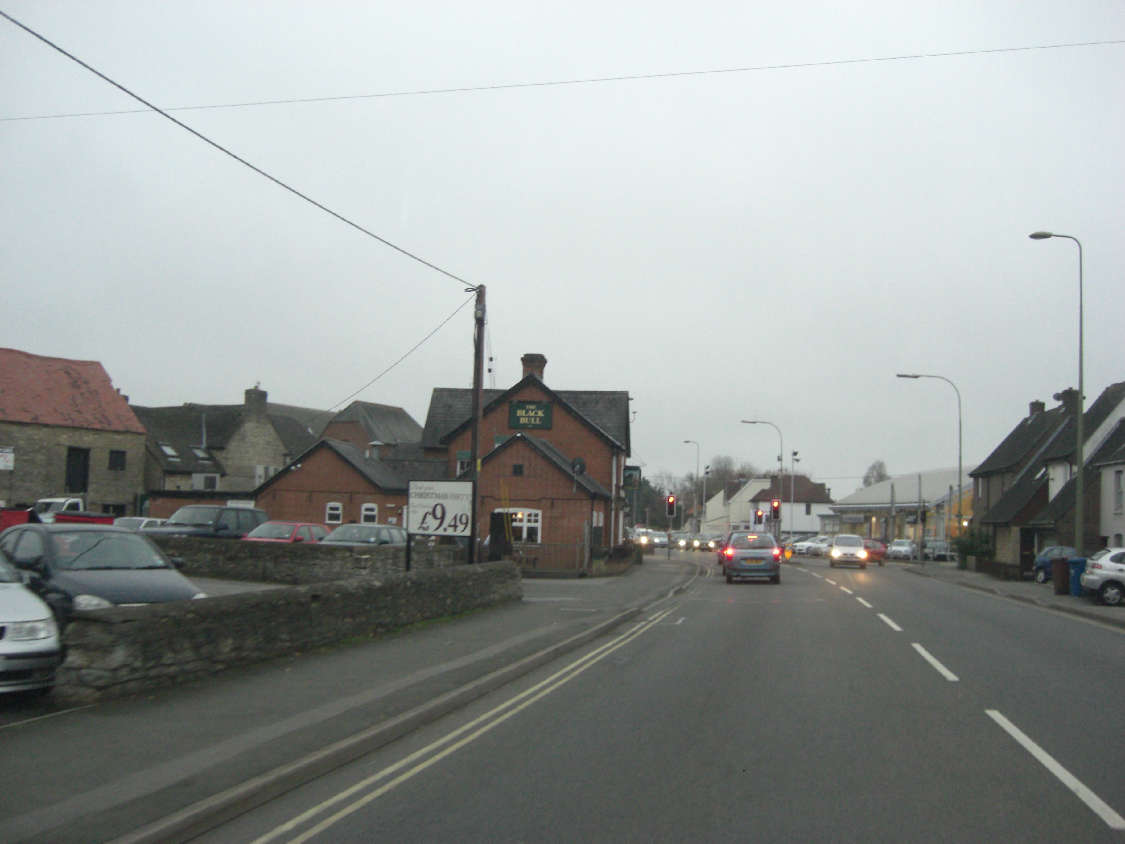
Duns Tew Images

Images are sourced within 2km of 51.952251/-1.336399 or Grid Reference SP4528. Thanks to Geograph Open Source API. All images are credited.

Bus Stop on the Main Road By a cross roads midway between the villages of Duns Tew and North Aston.
Bus Stop on the Main Road
By a cross roads midway between the villages of Duns Tew and North Aston.
Dead Elms along North Aston Road At one time Elms were large woodland trees, a common sight all over the country.
Wiped out as such by Dutch Elm Disease, a fungal infection spread by bark beetles, elms can continue to regenerate from root stock but the shoots will only survive until the bark is mature enough to attract the beetles.
This picture shows what happens. The nearest tree is still healthy, but is now at an age where it can be infected. This is probably its final year.
Next is one which has managed to put out a few leaves  this year, but is clearly not going to survive.
Dead ones are beyond. This looks like the future for the once mighty Elm, unless some miracle cure is found or an immunity develops.
Dead Elms along North Aston Road
At one time Elms were large woodland trees, a common sight all over the country. Wiped out as such by Dutch Elm Disease, a fungal infection spread by bark beetles, elms can continue to regenerate from root stock but the shoots will only survive until the bark is mature enough to attract the beetles. This picture shows what happens. The nearest tree is still healthy, but is now at an age where it can be infected. This is probably its final year. Next is one which has managed to put out a few leaves this year, but is clearly not going to survive. Dead ones are beyond. This looks like the future for the once mighty Elm, unless some miracle cure is found or an immunity develops.
Park Farm House A large house by a cross roads.
Park Farm House
A large house by a cross roads.
Fields near Hendon Farm
Bridleway crosses the road near Warren Lodge
Unfenced field near Warren Lodge
Somerton Road junction with Middle Aston Road
A4260 south of Dane Hill
A4260 northwest of Dane Hill Farm
Oxford Road to Deddington
Oxford Road going down Dane Hill
Oxford Road on Dane Hill
Speed camera on Oxford Road
Oxford Road to Deddington
Show me another place!

Duns Tew is located at Grid Ref: SP4528 (Lat: 51.952251, Lng: -1.336399)

Administrative County: Oxfordshire

District: Cherwell

Police Authority: Thames Valley

What 3 Words

///whizzing.starts.thrashed. Near Deddington, Oxfordshire

Nearby Locations

Duns Tew Duns Tew

Related Wikis

Duns Tew

Duns Tew is an English village and civil parish about 7+1⁄2 miles (12 km) south of Banbury in Oxfordshire. The 2011 Census recorded the parish's population...

Horsehay Sand Formation

The Horsehay Sand Formation is a geological formation in England. Part of the Great Oolite Group, it was deposited in the Bajocian to Bathonian stages...

A4260 road

The A4260 is a road that leads from the A422 Henneff Way, Banbury to Frieze Way near Oxford. == History == === Romans === The route followed by the road...

Horsehay Quarries

Horsehay Quarries is a 8.4-hectare (21-acre) geological Site of Special Scientific Interest west of Bicester in Oxfordshire. It is a Geological Conservation...

Nearby Amenities

Located within 500m of 51.952251,-1.336399
Duns Tew
Is In: Oxfordshire, England, UK
Place: village
Lat/Long: 51.9522811/-1.3362442
Pub
The White Horse
Opening Hours: Mo-Su 12:00-23:00
Wikidata: Q26298455
Lat/Long: 51.9513493/-1.339074
Barrier: stile
Foot: yes
Lat/Long: 51.9505127/-1.3403723
Barrier: stile
Foot: yes
Lat/Long: 51.9487432/-1.340792
Barrier: stile
Foot: yes
Lat/Long: 51.9485337/-1.3404648
Barrier: stile
Foot: yes
Lat/Long: 51.9500507/-1.3370423
Barrier: stile
Foot: yes
Lat/Long: 51.950325/-1.3364159
Barrier: stile
Foot: yes
Lat/Long: 51.9505405/-1.3358049
White Horse Inn
Naptan AtcoCode: 340001771OUT
Naptan Bearing: E
Naptan BusStopType: CUS
Naptan CommonName: White Horse Inn
Naptan Indicator: outside Phone Box
Naptan Landmark: Phone Box
Naptan NaptanCode: oxfgdamj
Naptan Street: Main Street
Naptan Verified: no
Source: naptan_import
Lat/Long: 51.9514003/-1.3386355
White Horse Inn
Naptan AtcoCode: 340001772OUT
Naptan Bearing: W
Naptan BusStopType: CUS
Naptan CommonName: White Horse Inn
Naptan Indicator: outside Pub
Naptan Landmark: Pub
Naptan NaptanCode: oxfgdagm
Naptan Street: Main Street
Naptan Verified: no
Source: naptan_import
Lat/Long: 51.9513307/-1.339044
North Aston Road
Naptan AtcoCode: 340001773COR
Naptan Bearing: E
Naptan BusStopType: CUS
Naptan CommonName: North Aston Road
Naptan Indicator: Dashwood Rise corner
Naptan Landmark: Council Houses
Naptan NaptanCode: oxfgdamd
Naptan Street: North Aston Road
Naptan Verified: no
Source: naptan_import
Lat/Long: 51.9536062/-1.3327969
North Aston Road
Naptan AtcoCode: 340001773OPP
Naptan Bearing: W
Naptan BusStopType: CUS
Naptan CommonName: North Aston Road
Naptan Indicator: Opposite Dashwood Rise
Naptan Landmark: Council Houses
Naptan NaptanCode: oxfgdata
Naptan Street: North Aston Road
Naptan Verified: no
Source: naptan_import
Lat/Long: 51.9535322/-1.3324342
Turning Circle
Lat/Long: 51.9520892/-1.3350026
Recycling
Location: overground
Recycling Type: container
Lat/Long: 51.9529625/-1.3424761
Post Box
Collection Times: Mo-Fr 09:00; Sa 07:00
Post Box Type: lamp
Ref: OX25 358D
Royal Cypher: EIIR
Royal Cypher Wikidata: Q33102113
Lat/Long: 51.9518274/-1.3377168
Post Box
Post Box Type: lamp
Ref: OX25 837
Royal Cypher: EIIR
Royal Cypher Wikidata: Q33102113
Lat/Long: 51.9536379/-1.3328359
Material: wood
Power: pole
Lat/Long: 51.9532028/-1.3298236
Material: wood
Power: pole
Lat/Long: 51.9525388/-1.3309985
Power: pole
Lat/Long: 51.9488649/-1.3346013
Power: pole
Lat/Long: 51.9495684/-1.3348968
Power: pole
Lat/Long: 51.950513/-1.3337767
Material: wood
Power: pole
Lat/Long: 51.9518403/-1.3322495
Turning Circle
Lat/Long: 51.955634/-1.3328581
Defibrillator
Access: yes
Booth: KX300
Covered: booth
Defibrillator Location: inside old phone box, Main Street, Duns Tew
Disused Amenity: telephone
Emergency: defibrillator
Indoor: no
Man Made: telephone_box
Lat/Long: 51.9518471/-1.3376977
The data included in this document is from www.openstreetmap.org. The data is made available under ODbL.

Have you been to Duns Tew?

Leave your review of Duns Tew below (or comments, questions and feedback).