Ashcombe Park
Settlement in Somerset
England
Ashcombe Park

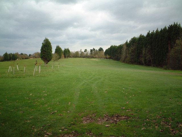
Ashcombe Park is a picturesque public park located in the heart of Somerset, England. Situated just outside the town of Weston-super-Mare, the park covers an area of approximately 37 acres, offering visitors a tranquil and relaxing space to enjoy the great outdoors.
The park boasts a rich history, originally being part of the Ashcombe Estate, which was owned by the Miles family. It was later purchased by the Weston Borough Council in the mid-20th century and transformed into the beautiful park it is today. The park's landscape features a combination of open grasslands, wooded areas, and vibrant flower beds, providing a diverse and inviting environment for both locals and tourists.
One of the key attractions within Ashcombe Park is its stunning ornamental pond, which is home to a variety of ducks, swans, and other waterfowl. The pond offers a serene spot for visitors to sit and enjoy the peaceful ambiance of the park. Additionally, there are several well-maintained pathways that wind their way through the park, perfect for leisurely walks or jogging.
For those seeking recreational activities, the park offers a range of amenities, including a children's play area, a skate park, and a tennis court. These facilities make the park an ideal destination for families and individuals looking to engage in outdoor sports and leisure activities.
Ashcombe Park also hosts a number of community events throughout the year, such as fairs and concerts, adding to its vibrant atmosphere and making it a popular gathering place for locals. With its natural beauty, recreational offerings, and community spirit, Ashcombe Park truly stands as a beloved destination in Somerset.
If you have any feedback on the listing, please let us know in the comments section below.
Ashcombe Park Images
Images are sourced within 2km of 51.354122/-2.954244 or Grid Reference ST3362. Thanks to Geograph Open Source API. All images are credited.


Ashcombe Park is located at Grid Ref: ST3362 (Lat: 51.354122, Lng: -2.954244)
Unitary Authority: North Somerset
Police Authority: Avon and Somerset
What 3 Words
///pose.cloth.image. Near Kewstoke, Somerset
Nearby Locations
Related Wikis
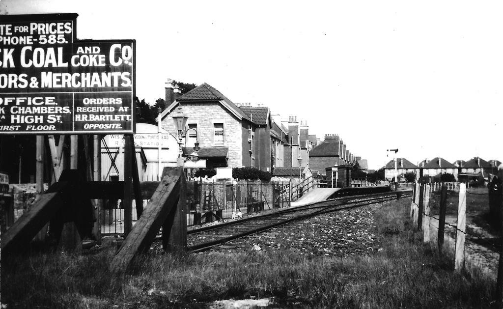
Weston-super-Mare Ashcombe Road railway station
Weston-super-Mare Ashcombe Road railway station served the town of Weston-super-Mare, Somerset, England, from 1897 to 1940 on the Weston, Clevedon and...

Milton Road (Somerset) railway station
Milton Road railway station served the suburb of Milton, North Somerset, England, from 1897 to 1940 on the Weston, Clevedon and Portishead Railway. �...
Winterstoke Hundred Academy
Winterstoke Hundred Academy (formerly North Somerset Enterprise and Technology College) is a coeducational secondary school and sixth form located in Weston...
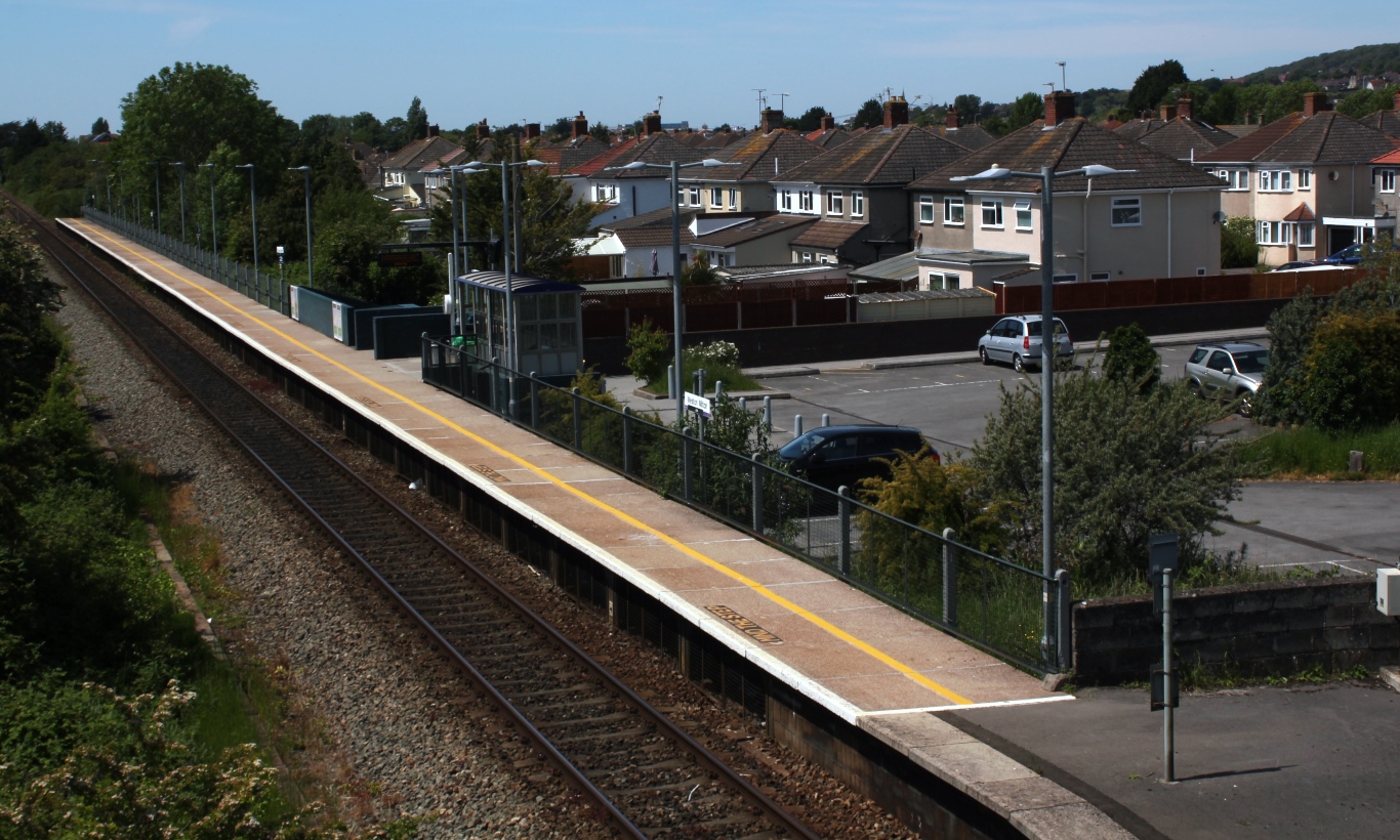
Weston Milton railway station
Weston Milton railway station serves the Milton and Locking Castle areas of Weston-super-Mare in North Somerset, England. It is situated on a loop off...
Lambretta Scooter Museum
The Lambretta Scooter Museum is in Weston-super-Mare, Somerset, England. It houses a total of 61 Lambretta models – at least one from each year between...
Bristol Road railway station
Bristol Road railway station served the village of Worle, North Somerset, England, from 1912 to 1940 on the Weston, Clevedon and Portishead Railway....
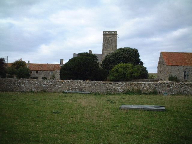
Kewstoke
Kewstoke is a civil parish and village in Somerset, England, within the unitary authority of North Somerset, located next to the strip of coast called...
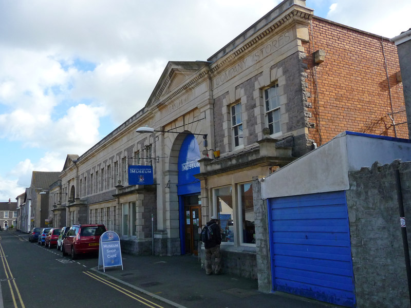
Weston Museum
Weston Museum is a museum in Weston-super-Mare, North Somerset, England. It was established in 1861. and is home to North Somerset Council museum collection...
Nearby Amenities
Located within 500m of 51.354122,-2.954244Have you been to Ashcombe Park?
Leave your review of Ashcombe Park below (or comments, questions and feedback).