Foxcovert Plantation
Wood, Forest in Nottinghamshire Gedling
England
Foxcovert Plantation
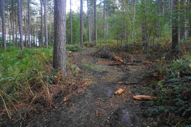
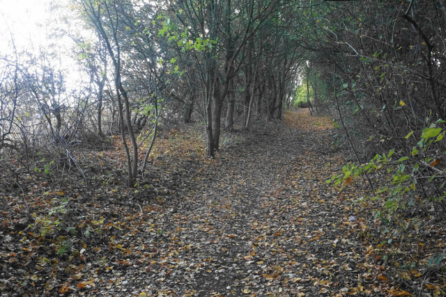
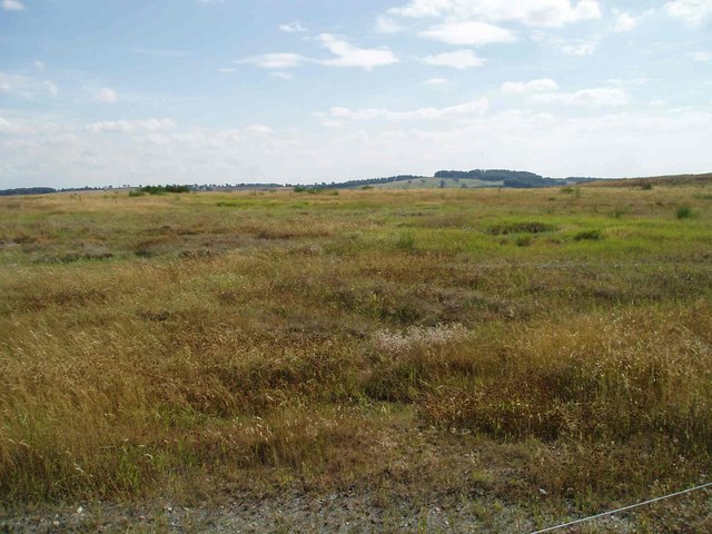
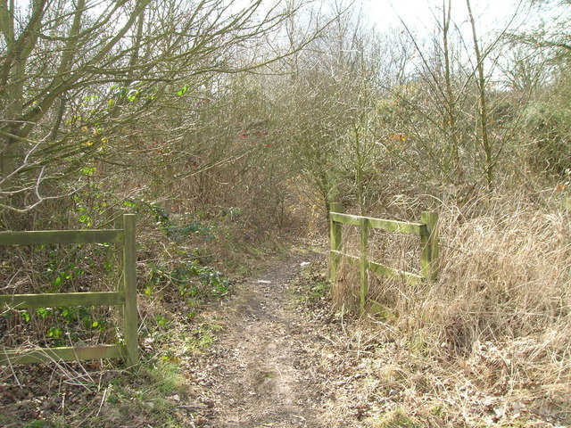
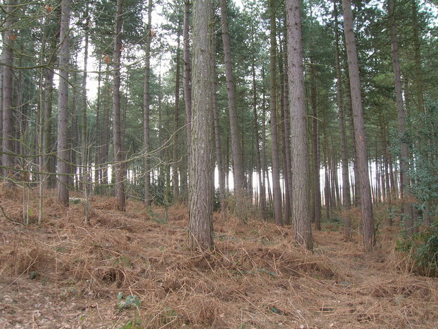
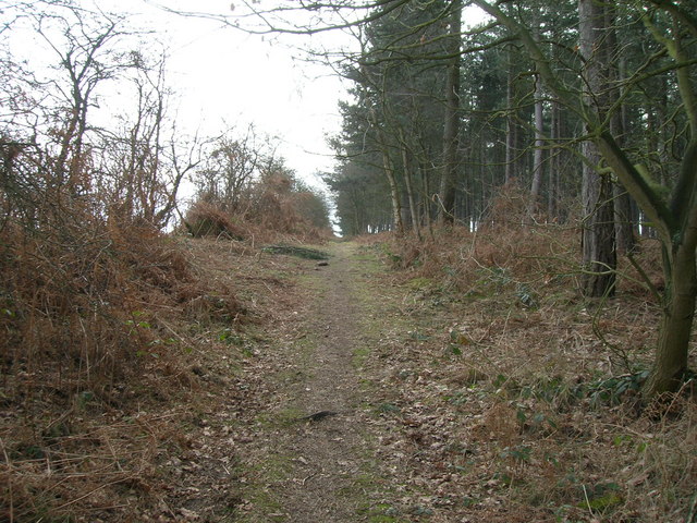
Foxcovert Plantation is a woodland area located in Nottinghamshire, England. Situated in the heart of Sherwood Forest, it covers an expansive area and is well-known for its natural beauty and rich biodiversity. The plantation is characterized by a dense canopy of mature trees, predominantly oak and beech, which provide a sheltered habitat for a variety of flora and fauna.
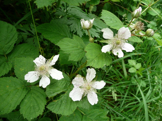
The woodland floor is covered with a thick layer of leaf litter, creating a diverse ecosystem. Foxcovert Plantation boasts a wide range of plant species, including bluebells, primroses, and wild garlic, which carpet the forest floor during the spring months. The diverse plant life also supports an array of wildlife, such as deer, foxes, badgers, and numerous bird species.
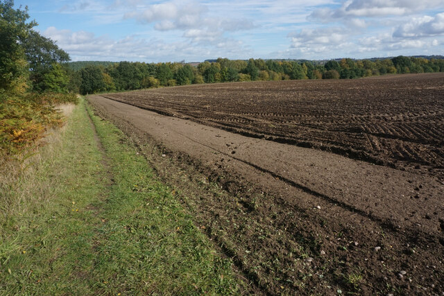
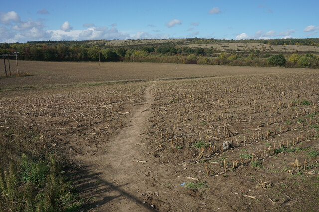
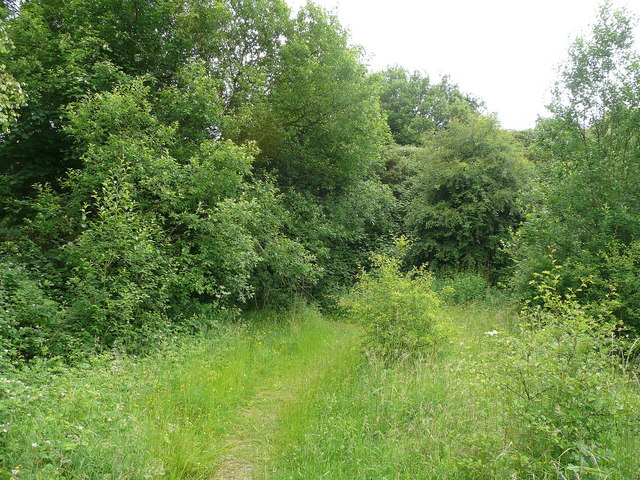
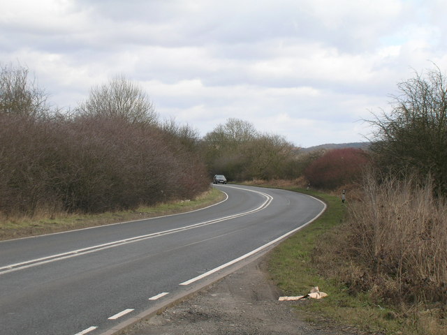
The plantation is a popular destination for nature enthusiasts and hikers due to its extensive network of trails and paths that wind through the woodland. These trails offer visitors the opportunity to explore the plantation's natural wonders and observe its wildlife up close. Additionally, there are designated picnic areas and benches strategically placed throughout the plantation, allowing visitors to rest and enjoy the peaceful surroundings.
Foxcovert Plantation is not only a haven for wildlife and nature lovers, but it also plays a vital role in the local ecosystem. The trees within the plantation act as carbon sinks, absorbing carbon dioxide from the atmosphere and helping to combat climate change. Furthermore, the woodland acts as a natural water filter, purifying rainwater as it passes through the soil, thus contributing to the overall health of the surrounding environment.
Overall, Foxcovert Plantation in Nottinghamshire is a picturesque and ecologically significant woodland area that offers a tranquil retreat for visitors while supporting a diverse range of plant and animal species.
If you have any feedback on the listing, please let us know in the comments section below.
Foxcovert Plantation Images
Images are sourced within 2km of 53.050707/-1.123495 or Grid Reference SK5850. Thanks to Geograph Open Source API. All images are credited.

Foxcovert Plantation is located at Grid Ref: SK5850 (Lat: 53.050707, Lng: -1.123495)
Administrative County: Nottinghamshire
District: Gedling
Police Authority: Nottinghamshire
What 3 Words
///carefully.argued.salsa. Near Calverton, Nottinghamshire
Nearby Locations
Related Wikis

Arnold Town F.C.
Arnold Town Football Club is a football club based in Arnold, Nottinghamshire, England. They are currently members of the Central Midlands League South...

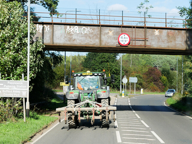
Papplewick Pumping Station
Papplewick Pumping Station, situated in open agricultural land approximately 3 miles (4.8 km) by road from the Nottinghamshire village of Papplewick, was...
Calverton Miners' Welfare F.C.
Calverton Miners' Welfare Football Club is an association football club in Calverton, near Nottingham, Nottinghamshire, England. They are currently members...

Sherwood (UK Parliament constituency)
Sherwood is a constituency represented in the House of Commons of the UK Parliament since 2010 by Mark Spencer, a Conservative. The constituency's name...
Have you been to Foxcovert Plantation?
Leave your review of Foxcovert Plantation below (or comments, questions and feedback).