Rush Down
Wood, Forest in Berkshire
England
Rush Down
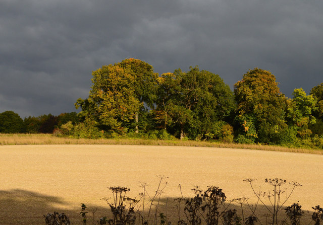
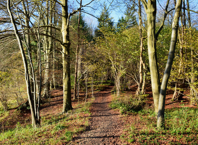
Rush Down, Berkshire, located in the southern region of England, is a picturesque woodland area known for its abundant natural beauty and captivating landscapes. Situated within the larger Berkshire Forest, Rush Down is a popular destination for outdoor enthusiasts and nature lovers alike.
Covering an area of approximately 500 acres, Rush Down is characterized by its dense and diverse woodlands, which are home to a wide array of plant and animal species. The forest is dominated by a mixture of deciduous and coniferous trees, creating a rich and vibrant ecosystem. Visitors can expect to encounter towering oak, beech, and pine trees, providing a serene and tranquil atmosphere.
The woodland is crisscrossed by a network of well-maintained trails, making it an ideal location for hiking, walking, and cycling. Additionally, Rush Down offers ample opportunities for bird watching, with various resident and migratory species frequenting the area. Nature enthusiasts may catch a glimpse of woodpeckers, owls, or even the elusive red kite.
Rush Down is also home to a small lake, providing a scenic spot for picnics or fishing. The lake is well-stocked with fish, including carp and pike, attracting anglers of all skill levels.
For those seeking a peaceful retreat or a chance to reconnect with nature, Rush Down, Berkshire offers an idyllic setting. Its stunning woodlands, diverse wildlife, and range of activities make it a truly enchanting destination for outdoor enthusiasts and nature lovers alike.
If you have any feedback on the listing, please let us know in the comments section below.
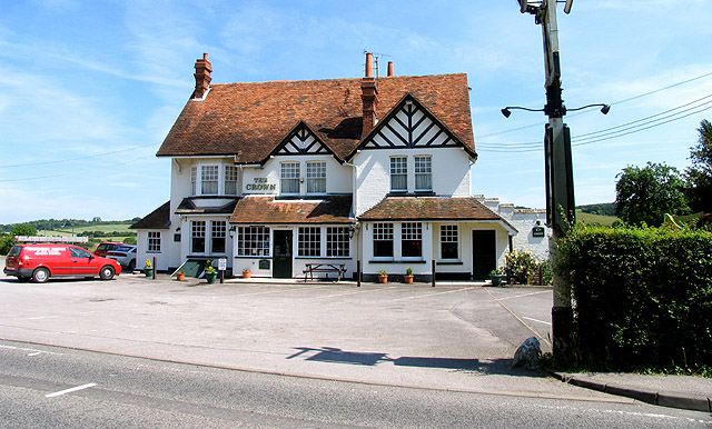
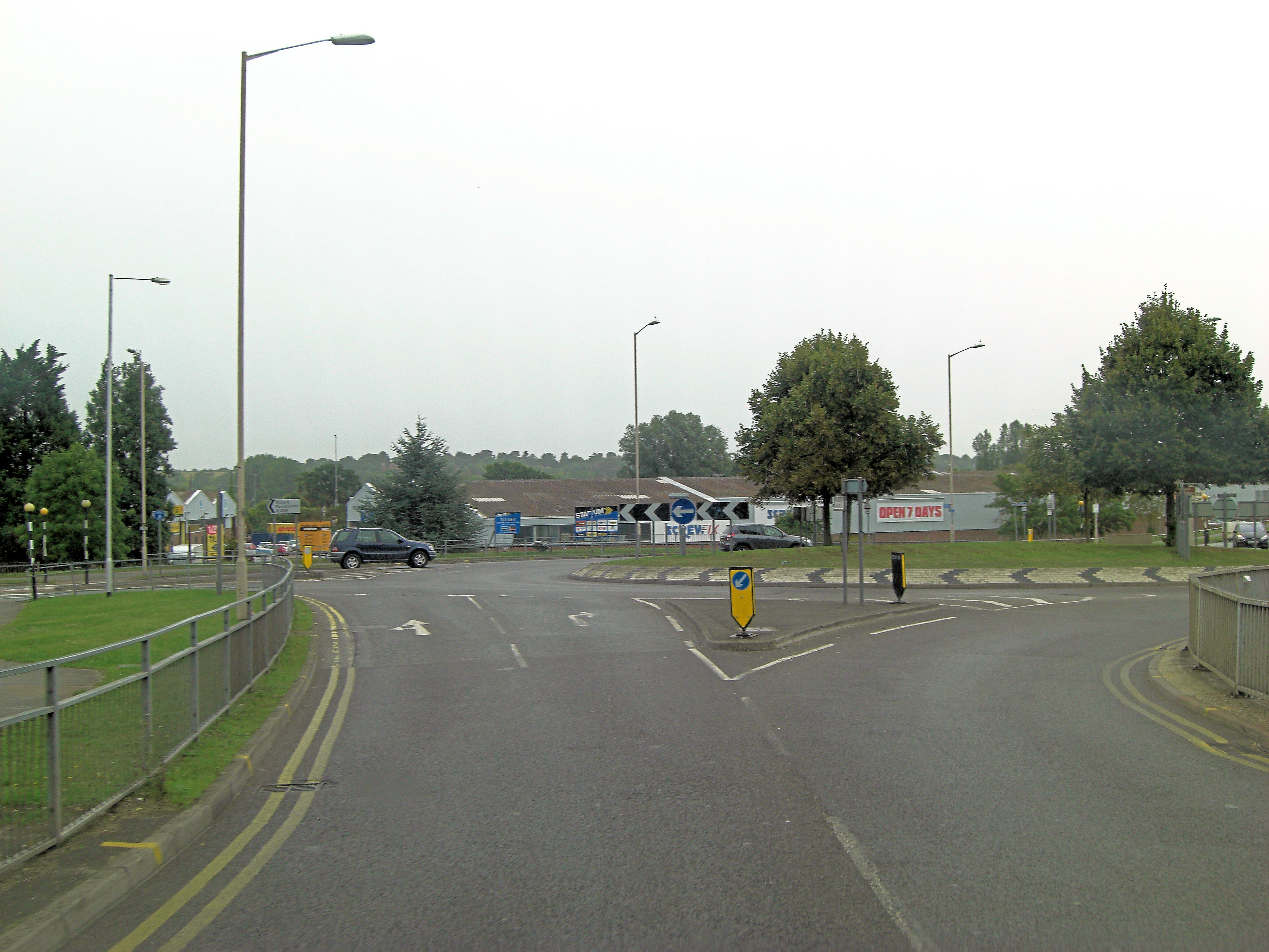
Rush Down Images
Images are sourced within 2km of 51.486611/-1.1538596 or Grid Reference SU5876. Thanks to Geograph Open Source API. All images are credited.


Rush Down is located at Grid Ref: SU5876 (Lat: 51.486611, Lng: -1.1538596)
Unitary Authority: West Berkshire
Police Authority: Thames Valley
What 3 Words
///crop.sorry.crabmeat. Near Upper Basildon, Berkshire
Nearby Locations
Related Wikis

Upper Basildon
Upper Basildon is a small village in the civil parish of Basildon (where the United Kingdom 2011 Census population is included), near to Pangbourne, in...
Basildon, Berkshire
Basildon is a civil parish in the English county of Berkshire. It comprises the small villages of Upper Basildon and Lower Basildon, named for their respective...

Ashampstead Common
Ashampstead Common is a common in the English county of Berkshire, within the civil parish of Ashampstead. The common lies north of the M4 motorway, near...

Ashampstead
Ashampstead is a small village and civil parish in the rural area between Reading, Newbury and Streatley in Berkshire, England. The parish population is...

Basildon Park
Basildon Park is a country house situated 2 miles (3 kilometres) south of Goring-on-Thames and Streatley in Berkshire, between the villages of Upper Basildon...

St Andrew's School, Pangbourne
St Andrew's School is an independent preparatory school in the hamlet of Buckhold, near Pangbourne, Berkshire, England. Together with its 'Pre-Prep – Early...
Lower Basildon
Lower Basildon is a small English village in the civil parish of Basildon, near Pangbourne, in the county of Berkshire. == Amenities == === Shops and... ===
A329 road
The A329 is an east–west road in Southern England that runs from Wentworth in Surrey to Thame in Oxfordshire. == Route == The A329 starts at the A30 in...
Nearby Amenities
Located within 500m of 51.486611,-1.1538596Have you been to Rush Down?
Leave your review of Rush Down below (or comments, questions and feedback).