The Belt
Wood, Forest in Nottinghamshire Gedling
England
The Belt
The Belt, Nottinghamshire, also known as Wood or Forest, is a picturesque area located in the county of Nottinghamshire, England. The Belt is an extensive woodland covering a vast area of approximately 300 acres. It is situated near the town of Mansfield, surrounded by the villages of Clipstone, Blidworth, and Edwinstowe.
The woodland is predominantly made up of deciduous trees such as oak, beech, and birch, creating a stunning landscape that changes with the seasons. The Belt is known for its rich biodiversity, providing a habitat for a wide range of wildlife including deer, foxes, badgers, and various species of birds.
The area is popular among nature enthusiasts, hikers, and birdwatchers who can explore the numerous walking trails and paths that wind through the woodland. The Belt offers a tranquil and peaceful escape from the hustle and bustle of urban life, providing a serene environment for relaxation and reflection.
Historically, The Belt played a significant role in the local community, serving as a source of timber and fuel for the nearby villages. Today, it is a protected area managed by the Forestry Commission, ensuring the preservation and conservation of the woodland for future generations.
Visitors can enjoy various activities in The Belt, including picnicking, wildlife spotting, and photography. The area is also home to a visitor center where individuals can learn more about the history, ecology, and management of the woodland.
Overall, The Belt, Nottinghamshire is a cherished natural gem, offering a unique and beautiful woodland experience for visitors to enjoy and appreciate.
If you have any feedback on the listing, please let us know in the comments section below.
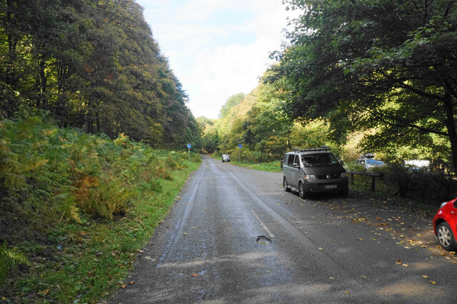
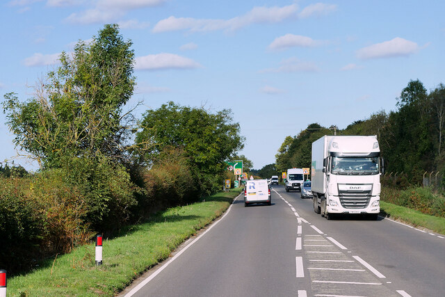
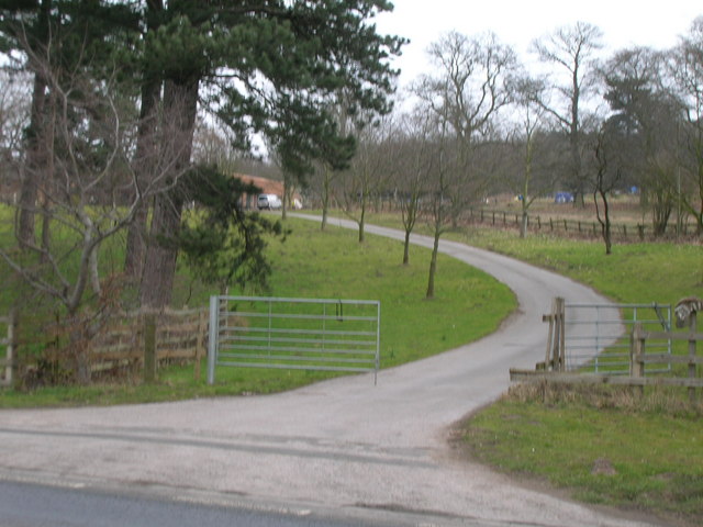
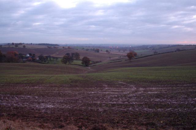
The Belt Images
Images are sourced within 2km of 53.030246/-1.1282192 or Grid Reference SK5848. Thanks to Geograph Open Source API. All images are credited.


The Belt is located at Grid Ref: SK5848 (Lat: 53.030246, Lng: -1.1282192)
Administrative County: Nottinghamshire
District: Gedling
Police Authority: Nottinghamshire
What 3 Words
///dined.intend.family. Near Calverton, Nottinghamshire
Nearby Locations
Related Wikis

Bestwood Pumping Station
Bestwood Pumping Station was a water pumping station operating in Nottinghamshire from 1874 until 1964. == History == Bestwood Pumping Station was built...

Arnold Town F.C.
Arnold Town Football Club is a football club based in Arnold, Nottinghamshire, England. They are currently members of the Central Midlands League South...
Dorket Head
Dorket Head is the name of the immediate area surrounding the junction of Lime Lane and Calverton Road in the town of Arnold, Nottinghamshire. It is the...

Redhill, Nottinghamshire
Redhill () is a small community forming part of the much larger town of Arnold in Nottinghamshire, England. It is approximately 4 miles (6.4 km) north...
Calverton Miners' Welfare F.C.
Calverton Miners' Welfare Football Club is an association football club in Calverton, near Nottingham, Nottinghamshire, England. They are currently members...
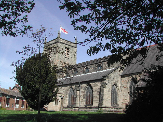
St Mary's Church, Arnold
St. Mary's Church is a parish church in Arnold, Nottinghamshire, England. Though there is no official founding date, it is estimated that the church dates...
Redhill Academy
Redhill Academy is a secondary school and sixth form with academy status, situated on Redhill Road in Arnold, Nottinghamshire, England. The school has...

St Albans, Nottinghamshire
St. Albans is a civil parish in the Gedling borough of Nottinghamshire, England. It was part of the wider Bestwood St. Albans parish, which ceased to exist...
Nearby Amenities
Located within 500m of 53.030246,-1.1282192Have you been to The Belt?
Leave your review of The Belt below (or comments, questions and feedback).