Cliff Spinney
Wood, Forest in Leicestershire Charnwood
England
Cliff Spinney

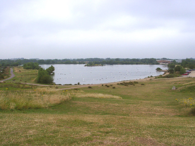
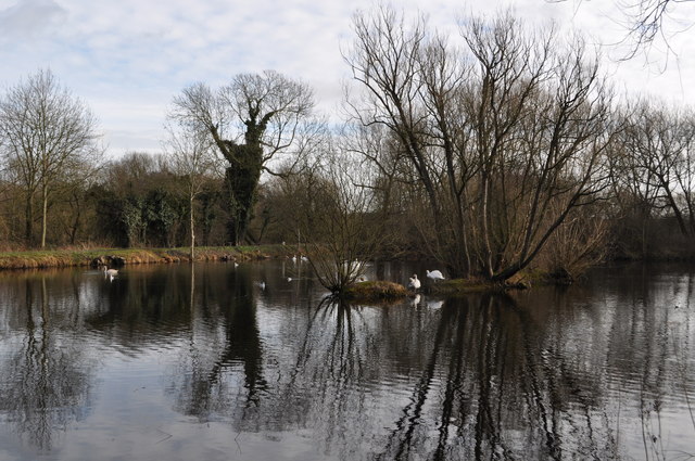
Cliff Spinney, located in Leicestershire, is a picturesque woodland area known for its natural beauty and serene atmosphere. This enchanting forest is situated in the heart of the English countryside and offers a tranquil retreat for nature lovers and outdoor enthusiasts.
Covering an area of approximately 50 acres, Cliff Spinney is characterized by its dense vegetation, towering trees, and diverse wildlife. The woodland boasts a rich variety of flora and fauna, with ancient oaks, beeches, and birches adorning the landscape. These majestic trees create a dense canopy, casting dappled light onto the forest floor and providing a habitat for a range of woodland creatures.
Visitors to Cliff Spinney can explore the numerous winding paths and hiking trails that crisscross the woodland, allowing for an immersive and invigorating experience. The forest is also home to a variety of wildlife, including deer, foxes, badgers, and a plethora of bird species, making it a popular spot for birdwatchers and wildlife enthusiasts.
One of the standout features of Cliff Spinney is its tranquil atmosphere, offering a peaceful escape from the hustle and bustle of everyday life. The sounds of birdsong and the rustling of leaves in the gentle breeze create a soothing ambiance, perfect for those seeking solace in nature.
Cliff Spinney is easily accessible, located just a short distance from the town of Leicestershire. Its natural beauty and peaceful surroundings make it an ideal destination for a leisurely stroll, a family picnic, or simply to reconnect with nature.
If you have any feedback on the listing, please let us know in the comments section below.
Cliff Spinney Images
Images are sourced within 2km of 52.679943/-1.1351491 or Grid Reference SK5809. Thanks to Geograph Open Source API. All images are credited.


Cliff Spinney is located at Grid Ref: SK5809 (Lat: 52.679943, Lng: -1.1351491)
Administrative County: Leicestershire
District: Charnwood
Police Authority: Leicestershire
What 3 Words
///same.traded.link. Near Rothley, Leicestershire
Nearby Locations
Related Wikis
Thurcaston
Thurcaston is a village and former civil parish, now in the parish of Thurcaston and Cropston, in the Charnwood district, in Leicestershire, England. It...

Stonehill High School
The Stonehill High School was an 11-14 middle school in Birstall Leicestershire which was adjacent to the former Longslade Community College which took...

The Cedars Academy
The Cedars Academy is a co-educational secondary school and sixth form located in Birstall in the English county of Leicestershire. == History == The school...
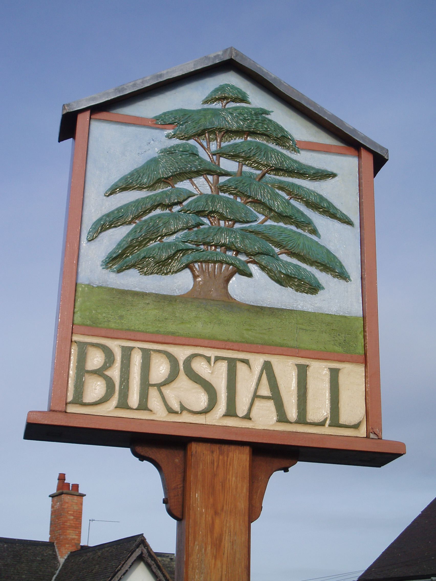
Birstall, Leicestershire
Birstall is a large village and civil parish within the Charnwood borough of Leicestershire, England. It is three miles north of Leicester city centre...
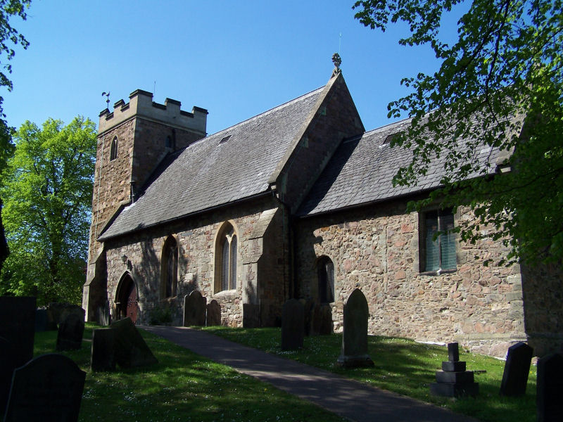
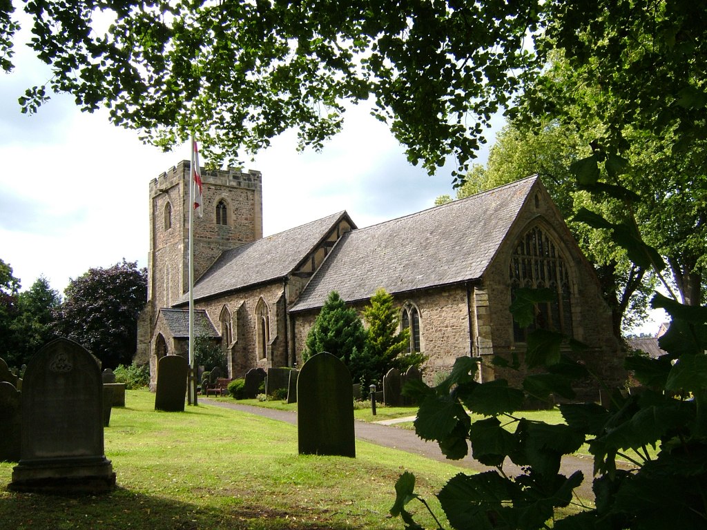
Church of St James the Great, Birstall
The Church of St James the Great is a church in Birstall, Leicestershire. It is a Grade II listed building. == History == The church dates from the Early...

Belgrave and Birstall railway station
Belgrave and Birstall railway station was a railway station opened by the Great Central Railway in 1899. It served the villages of Belgrave and Birstall...
Birstall United F.C.
Birstall United Football Club is a football club based in Birstall, near Leicester, in Leicestershire, England. The club are currently members of the United...

Red Hill filling station
The Red Hill filling station on the west of the A6, Loughborough Road, approximately 300 metres (980 ft) north of Red Hill Circle in Birstall near Leicester...
Nearby Amenities
Located within 500m of 52.679943,-1.1351491Have you been to Cliff Spinney?
Leave your review of Cliff Spinney below (or comments, questions and feedback).