Burnt Covert
Wood, Forest in Oxfordshire Cherwell
England
Burnt Covert
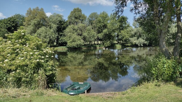
Burnt Covert is a small woodland located in Oxfordshire, England. Situated near the village of Wood, it is a popular destination for nature enthusiasts and those seeking a peaceful retreat in the heart of a forested area.
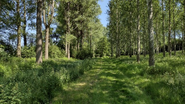
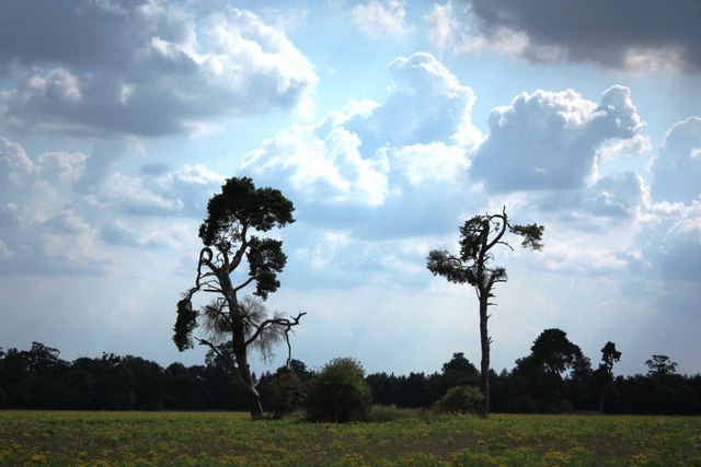
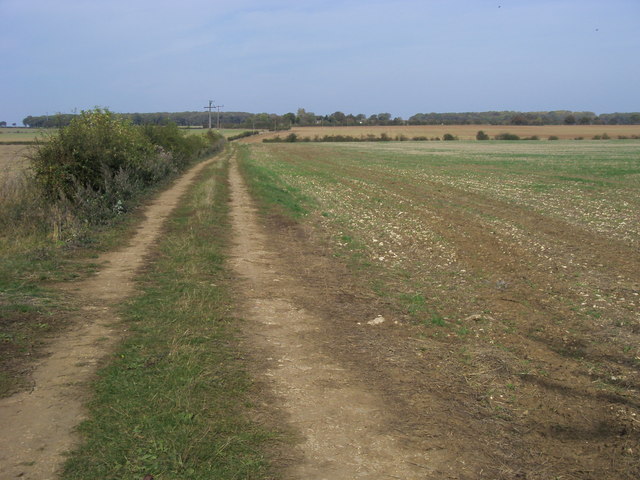
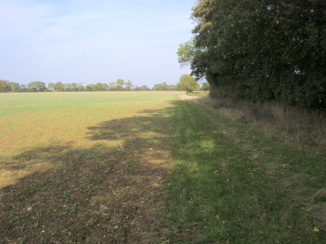
Covering an area of approximately 50 acres, Burnt Covert is predominantly composed of deciduous trees such as oak, beech, and birch. These trees create a dense canopy, providing a cool and shaded environment during the summer months. The forest floor is covered in a thick layer of leaf litter, creating a natural habitat for a variety of small mammals, insects, and fungi.
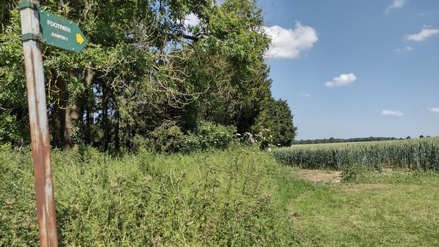
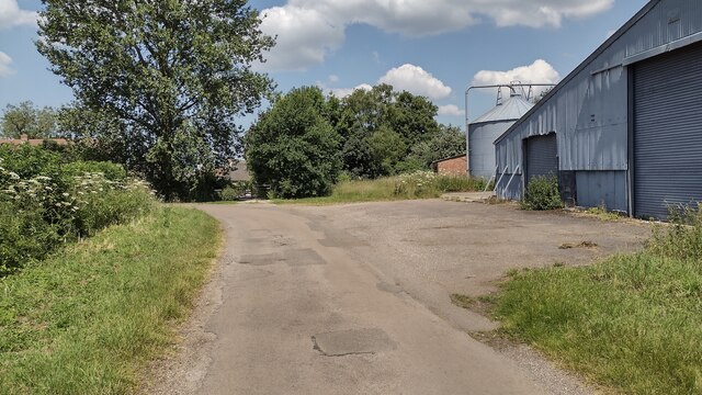
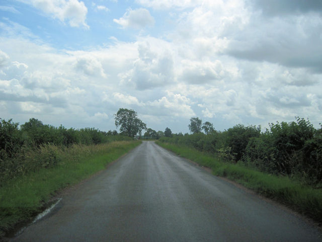
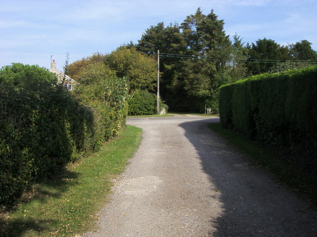
The woodland is crisscrossed with several well-maintained footpaths, allowing visitors to explore its beauty and discover its hidden treasures. Along these paths, one can find wildflowers, ferns, and various species of birds and butterflies. There are also several designated picnic areas and benches where visitors can rest and enjoy the tranquility of their surroundings.
Burnt Covert is managed by the Oxfordshire Wildlife Trust, ensuring the preservation of its natural beauty and biodiversity. The trust also organizes educational programs and guided walks to raise awareness about the importance of conservation and sustainable practices.
Overall, Burnt Covert offers a serene and enchanting escape from the hustle and bustle of everyday life. Whether you are a nature lover, a hiker, or simply seeking solace in the embrace of nature, this woodland provides a delightful experience for all.
If you have any feedback on the listing, please let us know in the comments section below.
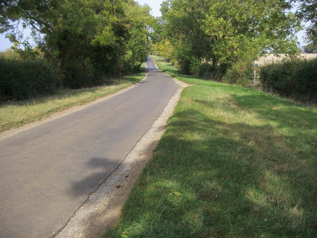
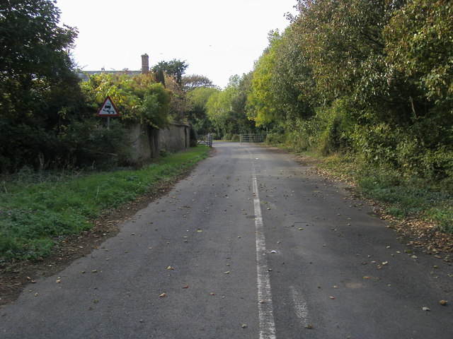
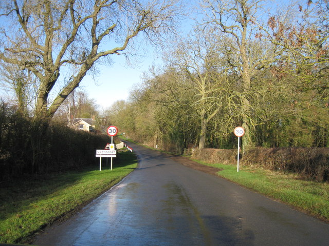
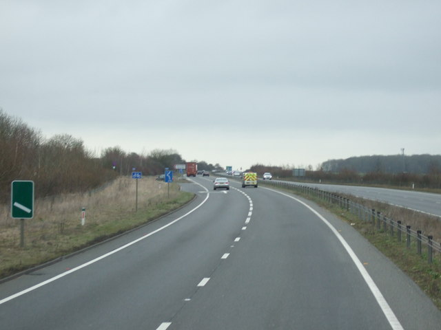
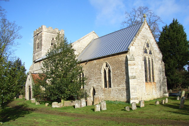
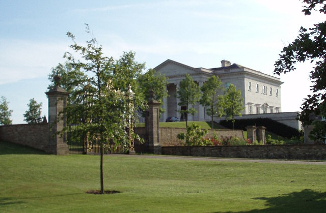
Burnt Covert Images
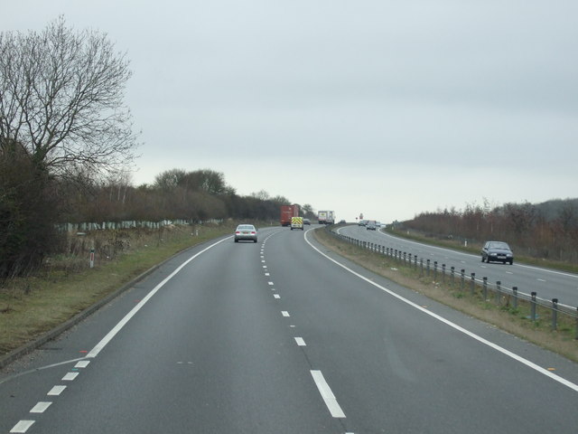
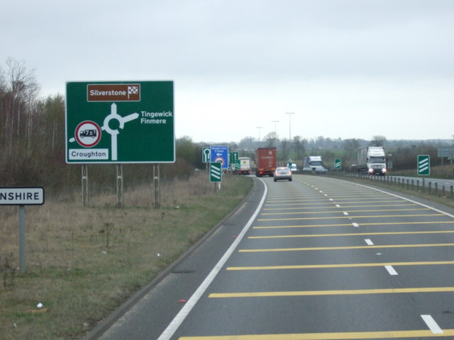
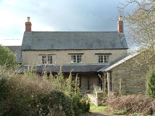
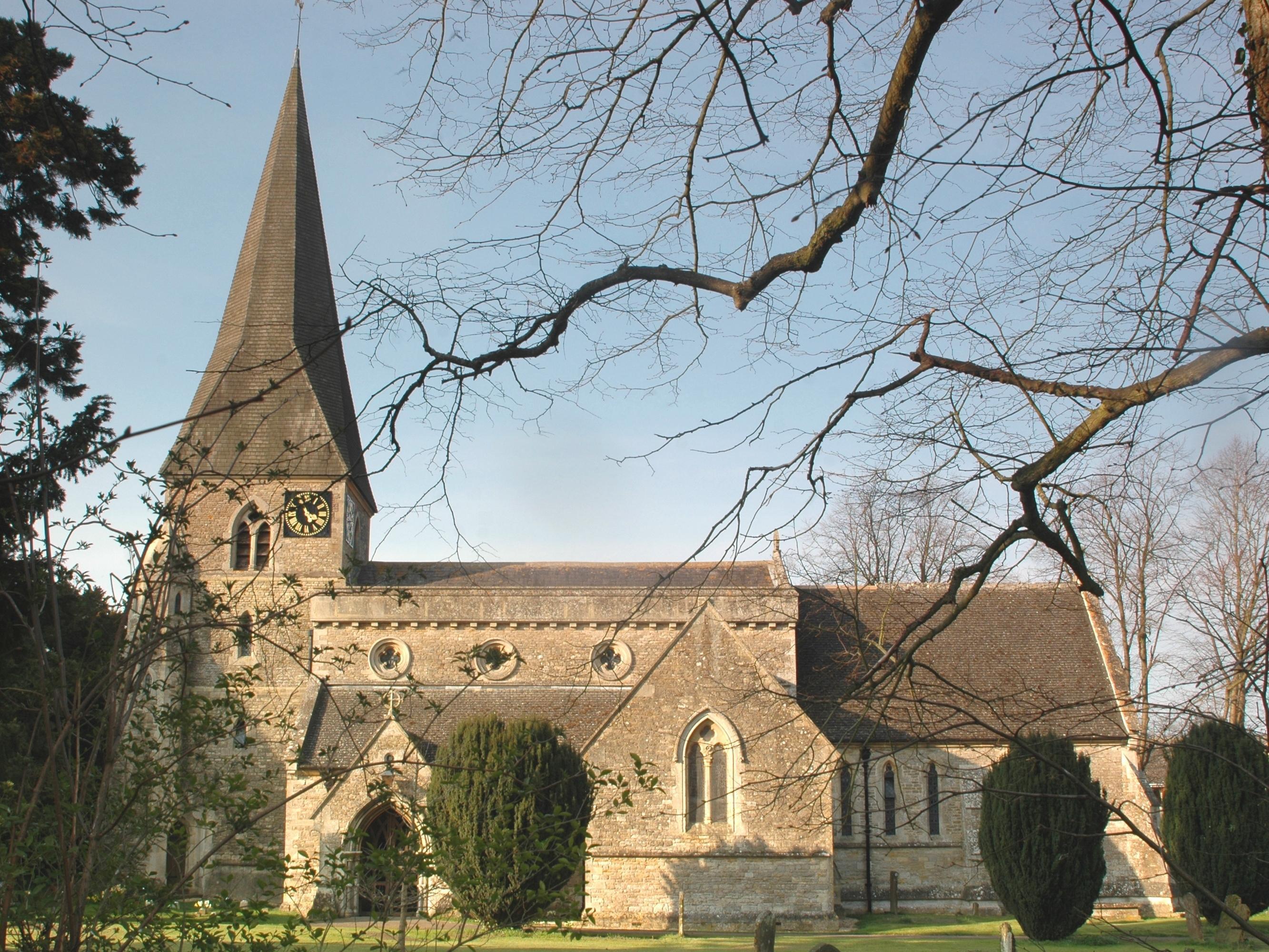
Images are sourced within 2km of 51.987786/-1.1486001 or Grid Reference SP5832. Thanks to Geograph Open Source API. All images are credited.
Burnt Covert is located at Grid Ref: SP5832 (Lat: 51.987786, Lng: -1.1486001)
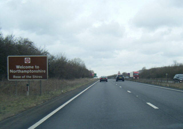
Administrative County: Oxfordshire
District: Cherwell
Police Authority: Thames Valley
What 3 Words
///score.duos.trump. Near Brackley, Northamptonshire
Nearby Locations
Related Wikis
Juniper Hill
Juniper Hill is a hamlet in the civil parish of Cottisford in Oxfordshire, England, 2 miles (3.2 km) south of Brackley in neighbouring Northamptonshire...

Cottisford
Cottisford is a village and civil parish in Oxfordshire, about 3.5 miles (5.6 km) south of Brackley in neighbouring Northamptonshire. The parish's northern...
Evenley
Evenley is a village and civil parish just over 1 mile (1.6 km) south of Brackley in West Northamptonshire, England. The 2011 Census recorded the parish...

RAF Croughton
Royal Air Force Croughton or more simply RAF Croughton is a Royal Air Force station which is currently a United States Air Force communications station...

Hardwick with Tusmore
Hardwick with Tusmore is a civil parish in Oxfordshire, England. It was formed in 1932 by merger of the parishes of Hardwick (grid reference SP5729) and...
Beaumont Castle
Beaumont Castle was a medieval castle in Mixbury, Oxfordshire, England, located at grid reference SP610140. == History == Beaumont Castle was a possible...
Mixbury
Mixbury is a village and civil parish in Oxfordshire, about 2.5 miles (4 km) southeast of Brackley in Northamptonshire. == Manor == The toponym is derived...
Tusmore, Oxfordshire
Tusmore is a settlement about 5+1⁄2 miles (9 km) north of Bicester in Oxfordshire. It is the location of the Tusmore country house and estate. == Manor... ==
Nearby Amenities
Located within 500m of 51.987786,-1.1486001Have you been to Burnt Covert?
Leave your review of Burnt Covert below (or comments, questions and feedback).