Copley Spring Wood

Wood, Forest in Yorkshire

England

Copley Spring Wood

Eden Drive, Askern (1)
Eden Drive, Askern (1) Credit: Richard Vince

Copley Spring Wood, located in the county of Yorkshire, is a picturesque woodland area that offers a tranquil escape from the hustle and bustle of everyday life. Spanning over a vast expanse, the wood is a haven for nature enthusiasts and outdoor adventurers alike.

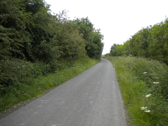
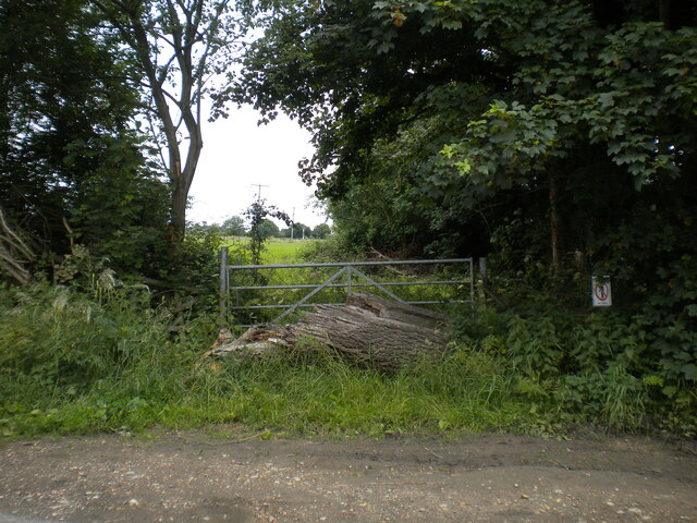
The wood is characterized by its dense foliage, consisting primarily of oak, beech, and birch trees. These towering giants provide a lush canopy and create a serene atmosphere, perfect for leisurely walks and exploration. The forest floor is adorned with a rich carpet of wildflowers, adding bursts of color to the natural landscape.

Numerous walking trails wind their way through Copley Spring Wood, allowing visitors to fully immerse themselves in its beauty. These paths vary in difficulty, catering to both casual strollers and more avid hikers. Along the way, one might encounter various wildlife species, including deer, squirrels, and a wide variety of birdlife.

The wood is also home to a small stream that meanders through its heart, adding to the tranquility of the surroundings. The babbling brook provides a soothing soundtrack, inviting visitors to relax and appreciate the serene ambiance.

Copley Spring Wood is a popular destination for nature lovers and outdoor enthusiasts alike. Its idyllic setting, diverse flora and fauna, and peaceful atmosphere make it a perfect retreat for anyone seeking solace in the beauty of nature.

If you have any feedback on the listing, please let us know in the comments section below.

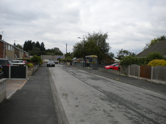
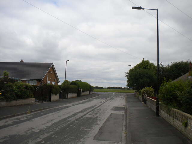
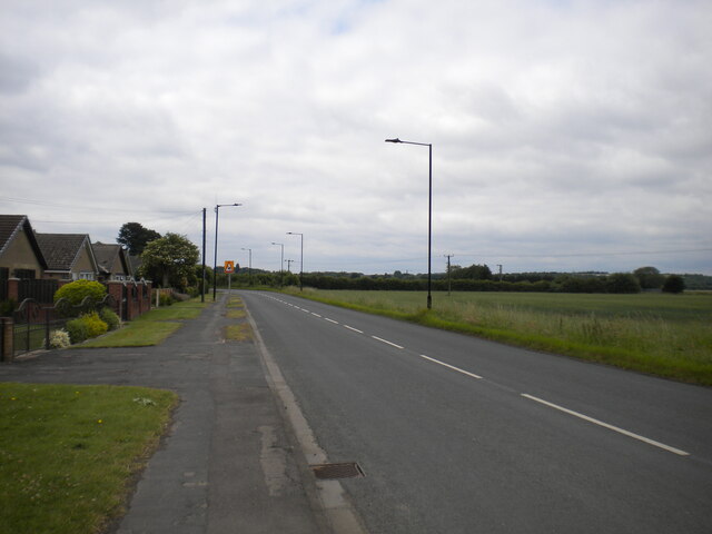
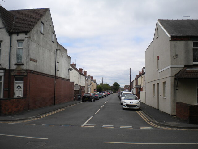
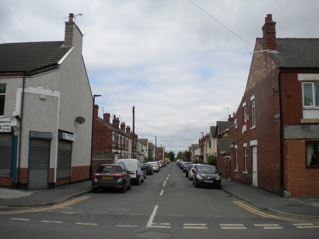
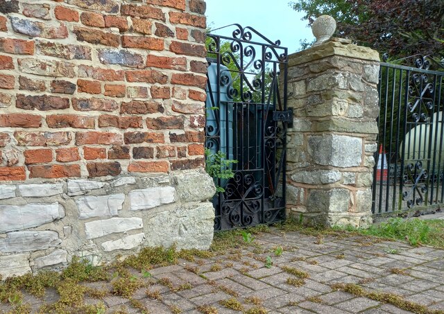
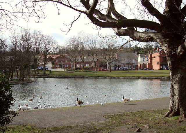
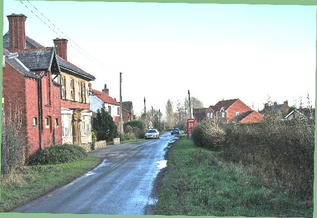
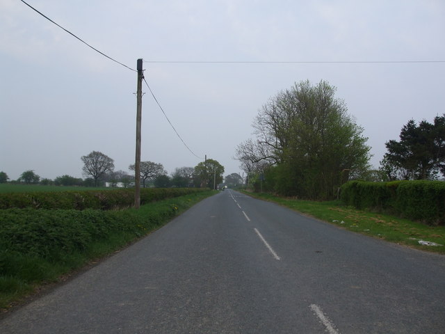
Copley Spring Wood Images

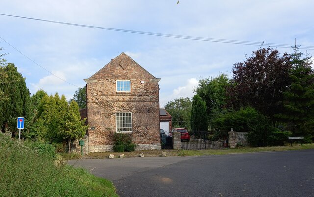
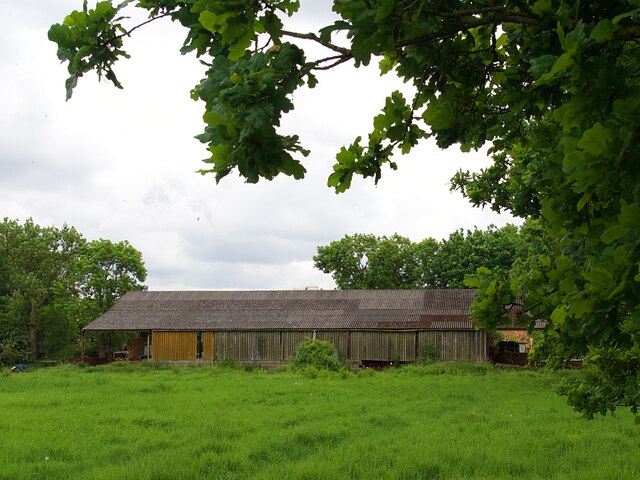
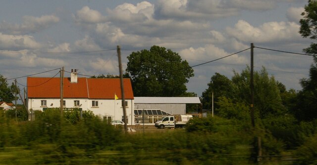
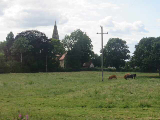
Images are sourced within 2km of 53.617866/-1.1161772 or Grid Reference SE5813. Thanks to Geograph Open Source API. All images are credited.

Eden Drive, Askern (1)
Eden Drive, Askern (2) Approaching Moss Road at the eastern extremity of the town.
Eden Drive, Askern (2)
Approaching Moss Road at the eastern extremity of the town.
Fenwick Lane, Askern Heading into farmland to the north east of the town.
Fenwick Lane, Askern
Heading into farmland to the north east of the town.
Obstructed gate off Fenwick Lane, Askern Someone really doesn't want the gate to be opened.
Obstructed gate off Fenwick Lane, Askern
Someone really doesn't want the gate to be opened.
Moss Road entering Askern Separating the houses at the eastern edge of the town (left) from farmland.
Moss Road entering Askern
Separating the houses at the eastern edge of the town (left) from farmland.
Sunnymede Avenue, Askern Off Moss Road.
Sunnymede Avenue, Askern
Off Moss Road.
Queen's Road, Askern Off Moss Road at the eastern edge of the town centre.
Queen's Road, Askern
Off Moss Road at the eastern edge of the town centre.
Haywood, Dove Cottage The benchmark is cut into the south-east facing wall of Dove Cottage.
Haywood, Dove Cottage
The benchmark is cut into the south-east facing wall of Dove Cottage.
Haywood, Dove Cottage A wider angle showing south-east facing wall of Dove Cottage. There is a benchmark cut into the bottom right cornerstone.
Haywood, Dove Cottage
A wider angle showing south-east facing wall of Dove Cottage. There is a benchmark cut into the bottom right cornerstone.
Barn at Rushy Moor House
The Star Inn, Moss, as seen from the railway
Cottage on Trumfleet Lane Looking along Trumfleet Lane north of Wrancarr Lane. The road forms part of National Cycle Network route 62.
Cottage on Trumfleet Lane
Looking along Trumfleet Lane north of Wrancarr Lane. The road forms part of National Cycle Network route 62.
Church in the trees  Church of All Saints at Haywood. It was built in 1875, Grade II listed in 1987 <span class="nowrap"><a title="https://historicengland.org.uk/listing/the-list/list-entry/1192733?section=official-list-entry" rel="nofollow ugc noopener" href="https://historicengland.org.uk/listing/the-list/list-entry/1192733?section=official-list-entry">Link</a><img style="margin-left:2px;" alt="External link" title="External link - shift click to open in new window" src="https://s1.geograph.org.uk/img/external.png" width="10" height="10"/></span> , disused as a church for some time and now used as a residence.
Church in the trees
Church of All Saints at Haywood. It was built in 1875, Grade II listed in 1987 LinkExternal link , disused as a church for some time and now used as a residence.
Field and Barn at Moss Lodge Just south of Barcoft Level Crossing at Haywood, on the East Coast Mainline.
Field and Barn at Moss Lodge
Just south of Barcoft Level Crossing at Haywood, on the East Coast Mainline.
Moss Lodge on Barcroft Lane At the Barcroft Level Crossing on the East Coast Mainline. I wonder if the X50 sign indicates  the end of a 50 mph speed limit on the level crossing? I have not been able to confirm that suggestion.
Moss Lodge on Barcroft Lane
At the Barcroft Level Crossing on the East Coast Mainline. I wonder if the X50 sign indicates the end of a 50 mph speed limit on the level crossing? I have not been able to confirm that suggestion.
Grass field at Moss Carrs Looking west from the East Coast Mainline.
Grass field at Moss Carrs
Looking west from the East Coast Mainline.
Ripening wheat
Ripening wheat
Wheat, Wrancarr
Wheat, Wrancarr
Show me another place!

Copley Spring Wood is located at Grid Ref: SE5813 (Lat: 53.617866, Lng: -1.1161772)

Division: West Riding

Unitary Authority: Doncaster

Police Authority: South Yorkshire

What 3 Words

///stealthier.avoid.kneeled. Near Moss, South Yorkshire

Related Wikis

Moss railway station

Moss railway station served the village of Moss, South Yorkshire, England from 1871 to 1953 on the East Coast Main Line. == History == The station opened...

Moss, South Yorkshire

Moss is a village and civil parish in the City of Doncaster in South Yorkshire, England. The population of the parish at the 2011 Census was 389, an increase...

Askern railway station

Askern railway station was a station on the Askern branch line of the former Lancashire & Yorkshire Railway between Doncaster and Knottingley. It served...

Askern

Askern () is a town and civil parish within the City of Doncaster, in South Yorkshire, England. It is on the A19 road between Doncaster and Selby. Historically...

Norton & Askern (ward)

Norton & Askern—consisting of the town of Askern, Braithwaite, Burghwallis, Campsall, Fenwick, Fishlake, Fosterhouses, Kirk Bramwith, Moss, Norton, Owston...

Fenwick, South Yorkshire

Fenwick is a small village and civil parish in the City of Doncaster, South Yorkshire, England, on the border with North Yorkshire. It was part of the...

Pincheon Green

Pincheon Green is a hamlet in the Metropolitan Borough of Doncaster in South Yorkshire, England. It lies in the civil parish of Sykehouse, on the border...

Thorpe in Balne

Thorpe in Balne is a village and civil parish in the Metropolitan Borough of Doncaster in South Yorkshire, England. It had a population of 176 at the...

Nearby Amenities

Located within 500m of 53.617866,-1.1161772
Railway: level_crossing
Lat/Long: 53.6176392/-1.11369
Railway: level_crossing
Lat/Long: 53.617621/-1.1137608
Railway: crossing
Lat/Long: 53.6142153/-1.1143053
Railway: crossing
Lat/Long: 53.614222/-1.1143726
Railway: crossing
Lat/Long: 53.6208204/-1.1131808
Railway: crossing
Lat/Long: 53.6208157/-1.1131121
The data included in this document is from www.openstreetmap.org. The data is made available under ODbL.

Have you been to Copley Spring Wood?

Leave your review of Copley Spring Wood below (or comments, questions and feedback).