Christ Church Covert
Wood, Forest in Yorkshire Hambleton
England
Christ Church Covert

Christ Church Covert is a serene and enchanting woodland located in the picturesque region of Yorkshire, England. Nestled amidst the verdant landscape, this ancient forest is a captivating destination for nature enthusiasts and history buffs alike. Covering an extensive area, Christ Church Covert is renowned for its rich biodiversity and breathtaking natural beauty.
The woodland is home to a diverse array of flora and fauna, with majestic oak, beech, and birch trees dominating the landscape. The forest floor is adorned with a colorful carpet of wildflowers during the spring and summer months. Birdsong fills the air, as various species of birds including woodpeckers, owls, and thrushes make their homes here.
Steeped in history, Christ Church Covert boasts a fascinating past. It is said that the forest was initially part of the hunting grounds of the medieval nobility, and remnants of ancient hunting lodges can still be found within its depths. The woodland also played a significant role during the English Civil War, serving as a hideout for local rebels.
Visitors to Christ Church Covert can explore a network of well-maintained walking trails, allowing them to immerse themselves in the tranquil ambiance of the woodland. The forest offers a peaceful retreat from the hustle and bustle of modern life, with opportunities for solitude and reflection. It is a popular spot for picnics, photography, and simply reconnecting with nature.
Overall, Christ Church Covert is a captivating woodland destination that offers a unique blend of natural beauty and historical significance. Whether seeking tranquility or adventure, visitors are sure to find solace and inspiration within its mystical embrace.
If you have any feedback on the listing, please let us know in the comments section below.
Christ Church Covert Images
Images are sourced within 2km of 54.461233/-1.1044942 or Grid Reference NZ5807. Thanks to Geograph Open Source API. All images are credited.

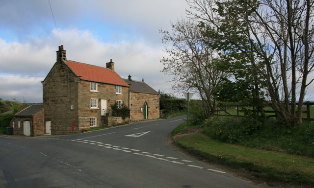
![Footpath towards Drummer Hill Farm The path [number 10.75/1] begins as a lane off the nearby road, but soon does a 90 degree turn to the left to approach Drummer Hill Farm.](https://s0.geograph.org.uk/geophotos/07/05/88/7058844_57e45f86.jpg)


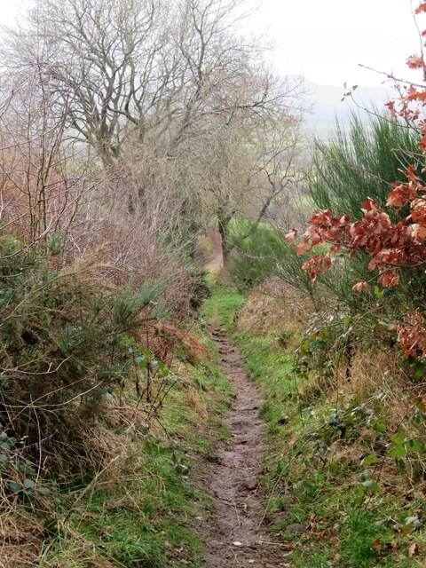


Christ Church Covert is located at Grid Ref: NZ5807 (Lat: 54.461233, Lng: -1.1044942)
Division: North Riding
Administrative County: North Yorkshire
District: Hambleton
Police Authority: North Yorkshire
What 3 Words
///regard.surpasses.reminder. Near Ingleby Greenhow, North Yorkshire
Nearby Locations
Related Wikis

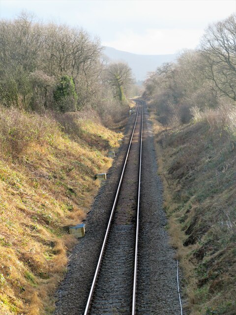
Ingleby railway station
Ingleby railway station was a railway station built to serve the village of Ingleby Greenhow in North Yorkshire, England. The station was on the North...
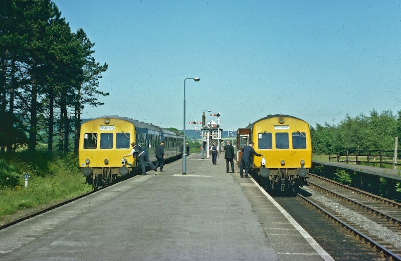
Battersby railway station
Battersby is a railway station on the Esk Valley Line, which runs between Middlesbrough and Whitby via Nunthorpe. The station, situated 11 miles 4 chains...
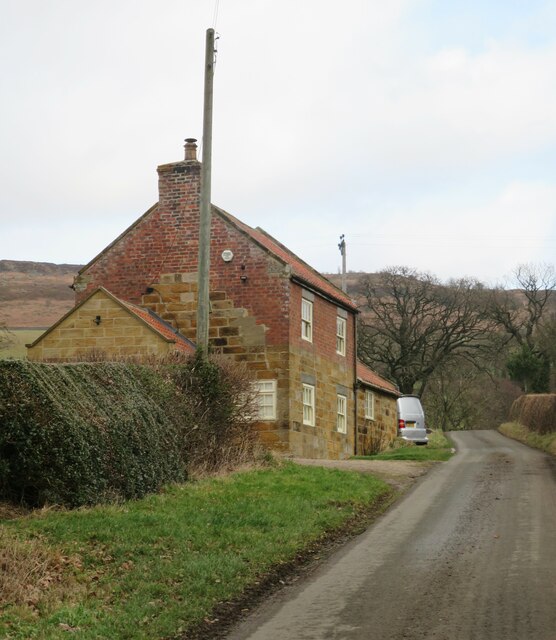
Easby, Hambleton
Easby is a village and civil parish in Hambleton District of North Yorkshire, England. It lies approximately 2 miles (3.2 km) south-east of Great Ayton...

Ingleby Greenhow
Ingleby Greenhow is a village and civil parish in the Hambleton district of North Yorkshire, England. It is on the border of the North York Moors and 3...

Battersby
Battersby is a hamlet in North Yorkshire, England. It lies on the edge of the North York Moors National Park and within the historic boundaries of the...

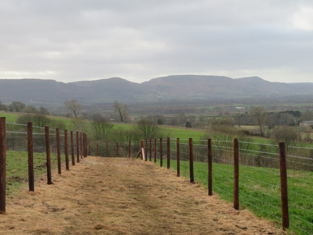
Easby Moor
Easby Moor is a hill located in the civil parish of Little Ayton in the North York Moors national park within the Cleveland Hills, North Yorkshire, England...

Little Ayton
Little Ayton is a village and civil parish in Hambleton District of North Yorkshire, England and lies immediately south of Great Ayton. The population...

Kildale railway station
Kildale is a railway station on the Esk Valley Line, which runs between Middlesbrough and Whitby via Nunthorpe. The station, situated 12 miles 65 chains...
Nearby Amenities
Located within 500m of 54.461233,-1.1044942Have you been to Christ Church Covert?
Leave your review of Christ Church Covert below (or comments, questions and feedback).