Cottage Wood
Wood, Forest in Nottinghamshire Gedling
England
Cottage Wood

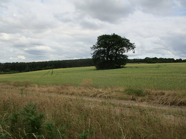
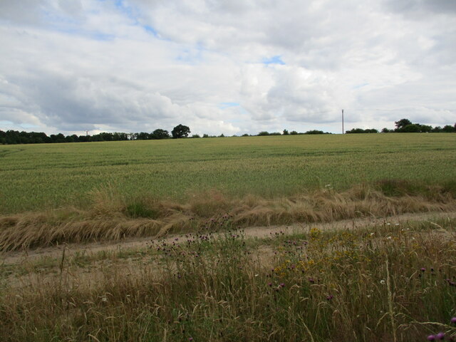
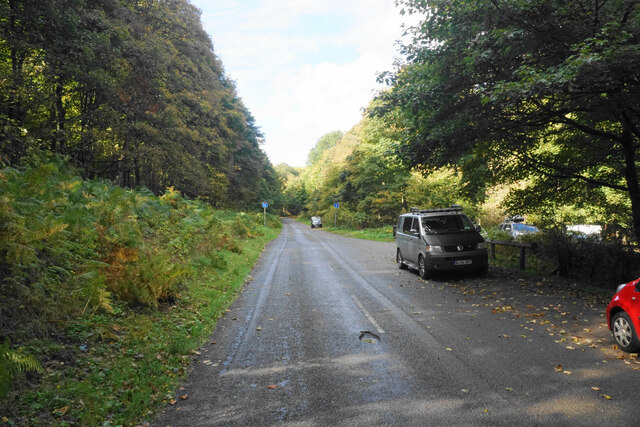
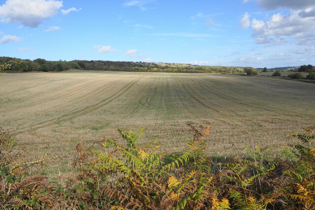
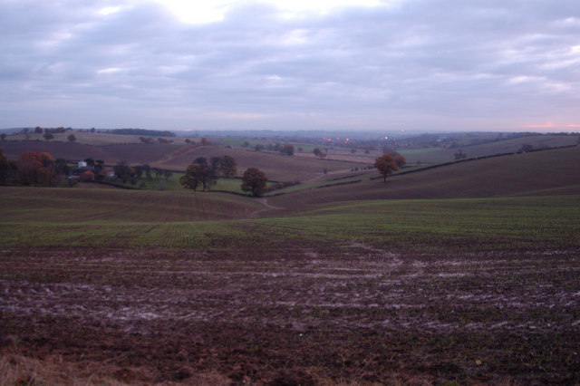
Cottage Wood, located in Nottinghamshire, is a charming forest area renowned for its natural beauty and tranquil atmosphere. Nestled amidst the picturesque countryside, this wood offers a serene escape from the hustle and bustle of city life.
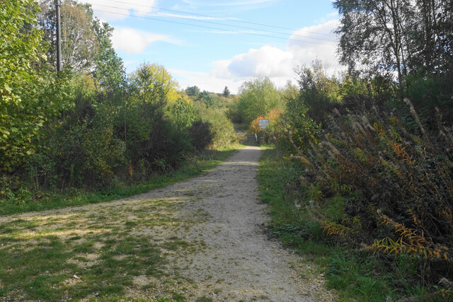
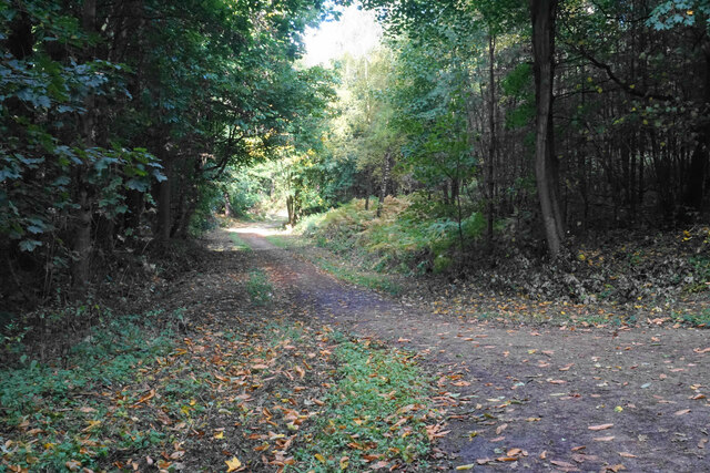
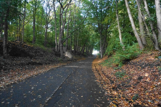
Covering an expansive area, Cottage Wood is home to a diverse range of flora and fauna. The wood is predominantly composed of deciduous trees such as oak, beech, and birch, creating a vibrant tapestry of colors during the autumn season. The forest floor is carpeted with a variety of wildflowers and ferns, adding to the enchanting ambiance.
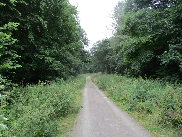
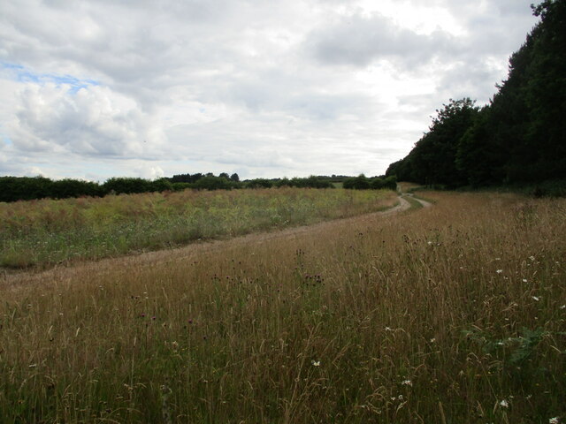
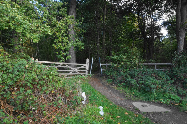
The wood is crisscrossed with a network of well-maintained footpaths that allow visitors to explore and appreciate its natural splendor. These pathways wind through the dense foliage, offering glimpses of various wildlife including deer, squirrels, and a plethora of bird species. Nature enthusiasts can also partake in birdwatching, as the wood attracts a wide range of avian species.
Cottage Wood is a popular destination for outdoor activities such as hiking, picnicking, and photography. Its idyllic setting provides ample opportunities for capturing stunning landscape shots or enjoying a leisurely picnic surrounded by nature's serenity.
The wood is easily accessible, located just a short distance from the nearby village, making it a favored spot for locals and tourists alike. Whether seeking a peaceful retreat or an opportunity to immerse oneself in nature's beauty, Cottage Wood offers a memorable experience for all who visit.
If you have any feedback on the listing, please let us know in the comments section below.
Cottage Wood Images
Images are sourced within 2km of 53.042505/-1.1340276 or Grid Reference SK5849. Thanks to Geograph Open Source API. All images are credited.

Cottage Wood is located at Grid Ref: SK5849 (Lat: 53.042505, Lng: -1.1340276)
Administrative County: Nottinghamshire
District: Gedling
Police Authority: Nottinghamshire
What 3 Words
///observers.charm.agreed. Near Calverton, Nottinghamshire
Nearby Locations
Related Wikis

Arnold Town F.C.
Arnold Town Football Club is a football club based in Arnold, Nottinghamshire, England. They are currently members of the Central Midlands League South...

Bestwood Pumping Station
Bestwood Pumping Station was a water pumping station operating in Nottinghamshire from 1874 until 1964. == History == Bestwood Pumping Station was built...
Calverton Miners' Welfare F.C.
Calverton Miners' Welfare Football Club is an association football club in Calverton, near Nottingham, Nottinghamshire, England. They are currently members...

Papplewick Pumping Station
Papplewick Pumping Station, situated in open agricultural land approximately 3 miles (4.8 km) by road from the Nottinghamshire village of Papplewick, was...
Dorket Head
Dorket Head is the name of the immediate area surrounding the junction of Lime Lane and Calverton Road in the town of Arnold, Nottinghamshire. It is the...

Sherwood (UK Parliament constituency)
Sherwood is a constituency represented in the House of Commons of the UK Parliament since 2010 by Mark Spencer, a Conservative. The constituency takes...
Colonel Frank Seely Academy
Colonel Frank Seely Academy (formerly Colonel Frank Seely School) is a coeducational secondary school and sixth form located in Calverton in the English...

Redhill, Nottinghamshire
Redhill () is a small community forming part of the much larger town of Arnold in Nottinghamshire, England. It is approximately 4 miles (6.4 km) north...
Nearby Amenities
Located within 500m of 53.042505,-1.1340276Have you been to Cottage Wood?
Leave your review of Cottage Wood below (or comments, questions and feedback).