Dungworth

Settlement in Yorkshire

England

Dungworth

Damflask Reservoir - path below Matley, Low Bradfield
Damflask Reservoir - path below Matley, Low Bradfield Credit: Colin Park

Dungworth is a small village located in the metropolitan borough of Sheffield, South Yorkshire, England. Situated on the western outskirts of Sheffield, it is nestled in the beautiful countryside of the Peak District National Park. Dungworth is approximately 6 miles northwest of the city center and is easily accessible by road.

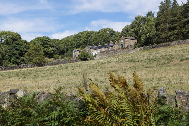
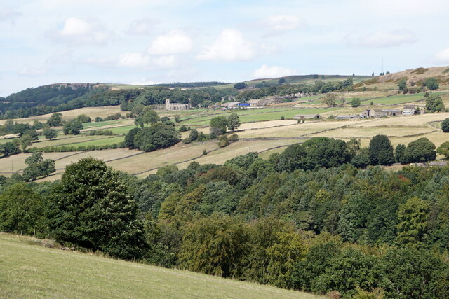
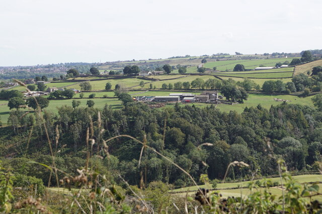
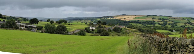
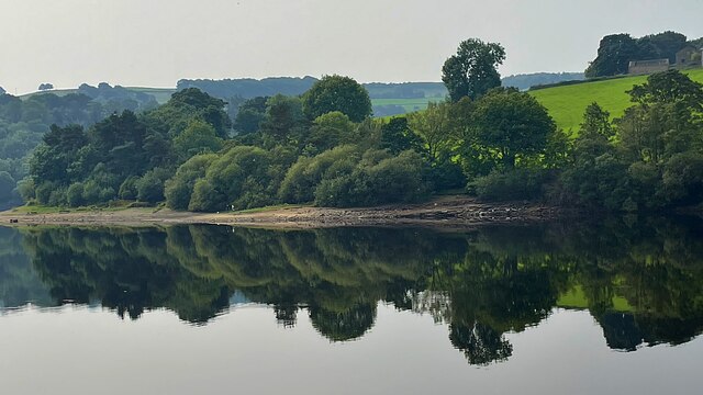
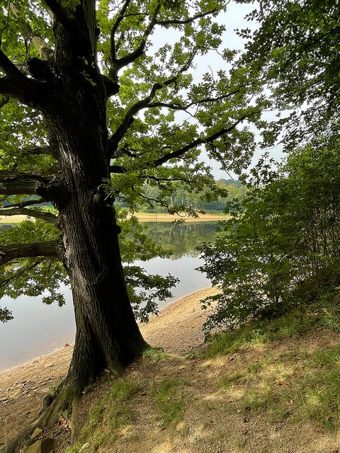
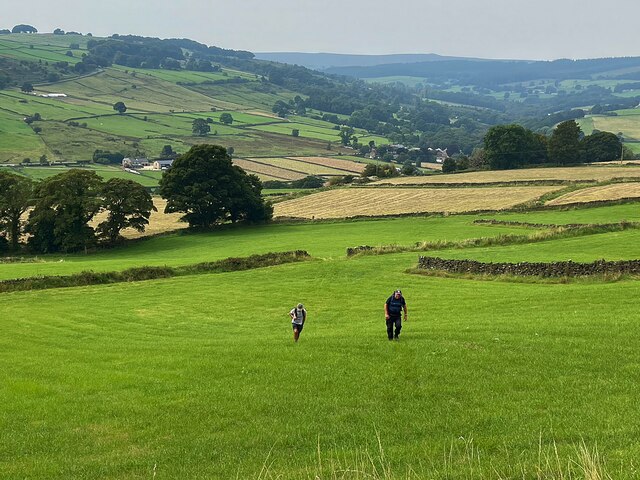
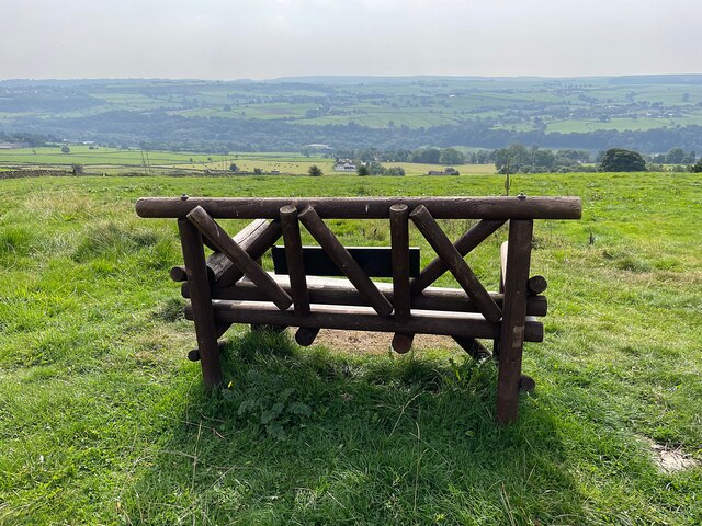
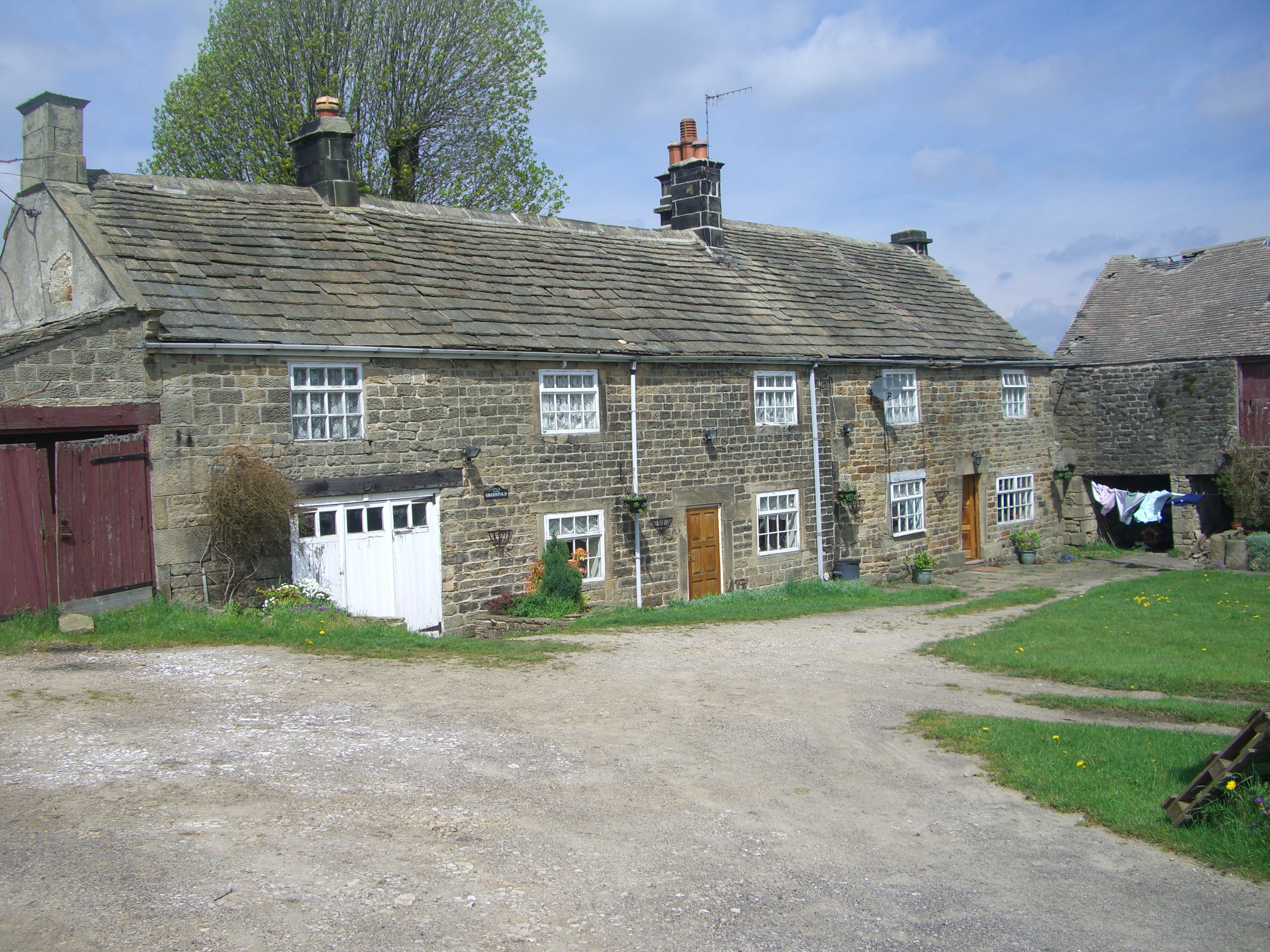
The village is known for its picturesque setting, with rolling hills, meadows, and charming stone-built cottages that create a peaceful and idyllic atmosphere. It offers stunning views of the surrounding countryside and is a popular destination for nature lovers and hikers.

Despite its small size, Dungworth has a close-knit community that takes pride in its heritage. The village is home to a traditional church, St. John the Baptist, which dates back to the 12th century. The church is a focal point for community events and gatherings, adding to the sense of togetherness within the village.

Dungworth also has a thriving social scene, with a local pub that serves delicious food and drinks. The village is known for its traditional folk music, and the pub often hosts live performances, attracting both locals and visitors.

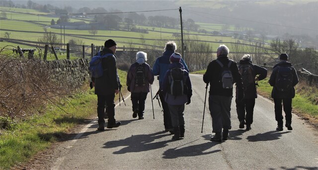
For those seeking outdoor activities, Dungworth offers excellent opportunities for walking, cycling, and horse riding. The nearby Peak District National Park provides a multitude of trails and paths to explore, offering breathtaking views and an abundance of natural beauty.

In summary, Dungworth is a quaint and charming village situated in the stunning countryside of South Yorkshire. With its picturesque setting, strong community spirit, and access to nature, it is a hidden gem for those seeking tranquility and outdoor adventures.

If you have any feedback on the listing, please let us know in the comments section below.
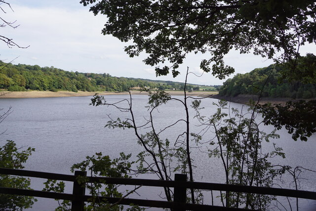
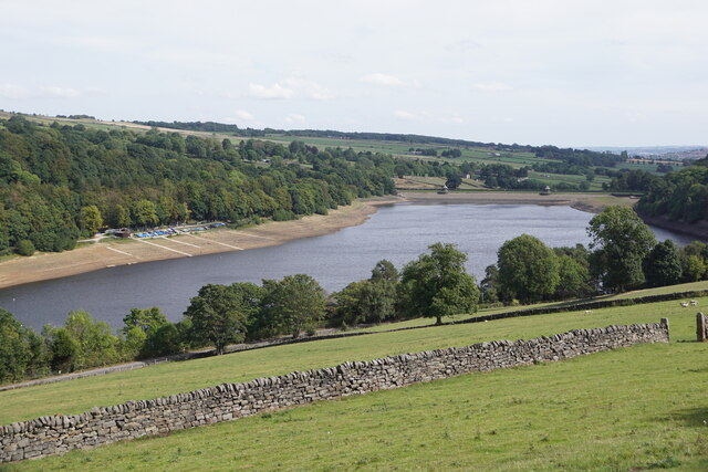
Dungworth Images

Images are sourced within 2km of 53.406516/-1.579532 or Grid Reference SK2890. Thanks to Geograph Open Source API. All images are credited.

Damflask Reservoir - path below Matley, Low Bradfield
View along Damflask Reservoir
Damflask Reservoir from the dam
Cliffe House Farm, Bradfield
Damflask Reservoir Looking towards the dam.
Damflask Reservoir
Looking towards the dam.
Damflask Reservoir from Oaks Lane
Bradfield from Oaks Lane
Fields near Ughill
Fields near Ughill
Walkers in the winter sun
Dungworth, Sheffield
Sailing dinghies on the bank of Damflask Reservoir Home of the Sheffield Viking Sailing Club
Sailing dinghies on the bank of Damflask Reservoir
Home of the Sheffield Viking Sailing Club
Damflask Reservoir Very still water on a hot, windless September morning
Damflask Reservoir
Very still water on a hot, windless September morning
Reflection in Damflask Reservoir Very still water on a hot, windless September morning
Reflection in Damflask Reservoir
Very still water on a hot, windless September morning
Tree on the east bank of Damflask Reservoir
A steep climb from Loxley Valley
A rustic wooden seat with a view Looking over the Loxley Valley from the Sheffield Country Walk near the hamlet of Holdworth
A rustic wooden seat with a view
Looking over the Loxley Valley from the Sheffield Country Walk near the hamlet of Holdworth
Autumnal reflection in Damflask Reservoir
Percy Pud runners Runners looking fresh near the start of the Percy Pud 10k run. This annual event is organised by Steel City Striders to raise money for Weston Park Hospital Cancer Charity. The run goes from Loxley to Low Bradfield and back alongside Damflask Reservoir. All the 2200 runners are rewarded with a free Christmas pudding
Percy Pud runners
Runners looking fresh near the start of the Percy Pud 10k run. This annual event is organised by Steel City Striders to raise money for Weston Park Hospital Cancer Charity. The run goes from Loxley to Low Bradfield and back alongside Damflask Reservoir. All the 2200 runners are rewarded with a free Christmas pudding
Show me another place!

Dungworth is located at Grid Ref: SK2890 (Lat: 53.406516, Lng: -1.579532)

Division: West Riding

Unitary Authority: Sheffield

Police Authority: South Yorkshire

What 3 Words

///chose.frosted.latest. Near Bradfield, South Yorkshire

Related Wikis

Dungworth

Dungworth (archaic Dungeworth,) is a hamlet in the civil parish of Bradfield, west of Sheffield in South Yorkshire, England. The village also gives its...
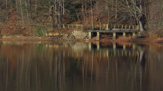
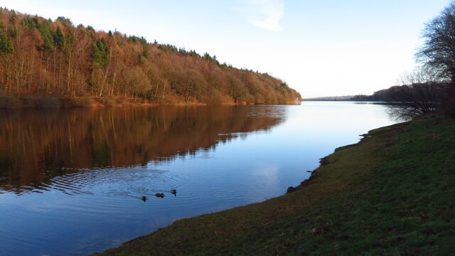
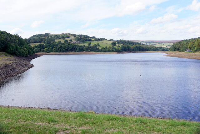
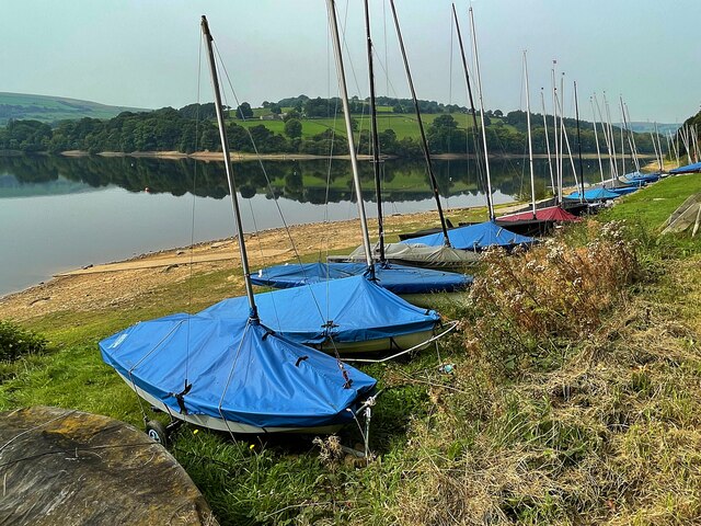
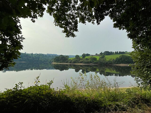
Damflask Reservoir

Damflask Reservoir is situated at grid reference SK277907 five miles (eight kilometres) west of the centre of Sheffield in the Loxley valley close to the...

Sheffield University Rowing Club

Sheffield University Rowing Club (SURC) is the rowing club for The University of Sheffield and is based on Damflask Reservoir near Lower Bradfield, Sheffield...

City of Sheffield Rowing Club

City of Sheffield Rowing Club is a rowing club on the Damflask Reservoir, based at the Damflask Rowing Centre, Low Bradfield, Sheffield, South Yorkshire...

Nearby Amenities

Located within 500m of 53.406516,-1.579532
Dungworth
Place: village
Wikidata: Q5315233
Lat/Long: 53.406435/-1.5803799
Bus Stop
Main Road/Sidling Hollow
Bus: yes
Naptan AtcoCode: 370022293
Naptan Bearing: SE
Naptan CommonName: Main Road/Sidling Hollow
Naptan Indicator: 22293
Naptan Landmark: 22293
Naptan PlusbusZoneRef: ROTHCEN
Naptan Street: Main Road
Naptan Verified: no
Public Transport: platform
Source: naptan_import
Lat/Long: 53.4075409/-1.5814771
Bus Stop
Yews Lane/Yews Fold
Alt Name: Yews Lane/Yews Fold
Bus: yes
Naptan AltCommonName: Yews Lane/Yews Fold
Naptan AtcoCode: 370023400
Naptan Bearing: NE
Naptan CommonName: Yews Lane/Yews Fold
Naptan Indicator: 23400
Naptan Landmark: ROYAL HOTEL
Naptan PlusbusZoneRef: ROTHCEN
Naptan Street: Main Road
Naptan Verified: no
Public Transport: platform
Source: naptan_import
Lat/Long: 53.4047147/-1.5804068
Bus Stop
Yews Lane/Sykehouse Lane
Bus: yes
Naptan AtcoCode: 370023401
Naptan Bearing: S
Naptan CommonName: Yews Lane/Sykehouse Lane
Naptan Indicator: 23401
Naptan Landmark: Tinwell Cottage
Naptan PlusbusZoneRef: ROTHCEN
Naptan Street: Cliffe Hill
Naptan Verified: no
Public Transport: platform
Source: naptan_import
Lat/Long: 53.4033937/-1.58051
Main Road/Sidling Hollow
Naptan AtcoCode: 370026818
Naptan Bearing: NW
Naptan BusStopType: CUS
Naptan CommonName: Main Road/Sidling Hollow
Naptan Indicator: 26818
Naptan Landmark: 26818
Naptan PlusbusZoneRef: ROTHCEN
Naptan Street: Main Road
Naptan Verified: no
Source: naptan_import
Lat/Long: 53.4075241/-1.5818082
Bus Stop
Yews Lane/Yews Fold
Alt Name: Yews Lane/Yews Fold
Bus: yes
Naptan AltCommonName: Yews Lane/Yews Fold
Naptan AtcoCode: 370026819
Naptan Bearing: SW
Naptan BusStopType: CUS
Naptan CommonName: Yews Lane/Yews Fold
Naptan Indicator: 26819
Naptan Landmark: ROYAL HOTEL
Naptan PlusbusZoneRef: ROTHCEN
Naptan Street: Yews Lane
Naptan Verified: no
Public Transport: platform
Source: naptan_import
Lat/Long: 53.4046604/-1.580302
Leisure: playground
Lat/Long: 53.406347/-1.5769339
Give Way
Lat/Long: 53.407068/-1.581081
Give Way
Lat/Long: 53.4029687/-1.580797
Barrier: stile
Lat/Long: 53.4022173/-1.579009
Barrier: stile
Lat/Long: 53.4043834/-1.5767475
Dungworth Car
Historic Place: isolated_dwelling
Lat/Long: 53.407419/-1.5834817
Barrier: stile
Lat/Long: 53.4097709/-1.5832611
Post Box
Collection Times: Mo-Fr 04:00; Sa 11:00
Post Box Type: wall
Ref: S6 162
Royal Cypher: VR
Royal Cypher Wikidata: Q33102356
Lat/Long: 53.4059427/-1.5806045
Barrier: stile
Lat/Long: 53.4061751/-1.586295
Parking
Lat/Long: 53.4068143/-1.5808385
Barrier: stile
Lat/Long: 53.4057226/-1.5850831
Parking
Lat/Long: 53.4043843/-1.5808942
Barrier: stile
Lat/Long: 53.4088996/-1.5830782
Power: pole
Lat/Long: 53.4039744/-1.5736109
Power: pole
Lat/Long: 53.4039638/-1.5842254
Power: pole
Lat/Long: 53.4039014/-1.5831687
Power: pole
Lat/Long: 53.4038455/-1.5820984
Power: pole
Lat/Long: 53.4035832/-1.5807359
Power: pole
Lat/Long: 53.4034969/-1.5803362
Power: pole
Lat/Long: 53.4036759/-1.5791829
Power: pole
Lat/Long: 53.4038669/-1.577988
Power: pole
Lat/Long: 53.4040252/-1.5764542
Power: pole
Lat/Long: 53.4040336/-1.575078
Power: pole
Lat/Long: 53.4040294/-1.585365
Power: pole
Lat/Long: 53.406637/-1.5805391
Power: pole
Lat/Long: 53.4063854/-1.5797279
Power: pole
Lat/Long: 53.4056452/-1.5791951
Power: pole
Lat/Long: 53.4050303/-1.57876
Power: pole
Lat/Long: 53.4045094/-1.5783863
Give Way
Lat/Long: 53.4076555/-1.5819488
Grit Bin
Operator: Sheffield City Council
Operator Type: government
Operator Wikidata: Q7492609
Seasonal: no
Lat/Long: 53.4105253/-1.5817976
Grit Bin
Operator: Sheffield City Council
Operator Type: government
Operator Wikidata: Q7492609
Seasonal: no
Lat/Long: 53.4057881/-1.5740824
Defibrillator
Access: yes
Booth: K6
Check Date: 2023-03-09
Covered: booth
Defibrillator Location: inside old red phone box in Dungworth
Disused Amenity: telephone
Emergency: defibrillator
Indoor: no
Man Made: telephone_box
Lat/Long: 53.4059332/-1.5805643
The data included in this document is from www.openstreetmap.org. The data is made available under ODbL.

Have you been to Dungworth?

Leave your review of Dungworth below (or comments, questions and feedback).