Green Fold Wood
Wood, Forest in Yorkshire
England
Green Fold Wood
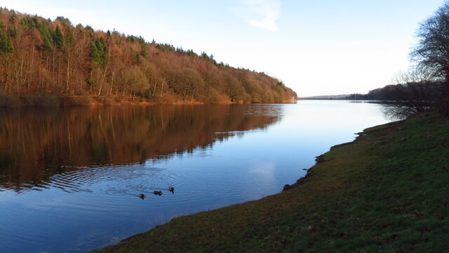
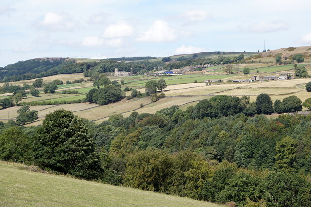
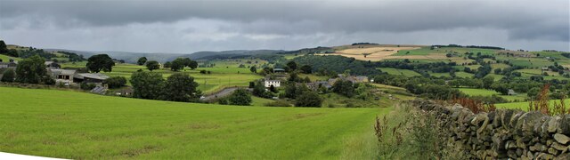
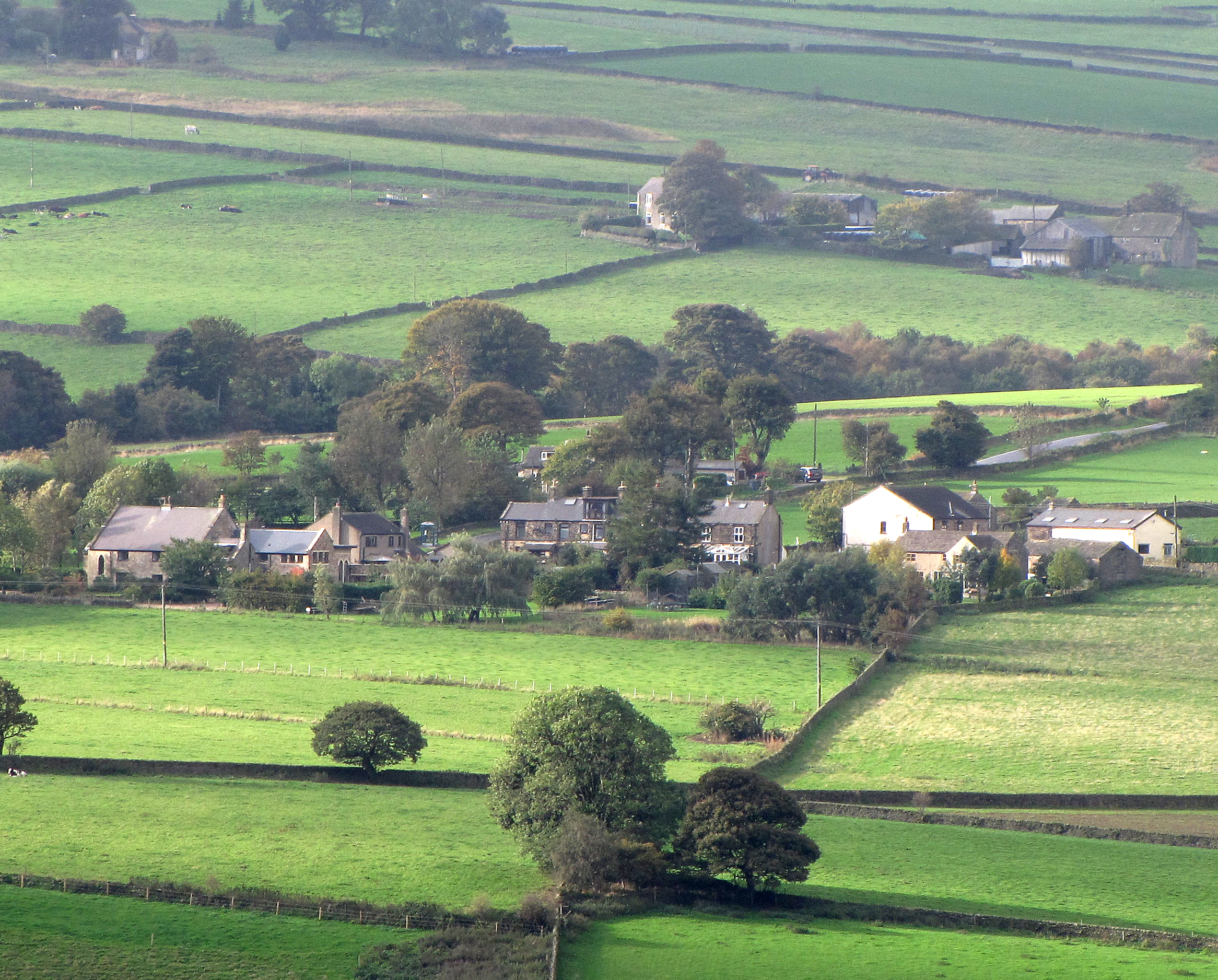
Green Fold Wood is a picturesque woodland located in the region of Yorkshire, England. Covering an area of approximately 100 acres, this enchanting forest offers a peaceful retreat for nature lovers and outdoor enthusiasts alike.
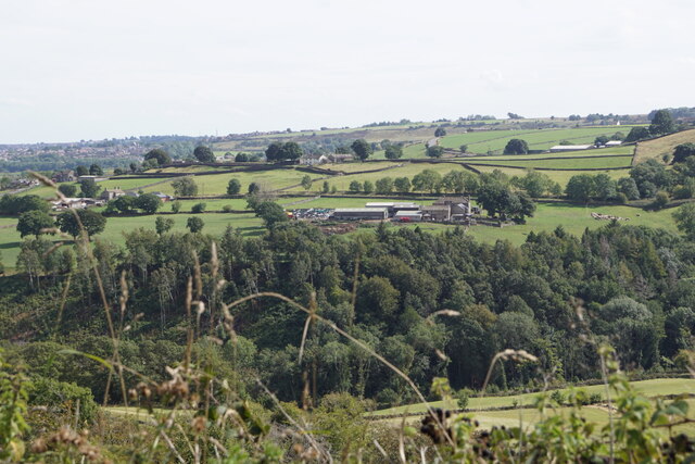
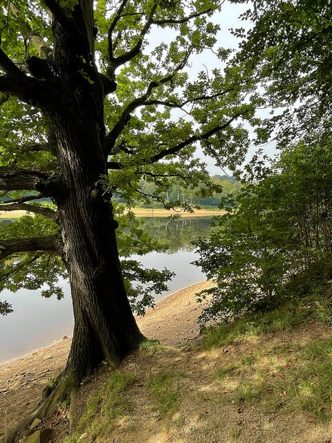
The wood is predominantly made up of native broadleaf trees, such as oak, beech, and birch, which create a rich and diverse ecosystem. The dense canopy provides shelter for a variety of wildlife, including squirrels, bats, and a wide range of bird species. Visitors may also be lucky enough to spot deer and foxes roaming through the wood.
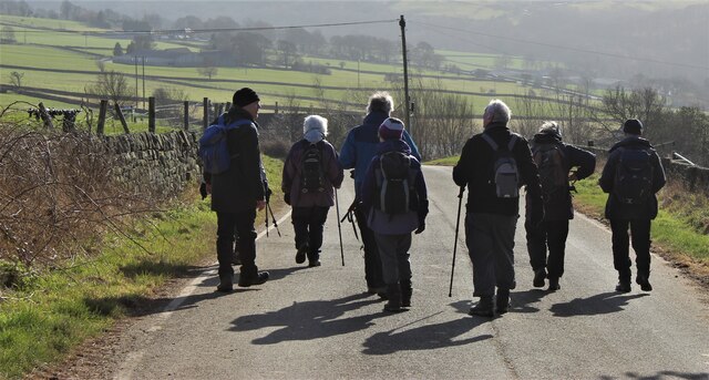
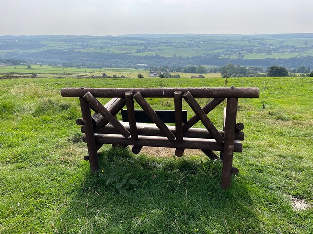
A network of well-maintained footpaths and trails wind their way through Green Fold Wood, allowing visitors to explore and appreciate the natural beauty of the area. These trails offer opportunities for leisurely walks, jogging, and even cycling. The wood is easily accessible and has ample parking facilities, making it a popular destination for locals and tourists.
During springtime, the forest floor is adorned with a vibrant carpet of bluebells, creating a breathtaking sight that attracts many visitors. This seasonal display of wildflowers adds to the charm and allure of Green Fold Wood.
The wood is managed by the local government, ensuring its conservation and preservation for future generations. Education programs and guided tours are occasionally offered, providing visitors with an opportunity to learn about the importance of woodland ecosystems and the efforts made to protect them.
Green Fold Wood is a cherished natural gem in Yorkshire, offering a tranquil escape from the hustle and bustle of daily life, as well as a chance to connect with nature and appreciate the beauty of the English countryside.
If you have any feedback on the listing, please let us know in the comments section below.
Green Fold Wood Images
Images are sourced within 2km of 53.408214/-1.5710939 or Grid Reference SK2890. Thanks to Geograph Open Source API. All images are credited.
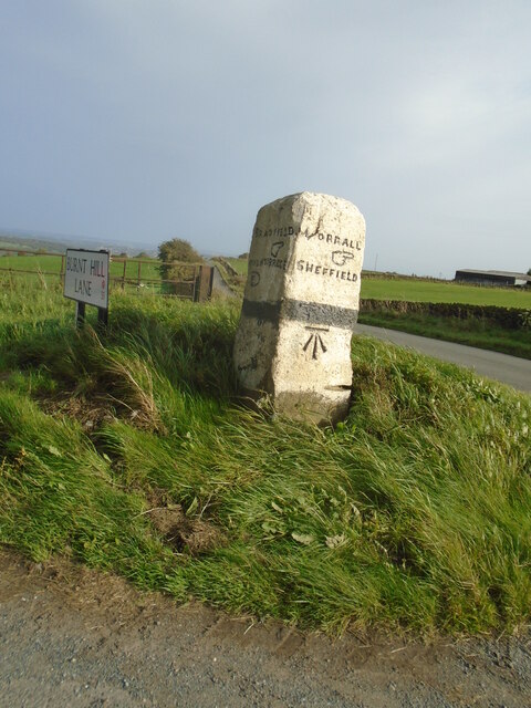


Green Fold Wood is located at Grid Ref: SK2890 (Lat: 53.408214, Lng: -1.5710939)
Division: West Riding
Unitary Authority: Sheffield
Police Authority: South Yorkshire
What 3 Words
///every.invite.shadow. Near Bradfield, South Yorkshire
Nearby Locations
Related Wikis
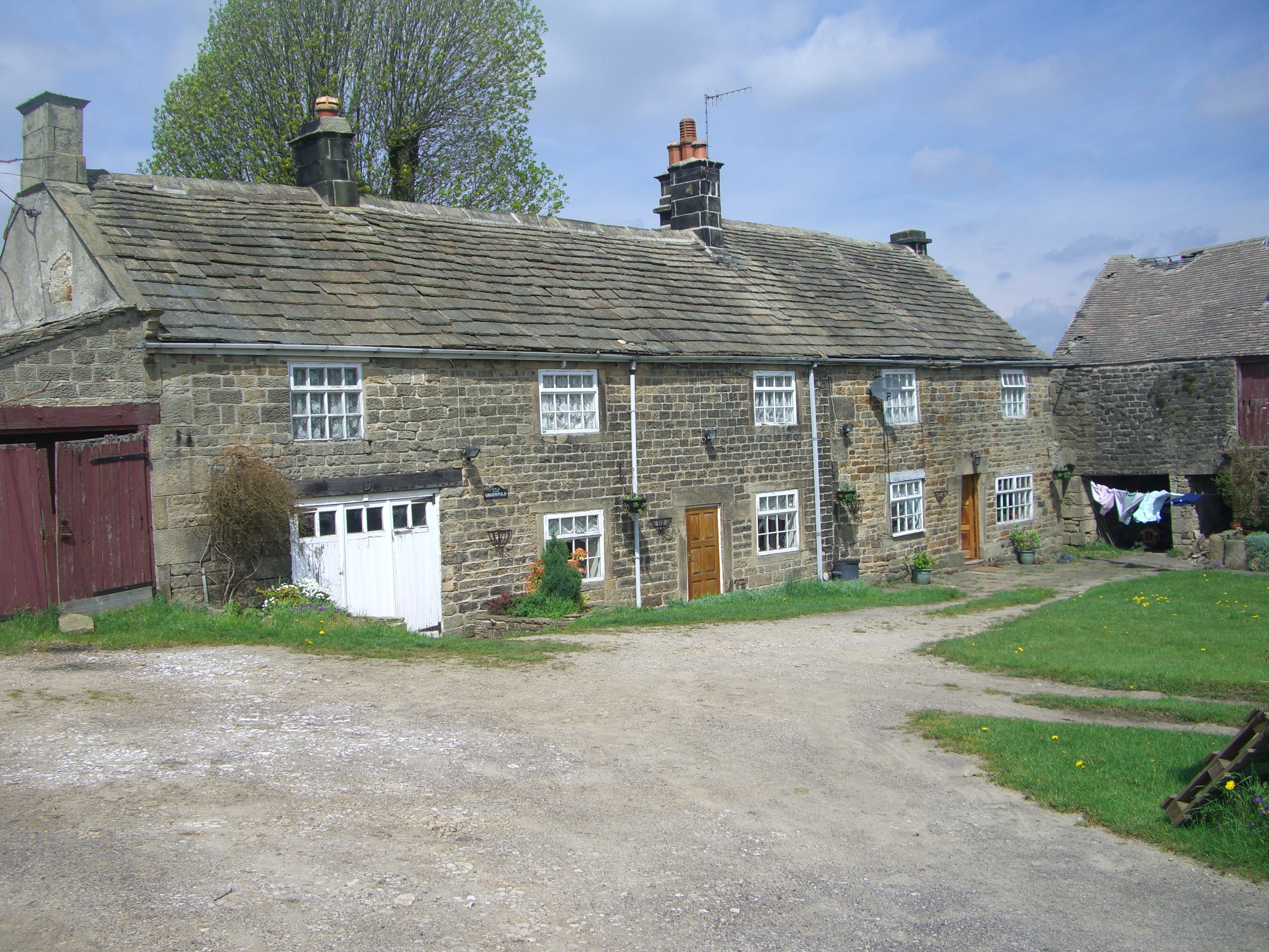
Dungworth
Dungworth (archaic Dungeworth,) is a hamlet in the civil parish of Bradfield, west of Sheffield in South Yorkshire, England. The village also gives its...
Storrs, South Yorkshire
Storrs is a hamlet within the boundaries of the City of Sheffield in England, it is situated 4 miles (6.4 km) west-northwest of the city centre. Storrs...

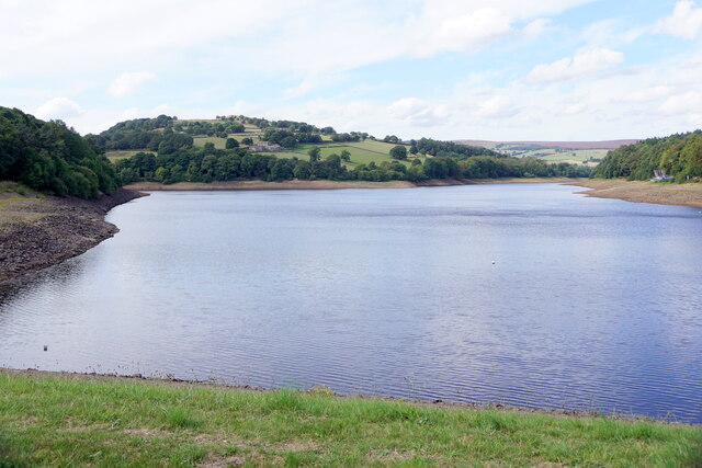
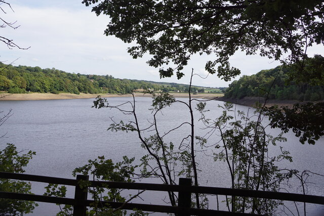
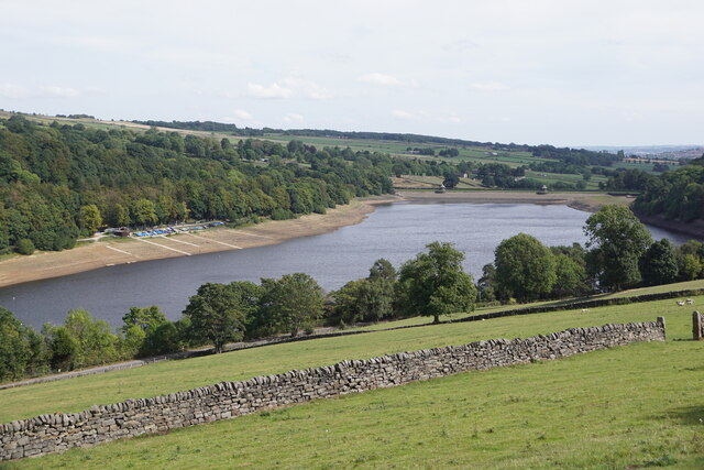
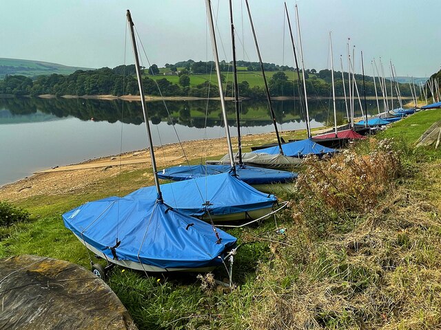
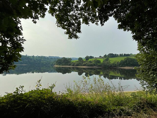
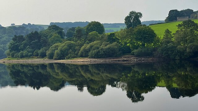
Damflask Reservoir
Damflask Reservoir is situated at grid reference SK277907 five miles (eight kilometres) west of the centre of Sheffield in the Loxley valley close to the...

Sheffield University Rowing Club
Sheffield University Rowing Club (SURC) is the rowing club for The University of Sheffield and is based on Damflask Reservoir near Lower Bradfield, Sheffield...
City of Sheffield Rowing Club
City of Sheffield Rowing Club is a rowing club on the Damflask Reservoir, based at the Damflask Rowing Centre, Low Bradfield, Sheffield, South Yorkshire...

Holdworth
Holdworth is a small rural hamlet situated within the boundary of the City of Sheffield, England. It is located 4.7 miles (7.5 km) northwest of the city...
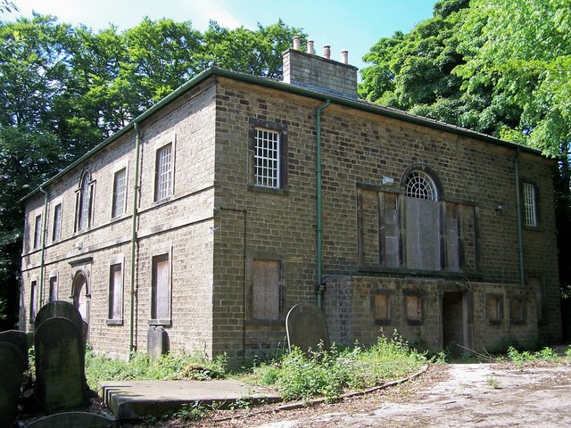
Loxley United Reformed Church
Loxley United Reformed Church is a derelict Grade II* listed building located on Loxley Road in Loxley, a western suburb of the City of Sheffield, England...
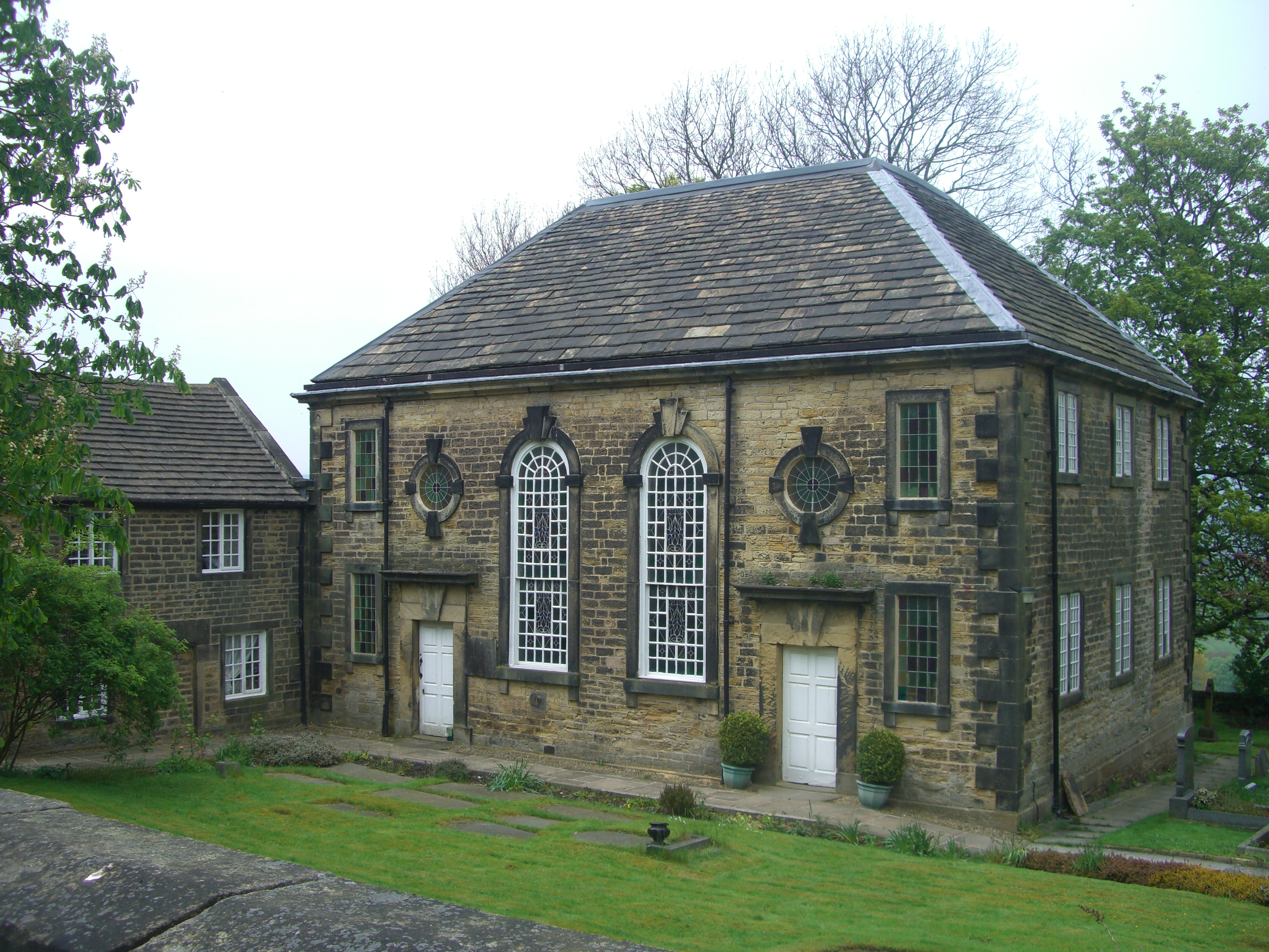
Underbank Chapel
Underbank Chapel is a Unitarian place of worship in Stannington, a suburb of Sheffield, South Yorkshire. It is a member of the General Assembly of Unitarian...
Nearby Amenities
Located within 500m of 53.408214,-1.5710939Have you been to Green Fold Wood?
Leave your review of Green Fold Wood below (or comments, questions and feedback).