Low Holdworth

Settlement in Yorkshire

England

Low Holdworth

Field path leading south towards Kirk Edge Convent near High Bradfield
Field path leading south towards Kirk Edge Convent near High Bradfield Credit: Colin Park

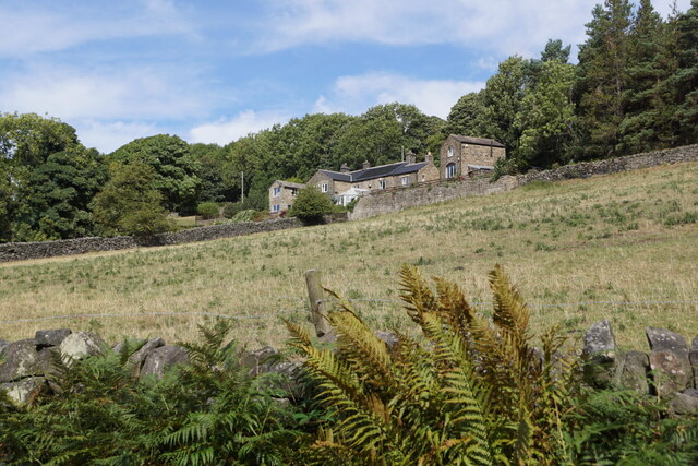
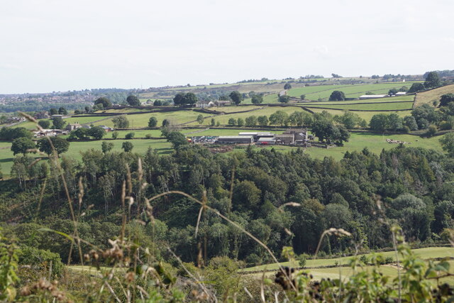
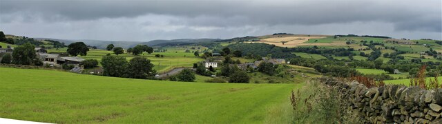
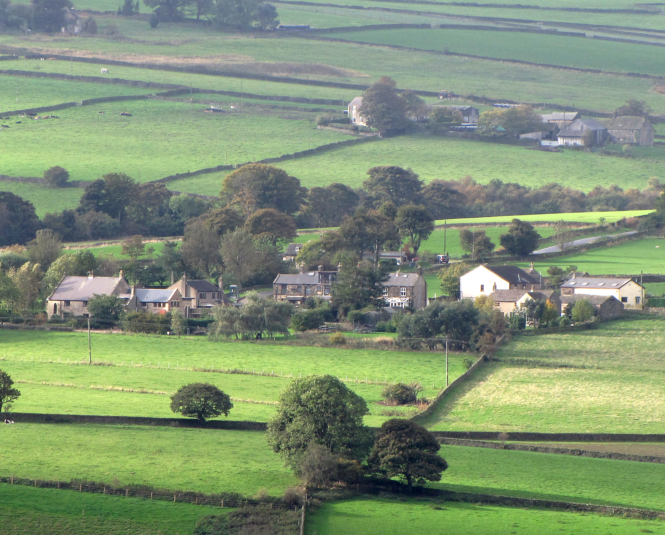
Low Holdworth is a small village located in the county of Yorkshire, England. Situated in the picturesque countryside, it is surrounded by rolling hills and offers a tranquil and peaceful setting for its residents. The village is part of the larger parish of Holdworth, which includes several nearby hamlets and farms.

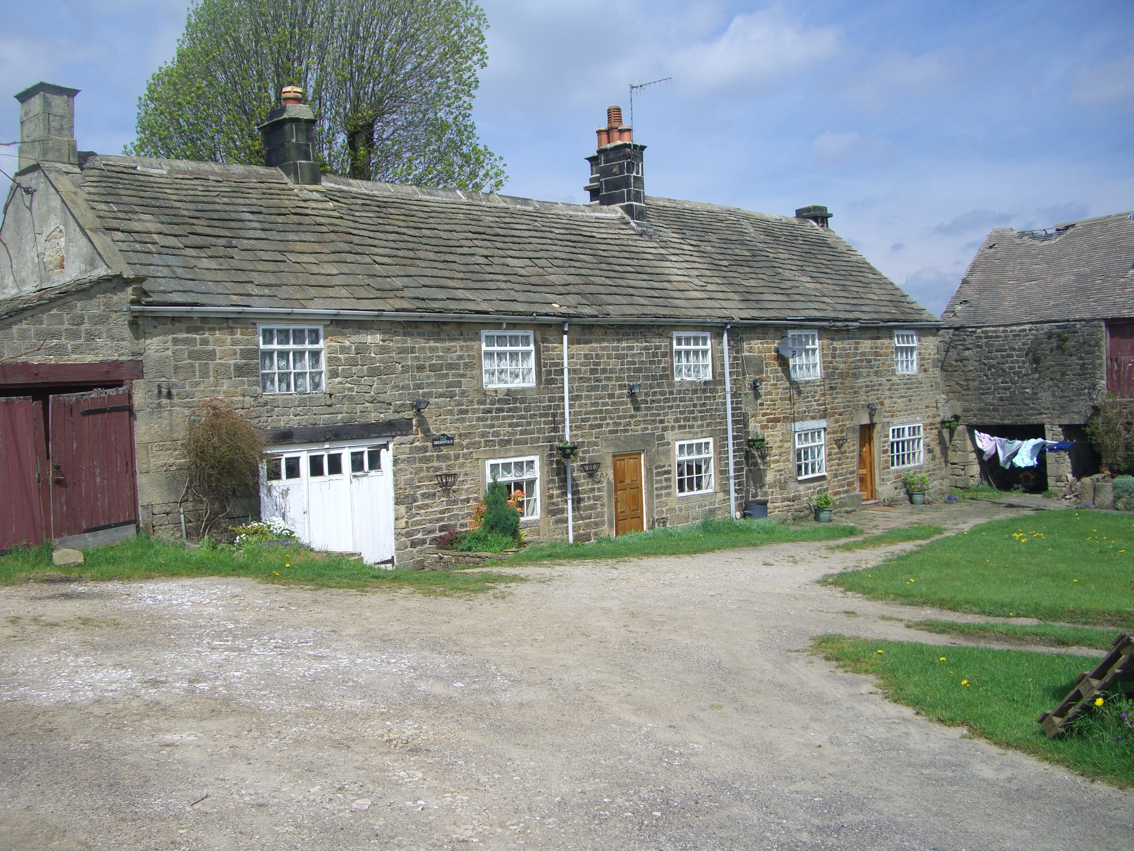
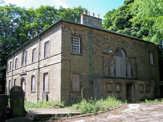
The history of Low Holdworth can be traced back to medieval times when it was a farming community. Today, the village retains its rural charm with a scattering of traditional stone cottages and farmhouses. The local economy is still primarily based on agriculture, with farming being the main occupation for many residents.

Although small in size, Low Holdworth boasts a close-knit and friendly community. The village has a small church, St. Mary's, which serves as a gathering place for religious services and community events. Additionally, there is a village hall where residents can come together for various social activities and meetings.

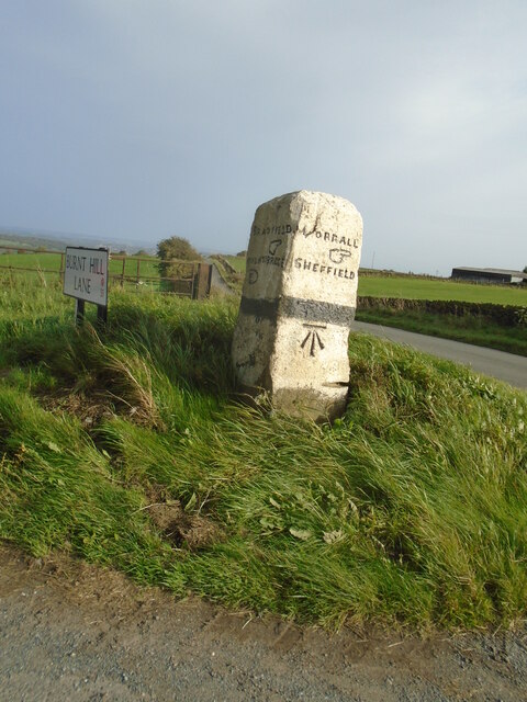
Despite its rural location, Low Holdworth is well-connected to nearby towns and cities. The village has good road links, making it easily accessible by car. The nearest town, Marketton, is only a short drive away and offers a range of amenities such as shops, schools, and healthcare facilities.

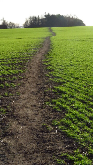
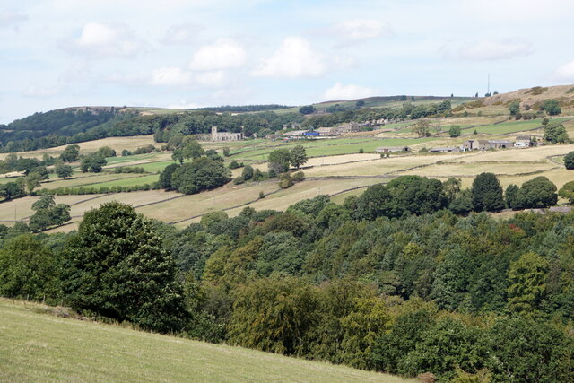
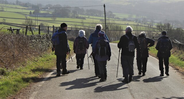
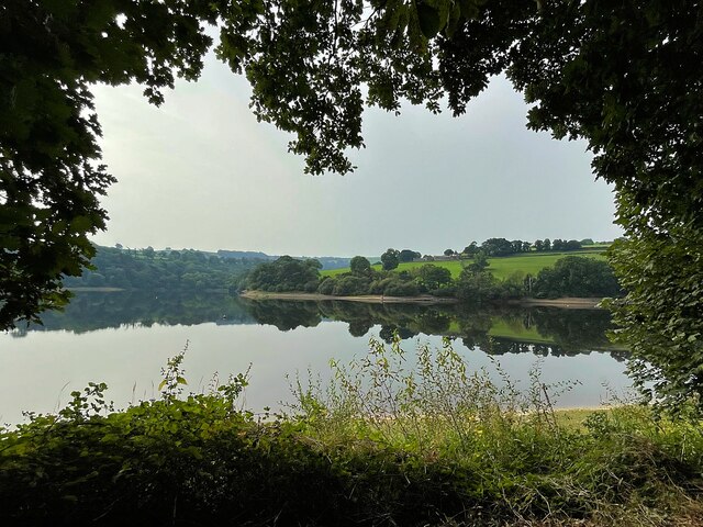
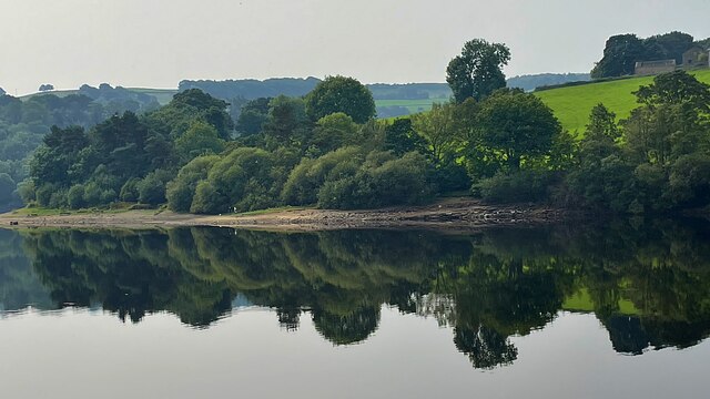
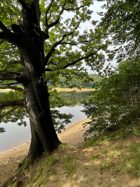
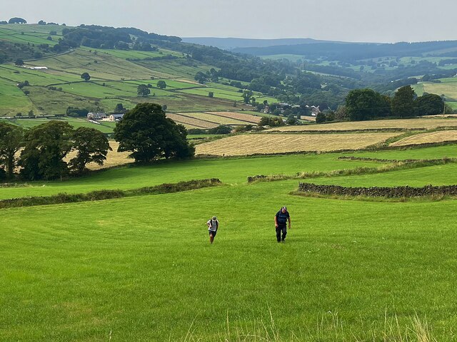
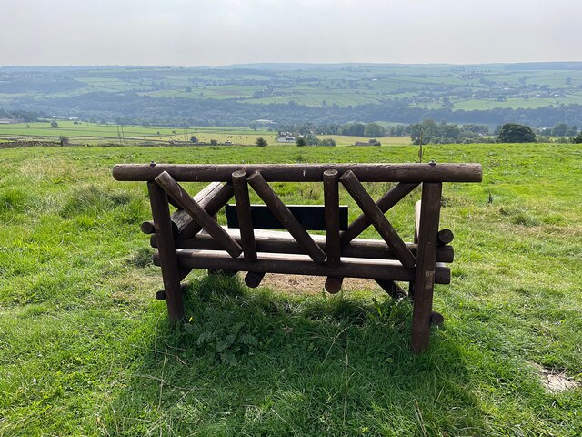
Low Holdworth is a haven for nature lovers, with numerous walking and cycling routes in the surrounding countryside. The breathtaking scenery and peaceful atmosphere make it an ideal destination for those seeking a retreat from the hustle and bustle of city life.

If you have any feedback on the listing, please let us know in the comments section below.

Low Holdworth Images

Images are sourced within 2km of 53.413244/-1.572623 or Grid Reference SK2890. Thanks to Geograph Open Source API. All images are credited.

Field path leading south towards Kirk Edge Convent near High Bradfield
Damflask Reservoir - path below Matley, Low Bradfield
View along Damflask Reservoir
Damflask Reservoir from the dam
Cliffe House Farm, Bradfield
Damflask Reservoir Looking towards the dam.
Damflask Reservoir
Looking towards the dam.
Damflask Reservoir from Oaks Lane
Bradfield from Oaks Lane
Fields near Ughill
Fields near Ughill
Walkers in the winter sun
Dungworth, Sheffield
Sailing dinghies on the bank of Damflask Reservoir Home of the Sheffield Viking Sailing Club
Sailing dinghies on the bank of Damflask Reservoir
Home of the Sheffield Viking Sailing Club
Damflask Reservoir Very still water on a hot, windless September morning
Damflask Reservoir
Very still water on a hot, windless September morning
Reflection in Damflask Reservoir Very still water on a hot, windless September morning
Reflection in Damflask Reservoir
Very still water on a hot, windless September morning
Tree on the east bank of Damflask Reservoir
A steep climb from Loxley Valley
A rustic wooden seat with a view Looking over the Loxley Valley from the Sheffield Country Walk near the hamlet of Holdworth
A rustic wooden seat with a view
Looking over the Loxley Valley from the Sheffield Country Walk near the hamlet of Holdworth
Old guidestone A more recent view of the Bradfield Parish guidestone on Kirk Edge Road where Burnt Hill Lane turns left and down to Oughtibridge.  The left face is inscribed BRADFIELD /hand to right/OUGHTIBRIDGE/hand to left.   Made of gritstone, it may date from about 1860.   It is one of eleven guidestones in Bradfield parish which are painted occasionally.   Grade II listed 1314544.
Old guidestone
A more recent view of the Bradfield Parish guidestone on Kirk Edge Road where Burnt Hill Lane turns left and down to Oughtibridge. The left face is inscribed BRADFIELD /hand to right/OUGHTIBRIDGE/hand to left. Made of gritstone, it may date from about 1860. It is one of eleven guidestones in Bradfield parish which are painted occasionally. Grade II listed 1314544.
Show me another place!

Low Holdworth is located at Grid Ref: SK2890 (Lat: 53.413244, Lng: -1.572623)

Division: West Riding

Unitary Authority: Sheffield

Police Authority: South Yorkshire

What 3 Words

///holly.stocks.pillow. Near Bradfield, South Yorkshire

Related Wikis

Sheffield University Rowing Club

Sheffield University Rowing Club (SURC) is the rowing club for The University of Sheffield and is based on Damflask Reservoir near Lower Bradfield, Sheffield...

Dungworth

Dungworth (archaic Dungeworth,) is a hamlet in the civil parish of Bradfield, west of Sheffield in South Yorkshire, England. The village also gives its...

City of Sheffield Rowing Club

City of Sheffield Rowing Club is a rowing club on the Damflask Reservoir, based at the Damflask Rowing Centre, Low Bradfield, Sheffield, South Yorkshire...
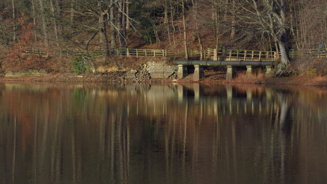
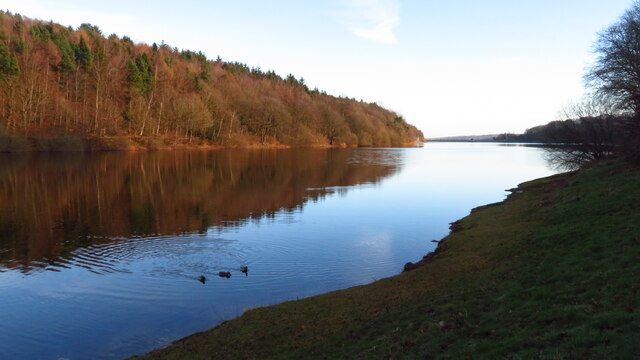
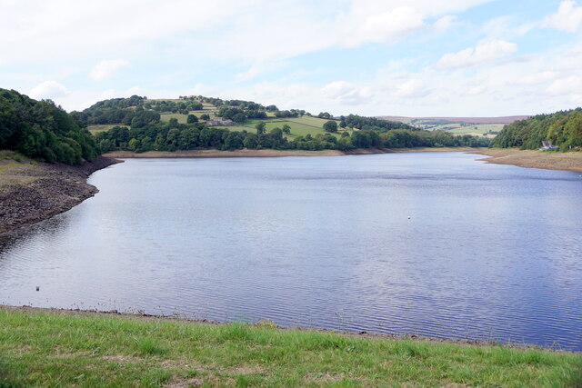
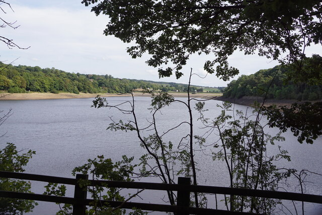
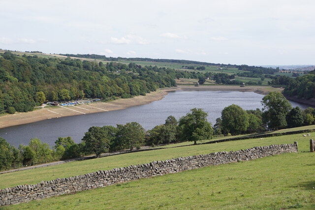
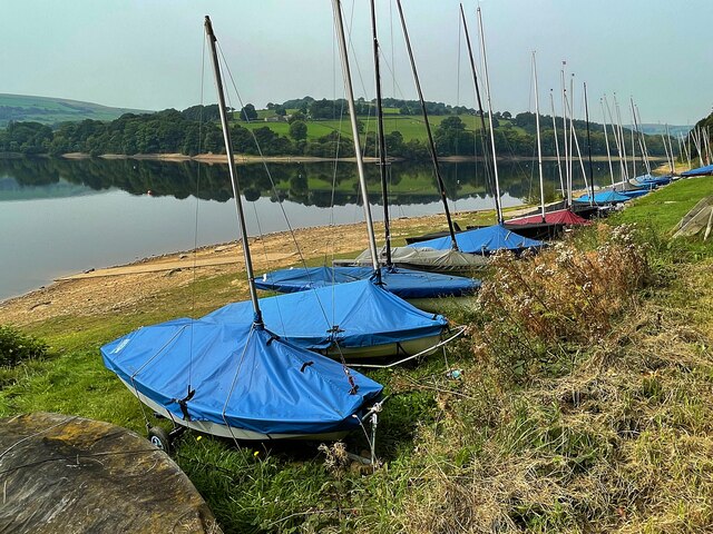
Damflask Reservoir

Damflask Reservoir is situated at grid reference SK277907 five miles (eight kilometres) west of the centre of Sheffield in the Loxley valley close to the...

Holdworth

Holdworth is a small rural hamlet situated within the boundary of the City of Sheffield, England. It is located 4.7 miles (7.5 km) northwest of the city...

Monastery of The Holy Spirit, Sheffield

The Monastery of The Holy Spirit, known locally as Kirk Edge Convent is a Carmelite monastery for nuns. It is situated on Kirk Edge Road between the villages...

Storrs, South Yorkshire

Storrs is a hamlet within the boundaries of the City of Sheffield in England, it is situated 4 miles (6.4 km) west-northwest of the city centre. Storrs...

Loxley United Reformed Church

Loxley United Reformed Church is a derelict Grade II* listed building located on Loxley Road in Loxley, a western suburb of the City of Sheffield, England...

Nearby Amenities

Located within 500m of 53.413244,-1.572623
Bus Stop
Loxley Road/New Road
Bus: yes
Naptan AtcoCode: 370027074
Naptan Bearing: N
Naptan CommonName: Loxley Road/New Road
Naptan Indicator: 27074
Naptan Landmark: Holdworth House Farm
Naptan PlusbusZoneRef: ROTHCEN
Naptan Street: Loxley Road
Naptan Verified: no
Public Transport: platform
Source: naptan_import
Lat/Long: 53.4138265/-1.5766238
Bus Stop
Loxley Road/Damflask
Bus: yes
Naptan AtcoCode: 370027077
Naptan Bearing: SE
Naptan BusStopType: CUS
Naptan CommonName: Loxley Road/Damflask
Naptan Indicator: 27077
Naptan Landmark: 27077
Naptan PlusbusZoneRef: ROTHCEN
Naptan Street: Loxley Road
Naptan Verified: no
Public Transport: platform
Source: naptan_import
Lat/Long: 53.4139561/-1.577001
Barrier: stile
Lat/Long: 53.4096887/-1.5699287
Stacey Bank
Place: hamlet
Source: Bing
Lat/Long: 53.4117573/-1.5674344
Low Holdworth
Place: hamlet
Source: OS_OpenData_StreetView
Lat/Long: 53.4135595/-1.5738066
Man Made: water_well
Lat/Long: 53.4131984/-1.5719831
Barrier: stile
Lat/Long: 53.4166209/-1.5732585
Post Box
Collection Times: Mo-Fr 16:00; Sa 11:30
Post Box Type: wall
Ref: S6 342
Royal Cypher: EVIIR
Royal Cypher Wikidata: Q33102324
Lat/Long: 53.4121093/-1.5682585
Barrier: stile
Lat/Long: 53.4156783/-1.5738026
Barrier: stile
Lat/Long: 53.4176834/-1.573466
Parking
Fee: no
Lat/Long: 53.4120729/-1.5741712
Parking
Fee: no
Lat/Long: 53.413596/-1.5750523
Barrier: stile
Lat/Long: 53.4142497/-1.5791637
Parking
Fee: no
Lat/Long: 53.4141631/-1.5789136
Booth: K6
Covered: booth
Disused Amenity: telephone
Man Made: telephone_box
Note: Telephone has gone.
Old Phone: +44 114 285 1211
Lat/Long: 53.4118469/-1.5675615
Generator Method: photovoltaic
Generator Output Electricity: yes
Generator Source: solar
Generator Type: solar_photovoltaic_panel
Power: generator
Lat/Long: 53.4139804/-1.5655068
Loxley Road/Damflask
Bus: yes
Public Transport: stop_position
Lat/Long: 53.4139235/-1.577017
Loxley Road/New Road
Bus: yes
Public Transport: stop_position
Lat/Long: 53.4138635/-1.576616
Power: pole
Lat/Long: 53.415091/-1.5679535
Power: pole
Lat/Long: 53.4137074/-1.5671346
Power: pole
Lat/Long: 53.4129637/-1.5667017
Power: pole
Lat/Long: 53.4156329/-1.5682704
Power: pole
Lat/Long: 53.4161921/-1.5685976
Power: pole
Lat/Long: 53.4168188/-1.5689728
Grit Bin
Operator: Sheffield City Council
Operator Type: government
Operator Wikidata: Q7492609
Seasonal: no
Lat/Long: 53.4161254/-1.5717075
Power: transformer
Lat/Long: 53.4116062/-1.565888
Barrier: kissing_gate
Lat/Long: 53.4100397/-1.5692831
Defibrillator
Access: yes
Defibrillator Location: On outside wall of pub facing the road.
Emergency: defibrillator
Indoor: no
Lat/Long: 53.4117146/-1.5669474
Watering Place
Lat/Long: 53.4141595/-1.5783928
The data included in this document is from www.openstreetmap.org. The data is made available under ODbL.

Have you been to Low Holdworth?

Leave your review of Low Holdworth below (or comments, questions and feedback).