Ashen Copse

Wood, Forest in Oxfordshire South Oxfordshire

England

Ashen Copse

Derelict building at Woodperry This looks to have been a residential building, about 17m x 10m from the aerial photo, but has now lost its roof.
Derelict building at Woodperry Credit: Stephen Craven

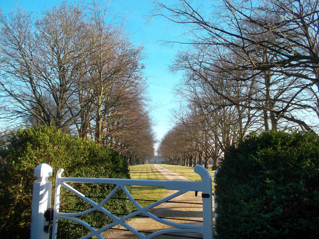
Ashen Copse is a picturesque wood located in Oxfordshire, England. Covering an area of approximately 100 acres, it is a popular destination for nature enthusiasts and hikers. The copse is situated on the outskirts of the village of Ashendon, just a few miles away from the historic town of Aylesbury.

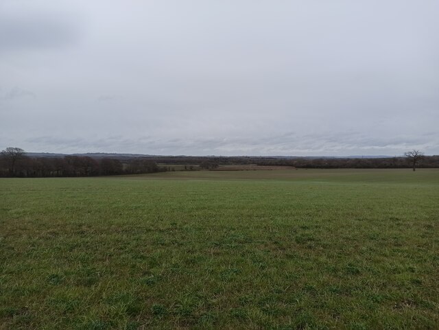
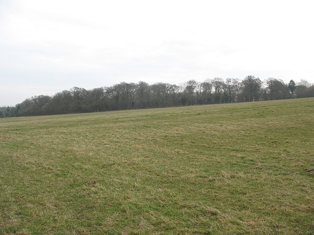
The wood is primarily composed of mature deciduous trees, including oak, beech, and birch. These majestic trees create a dense canopy that provides shade and shelter for a variety of wildlife. The forest floor is covered in a thick carpet of moss and ferns, adding to the enchanting atmosphere of the copse.

A network of well-maintained footpaths and trails wind through the wood, allowing visitors to explore its natural beauty. These paths lead to hidden glades, babbling brooks, and small clearings where one can rest and enjoy the tranquility of the surroundings. Birdsong is a constant companion, as the copse is home to a diverse range of avian species such as woodpeckers, owls, and thrushes.

Ashen Copse is also notable for its rich biodiversity. It is home to a variety of mammals, including deer, foxes, and rabbits. The copse is also a haven for insects, with butterflies and dragonflies flitting among the wildflowers that dot the forest floor.

Visitors to Ashen Copse can partake in activities such as birdwatching, photography, and picnicking. The wood is open to the public throughout the year, and its natural beauty is particularly striking during the autumn months when the leaves change color, creating a breathtaking display of reds, yellows, and oranges.

If you have any feedback on the listing, please let us know in the comments section below.

Ashen Copse Images

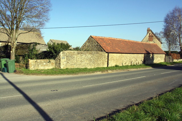
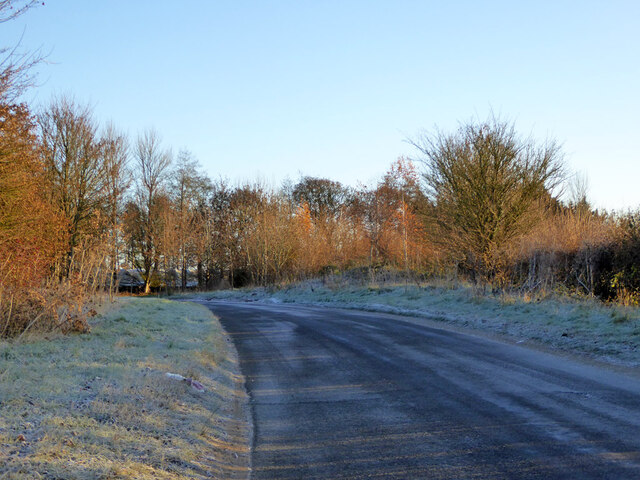
Images are sourced within 2km of 51.771285/-1.1719396 or Grid Reference SP5708. Thanks to Geograph Open Source API. All images are credited.
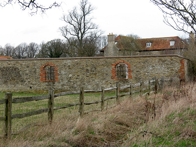
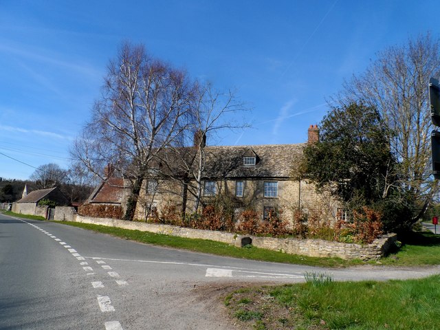
Derelict building at Woodperry This looks to have been a residential building, about 17m x 10m from the aerial photo, but has now lost its roof.
Derelict building at Woodperry
This looks to have been a residential building, about 17m x 10m from the aerial photo, but has now lost its roof.
Dovecot at Woodperry Woodperry is a grand house in the Palladian (symmetric) style.  The earliest parts of the building date from 1728 (the design is attributed to William Townsend) and extended at various times, principally in 1880. It was originally built for John Morse, a London goldsmith and banker.  [source: <span class="nowrap"><a title="http://oxford-consultants.tripod.com/woodperry_house.htm" rel="nofollow ugc noopener" href="http://oxford-consultants.tripod.com/woodperry_house.htm">Link</a><img style="margin-left:2px;" alt="External link" title="External link - shift click to open in new window" src="https://s1.geograph.org.uk/img/external.png" width="10" height="10"/></span> ]

The name 'Woodperry' is derived from the Old English wudu-pyrige, 'the pear-tree near the wood'.  There was formerly a Woodperry village that disappeared some time after 1540; there were excavations in the 1950s. [source: <span class="nowrap"><a title="http://www.british-history.ac.uk/report.aspx?compid=101899" rel="nofollow ugc noopener" href="http://www.british-history.ac.uk/report.aspx?compid=101899">Link</a><img style="margin-left:2px;" alt="External link" title="External link - shift click to open in new window" src="https://s1.geograph.org.uk/img/external.png" width="10" height="10"/></span> ]
  
As of 2007 it was owned by financier Pierre Lagrange.
Dovecot at Woodperry
Woodperry is a grand house in the Palladian (symmetric) style. The earliest parts of the building date from 1728 (the design is attributed to William Townsend) and extended at various times, principally in 1880. It was originally built for John Morse, a London goldsmith and banker. [source: LinkExternal link ] The name 'Woodperry' is derived from the Old English wudu-pyrige, 'the pear-tree near the wood'. There was formerly a Woodperry village that disappeared some time after 1540; there were excavations in the 1950s. [source: LinkExternal link ] As of 2007 it was owned by financier Pierre Lagrange.
Grand Avenue at Woodperry Looking west along the grand avenue; the functional entrance (with lodge and bus-stop) is along a track at right angles to this at <a href="https://www.geograph.org.uk/gridref/SP57371049">SP57371049</a>.
Grand Avenue at Woodperry
Looking west along the grand avenue; the functional entrance (with lodge and bus-stop) is along a track at right angles to this at SP57371049.
The former New Inn The building presumably gave its name to New Inn Farm opposite, and to New Inn Road (right of photo).
The former New Inn
The building presumably gave its name to New Inn Farm opposite, and to New Inn Road (right of photo).
The road from Beckley meets the B4027
Gate and Avenue, Woodperry House
New Inn Farmhouse, Beckley Built in C18 as an inn. See <span class="nowrap"><a title="http://www.britishlistedbuildings.co.uk/en-246526-new-inn-farmhouse-beckley-and-stowood-ox" rel="nofollow ugc noopener" href="http://www.britishlistedbuildings.co.uk/en-246526-new-inn-farmhouse-beckley-and-stowood-ox">Link</a><img style="margin-left:2px;" alt="External link" title="External link - shift click to open in new window" src="https://s1.geograph.org.uk/img/external.png" width="10" height="10"/></span> for entry in British Listed Buildings.
New Inn Farmhouse, Beckley
Built in C18 as an inn. See LinkExternal link for entry in British Listed Buildings.
Old Boundary Marker by the B4027, Stow Wood, Beckley Parish Boundary Marker by the B4027, in parish of Beckley and Stow Wood (South Oxfordshire District), beside Stow Wood, 150m SE of Royal Oak Farm (PYO farm shop), behind wide grass verge, beside end of field hedge line; opposite where public footpath emerges.

Surveyed

Milestone Society National ID: OX_LWI52Mpb.
Old Boundary Marker by the B4027, Stow Wood, Beckley
Parish Boundary Marker by the B4027, in parish of Beckley and Stow Wood (South Oxfordshire District), beside Stow Wood, 150m SE of Royal Oak Farm (PYO farm shop), behind wide grass verge, beside end of field hedge line; opposite where public footpath emerges. Surveyed Milestone Society National ID: OX_LWI52Mpb.
Benchmark on New Inn Farm wall Ordnance Survey cut mark benchmark described on the Bench Mark Database at <span class="nowrap"><a title="www.bench-marks.org.uk/bm68348" rel="nofollow ugc noopener" href="http://www.bench-marks.org.uk/bm68348">Link</a><img style="margin-left:2px;" alt="External link" title="External link - shift click to open in new window" src="https://s1.geograph.org.uk/img/external.png" width="10" height="10"/></span>
Benchmark on New Inn Farm wall
Ordnance Survey cut mark benchmark described on the Bench Mark Database at LinkExternal link
Barn at New Inn Farm beside B4027 There is an OS benchmark <a href="https://www.geograph.org.uk/photo/6076251">SP5610 : Benchmark on New Inn Farm wall</a> on the wall angle at the left hand end of the stone wall at the junction with the lower stone wall and below farm name sign
Barn at New Inn Farm beside B4027
There is an OS benchmark SP5610 : Benchmark on New Inn Farm wall on the wall angle at the left hand end of the stone wall at the junction with the lower stone wall and below farm name sign
Boundary stone beside B4027
Boundary stone on verge of B4027 opposite Royal Oak Farm There is an closeup image of the stone at <a href="https://www.geograph.org.uk/photo/6077058">SP5610 : Boundary stone beside B4027</a>
Boundary stone on verge of B4027 opposite Royal Oak Farm
There is an closeup image of the stone at SP5610 : Boundary stone beside B4027
Houses on North Way, Barton, Oxford
Road towards Stanton St John It does not appear to have a name.
Road towards Stanton St John
It does not appear to have a name.
Minchin Court Farm
Minchin Court Farm
Breach Farm
Breach Farm
Breach Farm
Breach Farm
Stanton St John Church
Show me another place!

Ashen Copse is located at Grid Ref: SP5708 (Lat: 51.771285, Lng: -1.1719396)

Administrative County: Oxfordshire

District: South Oxfordshire

Police Authority: Thames Valley

What 3 Words

///area.sleep.liked. Near Wheatley, Oxfordshire

Nearby Locations

Ashen Copse

Related Wikis

Stanton St. John

Stanton St. John is a village and civil parish in Oxfordshire about 4.5 miles (7 km) northeast of the centre of Oxford. The village is 330 feet (100 m...

Brasenose Wood and Shotover Hill

Brasenose Wood and Shotover Hill is a 109.2-hectare (270-acre) biological Site of Special Scientific Interest on the eastern outskirts of Oxford in Oxfordshire...

Forest Hill, Oxfordshire

Forest Hill is a village in the civil parish of Forest Hill with Shotover, in the South Oxfordshire district, in Oxfordshire, England, about 4.5 miles...

Risinghurst and Sandhills

Risinghurst and Sandhills is a civil parish in the city of Oxford, Oxfordshire, England. It consists of Risinghurst and Sandhills, two areas in the east...

Forest Hill with Shotover

Forest Hill with Shotover is a civil parish covering 7.56 kmĀ² of South Oxfordshire approximately centred 3 miles (4.8 km) east of Oxford. Its population...

Barton, Oxfordshire

Barton is a suburb of Oxford, England on the city's eastern edge. Barton is just outside the Northern By-Pass Road, north of Headington Roundabout where...

Stanton Great Wood

Stanton Great Wood is a 58.2-hectare (144-acre) biological Site of Special Scientific Interest north-east of Oxford in Oxfordshire.This coppice with standards...

Risinghurst

Risinghurst is an outlying residential area of Oxford, England, just outside the Eastern Bypass Road which forms part of the Oxford ring road. It is about...

Nearby Amenities

Located within 500m of 51.771285,-1.1719396
Power: pole
Lat/Long: 51.7710081/-1.1701684
Power: pole
Lat/Long: 51.7734008/-1.170881
Power: pole
Lat/Long: 51.7753148/-1.1713998
Power: pole
Lat/Long: 51.7717817/-1.1703901
Power: pole
Lat/Long: 51.7700935/-1.1698942
Power: pole
Lat/Long: 51.7725863/-1.1706359
Power: pole
Lat/Long: 51.7692764/-1.169704
Power: pole
Lat/Long: 51.7728881/-1.1676742
Power: pole
Lat/Long: 51.7717761/-1.168271
Power: pole
Lat/Long: 51.769479/-1.1695156
Power: pole
Lat/Long: 51.7708176/-1.1687967
Power: pole
Lat/Long: 51.7739918/-1.1670935
Power: pole
Source: Bing
Lat/Long: 51.7743053/-1.1711277
Power: pole
Lat/Long: 51.7682699/-1.1693974
Power: pole
Lat/Long: 51.7673694/-1.1690846
The data included in this document is from www.openstreetmap.org. The data is made available under ODbL.

Have you been to Ashen Copse?

Leave your review of Ashen Copse below (or comments, questions and feedback).