Woodfield Plantation
Wood, Forest in Yorkshire
England
Woodfield Plantation
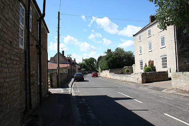
Woodfield Plantation is a picturesque area located in Yorkshire, England. Situated in the heart of the county, it covers a vast expanse of land, predominantly covered by dense forests and woodlands. The name "Woodfield" aptly describes the abundant presence of trees and greenery that characterizes this idyllic region.
The plantation boasts an impressive array of native tree species, including oak, beech, and ash, providing a haven for wildlife and a tranquil environment for visitors. The forested landscape is intersected by meandering streams and small rivers, further enhancing the natural beauty of the area.
Woodfield Plantation is not only renowned for its natural wonders but also for its historical significance. The region has a rich heritage, with evidence of human habitation dating back centuries. Remnants of ancient settlements, including burial mounds and stone circles, have been discovered, offering insights into the lives of past civilizations.
Today, Woodfield Plantation attracts nature enthusiasts, hikers, and those seeking a peaceful retreat from the hustle and bustle of urban life. The well-maintained trails and pathways offer ample opportunities for outdoor activities such as walking, cycling, and birdwatching. The plantation also provides a habitat for a diverse range of wildlife, including deer, foxes, and numerous bird species.
In addition to its natural and historical attractions, Woodfield Plantation is home to a charming village that offers amenities such as quaint pubs, cozy bed and breakfasts, and local shops selling handmade crafts and produce.
Overall, Woodfield Plantation is a gem in the heart of Yorkshire, offering a harmonious blend of natural beauty, historical significance, and a peaceful countryside experience.
If you have any feedback on the listing, please let us know in the comments section below.
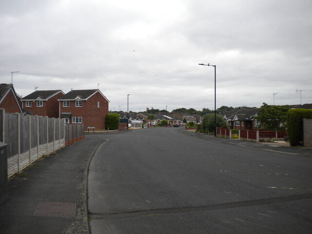
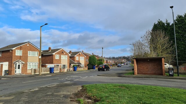
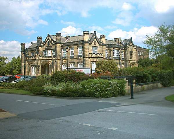
Woodfield Plantation Images
Images are sourced within 2km of 53.492362/-1.1388954 or Grid Reference SK5799. Thanks to Geograph Open Source API. All images are credited.


Woodfield Plantation is located at Grid Ref: SK5799 (Lat: 53.492362, Lng: -1.1388954)
Division: West Riding
Unitary Authority: Doncaster
Police Authority: South Yorkshire
What 3 Words
///intention.friction.patching. Near Wadworth, South Yorkshire
Related Wikis

Don Valley (UK Parliament constituency)
Don Valley is a constituency in South Yorkshire represented in the House of Commons of the UK Parliament since 2019 by Nick Fletcher of the Conservative...
St Catherine's Hospital, Doncaster
St Catherine's Hospital was a mental healthcare hospital located in Doncaster, South Yorkshire, England, approximately three miles (4.8 km) from its centre...
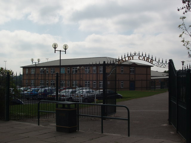
Astrea Academy Woodfields
Astrea Academy Woodfields is a secondary school and sixth form located in the Balby area of Doncaster in the English county of South Yorkshire. The school...

Tickhill Road Hospital
The Tickhill Road Hospital is a small hospital at Tickhill Road in Doncaster, South Yorkshire. It is managed by the Rotherham Doncaster and South Humber...
Loversall
Loversall is a village and civil parish in the Metropolitan Borough of Doncaster in South Yorkshire, England. It has a population of 128, increasing to...

Balby South (ward)
Balby South—consisting of the southern part of the suburb of Balby—is one of 21 electoral wards in the Doncaster district, in the county of South Yorkshire...

Potteric Carr
Potteric Carr is a large area of land to the southeast of Doncaster, in Yorkshire, England, over 3,000 acres (12 km2) in size. == History == One of the...
Balby
Balby is a suburb of Doncaster in South Yorkshire, England. Historically part of the West Riding of Yorkshire, Balby is within the Doncaster Central constituency...
Nearby Amenities
Located within 500m of 53.492362,-1.1388954Have you been to Woodfield Plantation?
Leave your review of Woodfield Plantation below (or comments, questions and feedback).