Cottisford Plantation
Wood, Forest in Oxfordshire Cherwell
England
Cottisford Plantation

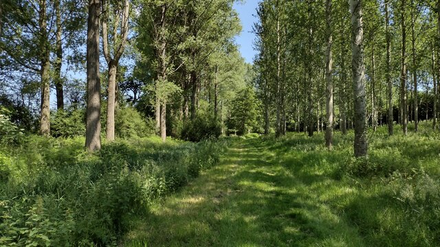
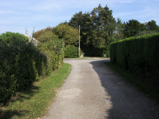
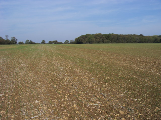
Cottisford Plantation is a quaint and picturesque woodland located in Oxfordshire, England. Situated in the village of Cottisford, this plantation covers an area of approximately 50 acres, making it a significant natural habitat within the region. The plantation is primarily composed of a mixed deciduous forest, with a variety of tree species including oak, beech, birch, and chestnut.
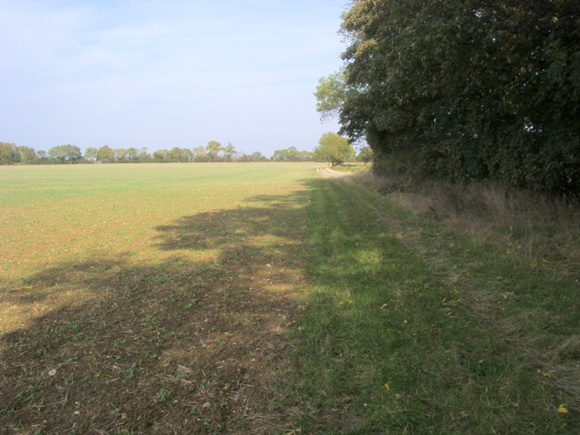
The woodland boasts a diverse ecosystem, providing a habitat for numerous wildlife species. Visitors to Cottisford Plantation may spot a wide range of bird species, such as the red kite, tawny owl, and great spotted woodpecker. Small mammals like foxes, badgers, and squirrels also call this woodland home, adding to the richness of its biodiversity.
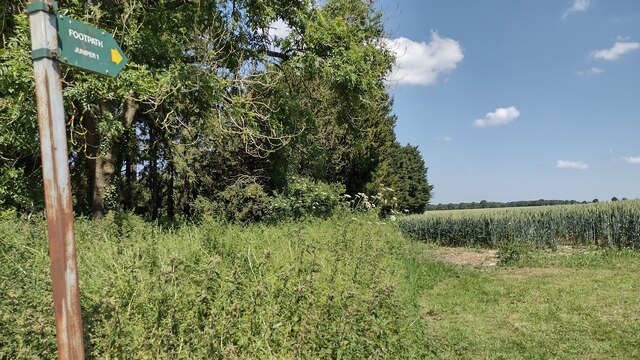
The plantation offers several well-maintained walking trails, allowing visitors to explore and appreciate its natural beauty. These trails wind through the dense woodland, providing an immersive experience for nature enthusiasts and hikers alike. During spring, the woodland floor is adorned with beautiful carpets of bluebells, creating a stunning visual display.
Cottisford Plantation is not only a haven for wildlife and outdoor enthusiasts but also holds historical significance. It is believed that the woodland has been in existence for hundreds of years, possibly dating back to the medieval period. The plantation has remained relatively untouched, preserving its charm and ecological importance.
Overall, Cottisford Plantation is a hidden gem in Oxfordshire, offering a tranquil escape into nature and showcasing the beauty of England's woodlands.
If you have any feedback on the listing, please let us know in the comments section below.
Cottisford Plantation Images
Images are sourced within 2km of 51.980598/-1.1680869 or Grid Reference SP5731. Thanks to Geograph Open Source API. All images are credited.


Cottisford Plantation is located at Grid Ref: SP5731 (Lat: 51.980598, Lng: -1.1680869)
Administrative County: Oxfordshire
District: Cherwell
Police Authority: Thames Valley
What 3 Words
///booms.yield.emptied. Near Brackley, Northamptonshire
Nearby Locations
Related Wikis
Juniper Hill
Juniper Hill is a hamlet in the civil parish of Cottisford in Oxfordshire, England, 2 miles (3.2 km) south of Brackley in neighbouring Northamptonshire...

Hardwick with Tusmore
Hardwick with Tusmore is a civil parish in Oxfordshire, England. It was formed in 1932 by merger of the parishes of Hardwick (grid reference SP5729) and...

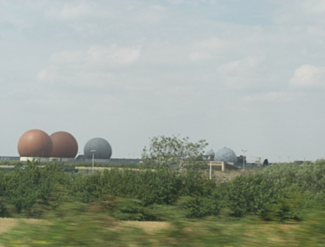
RAF Croughton
Royal Air Force Croughton or more simply RAF Croughton is a Royal Air Force station which is currently a United States Air Force communications station...
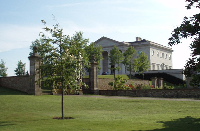
Tusmore, Oxfordshire
Tusmore is a settlement about 5+1⁄2 miles (9 km) north of Bicester in Oxfordshire. It is the location of the Tusmore country house and estate. == Manor... ==

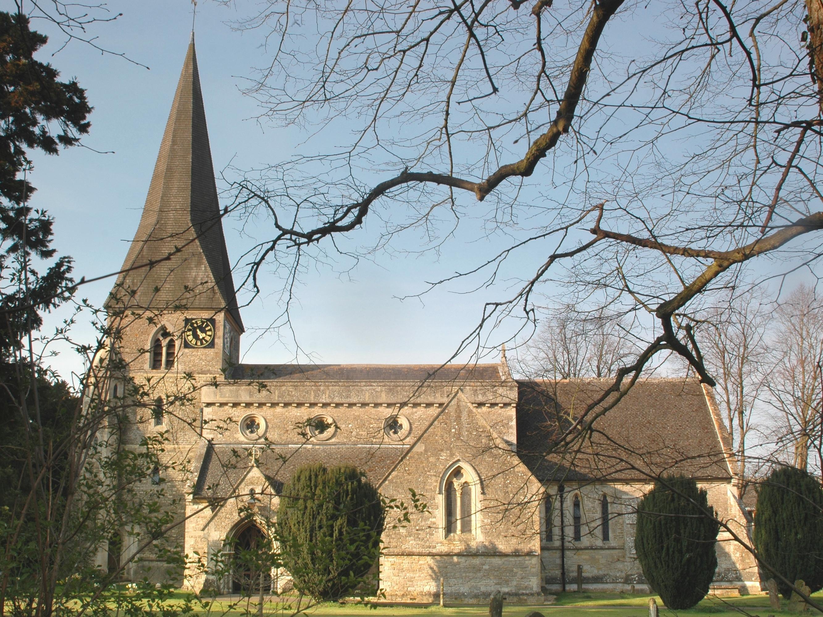
Cottisford
Cottisford is a village and civil parish in Oxfordshire, about 3.5 miles (5.6 km) south of Brackley in neighbouring Northamptonshire. The parish's northern...

Hardwick, Cherwell
Hardwick is a village in the civil parish of Hardwick with Tusmore about 4.5 miles (7 km) north of Bicester in Oxfordshire. == Manor == The village's toponym...
Death of Harry Dunn
Harry Dunn was a 19-year-old British man who died following a road traffic collision on 27 August 2019. He was riding his motorcycle near Croughton, Northamptonshire...
Evenley
Evenley is a village and civil parish just over 1 mile (1.6 km) south of Brackley in West Northamptonshire, England. The 2011 Census recorded the parish...
Nearby Amenities
Located within 500m of 51.980598,-1.1680869Have you been to Cottisford Plantation?
Leave your review of Cottisford Plantation below (or comments, questions and feedback).