Big Wood
Wood, Forest in Nottinghamshire Gedling
England
Big Wood
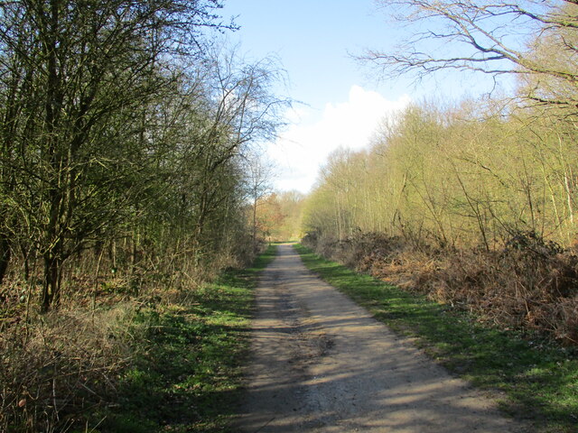
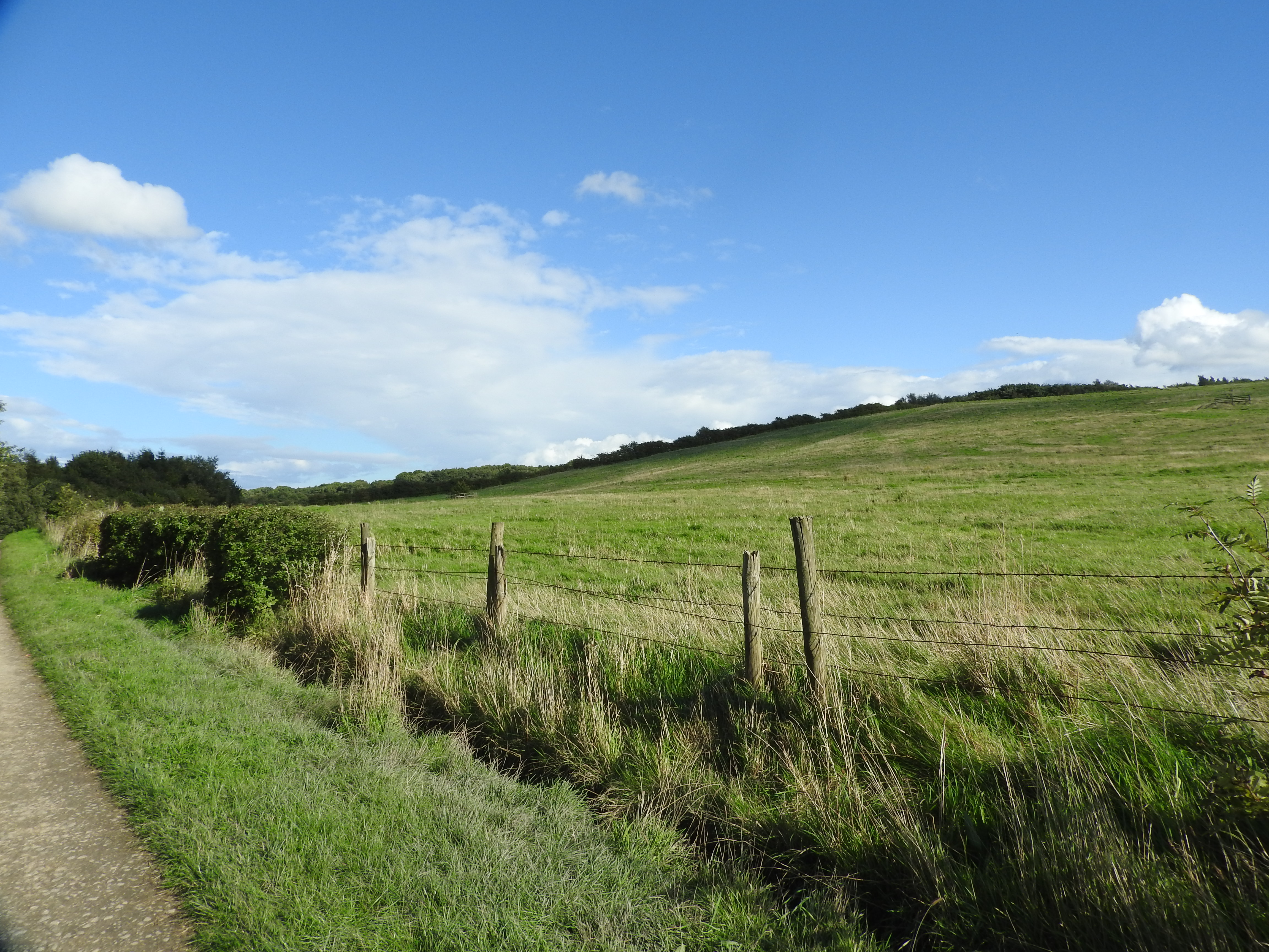
Big Wood is a large forested area located in the county of Nottinghamshire, England. Covering an expansive area of approximately 500 hectares, it is a significant natural landmark in the region. The wood is situated near the town of Woodhouse, and its borders extend towards the neighboring towns of Arnold and Hucknall.
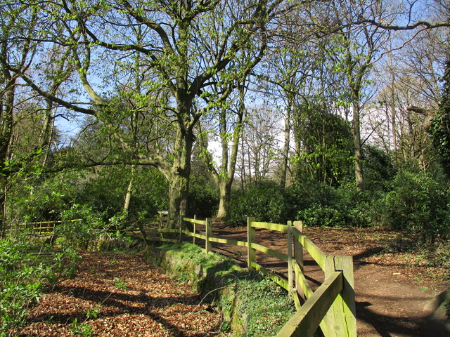
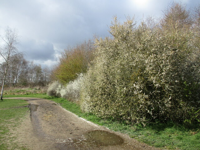
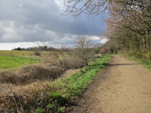
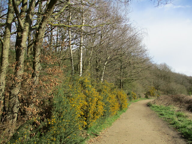
The woodland is characterized by its diverse range of tree species, including oak, birch, beech, and pine. The dense canopy of the forest creates a serene and tranquil atmosphere, making it a popular destination for nature enthusiasts, hikers, and wildlife observers. The wood is home to a wide variety of animal species, such as deer, foxes, badgers, and numerous bird species.
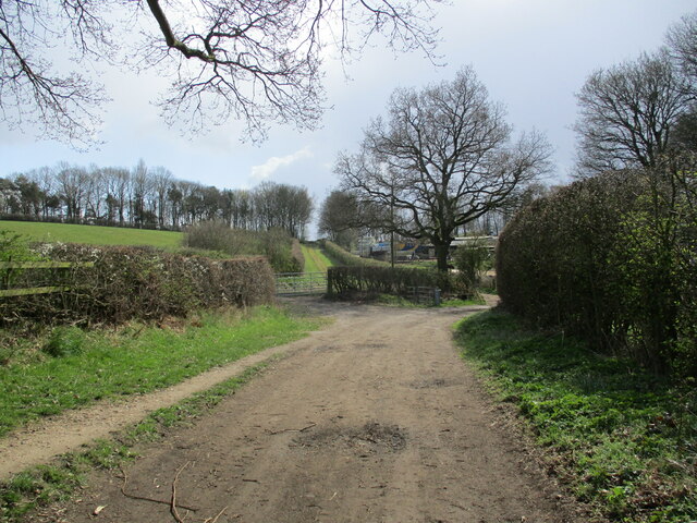
Big Wood is intersected by several walking paths and trails, providing visitors with the opportunity to explore its natural beauty. Additionally, there are designated picnic areas and benches scattered throughout the woodland, allowing visitors to relax and enjoy the peaceful surroundings.
The forest is managed by the local authorities, who work diligently to maintain its ecological balance and preserve its natural habitats. Conservation efforts are also in place to protect and enhance the woodland's biodiversity.
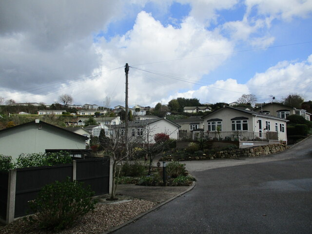
Due to its proximity to urban areas, Big Wood serves as an important recreational space for local residents, providing a much-needed escape from the hustle and bustle of city life. The wood also plays a significant role in promoting environmental education and awareness, with various educational programs and guided tours organized for schools and community groups.
In conclusion, Big Wood in Nottinghamshire is a picturesque forested area, offering a haven of tranquility and natural beauty for visitors to enjoy.
If you have any feedback on the listing, please let us know in the comments section below.
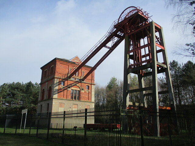
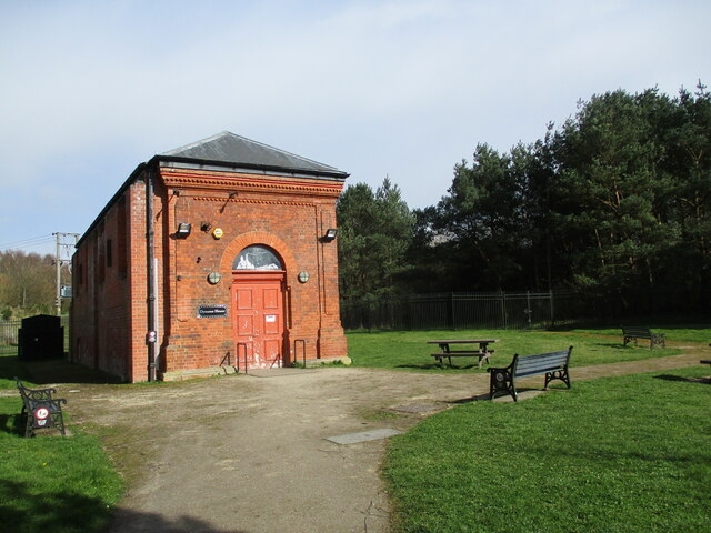
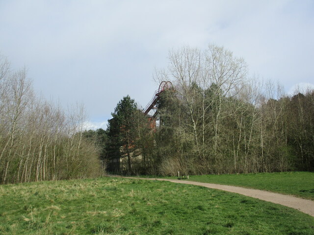
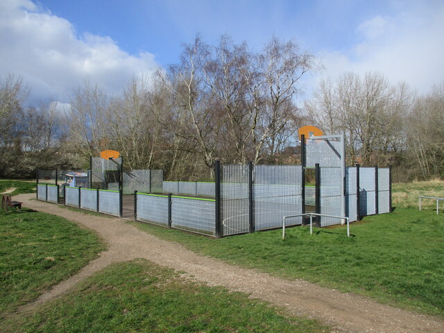
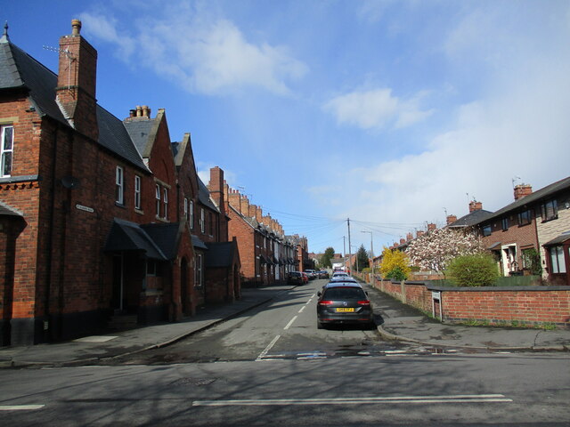
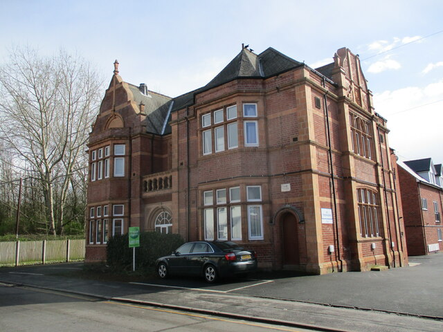
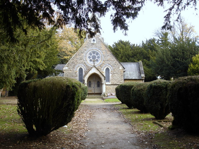
Big Wood Images
Images are sourced within 2km of 53.019516/-1.1586679 or Grid Reference SK5647. Thanks to Geograph Open Source API. All images are credited.
Big Wood is located at Grid Ref: SK5647 (Lat: 53.019516, Lng: -1.1586679)
Administrative County: Nottinghamshire
District: Gedling
Police Authority: Nottinghamshire
What 3 Words
///fake.grab.ties. Near Arnold, Nottinghamshire
Nearby Locations
Related Wikis

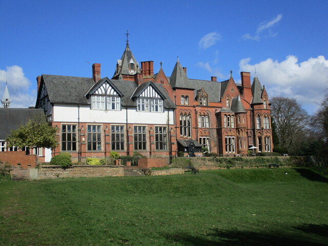
The Oakwood Academy
The Oakwood Academy (formerly Big Wood School)' is a secondary school located on Bewcastle Road, Warren Hill, Nottingham, England. It is for 11- to 16...
Warren Hill, Nottinghamshire
Warren Hill is an area within the market town of Arnold in the English ceremonial county of Nottinghamshire. Located in the civil parish of St. Albans...

St Albans, Nottinghamshire
St. Albans is a civil parish in the Gedling borough of Nottinghamshire, England. It was part of the wider Bestwood St. Albans parish, which ceased to exist...
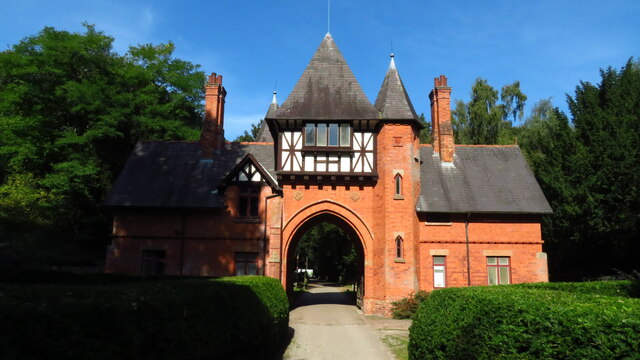
Bestwood Country Park
Bestwood Country Park is a country park near Bestwood Village, Nottinghamshire, England. Bestwood was a hunting estate owned by the Crown from the medieval...
Nearby Amenities
Located within 500m of 53.019516,-1.1586679Have you been to Big Wood?
Leave your review of Big Wood below (or comments, questions and feedback).