St Catherine's Plantation
Wood, Forest in Yorkshire
England
St Catherine's Plantation

St Catherine's Plantation is a picturesque woodland located in the heart of Yorkshire, England. Covering an area of approximately 500 acres, this enchanting forest is a haven for nature enthusiasts and outdoor lovers alike. The plantation is situated just a few miles from the historic town of Wood, making it easily accessible for visitors.
The woodland is characterized by its diverse range of trees, including oak, beech, and birch. These majestic trees create a dense canopy, providing shelter and food for a variety of wildlife species. From the melodious songs of birds to the scurrying of small mammals, St Catherine's Plantation is teeming with life.
A network of well-maintained trails winds its way through the woodland, offering visitors the opportunity to explore this natural treasure. Hikers can meander through the ancient woodland, breathing in the crisp, fresh air and enjoying the tranquility that only nature can provide. The trails are suitable for all levels of fitness, with options for leisurely strolls or more challenging hikes.
Throughout the year, the plantation showcases the changing beauty of the seasons. In spring, vibrant wildflowers carpet the forest floor, while autumn brings a riot of colors as the leaves turn golden and crimson. During the winter months, a dusting of snow transforms the plantation into a winter wonderland.
For those seeking a peaceful retreat away from the bustling cities, St Catherine's Plantation offers a serene escape into nature's embrace. Whether for a leisurely walk, birdwatching, or simply enjoying the tranquility, this woodland sanctuary is a must-visit destination for nature lovers in Yorkshire.
If you have any feedback on the listing, please let us know in the comments section below.
St Catherine's Plantation Images
Images are sourced within 2km of 53.495268/-1.1493431 or Grid Reference SE5600. Thanks to Geograph Open Source API. All images are credited.


St Catherine's Plantation is located at Grid Ref: SE5600 (Lat: 53.495268, Lng: -1.1493431)
Division: West Riding
Unitary Authority: Doncaster
Police Authority: South Yorkshire
What 3 Words
///refusals.ripples.sleepless. Near Wadworth, South Yorkshire
Nearby Locations
Related Wikis
St Catherine's Hospital, Doncaster
St Catherine's Hospital was a mental healthcare hospital located in Doncaster, South Yorkshire, England, approximately three miles (4.8 km) from its centre...

Tickhill Road Hospital
The Tickhill Road Hospital is a small hospital at Tickhill Road in Doncaster, South Yorkshire. It is managed by the Rotherham Doncaster and South Humber...

Balby South (ward)
Balby South—consisting of the southern part of the suburb of Balby—is one of 21 electoral wards in the Doncaster district, in the county of South Yorkshire...
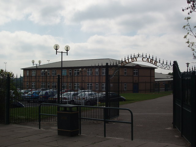
Astrea Academy Woodfields
Astrea Academy Woodfields is a secondary school and sixth form located in the Balby area of Doncaster in the English county of South Yorkshire. The school...
Nearby Amenities
Located within 500m of 53.495268,-1.1493431Have you been to St Catherine's Plantation?
Leave your review of St Catherine's Plantation below (or comments, questions and feedback).