Warrenhill Plantation

Wood, Forest in Nottinghamshire Gedling

England

Warrenhill Plantation

Alexandra Lodges, Big Wood, Bestwood Village
Alexandra Lodges, Big Wood, Bestwood Village Credit: Colin Park

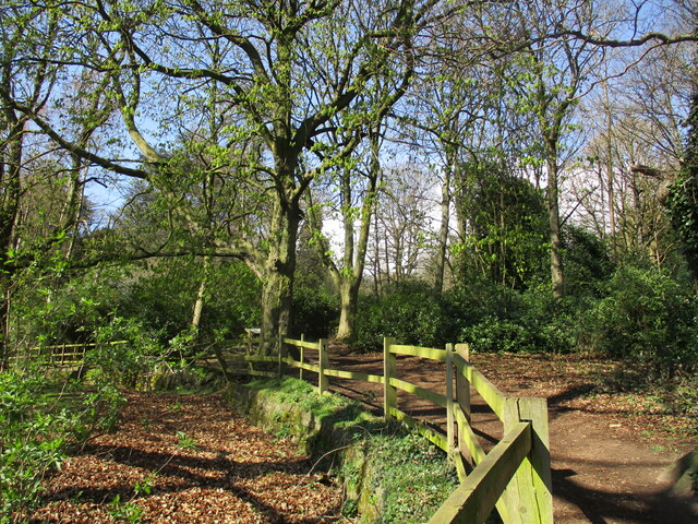
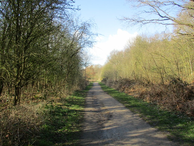
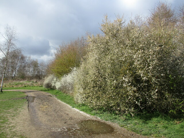
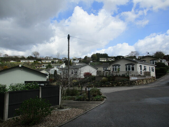
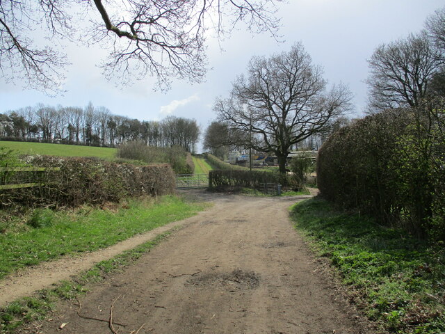
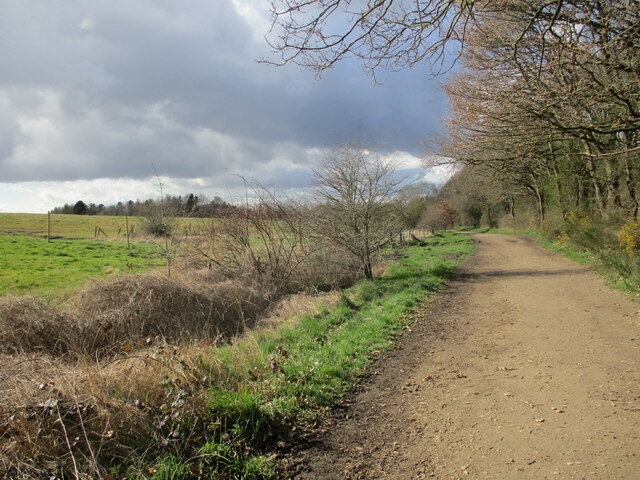
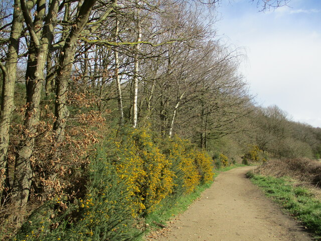
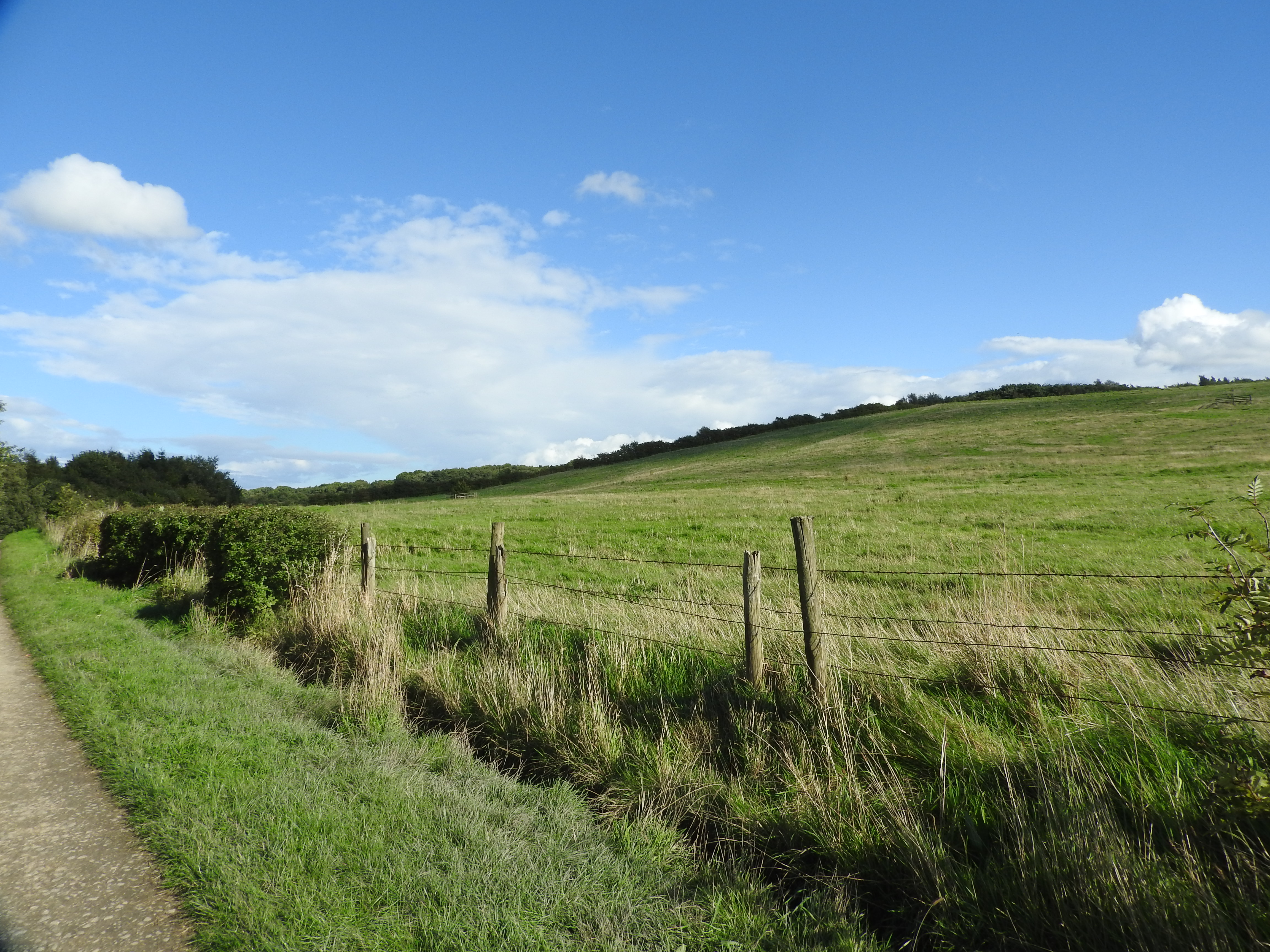
Warrenhill Plantation is a scenic woodland area located in Nottinghamshire, England. Situated within the heart of Sherwood Forest, the plantation spans over a vast area of approximately 500 acres. It is renowned for its diverse range of trees and rich biodiversity, making it a popular destination for nature lovers and outdoor enthusiasts.

The woodland is predominantly composed of broadleaf trees, such as oak, beech, and birch, which create a picturesque landscape throughout the year. These trees provide a habitat for various wildlife species, including birds, mammals, and insects. Visitors to Warrenhill Plantation can often spot squirrels, deer, and a wide range of bird species, making it a haven for wildlife enthusiasts.

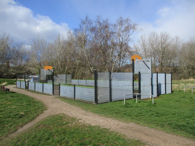
The plantation offers several walking trails and paths, allowing visitors to explore the woodland at their own pace. There are also picnic areas and seating spots scattered throughout the site, providing a perfect setting for a relaxing day out surrounded by nature.

Warrenhill Plantation holds historical significance as it forms part of the legendary Sherwood Forest, which is famously associated with the tales of Robin Hood. The plantation is also home to the Major Oak, a colossal oak tree estimated to be over 800 years old. This ancient tree has become an iconic symbol and a major attraction within the woodland.

Overall, Warrenhill Plantation is a remarkable natural treasure in Nottinghamshire, offering a serene and tranquil environment for nature enthusiasts to immerse themselves in the beauty of Sherwood Forest. Whether it's for a leisurely stroll, birdwatching, or simply enjoying a picnic amidst nature, this woodland offers a unique and unforgettable experience for all who visit.

If you have any feedback on the listing, please let us know in the comments section below.

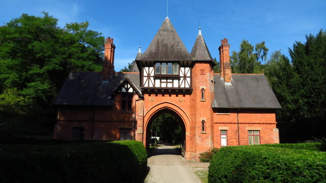
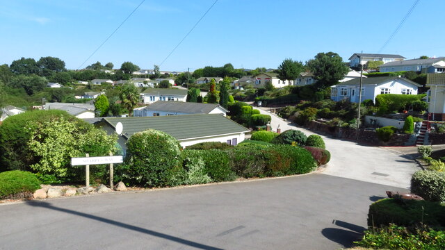
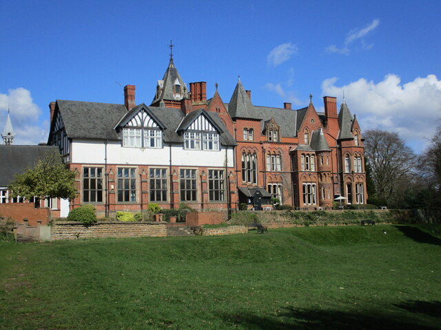
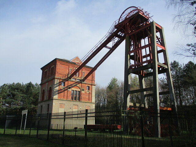
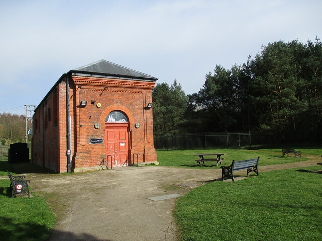
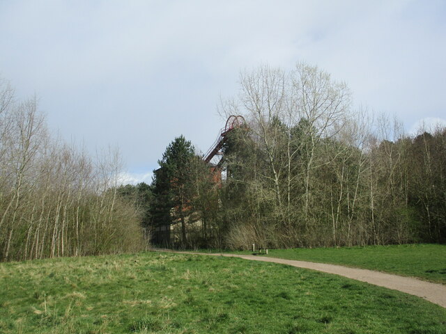
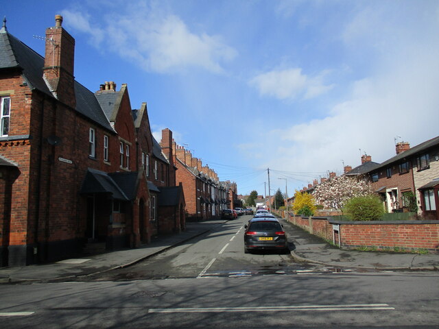
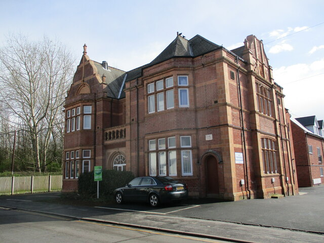
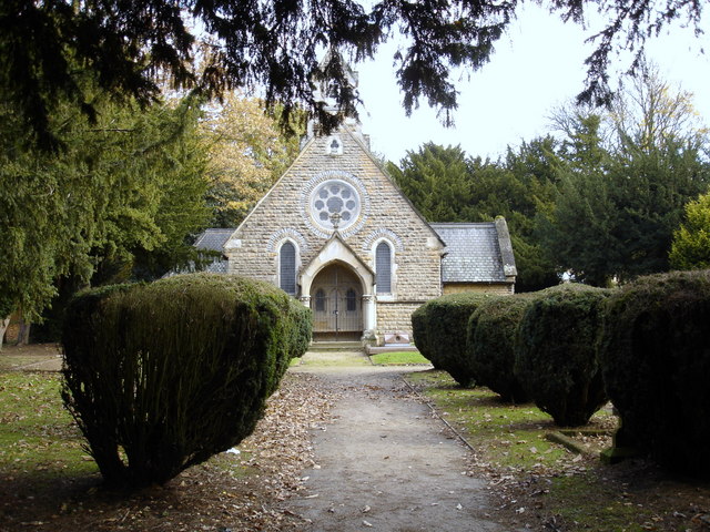
Warrenhill Plantation Images

Images are sourced within 2km of 53.021497/-1.1552154 or Grid Reference SK5647. Thanks to Geograph Open Source API. All images are credited.

Alexandra Lodges, Big Wood, Bestwood Village
Killarney Park, Bestwood Village
Footpath along the edge of Lodge Gardens
Bestwood Lodge A large country house built for the 10th Duke of St. Albans. Designed by S.S. Teulon 1862. Now a hotel. <span class="nowrap"><a title="https://historicengland.org.uk/listing/the-list/list-entry/1227444?section=official-list-entry" rel="nofollow ugc noopener" href="https://historicengland.org.uk/listing/the-list/list-entry/1227444?section=official-list-entry">Link</a><img style="margin-left:2px;" alt="External link" title="External link - shift click to open in new window" src="https://s1.geograph.org.uk/img/external.png" width="10" height="10"/></span>
Bestwood Lodge
A large country house built for the 10th Duke of St. Albans. Designed by S.S. Teulon 1862. Now a hotel. LinkExternal link
Track to Bestwood Village, Bestwood Country Park
Footpath and blackthorn, Bestwood Country Park
New housing and balancing pond, Bestwood Village
Farm buildings below Hilltop Farm, Goosedale
Killarney Park Settlement of 'mobile homes' with wide views. Walking through here I suddenly felt that I was somewhere on the South Devon Coast!
Killarney Park
Settlement of 'mobile homes' with wide views. Walking through here I suddenly felt that I was somewhere on the South Devon Coast!
Footpath approaching Violet Hill
Track to Bestwood Village, Bestwood Country Park
Gorse by a track, Bestwood Country Park
Winding House and Headstocks at the former Bestwood Colliery Date from 1873 <span class="nowrap"><a title="https://historicengland.org.uk/listing/the-list/list-entry/1235186?section=official-list-entry" rel="nofollow ugc noopener" href="https://historicengland.org.uk/listing/the-list/list-entry/1235186?section=official-list-entry">Link</a><img style="margin-left:2px;" alt="External link" title="External link - shift click to open in new window" src="https://s1.geograph.org.uk/img/external.png" width="10" height="10"/></span> The colliery closed in 1967.
Winding House and Headstocks at the former Bestwood Colliery
Date from 1873 LinkExternal link The colliery closed in 1967.
Dynamo House at the former Bestwood Colliery
Trees around the Winding House and Headstocks at the former Bestwood Colliery
MUGA at Bestwood Village Multi Use Games Area,
MUGA at Bestwood Village
Multi Use Games Area,
St, Albans Road, Bestwood Village Nineteenth century colliery housing on the left,
St, Albans Road, Bestwood Village
Nineteenth century colliery housing on the left,
The former Institute, Bestwood Village This became the Bestwood Hotel but is now in domestic use.
The former Institute, Bestwood Village
This became the Bestwood Hotel but is now in domestic use.
Show me another place!

Warrenhill Plantation is located at Grid Ref: SK5647 (Lat: 53.021497, Lng: -1.1552154)

Administrative County: Nottinghamshire

District: Gedling

Police Authority: Nottinghamshire

What 3 Words

///frosted.linked.type. Near Arnold, Nottinghamshire

Related Wikis

The Oakwood Academy

The Oakwood Academy (formerly Big Wood School)' is a secondary school located on Bewcastle Road, Warren Hill, Nottingham, England. It is for 11- to 16...

St Albans, Nottinghamshire

St. Albans is a civil parish in the Gedling borough of Nottinghamshire, England. It was part of the wider Bestwood St. Albans parish, which ceased to exist...

Warren Hill, Nottinghamshire

Warren Hill is an area within the market town of Arnold in the English ceremonial county of Nottinghamshire. Located in the civil parish of St. Albans...

Bestwood Country Park

Bestwood Country Park is a country park near Bestwood Village, Nottinghamshire, England. Bestwood was a hunting estate owned by the Crown from the medieval...

Bestwood Pumping Station

Bestwood Pumping Station was a water pumping station operating in Nottinghamshire from 1874 until 1964. == History == Bestwood Pumping Station was built...

Bestwood Village

Bestwood Village is an area and civil parish in the Gedling district of Nottinghamshire. Until 1 April 2018 it was part of the civil parish of Bestwood...

Rise Park, Nottingham

Rise Park is a suburb of Nottingham four miles north of the City Centre and three miles north-east of junction 26 of the M1 motorway. It comprises approximately...

Redhill, Nottinghamshire

Redhill () is a small community forming part of the much larger town of Arnold in Nottinghamshire, England. It is approximately 4 miles (6.4 km) north...

Nearby Amenities

Located within 500m of 53.021497,-1.1552154
Ele: 78.9534912
Tourism: information
Lat/Long: 53.0221023/-1.159996
Bench
Backrest: no
Lat/Long: 53.0219029/-1.1605437
Ele: 92.1715088
Lat/Long: 53.0219134/-1.161902
Ele: 87.3648682
Lat/Long: 53.0220625/-1.1610657
Ele: 83.5196533
Lat/Long: 53.0219303/-1.1605372
Ele: 79.6744385
Lat/Long: 53.0219052/-1.1600471
Bench
Backrest: no
Lat/Long: 53.0220571/-1.1590573
Bench
Lat/Long: 53.0215091/-1.1576496
Note: fix me - length incorrect
Lat/Long: 53.0223238/-1.1595736
Ele: 75.3483887
Fixme: Bridleway not seen joining here (2015-06-23)
Lat/Long: 53.0221405/-1.1593499
Ele: 75
Lat/Long: 53.0216741/-1.1587689
Ele: 82.5583496
Lat/Long: 53.0215166/-1.157861
Ele: 83.7598877
Lat/Long: 53.0214663/-1.1576883
Ele: 76.0694580
Lat/Long: 53.0220065/-1.1591917
Ele: 110.4364014
Tourism: information
Lat/Long: 53.0205416/-1.1500008
Bench
Ele: 107.7927246
Lat/Long: 53.0208101/-1.1547858
Bench
Lat/Long: 53.0207585/-1.1514812
Ele: 117.65
Lat/Long: 53.0252276/-1.1514103
Ele: 112.1186523
Lat/Long: 53.0219061/-1.1502824
Barrier: horse_stile
Ele: 110.6766357
Lat/Long: 53.0206175/-1.1498389
Ele: 107.5523682
Lat/Long: 53.0207691/-1.1522077
Ele: 108.0330811
Lat/Long: 53.0207263/-1.1546861
Ele: 107.3120117
Lat/Long: 53.020763/-1.1522565
Ele: 110.1960449
Lat/Long: 53.0207459/-1.1515867
Barrier: cycle_barrier
Lat/Long: 53.0205142/-1.1499836
Fixme: Bridleway not seen joining here (2015-06-23)
Lat/Long: 53.0216891/-1.158789
Totem
Tourism: artwork
Lat/Long: 53.0221316/-1.1603587
Generator Method: photovoltaic
Generator Output Electricity: yes
Generator Source: solar
Generator Type: solar_photovoltaic_panel
Location: roof
Power: generator
Lat/Long: 53.0174287/-1.1575167
Generator Method: photovoltaic
Generator Output Electricity: yes
Generator Source: solar
Generator Type: solar_photovoltaic_panel
Location: roof
Power: generator
Lat/Long: 53.0174182/-1.157689
Generator Method: photovoltaic
Generator Output Electricity: yes
Generator Source: solar
Generator Type: solar_photovoltaic_panel
Location: roof
Power: generator
Lat/Long: 53.0173694/-1.1577641
Bench
Backrest: no
Lat/Long: 53.0211377/-1.1580529
Bench
Backrest: no
Lat/Long: 53.0198527/-1.1555674
Bench
Backrest: no
Lat/Long: 53.0197503/-1.1548898
Waste Basket
Waste: dog_excrement
Lat/Long: 53.0221252/-1.1594297
Covered: no
Leisure: picnic_table
Lat/Long: 53.0211383/-1.1580541
Bench
Backrest: no
Lat/Long: 53.0210703/-1.1579491
Information: board
Tourism: information
Lat/Long: 53.0218457/-1.1590956
Covered: no
Leisure: picnic_table
Lat/Long: 53.0218537/-1.1610792
Covered: no
Leisure: picnic_table
Lat/Long: 53.0219195/-1.1612353
The data included in this document is from www.openstreetmap.org. The data is made available under ODbL.

Have you been to Warrenhill Plantation?

Leave your review of Warrenhill Plantation below (or comments, questions and feedback).