Higher Rookery
Wood, Forest in Oxfordshire Cherwell
England
Higher Rookery

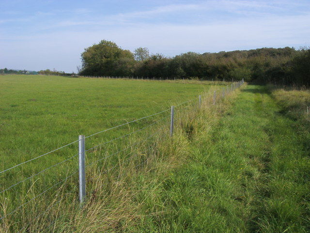
Higher Rookery, located in Oxfordshire, is a picturesque woodland area renowned for its natural beauty and tranquil surroundings. Situated in the heart of the county, this forested region covers a vast expanse of land, offering visitors a chance to immerse themselves in a serene and peaceful environment away from the bustling city life.
The woodlands of Higher Rookery are characterized by a diverse range of tree species, including oak, beech, and birch, creating a rich tapestry of colors throughout the year. The forest floor is adorned with a variety of wildflowers, adding to the enchanting atmosphere of the area. The dense canopy above provides ample shade during the summer months, making it an ideal spot for outdoor activities such as picnicking, birdwatching, and nature walks.
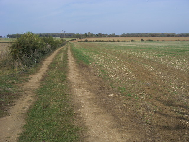
The abundance of wildlife in Higher Rookery is another highlight of the area. Visitors may catch a glimpse of deer, foxes, rabbits, and a myriad of bird species, making it a paradise for nature enthusiasts and photographers. The forest is also home to several nature trails, allowing visitors to explore its hidden gems and discover the beauty of this natural haven.
Access to Higher Rookery is facilitated by well-maintained paths and trails, making it accessible for both casual visitors and avid hikers. The forest is open to the public year-round, providing a peaceful retreat in every season. Whether one seeks solitude and introspection or an active outdoor adventure, Higher Rookery offers a pristine and idyllic setting for all to enjoy.
If you have any feedback on the listing, please let us know in the comments section below.
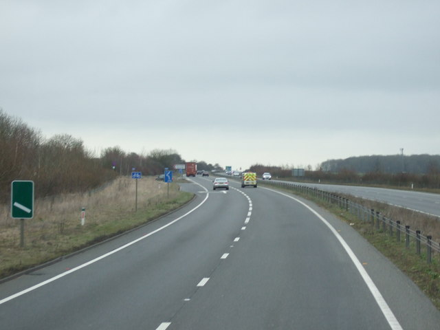
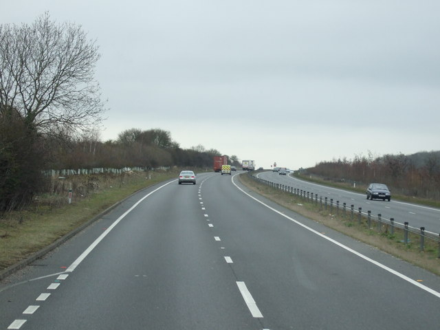
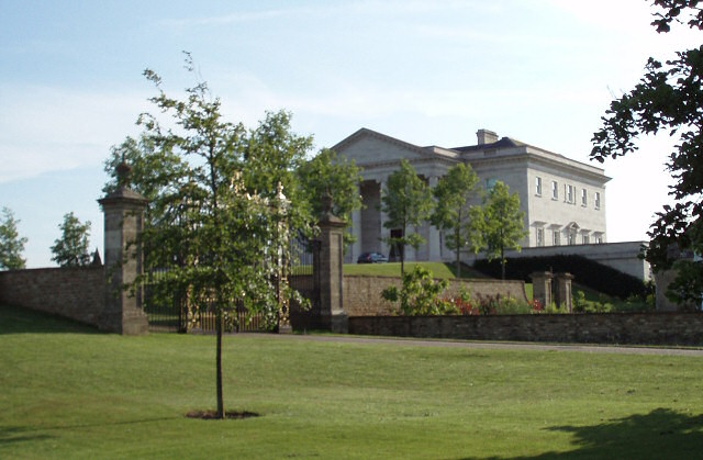
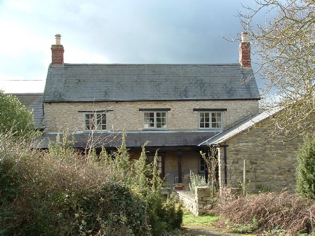
Higher Rookery Images
Images are sourced within 2km of 51.974902/-1.1855167 or Grid Reference SP5631. Thanks to Geograph Open Source API. All images are credited.


Higher Rookery is located at Grid Ref: SP5631 (Lat: 51.974902, Lng: -1.1855167)
Administrative County: Oxfordshire
District: Cherwell
Police Authority: Thames Valley
What 3 Words
///easy.coder.household. Near Somerton, Oxfordshire
Nearby Locations
Related Wikis

Hardwick with Tusmore
Hardwick with Tusmore is a civil parish in Oxfordshire, England. It was formed in 1932 by merger of the parishes of Hardwick (grid reference SP5729) and...
Tusmore, Oxfordshire
Tusmore is a settlement about 5+1⁄2 miles (9 km) north of Bicester in Oxfordshire. It is the location of the Tusmore country house and estate. == Manor... ==

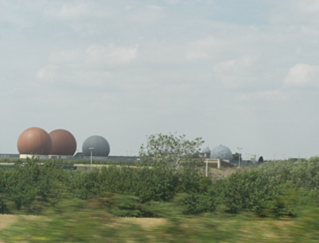
RAF Croughton
Royal Air Force Croughton or more simply RAF Croughton is a Royal Air Force station which is currently a United States Air Force communications station...

Hardwick, Cherwell
Hardwick is a village in the civil parish of Hardwick with Tusmore about 4.5 miles (7 km) north of Bicester in Oxfordshire. == Manor == The village's toponym...
Juniper Hill
Juniper Hill is a hamlet in the civil parish of Cottisford in Oxfordshire, England, 2 miles (3.2 km) south of Brackley in neighbouring Northamptonshire...
Death of Harry Dunn
Harry Dunn was a 19-year-old British man who died following a road traffic collision on 27 August 2019. He was riding his motorcycle near Croughton, Northamptonshire...

Stoke Lyne
Stoke Lyne is a village and civil parish about 4 miles (6.4 km) north of Bicester, Oxfordshire in southern England. == Etymology == The name Stoke Lyne...

Croughton, Northamptonshire
Croughton is a village and civil parish in West Northamptonshire, England, about 3 miles (5 km) southwest of Brackley. The 2011 Census recorded the parish...
Nearby Amenities
Located within 500m of 51.974902,-1.1855167Have you been to Higher Rookery?
Leave your review of Higher Rookery below (or comments, questions and feedback).