Scotland Plantation

Wood, Forest in Berkshire

England

Scotland Plantation

Windmill Lane Off Carbinswood Lane, leading to School Hill.
Windmill Lane Credit: Oscar

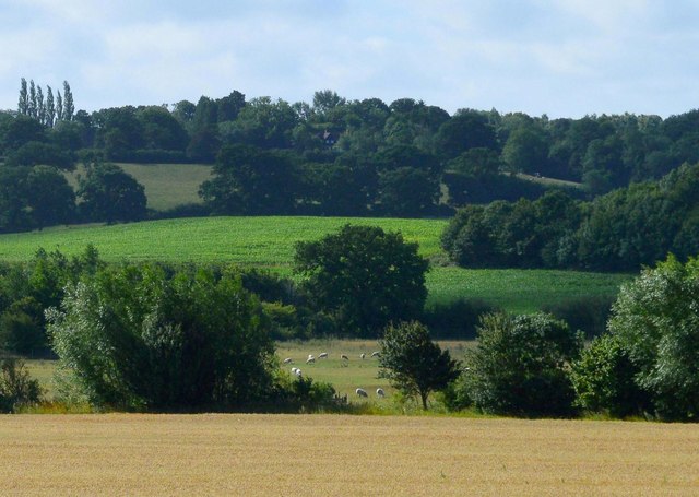
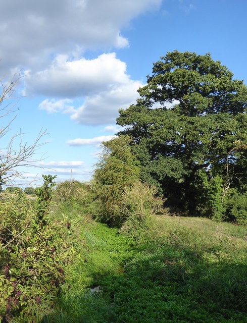
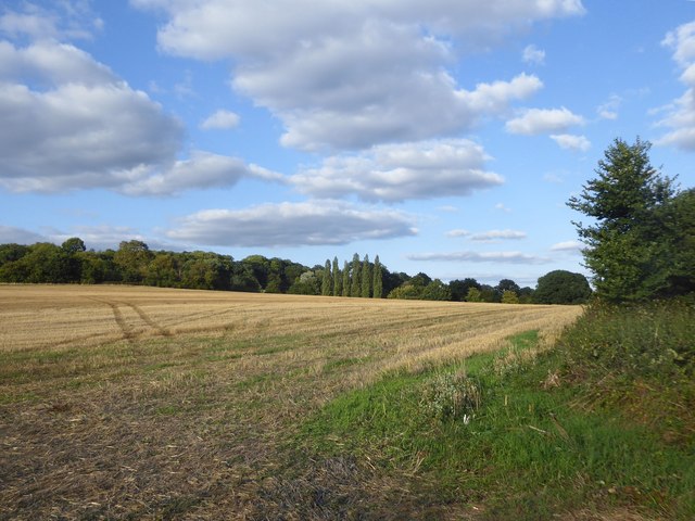
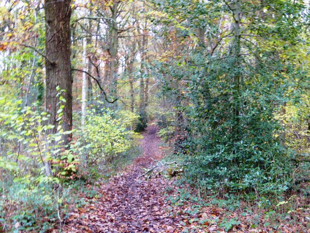
Scotland Plantation, Berkshire is a sprawling woodland located in the county of Berkshire, England. Covering an extensive area of lush greenery, this picturesque plantation is renowned for its natural beauty and rich biodiversity. The plantation is named after its resemblance to the enchanting Scottish forests, with tall, majestic trees dominating the landscape.

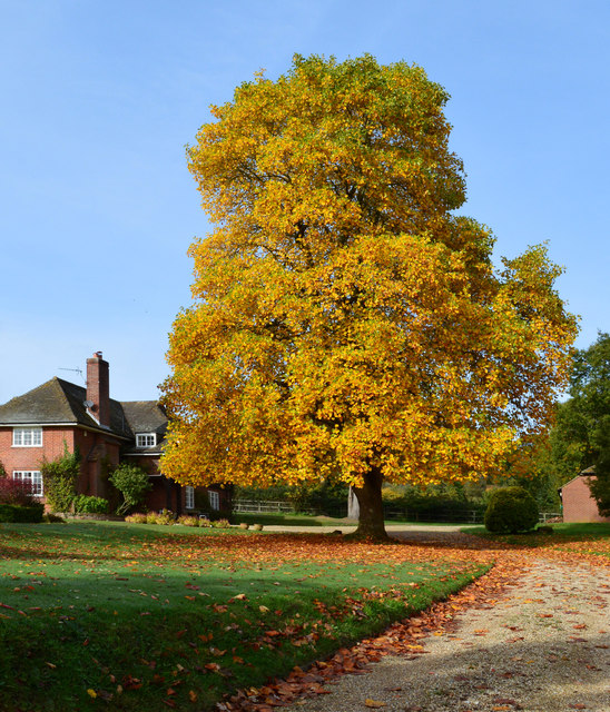
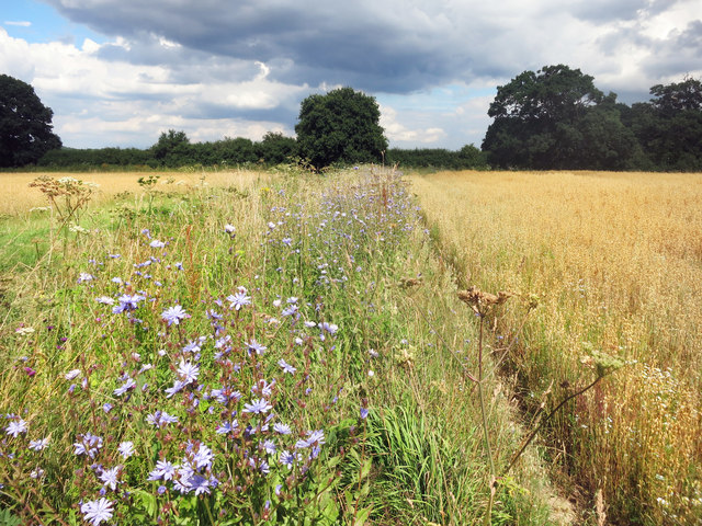
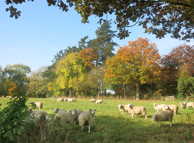
The woodland is primarily composed of oak, beech, and pine trees that create a dense canopy, providing a haven for a wide range of wildlife. The diverse flora found here includes bluebells, primroses, and ferns, adding vibrant colors to the woodland floor during springtime. Various species of birds, such as woodpeckers, robins, and owls, can be spotted among the treetops, while rabbits, foxes, and deer roam freely on the forest floor.

Scotland Plantation offers visitors an array of recreational activities, making it a popular destination for nature enthusiasts and outdoor adventurers alike. Numerous walking trails crisscross the plantation, allowing visitors to explore the woodland at their leisure. These trails offer stunning views of the surrounding countryside and provide an opportunity to witness the flora and fauna up close.

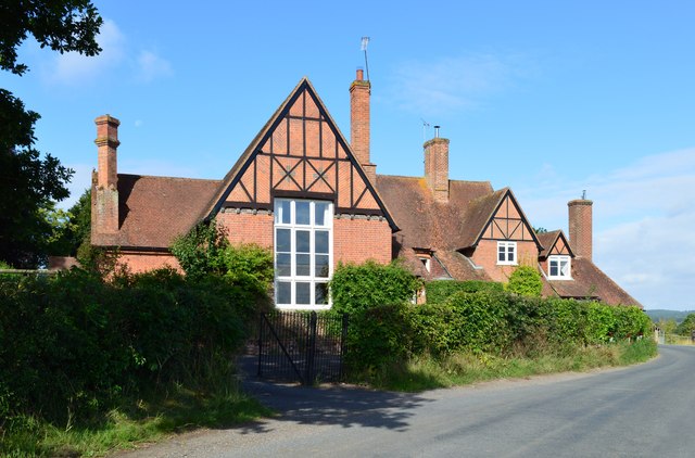
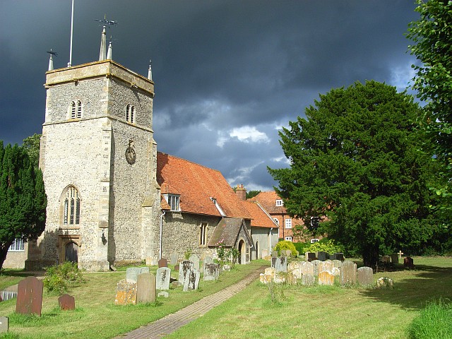
In addition to its natural beauty, Scotland Plantation holds historical significance. It is believed that the plantation dates back several centuries and was once part of a larger estate. The woodland has witnessed the passage of time and bears traces of its past, with remnants of old stone walls and ruins scattered throughout.

Overall, Scotland Plantation, Berkshire is a captivating destination that offers a tranquil escape from the bustling city life. Its stunning landscapes, diverse wildlife, and historical charm make it a must-visit location for those seeking a connection with nature and a glimpse into the region's rich history.

If you have any feedback on the listing, please let us know in the comments section below.

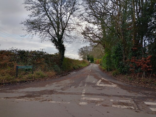
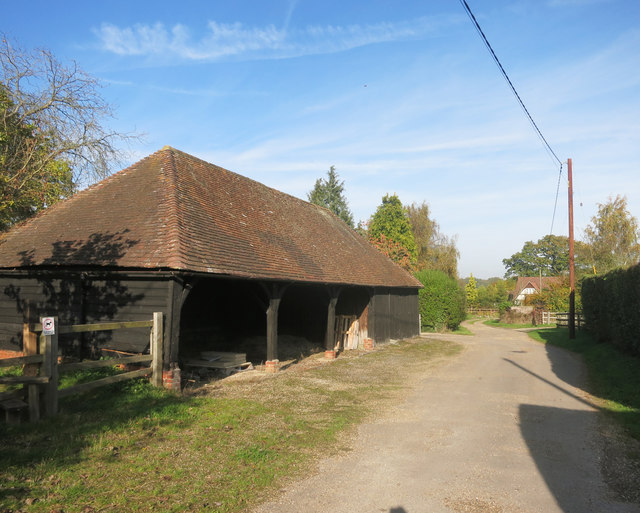
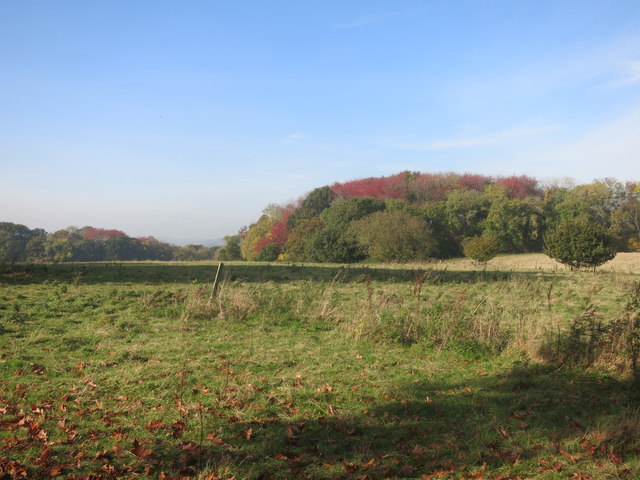
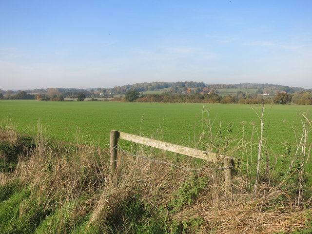
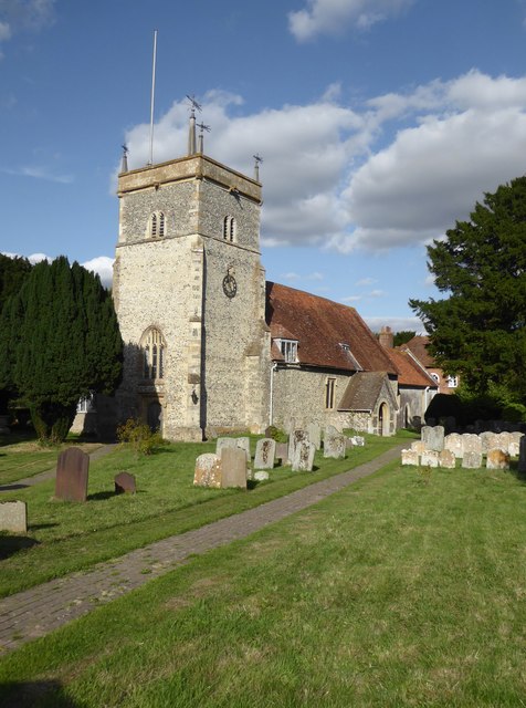
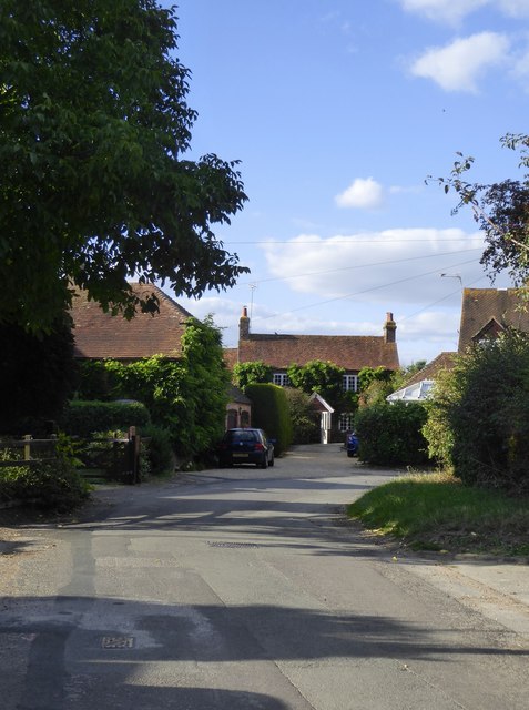
Scotland Plantation Images

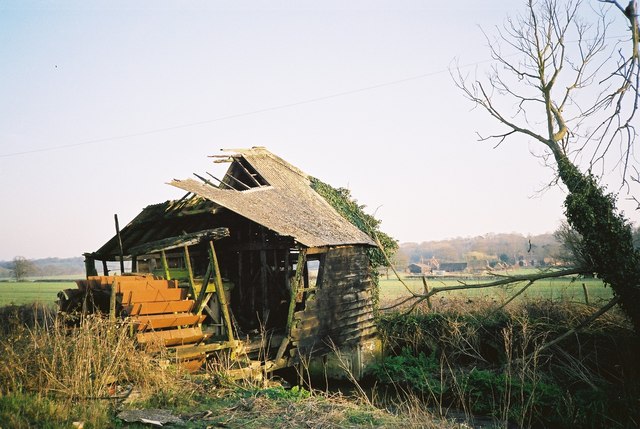
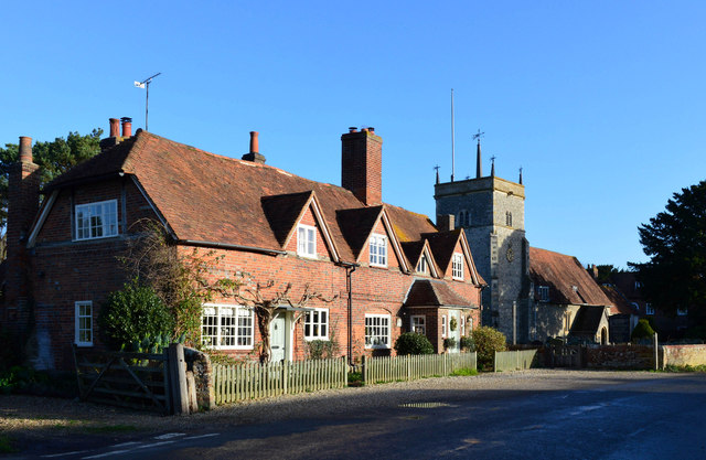
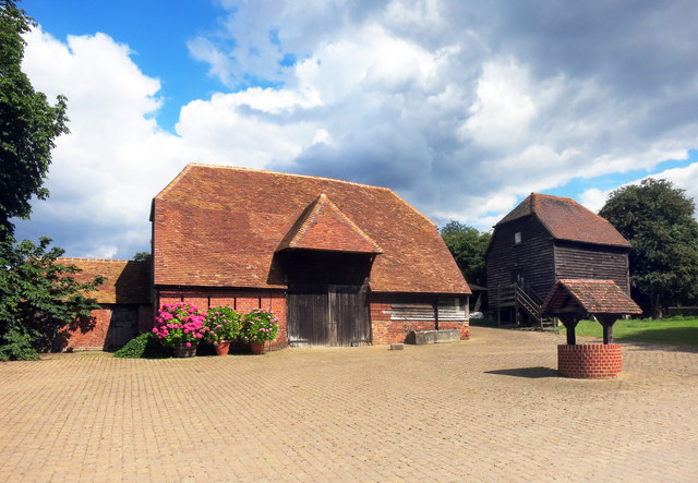
Images are sourced within 2km of 51.423116/-1.1952885 or Grid Reference SU5669. Thanks to Geograph Open Source API. All images are credited.

Windmill Lane Off Carbinswood Lane, leading to School Hill.
Windmill Lane
Off Carbinswood Lane, leading to School Hill.
Pastoral scene, Stanford Dingley, Berkshire
Former school, Bucklebury, Berkshire School, now house. C17 with C19 refacing and additions to south and east. Timber framed with angle braces, brick nogging and later brick facing to rear; tiled roof with ridge stack off-centre to left above door. 3 framed bays. 2 storeys. 2 first floor 2-light C19 segmental headed casements to right with 3-light casement and small casement to left, 2 ground floor 3-light C20 casements to right with boarded door to left beneath stack. Block to left: timber framed with brick facing, hipped tile roof with stack to rear. One storey and attic. 2-light segmental headed casement to right and boarded door to left.

(Source:Historic England)
Former school, Bucklebury, Berkshire
School, now house. C17 with C19 refacing and additions to south and east. Timber framed with angle braces, brick nogging and later brick facing to rear; tiled roof with ridge stack off-centre to left above door. 3 framed bays. 2 storeys. 2 first floor 2-light C19 segmental headed casements to right with 3-light casement and small casement to left, 2 ground floor 3-light C20 casements to right with boarded door to left beneath stack. Block to left: timber framed with brick facing, hipped tile roof with stack to rear. One storey and attic. 2-light segmental headed casement to right and boarded door to left. (Source:Historic England)
Tree in autumn glory, Stanford Dingley, Berkshire The photo was taken from outside the property. The foreground has been cut away to give prominence to the magnificent tree.
Tree in autumn glory, Stanford Dingley, Berkshire
The photo was taken from outside the property. The foreground has been cut away to give prominence to the magnificent tree.
Remains of a Mill in 1993 I thought I had lost this one. This is the same mill as in my 2013 picture <a href="https://www.geograph.org.uk/photo/3462437">SU5571 : Remains of a Mill</a> only taken 20 years earlier.
Enough of the structure still remains to get an idea of what the working mill must have been like.
Remains of a Mill in 1993
I thought I had lost this one. This is the same mill as in my 2013 picture SU5571 : Remains of a Mill only taken 20 years earlier. Enough of the structure still remains to get an idea of what the working mill must have been like.
Glebe House, Bucklebury, Berkshire 18 with C20 porch. Red brick with plat band to right. Half hipped old tile roof, 4 gabled eaves dormers to right with 2-light casements, end stack to right, ridge stack above door off-centre to right, and 3 stacks to rear. Altered lobby entrance type. 1 1/2 storeys. 4 ground floor 3-light casements, 2 to right with segmental relieving arches. 4-panelled door with porch between first and second windows from left, porch with hipped tile roof, panelled door and flanking windows between third and fourth windows from left.

(Source:Historic England)
Glebe House, Bucklebury, Berkshire
18 with C20 porch. Red brick with plat band to right. Half hipped old tile roof, 4 gabled eaves dormers to right with 2-light casements, end stack to right, ridge stack above door off-centre to right, and 3 stacks to rear. Altered lobby entrance type. 1 1/2 storeys. 4 ground floor 3-light casements, 2 to right with segmental relieving arches. 4-panelled door with porch between first and second windows from left, porch with hipped tile roof, panelled door and flanking windows between third and fourth windows from left. (Source:Historic England)
Barn, Well and Granary at Hillfoot Farm Original farm buildings by a new forecourt.
Barn, Well and Granary at Hillfoot Farm
Original farm buildings by a new forecourt.
Wild Flowers by the Footpath
Barn at Nine Elms Nine Elms Farm, or just Nine Elms depending which map you look at, is at the end of this drive. A short footpath through surrounding fields begins just beside the barn here.
Barn at Nine Elms
Nine Elms Farm, or just Nine Elms depending which map you look at, is at the end of this drive. A short footpath through surrounding fields begins just beside the barn here.
Sheep by the path Pasture near Clay Hill.
Sheep by the path
Pasture near Clay Hill.
Red Leaves in King's Copse A typical view for the area, mixed fields and woods.
Red Leaves in King's Copse
A typical view for the area, mixed fields and woods.
The Pang Valley near Bucklebury The River Pang flows through farmland in a shallow valley between Bucklebury and Stanford Dingley.
The Pang Valley near Bucklebury
The River Pang flows through farmland in a shallow valley between Bucklebury and Stanford Dingley.
Bucklebury church: 17th century stained glass (sundial?) A relic of 'sad, distracted times' - the maker has signed his work at the top of the panel - 'S:S: me fecit 1649'.  Around the border - at the end of radiating lines as if on a sundial - appear the Roman numerals I to XI (with a cross where XII might be expected).  Some are partly obscured by the lead mounting, so that while VI is fully legible (top left), VII and VIII (starting top right) both appear to replicate VI.

Beneath the escutcheon (shield) an inscription reads: 'Th:S & St' - the meaning of which I can't guess at.

Two areas of blue pigment have been lost from above the chevron on the left.   The golden yellow pigment could well be gamboge.

Afterthought (12.9.2018): on reflection, this must have been intended as a sundial (of sorts) - though it would seem to need a 'pointer'.  The numbering of the hours suggests that it was designed for a south-facing window, not its current position in the north aisle.
Bucklebury church: 17th century stained glass (sundial?)
A relic of 'sad, distracted times' - the maker has signed his work at the top of the panel - 'S:S: me fecit 1649'. Around the border - at the end of radiating lines as if on a sundial - appear the Roman numerals I to XI (with a cross where XII might be expected). Some are partly obscured by the lead mounting, so that while VI is fully legible (top left), VII and VIII (starting top right) both appear to replicate VI. Beneath the escutcheon (shield) an inscription reads: 'Th:S & St' - the meaning of which I can't guess at. Two areas of blue pigment have been lost from above the chevron on the left. The golden yellow pigment could well be gamboge. Afterthought (12.9.2018): on reflection, this must have been intended as a sundial (of sorts) - though it would seem to need a 'pointer'. The numbering of the hours suggests that it was designed for a south-facing window, not its current position in the north aisle.
Bucklebury church: man-and-wheel carving To be found quite high up on a buttress of the church tower - to the right of the clock and at a slightly lower level. 

Am I right in thinking that there's a weathered inscription above the figure?  In any case, what is he doing to the wheel, and what is the implement in his hands?  Is there any significance in the fact that the wheel has twelve spokes, and the orientation is much like a clock face?

In terms of style, I'm reminded of these figures at Saffron Walden: <a title="https://www.geograph.org.uk/photo/3546187" href="https://www.geograph.org.uk/photo/3546187">Link</a> - which may give a clue to date.
Bucklebury church: man-and-wheel carving
To be found quite high up on a buttress of the church tower - to the right of the clock and at a slightly lower level. Am I right in thinking that there's a weathered inscription above the figure? In any case, what is he doing to the wheel, and what is the implement in his hands? Is there any significance in the fact that the wheel has twelve spokes, and the orientation is much like a clock face? In terms of style, I'm reminded of these figures at Saffron Walden: Link - which may give a clue to date.
Bucklebury: church of St Mary the Virgin
Street scene at Bucklebury The road turns right, then left - leading to a bridge over the little River Pang.
Street scene at Bucklebury
The road turns right, then left - leading to a bridge over the little River Pang.
Streambed of the River Pang at Bucklebury The streambed seems all but dry, the flow little more than a trickle.  The reason, no doubt, is that a relief channel was dug after flooding earlier in the century: <a title="https://www.geograph.org.uk/photo/3469627" href="https://www.geograph.org.uk/photo/3469627">Link</a>  <a title="https://www.geograph.org.uk/photo/503402" href="https://www.geograph.org.uk/photo/503402">Link</a>
Streambed of the River Pang at Bucklebury
The streambed seems all but dry, the flow little more than a trickle. The reason, no doubt, is that a relief channel was dug after flooding earlier in the century: Link Link
Farmland north of the Pang valley On the first of the rising ground as you get away from the Pang floodplain.  Photo taken in the first week of September from a field-entrance west of Rushdens Farm.
Farmland north of the Pang valley
On the first of the rising ground as you get away from the Pang floodplain. Photo taken in the first week of September from a field-entrance west of Rushdens Farm.
Show me another place!

Scotland Plantation is located at Grid Ref: SU5669 (Lat: 51.423116, Lng: -1.1952885)

Unitary Authority: West Berkshire

Police Authority: Thames Valley

What 3 Words

///courtyard.nightcap.listed. Near Cold Ash, Berkshire

Related Wikis

Related Videos

Berkshire 2.6 mile circular walk: Bucklebury

Bucklebury: 2.6 mile circular walk Guided Walk: ...

221 - The Other Side Of Narrowboat Life | Picking Fruit On Our Doorstep, Exploring Bucklebury Estate

Today we do the other things in narrowboat life, such as exploring Bucklebury Estate, which includes woods, moorland and ...

Bucklebery Farm | Reading, England UK

bucklebery #farmanimals #england #reading Bucklebery Farm | Reading, England Bucklebury Farm Park is an animal park ...

Nearby Amenities

Located within 500m of 51.423116,-1.1952885
Lodge Copse
Natural: wood
Lat/Long: 51.4235987/-1.1978209
The data included in this document is from www.openstreetmap.org. The data is made available under ODbL.

Have you been to Scotland Plantation?

Leave your review of Scotland Plantation below (or comments, questions and feedback).