Barn Copse
Wood, Forest in Oxfordshire Cherwell
England
Barn Copse

Barn Copse is a picturesque woodland located in Oxfordshire, England. Covering an area of approximately 50 acres, it is a popular destination for nature lovers and outdoor enthusiasts. The copse is situated near the village of Barnard Gate, about 10 miles west of the city of Oxford.
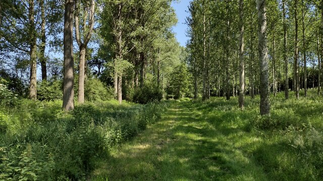
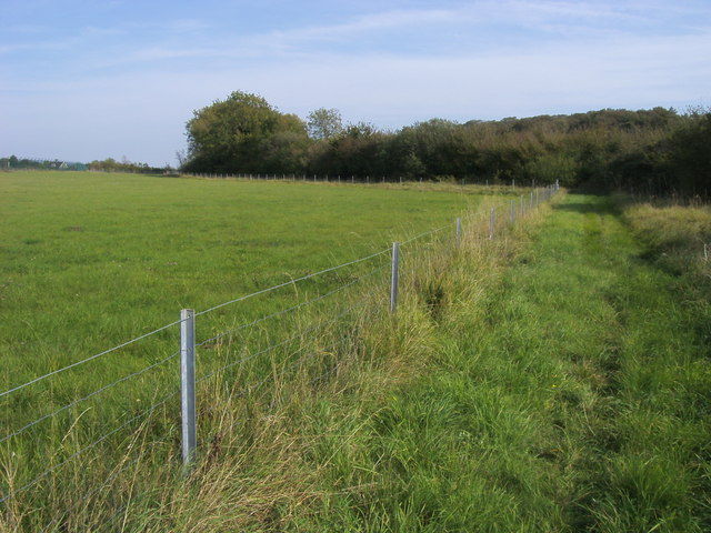
The woodland is predominantly made up of mature deciduous trees, such as oak, beech, and ash, which provide a dense canopy and create a tranquil and serene atmosphere. The forest floor is covered in a thick layer of leaf litter, adding to the natural beauty of the area.
Barn Copse is home to a diverse range of flora and fauna. Visitors can expect to see a variety of wildflowers, including bluebells and primroses, during the springtime. The woodland also provides a habitat for numerous bird species, such as woodpeckers and owls, as well as small mammals like squirrels and rabbits.
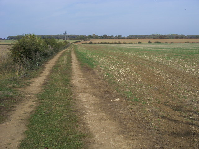
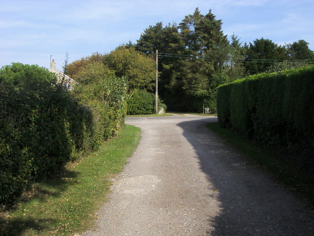
The copse features several well-maintained footpaths that meander through the woodland, allowing visitors to explore its beauty at their own pace. These paths offer a chance to immerse oneself in nature and enjoy peaceful walks or hikes. Additionally, there are designated picnic areas where visitors can relax and enjoy a meal surrounded by the natural splendor of Barn Copse.
Overall, Barn Copse in Oxfordshire is a delightful woodland that offers a tranquil escape from the hustle and bustle of everyday life. Its diverse flora and fauna, well-maintained footpaths, and beautiful scenery make it an ideal location for nature enthusiasts and those seeking a peaceful retreat.
If you have any feedback on the listing, please let us know in the comments section below.
Barn Copse Images
Images are sourced within 2km of 51.974804/-1.1752549 or Grid Reference SP5631. Thanks to Geograph Open Source API. All images are credited.


Barn Copse is located at Grid Ref: SP5631 (Lat: 51.974804, Lng: -1.1752549)
Administrative County: Oxfordshire
District: Cherwell
Police Authority: Thames Valley
What 3 Words
///variously.crate.menswear. Near Brackley, Northamptonshire
Nearby Locations
Related Wikis

Hardwick with Tusmore
Hardwick with Tusmore is a civil parish in Oxfordshire, England. It was formed in 1932 by merger of the parishes of Hardwick (grid reference SP5729) and...
Tusmore, Oxfordshire
Tusmore is a settlement about 5+1⁄2 miles (9 km) north of Bicester in Oxfordshire. It is the location of the Tusmore country house and estate. == Manor... ==

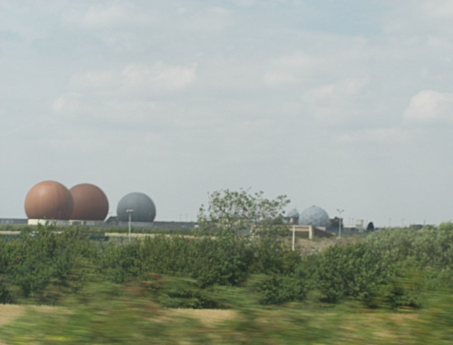
RAF Croughton
Royal Air Force Croughton or more simply RAF Croughton is a Royal Air Force station which is currently a United States Air Force communications station...

Hardwick, Cherwell
Hardwick is a village in the civil parish of Hardwick with Tusmore about 4.5 miles (7 km) north of Bicester in Oxfordshire. == Manor == The village's toponym...
Juniper Hill
Juniper Hill is a hamlet in the civil parish of Cottisford in Oxfordshire, England, 2 miles (3.2 km) south of Brackley in neighbouring Northamptonshire...

Cottisford
Cottisford is a village and civil parish in Oxfordshire, about 3.5 miles (5.6 km) south of Brackley in neighbouring Northamptonshire. The parish's northern...

Stoke Lyne
Stoke Lyne is a village and civil parish about 4 miles (6.4 km) north of Bicester, Oxfordshire in southern England. == Etymology == The name Stoke Lyne...
Death of Harry Dunn
Harry Dunn was a 19-year-old British man who died following a road traffic collision on 27 August 2019. He was riding his motorcycle near Croughton, Northamptonshire...
Nearby Amenities
Located within 500m of 51.974804,-1.1752549Have you been to Barn Copse?
Leave your review of Barn Copse below (or comments, questions and feedback).