Cocked Hat Plantation
Wood, Forest in Nottinghamshire Gedling
England
Cocked Hat Plantation
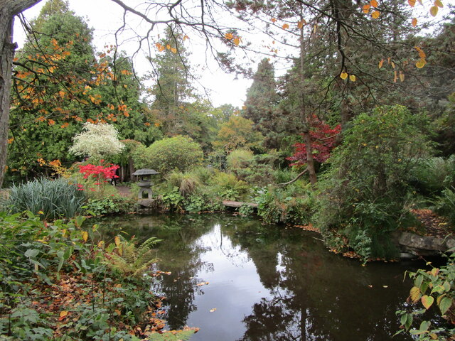
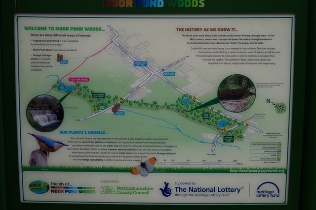
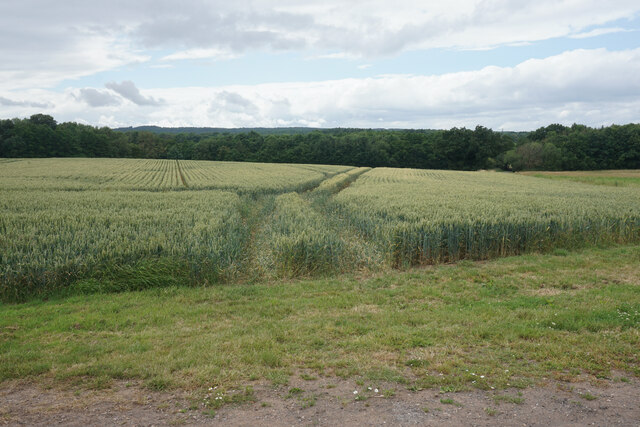
Cocked Hat Plantation, located in Nottinghamshire, England, is a picturesque woodland nestled in the heart of Sherwood Forest. With an area spanning approximately 100 acres, it offers visitors a tranquil retreat from the bustling city life. The plantation is named after the unique shape of the trees at its entrance, which resemble a cocked hat.
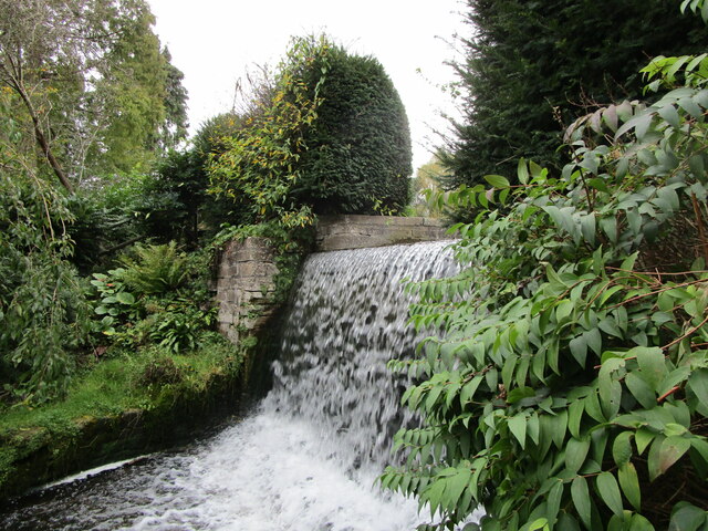
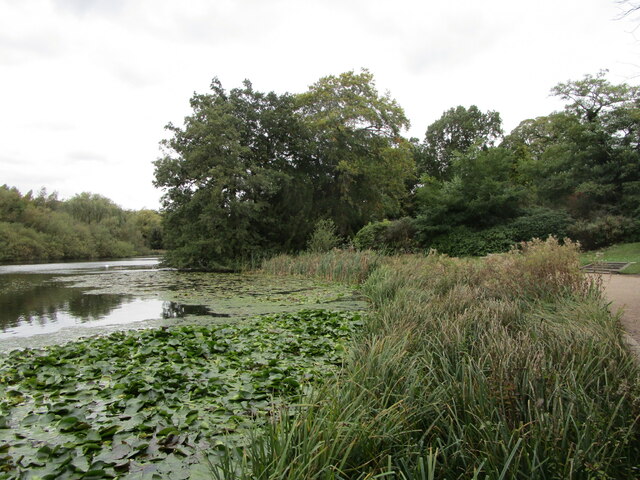
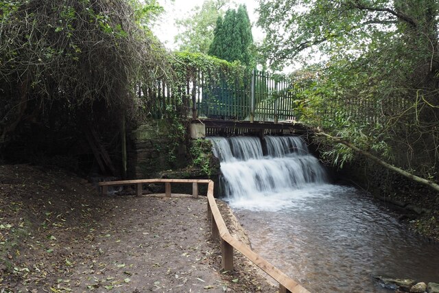
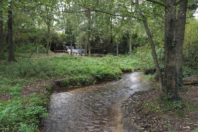
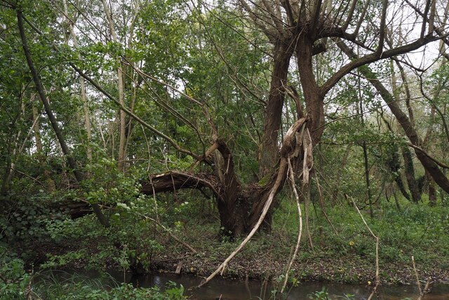
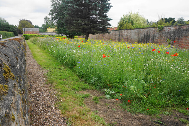
The woodland is primarily composed of a mix of deciduous and evergreen trees, including oak, beech, birch, and pine. This diverse range of flora creates a vibrant and colorful landscape throughout the year, attracting nature enthusiasts and photographers alike. In the spring, the forest floor is adorned with a carpet of bluebells, creating a breathtaking sight and a haven for wildlife.
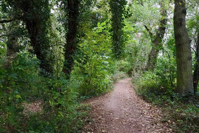
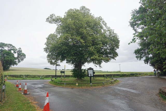
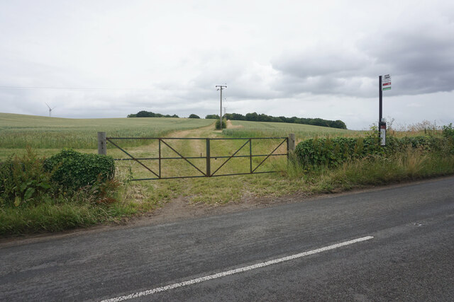
Cocked Hat Plantation is not only a haven for nature lovers, but also a popular destination for recreational activities. The well-maintained trails winding through the woodland offer opportunities for walking, jogging, and cycling. The plantation also boasts several picnic areas, allowing visitors to relax and enjoy the peaceful surroundings.
The woodland is home to a variety of wildlife, including deer, foxes, rabbits, and a rich bird population. Birdwatchers can spot species such as woodpeckers, owls, and various songbirds. The plantation is committed to conservation efforts, ensuring the preservation of these habitats.
Cocked Hat Plantation, with its natural beauty, serene atmosphere, and recreational amenities, is a cherished gem in Nottinghamshire's crown. Whether it's a leisurely stroll through the woods or a picnic with loved ones, this woodland sanctuary offers a delightful escape into nature for visitors of all ages.
If you have any feedback on the listing, please let us know in the comments section below.
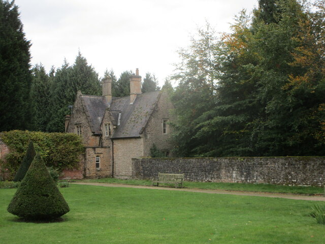
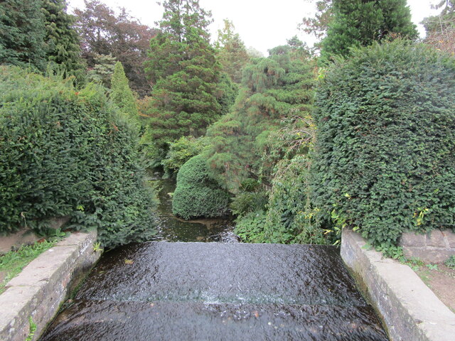
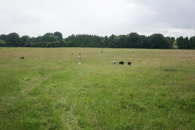
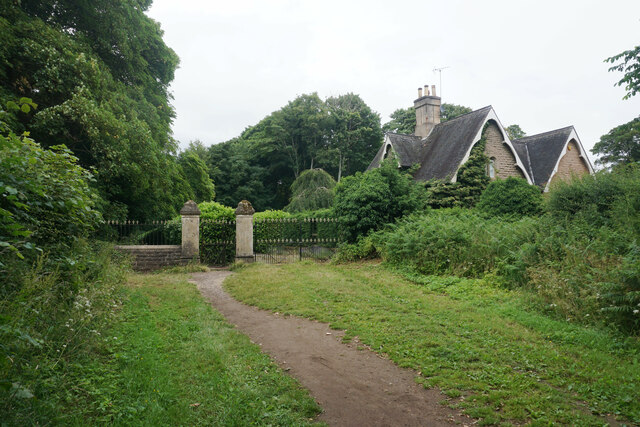
Cocked Hat Plantation Images
Images are sourced within 2km of 53.065133/-1.1683154 or Grid Reference SK5552. Thanks to Geograph Open Source API. All images are credited.


Cocked Hat Plantation is located at Grid Ref: SK5552 (Lat: 53.065133, Lng: -1.1683154)
Administrative County: Nottinghamshire
District: Gedling
Police Authority: Nottinghamshire
What 3 Words
///searches.lavender.crumbles. Near Ravenshead, Nottinghamshire
Nearby Locations
Related Wikis

Papplewick Hall
Papplewick Hall is a Grade I listed English country house in Papplewick, Nottinghamshire. == History == It was completed around 1787 for the Hon. Frederick...

Papplewick
Papplewick is a village and civil parish in Nottinghamshire, England, 7.5 miles (12 km) north of Nottingham and 6 miles (10 km) south of Mansfield. It...
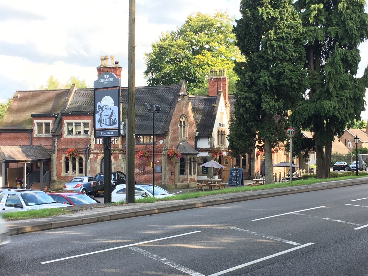
The Hutt
The Hutt is a public house located in the village of Ravenshead in Nottinghamshire, opposite Newstead Abbey. The pub was built on the site of The Royal...
Ravenshead
Ravenshead is a large village and civil parish in the Gedling district of Nottinghamshire, England. It borders Papplewick, Newstead Abbey and Blidworth...

Newstead Abbey
Newstead Abbey, in Nottinghamshire, England, was formerly an Augustinian priory. Converted to a domestic home following the Dissolution of the Monasteries...
Hidden Valleys
Hidden Valleys is a name, coined in 2004, used to describe an area of interesting historical and scenic value between the city of Nottingham and the town...

Papplewick Pumping Station
Papplewick Pumping Station, situated in open agricultural land approximately 3 miles (4.8 km) by road from the Nottinghamshire village of Papplewick, was...

Sherwood (UK Parliament constituency)
Sherwood is a constituency represented in the House of Commons of the UK Parliament since 2010 by Mark Spencer, a Conservative. The constituency takes...
Nearby Amenities
Located within 500m of 53.065133,-1.1683154Have you been to Cocked Hat Plantation?
Leave your review of Cocked Hat Plantation below (or comments, questions and feedback).