The Holt

Wood, Forest in Hampshire Basingstoke and Deane

England

The Holt

Larkwhistle farmland
Larkwhistle farmland Credit: Oscar

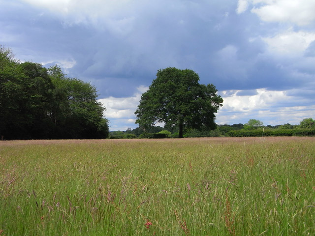
The Holt is a charming woodland located in Hampshire, England. Nestled within the heart of the county, it covers an area of approximately 300 acres and is renowned for its picturesque beauty and diverse flora and fauna. The Holt is a mixture of ancient woodland and newer plantations, creating a harmonious blend of old and new growth.

The woodland is predominantly composed of broadleaf trees such as oak, beech, and ash, providing a rich habitat for a wide range of wildlife. It is home to numerous species of birds, including woodpeckers, owls, and warblers, as well as mammals like deer, badgers, and foxes. The Holt is also home to a variety of insects, butterflies, and wildflowers, which add to the biodiversity of the area.

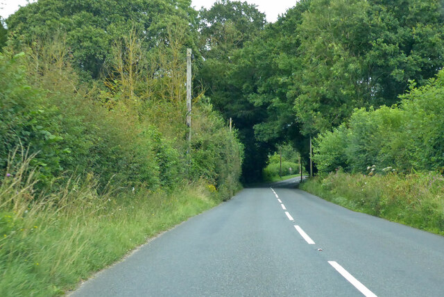
Visitors to The Holt can explore its network of well-maintained trails, which wind through the woodland, offering a peaceful and immersive experience. The paths are suitable for walkers of all ages and abilities, and there are designated areas for picnicking and rest stops along the way. The Holt also features a visitor center where visitors can learn more about the woodland's history, flora, and fauna through informative displays and interactive exhibits.

In addition to its natural beauty, The Holt offers a range of recreational activities. It is a popular spot for birdwatching, photography, and nature walks. The woodland also hosts educational programs and workshops for schools and community groups, aiming to promote environmental awareness and conservation.

Overall, The Holt in Hampshire is a haven for nature enthusiasts, offering a tranquil escape from the hustle and bustle of everyday life. With its stunning scenery, diverse wildlife, and educational opportunities, it is a cherished gem within the county.

If you have any feedback on the listing, please let us know in the comments section below.
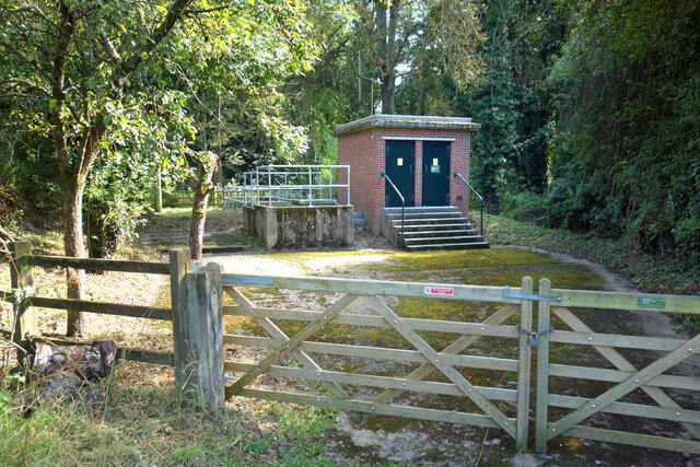
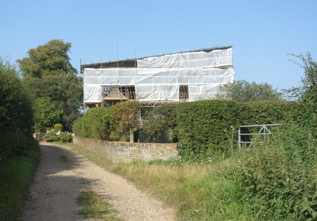
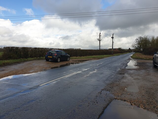
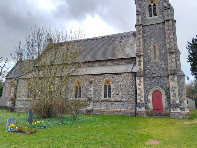
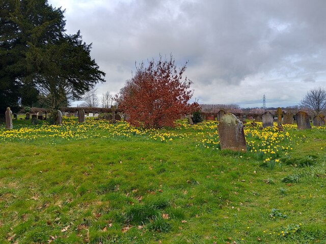
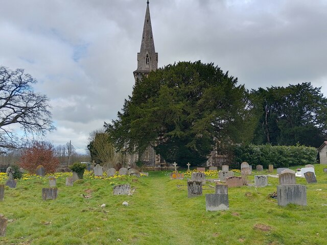
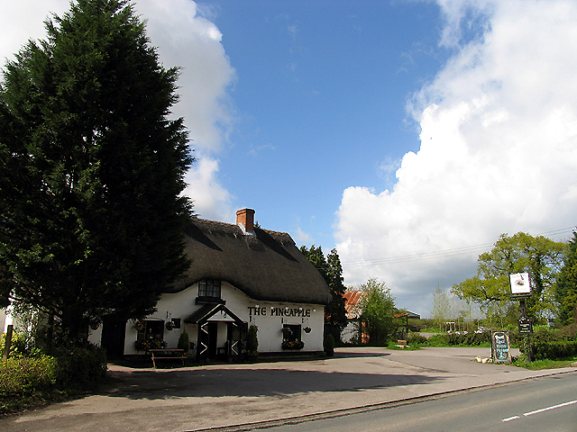
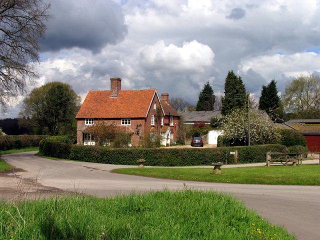
The Holt Images

Images are sourced within 2km of 51.351715/-1.1996843 or Grid Reference SU5561. Thanks to Geograph Open Source API. All images are credited.

Larkwhistle farmland
Pasture, Wolverton A field of long grass with a northeastern corner of Sandford Woods to the left.
Pasture, Wolverton
A field of long grass with a northeastern corner of Sandford Woods to the left.
B3051 Little Knowl Hill From Kingsclere towards Aldermaston.
B3051 Little Knowl Hill
From Kingsclere towards Aldermaston.
B3051, Ashford Hill From Kingsclere towards Aldermaston. The sign on the left is intended to warn of a skid hazard, but not doing a very good job of it.
B3051, Ashford Hill
From Kingsclere towards Aldermaston. The sign on the left is intended to warn of a skid hazard, but not doing a very good job of it.
B3051, Ashford Hill From Kingsclere towards Aldermaston.
B3051, Ashford Hill
From Kingsclere towards Aldermaston.
B3051 towards Aldermaston
Hyde End Pumping Station A pumping station belonging to the Environment Agency. It is for river flow augmentation when water levels get too low in the River Enborne. 
Water can be pumped into the river from a borehole.
Hyde End Pumping Station
A pumping station belonging to the Environment Agency. It is for river flow augmentation when water levels get too low in the River Enborne. Water can be pumped into the river from a borehole.
Hyde End Farm Under Wraps Impossible to see what's going on here, but it looks serious.
Hyde End Farm Under Wraps
Impossible to see what's going on here, but it looks serious.
B3051 - Brimpton Common
Violet Lane Looking along Violet Lane towards Wolverton Road.
Violet Lane
Looking along Violet Lane towards Wolverton Road.
Muddy lay-bys on Back Lane Some muddy lay-bys with big puddles on Back Lane. Surprisingly, both were in use!
Muddy lay-bys on Back Lane
Some muddy lay-bys with big puddles on Back Lane. Surprisingly, both were in use!
Back Lane junction to Brimpton Lane The junction of Back Lane on Brimpton Lane, from the verge.
Back Lane junction to Brimpton Lane
The junction of Back Lane on Brimpton Lane, from the verge.
Brimpton Lane from Back Lane Looking over the junction of Back Lane to Brimpton Lane. A signpost directs to Woolhampton, Kingsmere, Brimpton and AWE.
Brimpton Lane from Back Lane
Looking over the junction of Back Lane to Brimpton Lane. A signpost directs to Woolhampton, Kingsmere, Brimpton and AWE.
St Paul's Church A church in Ashford Hill, off Ashford Hill Road. The path across the grass here is not very often used, with a car park and the main entrance round the rear of the church.

The church is Victorian Gothic, built in 1845. It is a grade II listed building, list entry number 1166766 <span class="nowrap"><a title="https://historicengland.org.uk/listing/the-list/list-entry/1166766?section=official-list-entry" rel="nofollow ugc noopener" href="https://historicengland.org.uk/listing/the-list/list-entry/1166766?section=official-list-entry">Link</a><img style="margin-left:2px;" alt="External link" title="External link - shift click to open in new window" src="https://s1.geograph.org.uk/img/external.png" width="10" height="10"/></span>
St Paul's Church
A church in Ashford Hill, off Ashford Hill Road. The path across the grass here is not very often used, with a car park and the main entrance round the rear of the church. The church is Victorian Gothic, built in 1845. It is a grade II listed building, list entry number 1166766 LinkExternal link
St Paul's Church graveyard The graveyard is covered in daffodils at this time of year. A path runs through the grass.
St Paul's Church graveyard
The graveyard is covered in daffodils at this time of year. A path runs through the grass.
St Paul's Church graveyard An area of the graveyard near to the church.
St Paul's Church graveyard
An area of the graveyard near to the church.
St Paul's Church Looking at the main tower on the east face of the church from the path through the graveyard. The church is rather hidden by a large tree from this angle.

The church is Victorian Gothic, built in 1845. It is a grade II listed building, list entry number 1166766 <span class="nowrap"><a title="https://historicengland.org.uk/listing/the-list/list-entry/1166766?section=official-list-entry" rel="nofollow ugc noopener" href="https://historicengland.org.uk/listing/the-list/list-entry/1166766?section=official-list-entry">Link</a><img style="margin-left:2px;" alt="External link" title="External link - shift click to open in new window" src="https://s1.geograph.org.uk/img/external.png" width="10" height="10"/></span>
St Paul's Church
Looking at the main tower on the east face of the church from the path through the graveyard. The church is rather hidden by a large tree from this angle. The church is Victorian Gothic, built in 1845. It is a grade II listed building, list entry number 1166766 LinkExternal link
St Paul's Church and war memorial Looking at St Paul's Church past the war memorial commemorating those lost in WWI and WWII. The graveyard can be seen behind the memorial.

The church is Victorian Gothic, built in 1845. It is a grade II listed building, list entry number 1166766 <span class="nowrap"><a title="https://historicengland.org.uk/listing/the-list/list-entry/1166766?section=official-list-entry" rel="nofollow ugc noopener" href="https://historicengland.org.uk/listing/the-list/list-entry/1166766?section=official-list-entry">Link</a><img style="margin-left:2px;" alt="External link" title="External link - shift click to open in new window" src="https://s1.geograph.org.uk/img/external.png" width="10" height="10"/></span>
St Paul's Church and war memorial
Looking at St Paul's Church past the war memorial commemorating those lost in WWI and WWII. The graveyard can be seen behind the memorial. The church is Victorian Gothic, built in 1845. It is a grade II listed building, list entry number 1166766 LinkExternal link
Show me another place!

The Holt is located at Grid Ref: SU5561 (Lat: 51.351715, Lng: -1.1996843)

Administrative County: Hampshire

District: Basingstoke and Deane

Police Authority: Hampshire

What 3 Words

///humid.frown.never. Near Kingsclere, Hampshire

Related Wikis

Ashford Hill

Ashford Hill is a village in Basingstoke and Deane, Hampshire, England. == Governance == The village of Ashford Hill is part of the civil parish of Ashford...

Ashford Hill Woods and Meadows

Ashford Hill Woods and Meadows is a 141.5-hectare (350-acre) biological Site of Special Scientific Interest near Ashford Hill in Hampshire. An area of...

Ashford Hill NNR

Ashford Hill is a British national nature reserve next to the village of Ashford Hill in Hampshire. Part of the reserve is a designated a Site of Special...

Brimpton Common

Brimpton Common is a hamlet in Berkshire, England. It is part of Brimpton Parish, and part of the Benefice of Aldermaston and Woolhampton in the Diocese...

Axmansford

Axmansford is a village in Hampshire, England. It is in the civil parish of Baughurst. == External links == Media related to Axmansford at Wikimedia Commons

Inhurst

Inhurst is a hamlet in Hampshire, England. It is in the civil parish of Baughurst. == History == Inhurst House was established as a school in the 1960s...

The Hurst School

The Hurst School, previously The Hurst Community College, is a state secondary school in the village of Baughurst, within the county of Hampshire in England...

Heath End, Hampshire

Heath End is a small village between Tadley and Baughurst in Hampshire, England. == Governance == The village is part of the civil parish of Tadley and...

Nearby Amenities

Located within 500m of 51.351715,-1.1996843
Turning Circle
Lat/Long: 51.3507835/-1.2033117
Barrier: stile
Lat/Long: 51.3550028/-1.1957326
Bus Stop
Ashford Hill Po
Naptan AtcoCode: 1900HA010566
Naptan Bearing: SE
Naptan CommonName: Ashford Hill Po
Naptan Crossing: B3051
Naptan NaptanCode: hamdpdpa
Naptan Street: Ashford Hill Road
Naptan Verified: no
Source: naptan_import
Lat/Long: 51.3538463/-1.2044849
Bus Stop
Ashford Hill Po
Naptan AtcoCode: 1900HA010567
Naptan Bearing: NW
Naptan CommonName: Ashford Hill Po
Naptan Crossing: B3051
Naptan NaptanCode: hamdpdmd
Naptan Street: Ashford Hill Road
Naptan Verified: no
Source: naptan_import
Lat/Long: 51.3539491/-1.2050576
Cary Lodge Farm
Landuse: farmyard
Note Retag: CS #48756035
Source: OS_OpenData_StreetView
Lat/Long: 51.3491503/-1.205551
Bench
Lat/Long: 51.3539014/-1.2043437
Give Way
Source: Hampshire-Aerial-FCIR
Lat/Long: 51.3547862/-1.2028933
Crossing
Crossing: unmarked
Kerb: lowered
Lat/Long: 51.3539196/-1.2049351
Crossing
Crossing: unmarked
Kerb: lowered
Source: Hampshire-Aerial-FCIR
Lat/Long: 51.3548321/-1.2030544
The data included in this document is from www.openstreetmap.org. The data is made available under ODbL.

Have you been to The Holt?

Leave your review of The Holt below (or comments, questions and feedback).