Duncan Plantation
Wood, Forest in Nottinghamshire Gedling
England
Duncan Plantation
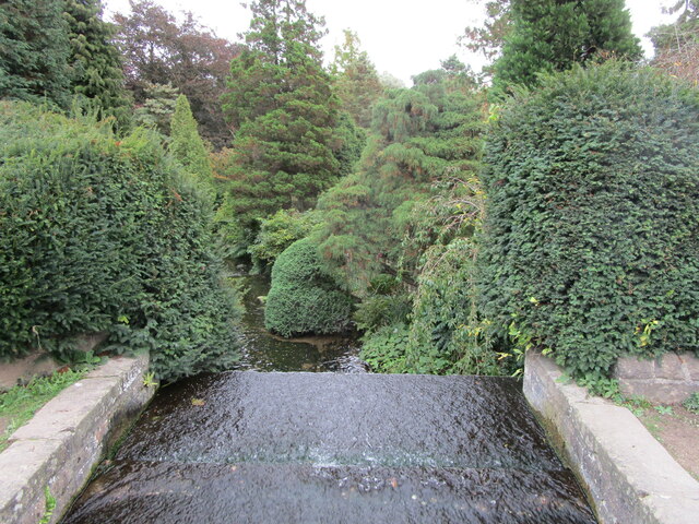
Duncan Plantation is a scenic woodland located in the county of Nottinghamshire, England. Situated on the outskirts of the town of Wood, the plantation covers a vast area of lush forest and is known for its natural beauty, making it a popular destination for outdoor enthusiasts and nature lovers.
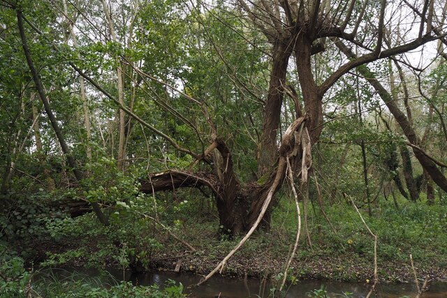
The plantation is home to a diverse range of flora and fauna, including a variety of tree species such as oak, birch, and beech. The dense forest provides a habitat for numerous wildlife species, including deer, foxes, rabbits, and a wide array of bird species. The tranquil atmosphere and abundance of wildlife make Duncan Plantation an ideal spot for birdwatching and photography.
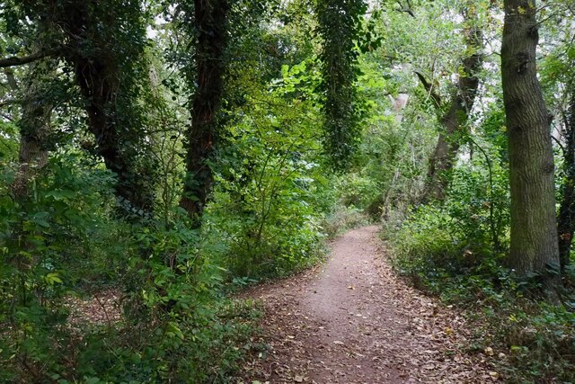
Visitors can explore the plantation through a network of well-maintained walking trails, allowing them to fully immerse themselves in the peaceful surroundings. The trails wind through the towering trees and offer stunning views of the forest, making it a perfect escape from the hustle and bustle of everyday life.
For those seeking a more adventurous experience, Duncan Plantation also offers opportunities for mountain biking and horseback riding. The plantation has designated trails specifically designed for these activities, providing exhilarating experiences for outdoor enthusiasts of all levels.
In addition to its natural beauty, Duncan Plantation also has historical significance. The site was once a part of a larger estate and has remnants of ancient structures, adding a touch of cultural heritage to the area.
Overall, Duncan Plantation in Nottinghamshire is a must-visit destination for those seeking tranquility, natural beauty, and outdoor activities. Whether it's a leisurely stroll through the woodland or an adrenaline-filled bike ride, the plantation offers something for everyone to enjoy.
If you have any feedback on the listing, please let us know in the comments section below.
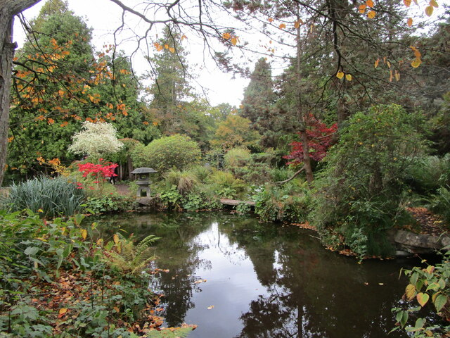
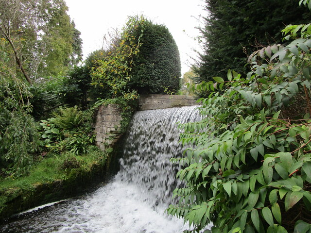
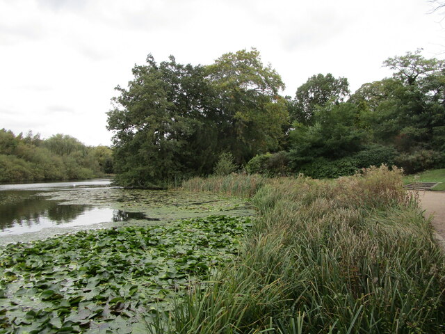
Duncan Plantation Images
Images are sourced within 2km of 53.06569/-1.1721102 or Grid Reference SK5552. Thanks to Geograph Open Source API. All images are credited.

Duncan Plantation is located at Grid Ref: SK5552 (Lat: 53.06569, Lng: -1.1721102)
Administrative County: Nottinghamshire
District: Gedling
Police Authority: Nottinghamshire
What 3 Words
///elders.shell.responds. Near Ravenshead, Nottinghamshire
Nearby Locations
Related Wikis

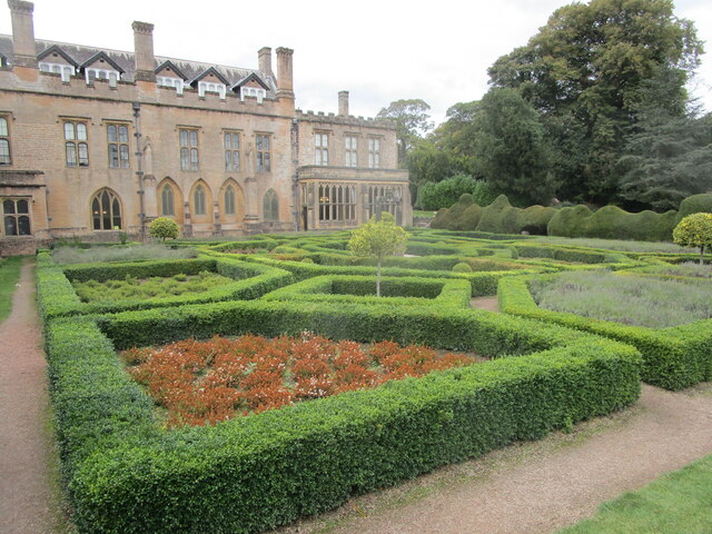
Papplewick Hall
Papplewick Hall is a Grade I listed English country house in Papplewick, Nottinghamshire. == History == It was completed around 1787 for the Hon. Frederick...

Papplewick
Papplewick is a village and civil parish in Nottinghamshire, England, 7.5 miles (12 km) north of Nottingham and 6 miles (10 km) south of Mansfield. It...

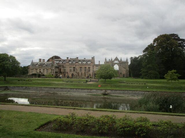
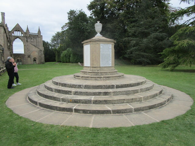
Newstead Abbey
Newstead Abbey, in Nottinghamshire, England, was formerly an Augustinian priory. Converted to a domestic home following the Dissolution of the Monasteries...
Hidden Valleys
Hidden Valleys is a name, coined in 2004, used to describe an area of interesting historical and scenic value between the city of Nottingham and the town...
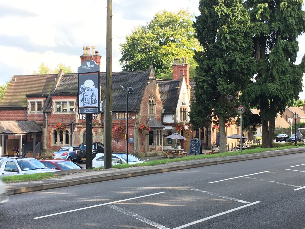
The Hutt
The Hutt is a public house located in the village of Ravenshead in Nottinghamshire, opposite Newstead Abbey. The pub was built on the site of The Royal...
Ravenshead
Ravenshead is a large village and civil parish in the Gedling district of Nottinghamshire, England. It borders Papplewick, Newstead Abbey and Blidworth...
Linby
Linby is a small village and civil parish in Nottinghamshire, England. The nearest town is Hucknall which is immediately to the south-west. The village...

Misk Hills
The Misk Hills consist of a gently undulating sandstone plateau between Hucknall and Annesley in the county of Nottinghamshire in the North East Midlands...
Nearby Amenities
Located within 500m of 53.06569,-1.1721102Have you been to Duncan Plantation?
Leave your review of Duncan Plantation below (or comments, questions and feedback).