Lower Common

Wood, Forest in Berkshire

England

Lower Common

Roundfield, Upper Bucklebury One of two cul-de-sacs sharing the same name.
Roundfield, Upper Bucklebury Credit: Oscar

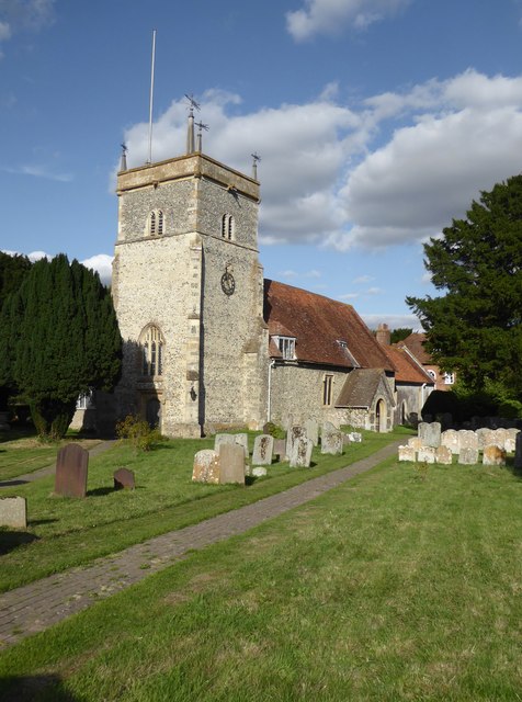
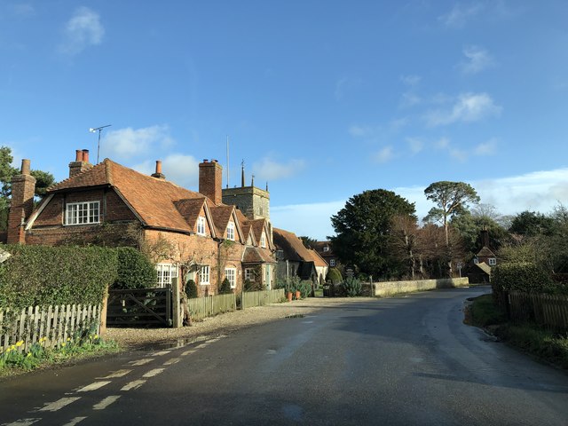
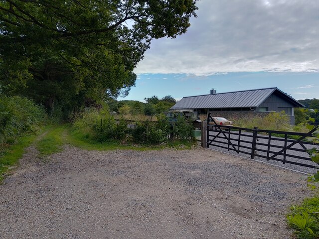
Lower Common, Berkshire, also known as Wood or Forest, is a picturesque village located in the county of Berkshire, England. Situated in the southern part of the county, Lower Common is surrounded by lush green landscapes and beautiful woodlands, making it a popular destination for nature lovers and outdoor enthusiasts.

The village is home to a small community, with a population of around 500 residents. The village is known for its peaceful and tranquil atmosphere, offering a refreshing escape from the hustle and bustle of city life. The charming cottages and traditional architecture add to the village's rustic charm.

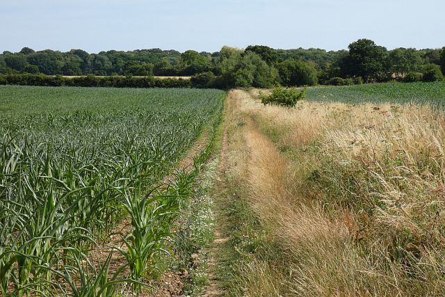
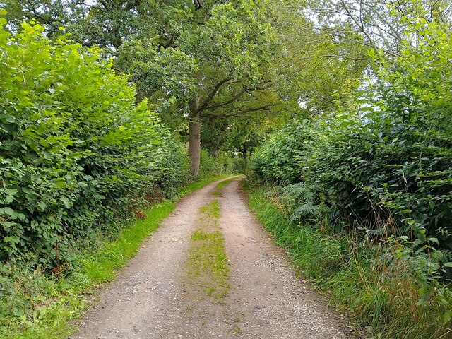
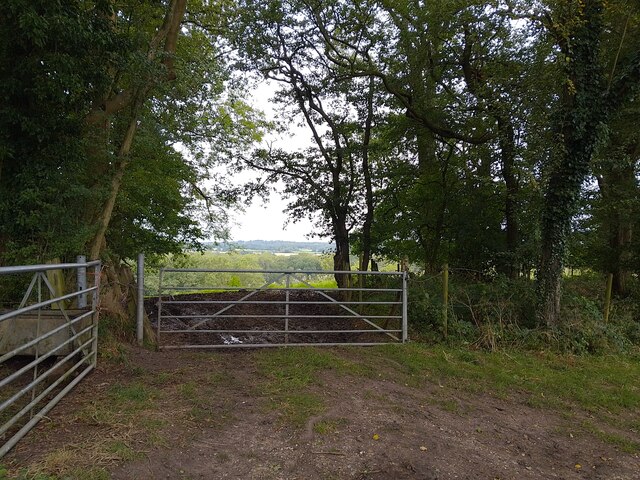
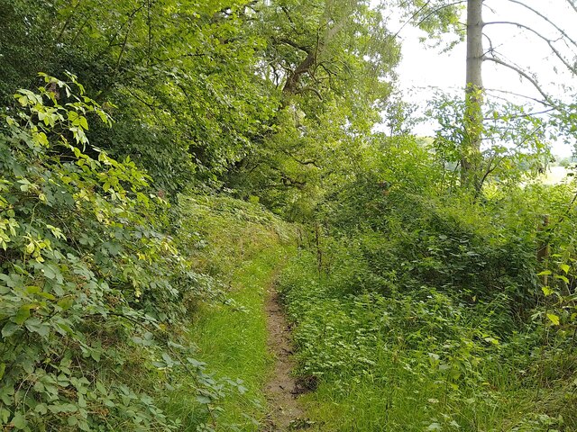
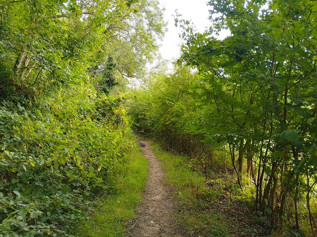
Lower Common is blessed with an abundance of natural beauty. The surrounding woodlands provide ample opportunities for hiking, walking, and exploring the local flora and fauna. The forest is home to a variety of wildlife, including deer, foxes, and a wide range of bird species, making it a haven for nature enthusiasts and birdwatchers.

Despite its small size, Lower Common offers some amenities for its residents and visitors. The village has a local pub, which serves as a social hub and a place to relax after a long day of exploring the countryside. There is also a small village shop that caters to the basic needs of the community.

Overall, Lower Common, Berkshire (Wood, Forest) is a hidden gem in the heart of Berkshire, offering a serene and idyllic setting for those seeking a peaceful retreat in the lap of nature.

If you have any feedback on the listing, please let us know in the comments section below.
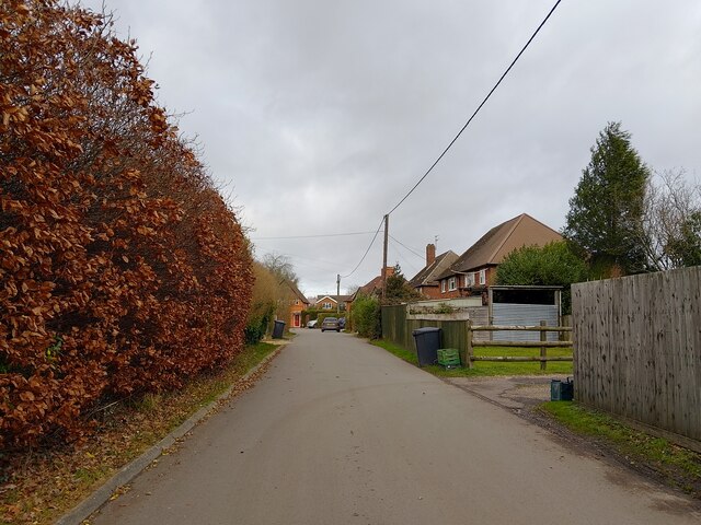
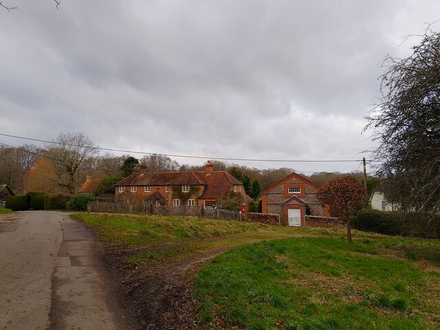
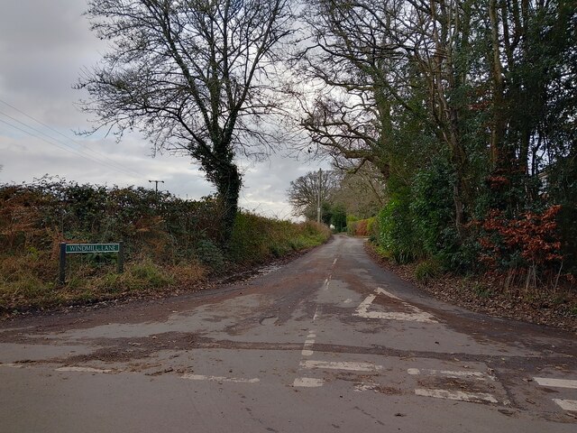
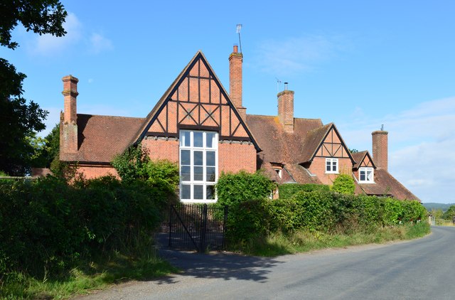
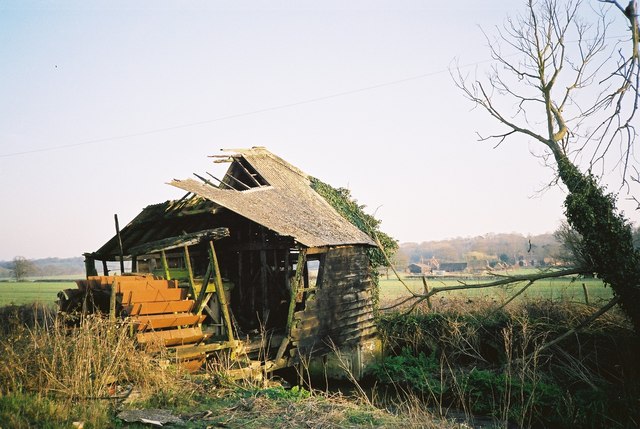
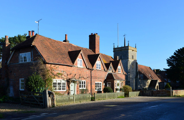
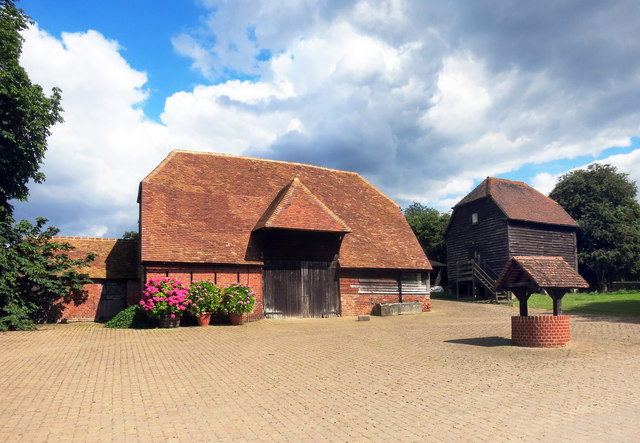
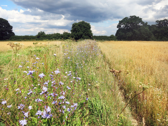
Lower Common Images

Images are sourced within 2km of 51.417826/-1.1988902 or Grid Reference SU5569. Thanks to Geograph Open Source API. All images are credited.

Roundfield, Upper Bucklebury One of two cul-de-sacs sharing the same name.
Roundfield, Upper Bucklebury
One of two cul-de-sacs sharing the same name.
Turners Green, Upper Bucklebury Apple Tree Cottage to the left, a small church to the centre and Turners Green House to the right.
Turners Green, Upper Bucklebury
Apple Tree Cottage to the left, a small church to the centre and Turners Green House to the right.
Windmill Lane Off Carbinswood Lane, leading to School Hill.
Windmill Lane
Off Carbinswood Lane, leading to School Hill.
Former school, Bucklebury, Berkshire School, now house. C17 with C19 refacing and additions to south and east. Timber framed with angle braces, brick nogging and later brick facing to rear; tiled roof with ridge stack off-centre to left above door. 3 framed bays. 2 storeys. 2 first floor 2-light C19 segmental headed casements to right with 3-light casement and small casement to left, 2 ground floor 3-light C20 casements to right with boarded door to left beneath stack. Block to left: timber framed with brick facing, hipped tile roof with stack to rear. One storey and attic. 2-light segmental headed casement to right and boarded door to left.

(Source:Historic England)
Former school, Bucklebury, Berkshire
School, now house. C17 with C19 refacing and additions to south and east. Timber framed with angle braces, brick nogging and later brick facing to rear; tiled roof with ridge stack off-centre to left above door. 3 framed bays. 2 storeys. 2 first floor 2-light C19 segmental headed casements to right with 3-light casement and small casement to left, 2 ground floor 3-light C20 casements to right with boarded door to left beneath stack. Block to left: timber framed with brick facing, hipped tile roof with stack to rear. One storey and attic. 2-light segmental headed casement to right and boarded door to left. (Source:Historic England)
Remains of a Mill in 1993 I thought I had lost this one. This is the same mill as in my 2013 picture <a href="https://www.geograph.org.uk/photo/3462437">SU5571 : Remains of a Mill</a> only taken 20 years earlier.
Enough of the structure still remains to get an idea of what the working mill must have been like.
Remains of a Mill in 1993
I thought I had lost this one. This is the same mill as in my 2013 picture SU5571 : Remains of a Mill only taken 20 years earlier. Enough of the structure still remains to get an idea of what the working mill must have been like.
Glebe House, Bucklebury, Berkshire 18 with C20 porch. Red brick with plat band to right. Half hipped old tile roof, 4 gabled eaves dormers to right with 2-light casements, end stack to right, ridge stack above door off-centre to right, and 3 stacks to rear. Altered lobby entrance type. 1 1/2 storeys. 4 ground floor 3-light casements, 2 to right with segmental relieving arches. 4-panelled door with porch between first and second windows from left, porch with hipped tile roof, panelled door and flanking windows between third and fourth windows from left.

(Source:Historic England)
Glebe House, Bucklebury, Berkshire
18 with C20 porch. Red brick with plat band to right. Half hipped old tile roof, 4 gabled eaves dormers to right with 2-light casements, end stack to right, ridge stack above door off-centre to right, and 3 stacks to rear. Altered lobby entrance type. 1 1/2 storeys. 4 ground floor 3-light casements, 2 to right with segmental relieving arches. 4-panelled door with porch between first and second windows from left, porch with hipped tile roof, panelled door and flanking windows between third and fourth windows from left. (Source:Historic England)
Barn, Well and Granary at Hillfoot Farm Original farm buildings by a new forecourt.
Barn, Well and Granary at Hillfoot Farm
Original farm buildings by a new forecourt.
Wild Flowers by the Footpath
Bucklebury church: 17th century stained glass (sundial?) A relic of 'sad, distracted times' - the maker has signed his work at the top of the panel - 'S:S: me fecit 1649'.  Around the border - at the end of radiating lines as if on a sundial - appear the Roman numerals I to XI (with a cross where XII might be expected).  Some are partly obscured by the lead mounting, so that while VI is fully legible (top left), VII and VIII (starting top right) both appear to replicate VI.

Beneath the escutcheon (shield) an inscription reads: 'Th:S & St' - the meaning of which I can't guess at.

Two areas of blue pigment have been lost from above the chevron on the left.   The golden yellow pigment could well be gamboge.

Afterthought (12.9.2018): on reflection, this must have been intended as a sundial (of sorts) - though it would seem to need a 'pointer'.  The numbering of the hours suggests that it was designed for a south-facing window, not its current position in the north aisle.
Bucklebury church: 17th century stained glass (sundial?)
A relic of 'sad, distracted times' - the maker has signed his work at the top of the panel - 'S:S: me fecit 1649'. Around the border - at the end of radiating lines as if on a sundial - appear the Roman numerals I to XI (with a cross where XII might be expected). Some are partly obscured by the lead mounting, so that while VI is fully legible (top left), VII and VIII (starting top right) both appear to replicate VI. Beneath the escutcheon (shield) an inscription reads: 'Th:S & St' - the meaning of which I can't guess at. Two areas of blue pigment have been lost from above the chevron on the left. The golden yellow pigment could well be gamboge. Afterthought (12.9.2018): on reflection, this must have been intended as a sundial (of sorts) - though it would seem to need a 'pointer'. The numbering of the hours suggests that it was designed for a south-facing window, not its current position in the north aisle.
Bucklebury church: man-and-wheel carving To be found quite high up on a buttress of the church tower - to the right of the clock and at a slightly lower level. 

Am I right in thinking that there's a weathered inscription above the figure?  In any case, what is he doing to the wheel, and what is the implement in his hands?  Is there any significance in the fact that the wheel has twelve spokes, and the orientation is much like a clock face?

In terms of style, I'm reminded of these figures at Saffron Walden: <a title="https://www.geograph.org.uk/photo/3546187" href="https://www.geograph.org.uk/photo/3546187">Link</a> - which may give a clue to date.
Bucklebury church: man-and-wheel carving
To be found quite high up on a buttress of the church tower - to the right of the clock and at a slightly lower level. Am I right in thinking that there's a weathered inscription above the figure? In any case, what is he doing to the wheel, and what is the implement in his hands? Is there any significance in the fact that the wheel has twelve spokes, and the orientation is much like a clock face? In terms of style, I'm reminded of these figures at Saffron Walden: Link - which may give a clue to date.
Bucklebury: church of St Mary the Virgin
Cottages at Bucklebury Looking past the cottages near St Mary's church at Bucklebury
Cottages at Bucklebury
Looking past the cottages near St Mary's church at Bucklebury
Farmland, Bucklebury A footpath makes its way between fields of maize, the growth of which has been somewhat stunted due to dry conditions.
Farmland, Bucklebury
A footpath makes its way between fields of maize, the growth of which has been somewhat stunted due to dry conditions.
Chapel Row bridleway A bridleway that runs from Chapel Row to Jewell's Farm.
Chapel Row bridleway
A bridleway that runs from Chapel Row to Jewell's Farm.
St Crispins Farm bridleway A bridleway passing the farm.
St Crispins Farm bridleway
A bridleway passing the farm.
Old Orchard Wood from bridleway Looking from a bridleway near St Crispin's Farm down the hill past a gate towards Old Orchard Wood.
Old Orchard Wood from bridleway
Looking from a bridleway near St Crispin's Farm down the hill past a gate towards Old Orchard Wood.
St Crispins Farm bridleway A bridleway that runs from Chapel Row to Jewell's Farm.
St Crispins Farm bridleway
A bridleway that runs from Chapel Row to Jewell's Farm.
St Crispins Farm bridleway A bridleway that runs from Chapel Row to Jewell's Farm.
St Crispins Farm bridleway
A bridleway that runs from Chapel Row to Jewell's Farm.
Show me another place!

Lower Common is located at Grid Ref: SU5569 (Lat: 51.417826, Lng: -1.1988902)

Unitary Authority: West Berkshire

Police Authority: Thames Valley

What 3 Words

///post.engraving.drives. Near Thatcham, Berkshire

Related Wikis

Bucklebury Common

Bucklebury Common is an elevated common consisting of woodland with a few relatively small clearings in the English county of Berkshire, within the civil...

Bucklebury Manor

Bucklebury Manor is a Grade II listed manor house in the civil parish of Bucklebury in the English county of Berkshire. Since 2012, it has been the home...

Midgham Green

Midgham Green is a hamlet in the civil parish of Midgham in the English county of Berkshire. The settlement lies near to the A4 road and is located approximately...

Chapel Row

Chapel Row is a hamlet in West Berkshire, England, and part of the civil parish of Bucklebury. In 2019 it had an estimated population of 627. == History... ==

The Bladebone Inn

The Bladebone Inn is a public house at Chapel Row in the civil parish of Bucklebury in the English county of Berkshire. == History == Records show that...

Bucklebury Farm Park

Bucklebury Farm Park is an animal park located in Bucklebury in Berkshire, England. The Farm Park consists of mostly Animals, Play equipment, Deer and...

Briff Lane Meadows

Briff Lane Meadows is a 8.9-hectare (22-acre) biological Site of Special Scientific Interest north of Thatcham in Berkshire.These meadows have unimproved...

Bucklebury

Bucklebury is a village and civil parish in West Berkshire, England, about 5 miles (8 km) north-east of Newbury and 1–3 miles (1.6–4.8 km) north of the...

Nearby Amenities

Located within 500m of 51.417826,-1.1988902
The data included in this document is from www.openstreetmap.org. The data is made available under ODbL.

Have you been to Lower Common?

Leave your review of Lower Common below (or comments, questions and feedback).