West Croft Plantation
Wood, Forest in Nottinghamshire Mansfield
England
West Croft Plantation
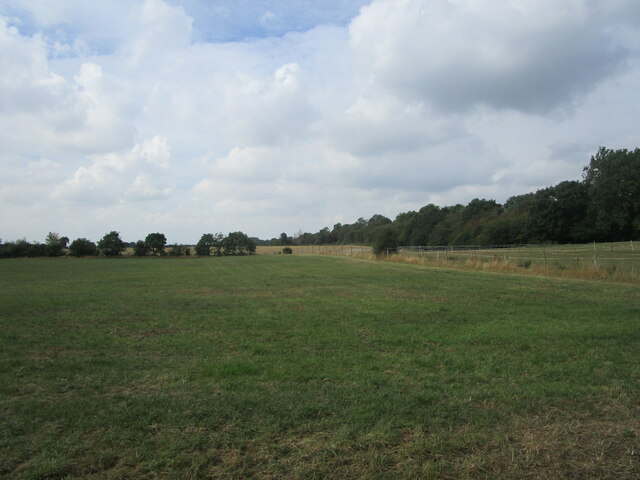
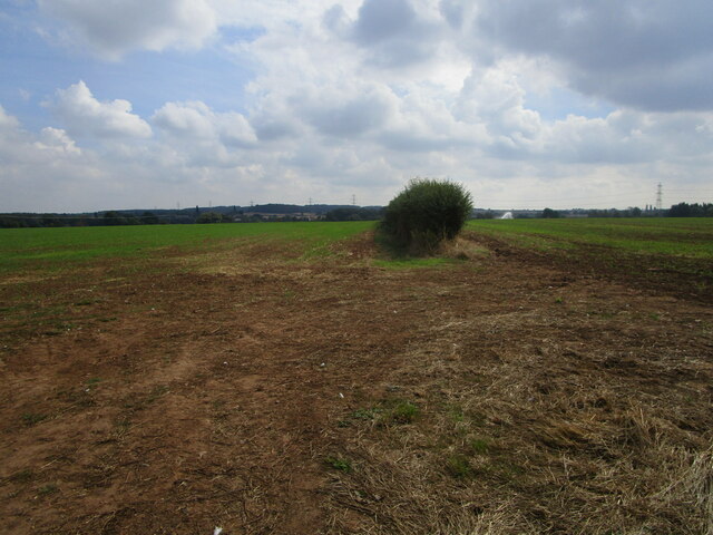
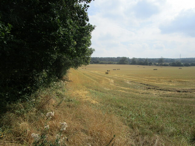
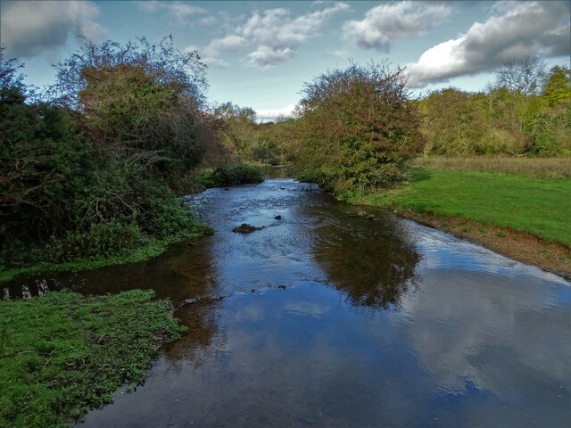
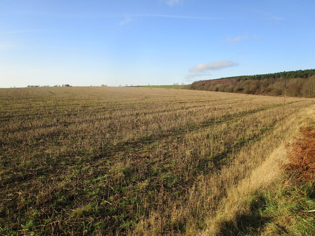
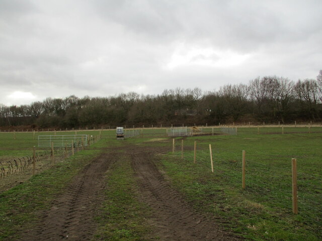
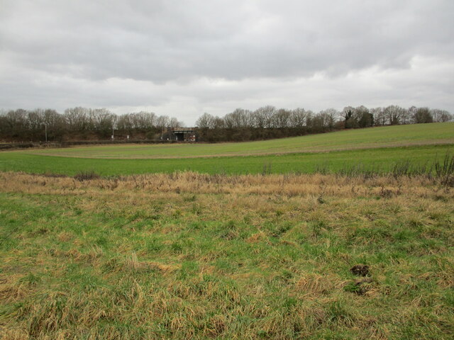
West Croft Plantation is a woodland located in Nottinghamshire, England. Situated in the heart of the county, the plantation covers an area of approximately 100 acres. It is nestled within the larger Sherwood Forest, famous for its association with the legendary figure of Robin Hood.
The woodland is predominantly composed of deciduous trees, with oak, birch, and beech being the most common species. These trees create a dense canopy, providing a haven for a diverse range of flora and fauna. Bluebells, primroses, and wild garlic carpet the forest floor during spring, creating a stunning display of colors.
The plantation is well-preserved and managed by local authorities, ensuring its ecological significance is maintained. It serves as an important habitat for a variety of wildlife, including deer, foxes, badgers, and a multitude of bird species. The peaceful environment and abundance of resources make it an ideal location for many animals to call home.
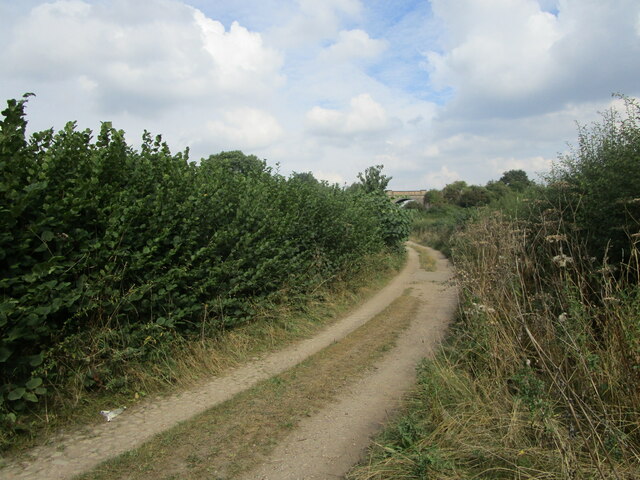
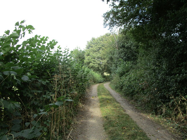
For nature enthusiasts, West Croft Plantation offers a tranquil setting for walking, birdwatching, and photography. There are numerous walking trails winding through the woodland, allowing visitors to explore the beauty and serenity of the area. Interpretive signs along the trails provide information about the local flora and fauna, enhancing the educational experience.
Overall, West Croft Plantation is a cherished natural gem in Nottinghamshire. Its lush woodlands, rich biodiversity, and accessibility make it a popular destination for both locals and tourists seeking a peaceful retreat in the heart of Sherwood Forest.
If you have any feedback on the listing, please let us know in the comments section below.
West Croft Plantation Images
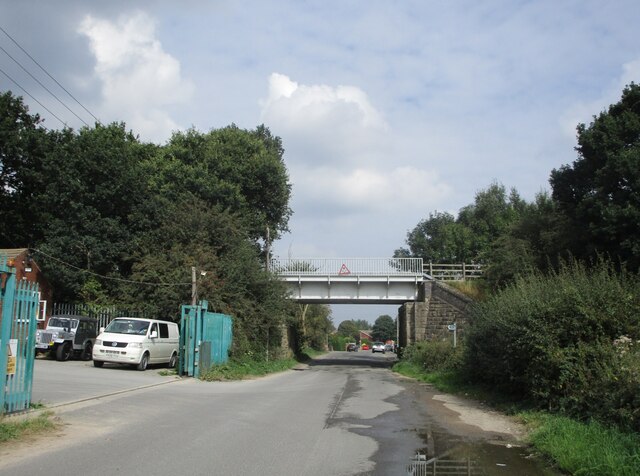
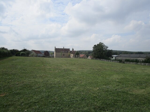
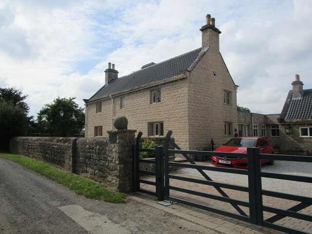
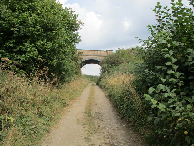
Images are sourced within 2km of 53.186966/-1.1685648 or Grid Reference SK5565. Thanks to Geograph Open Source API. All images are credited.
West Croft Plantation is located at Grid Ref: SK5565 (Lat: 53.186966, Lng: -1.1685648)
Administrative County: Nottinghamshire
District: Mansfield
Police Authority: Nottinghamshire
What 3 Words
///takers.loved.pedicure. Near Market Warsop, Nottinghamshire
Nearby Locations
Related Wikis

Spion Kop, Nottinghamshire
Spion Kop is a small residential and former industrial area in Nottinghamshire, England, stretching for a few hundred yards on both sides of the main A60...

John Fretwell Sporting Complex
The John Fretwell Sporting Complex is a cricket ground located at Nettleworth near Market Warsop in Warsop parish, Nottinghamshire, England. The ground...
Sookholme
Sookholme is a village and former civil parish, now in the parish of Warsop in the Mansfield district of western Nottinghamshire, England. It is 120 miles...
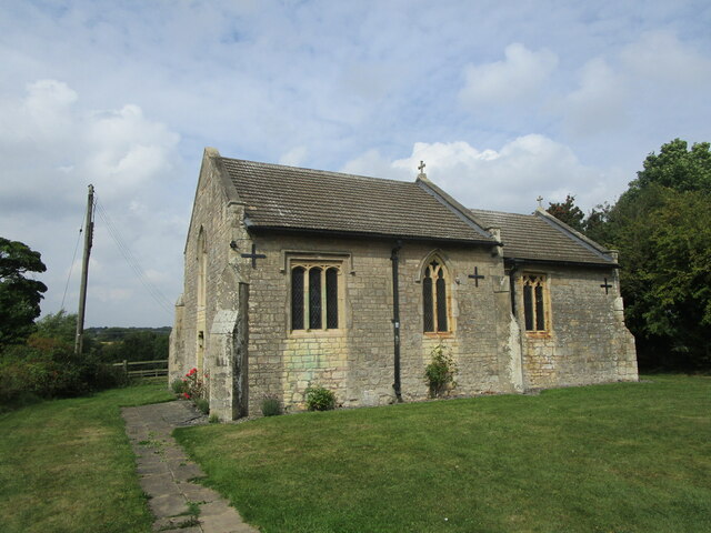
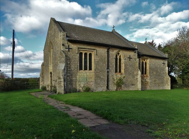
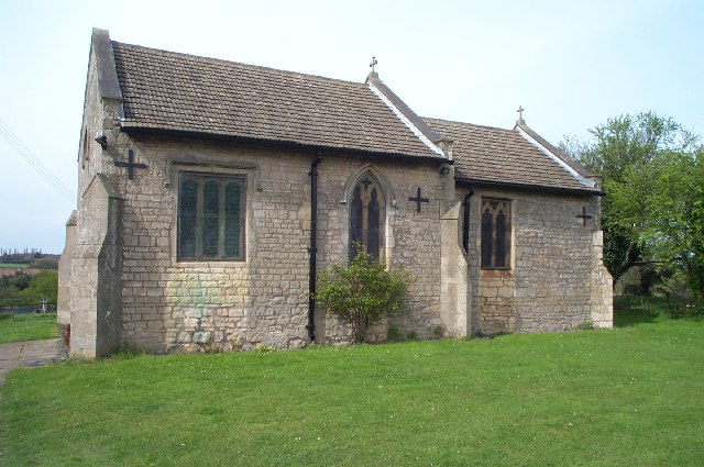
St Augustine's Church, Sookholme
St Augustine's Church, Sookholme is a Grade I listed parish church in the Church of England in Sookholme near Warsop. == History == The church was built...
Nearby Amenities
Located within 500m of 53.186966,-1.1685648Have you been to West Croft Plantation?
Leave your review of West Croft Plantation below (or comments, questions and feedback).