The Bottoms
Wood, Forest in Nottinghamshire Mansfield
England
The Bottoms
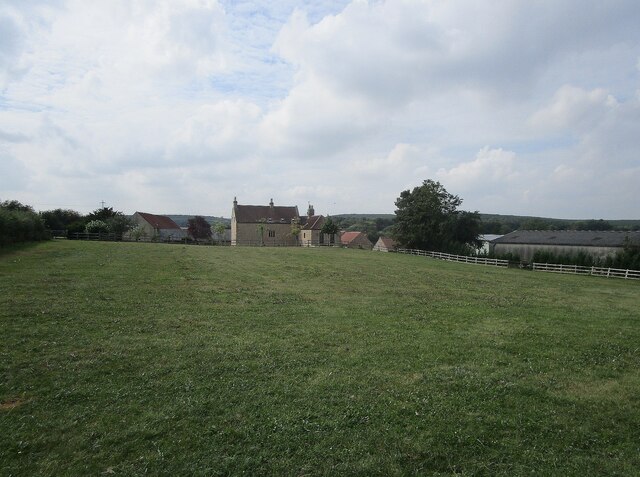
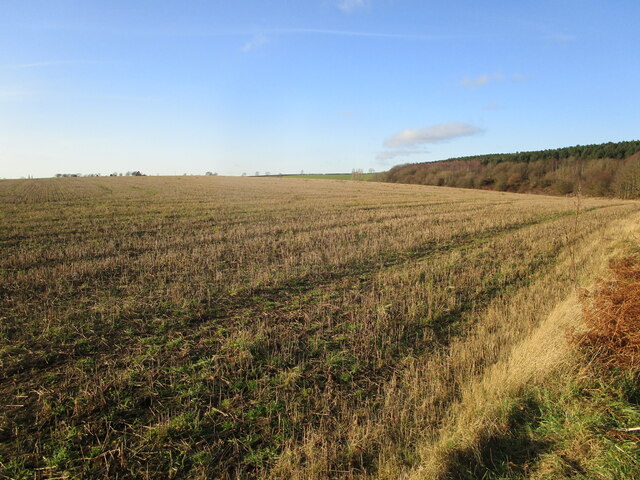
The Bottoms is a small village located in the county of Nottinghamshire, England. Situated within the larger area known as Wood, Forest, it is nestled in a picturesque countryside setting. The village is characterized by its lush green fields, rolling hills, and serene atmosphere.
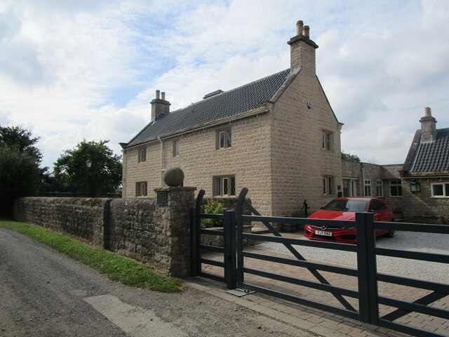
With a population of roughly 500 residents, The Bottoms exudes a tight-knit community spirit. The village is predominantly residential, with charming cottages and traditional houses dotting the landscape. Many of these properties boast well-maintained gardens and beautiful floral displays during the warmer months.
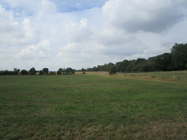
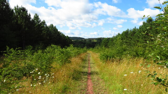
The Bottoms is surrounded by dense woodlands, offering ample opportunities for nature enthusiasts to explore and enjoy outdoor activities. The nearby Sherwood Forest, famous for its association with the legendary Robin Hood, is a popular attraction for both locals and tourists alike. It provides a tranquil retreat for those seeking a peaceful walk or a chance to observe local wildlife.
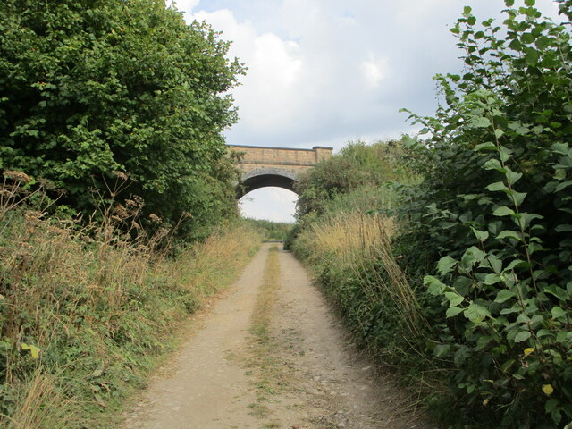
Despite its rural setting, The Bottoms benefits from good transport links to nearby towns and cities. The village is serviced by a regular bus service, allowing residents to easily access amenities such as shops, schools, and healthcare facilities. Additionally, the nearby motorway provides convenient access to larger urban areas further afield.
The Bottoms is a quintessential English village, offering a peaceful and idyllic lifestyle surrounded by natural beauty. It embodies the charm and tranquility often associated with rural communities, making it a desirable place to live for those seeking a slower pace of life.
If you have any feedback on the listing, please let us know in the comments section below.
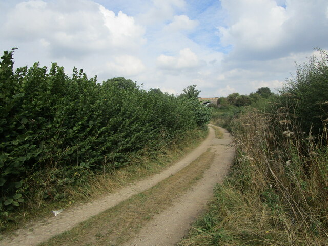
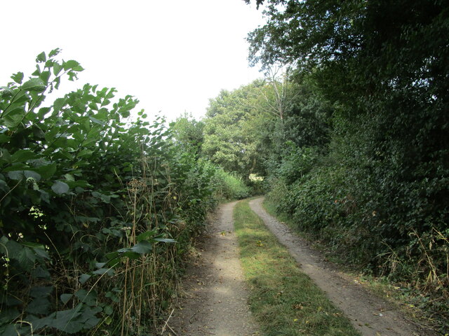
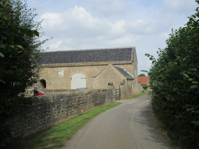
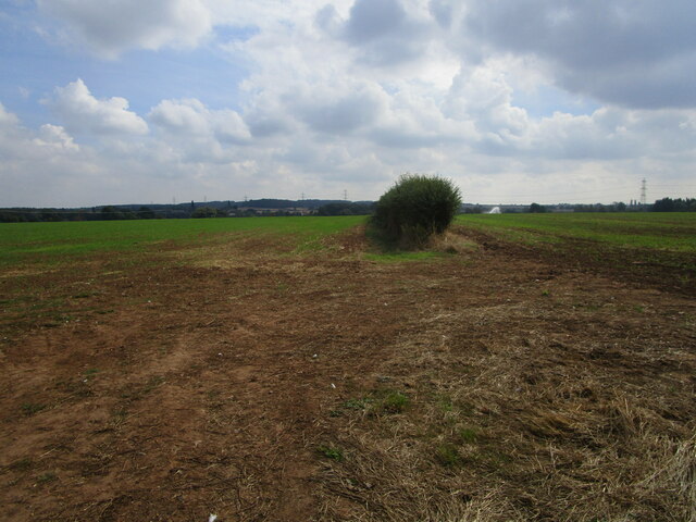
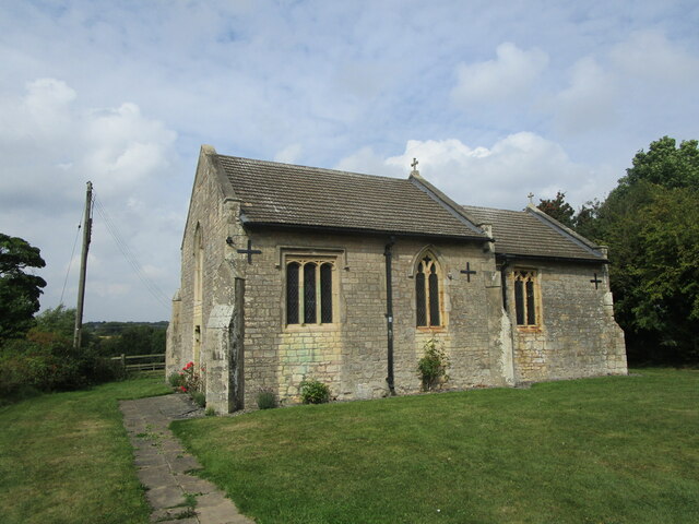
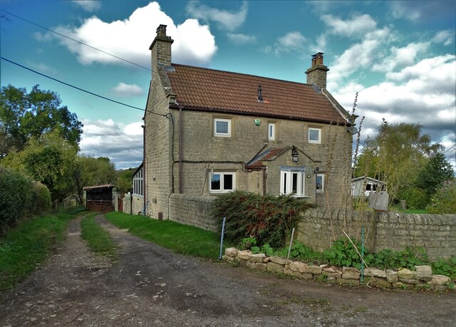
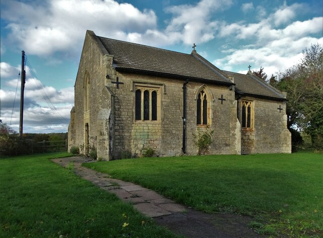
The Bottoms Images
Images are sourced within 2km of 53.18438/-1.1753638 or Grid Reference SK5565. Thanks to Geograph Open Source API. All images are credited.


The Bottoms is located at Grid Ref: SK5565 (Lat: 53.18438, Lng: -1.1753638)
Administrative County: Nottinghamshire
District: Mansfield
Police Authority: Nottinghamshire
What 3 Words
///hype.unlucky.fabricate. Near Mansfield Woodhouse, Nottinghamshire
Nearby Locations
Related Wikis

John Fretwell Sporting Complex
The John Fretwell Sporting Complex is a cricket ground located at Nettleworth near Market Warsop in Warsop parish, Nottinghamshire, England. The ground...

Spion Kop, Nottinghamshire
Spion Kop is a small residential and former industrial area in Nottinghamshire, England, stretching for a few hundred yards on both sides of the main A60...
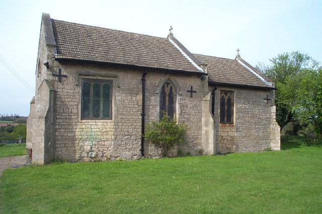
St Augustine's Church, Sookholme
St Augustine's Church, Sookholme is a Grade I listed parish church in the Church of England in Sookholme near Warsop. == History == The church was built...
Sookholme
Sookholme is a village and former civil parish, now in the parish of Warsop in the Mansfield district of western Nottinghamshire, England. It is 120 miles...

The Manor Academy
The Manor Academy is a co-educational secondary school with academy status in Mansfield Woodhouse, Nottinghamshire, overseen by and part of The Two Counties...
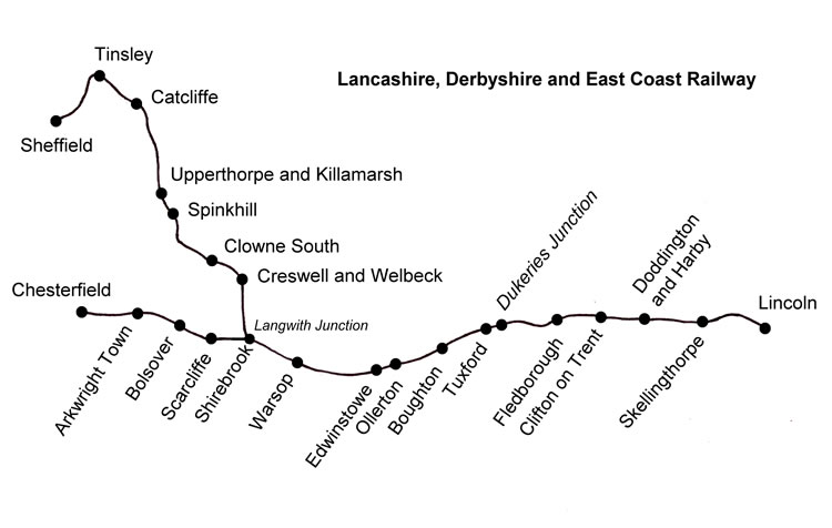
Warsop railway station
Warsop railway station is a former railway station in Market Warsop, Nottinghamshire, England. == History == The station was opened by the Lancashire,...

Warsop
Warsop is a town and civil parish in Mansfield District, Nottinghamshire, England, on the outskirts of the remnants of Sherwood Forest. At the 2001 census...
Warsop Vale
Warsop Vale is a village in the Mansfield district of western Nottinghamshire, England. It is 18 miles (29 km) north of Nottingham, and 5 miles (8.0 km...
Nearby Amenities
Located within 500m of 53.18438,-1.1753638Have you been to The Bottoms?
Leave your review of The Bottoms below (or comments, questions and feedback).