Prince's Plantation
Wood, Forest in Yorkshire
England
Prince's Plantation

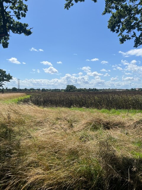
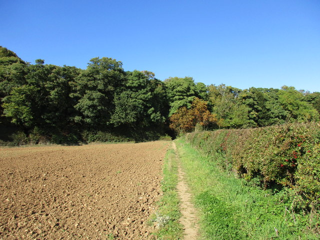
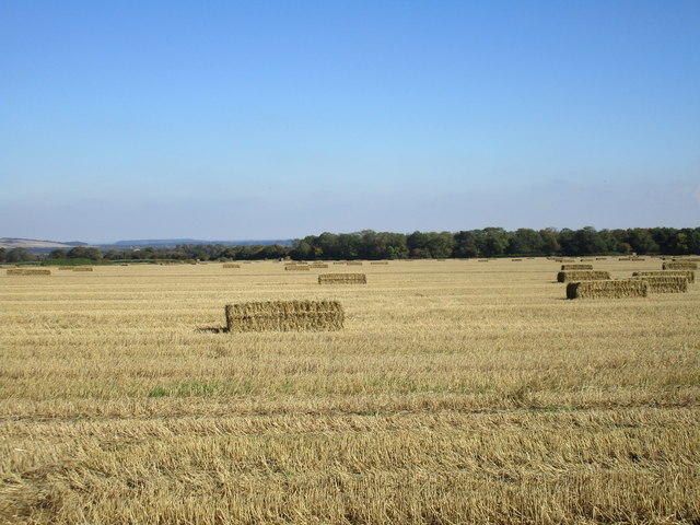
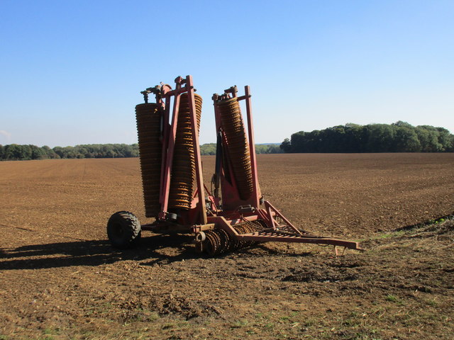
Prince's Plantation is a picturesque woodland located in the heart of Yorkshire, England. Spanning over a vast area, this enchanting forest is renowned for its scenic beauty, rich history, and diverse wildlife.
The plantation gets its name from the Prince family, who originally owned the land centuries ago. Today, it is managed and preserved by the local authorities, ensuring its natural integrity is maintained. The woodland is a mix of native trees, including oak, beech, and birch, creating a captivating tapestry of colors throughout the year.
Nature enthusiasts are drawn to Prince's Plantation due to its abundant wildlife. The forest is home to a variety of bird species, including woodpeckers, owls, and migratory birds. It is also a habitat for small mammals like squirrels, rabbits, and foxes. Visitors can often spot these animals while walking along the well-maintained trails that crisscross the woodland.
Aside from its natural beauty, Prince's Plantation holds historical significance. The forest was once a royal hunting ground, frequented by British monarchs during medieval times. The remnants of ancient hunting lodges and boundary markers can still be found within the woodland, offering glimpses into its regal past.
Prince's Plantation is a haven for outdoor enthusiasts, providing opportunities for walking, jogging, and picnicking. The well-marked trails cater to all levels of fitness, making it accessible to visitors of all ages. Its serene atmosphere and stunning vistas make it an ideal destination for nature lovers seeking tranquility and a connection with the natural world.
If you have any feedback on the listing, please let us know in the comments section below.
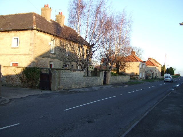
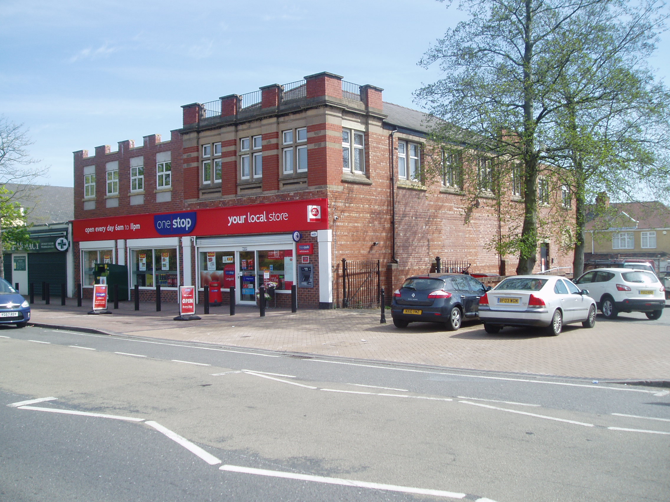
Prince's Plantation Images
Images are sourced within 2km of 53.386324/-1.1647168 or Grid Reference SK5588. Thanks to Geograph Open Source API. All images are credited.


Prince's Plantation is located at Grid Ref: SK5588 (Lat: 53.386324, Lng: -1.1647168)
Division: West Riding
Unitary Authority: Rotherham
Police Authority: South Yorkshire
What 3 Words
///clockwork.workouts.access. Near Dinnington, South Yorkshire
Nearby Locations
Related Wikis

RAF Firbeck
Royal Air Force Firbeck or more simply RAF Firbeck is a former Royal Air Force station located west of Firbeck, South Yorkshire, England. The airfield...

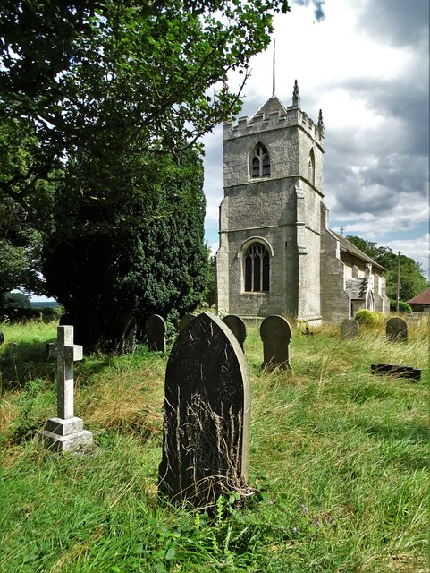
St Peter's Church, Letwell
St Peter's Church, Letwell, is a parish church of the Church of England in Letwell. == Background == The Church of St Peter is found at the west end of...
Firbeck
Firbeck is a village and civil parish in the Metropolitan Borough of Rotherham in South Yorkshire, England, on the border with Nottinghamshire. It lies...
Letwell
Letwell is a rural village and civil parish in the Metropolitan Borough of Rotherham in South Yorkshire, England, on the border with Nottinghamshire. It...

Stone, South Yorkshire
Stone is a hamlet in the civil parish of Maltby, in the Rotherham district lying to the south of Rotherham, South Yorkshire, England. Roche Abbey stands...

Roche Abbey
Roche Abbey is a now-ruined abbey in the civil parish of Maltby, Rotherham, South Yorkshire, England. It is in the valley of Maltby Dyke, known locally...
Throapham
Throapham is a hamlet in the Metropolitan Borough of Rotherham in South Yorkshire, England. Throapham was historically a township in the ancient parish...
Langold
Langold is a village in the civil parish of Hodsock, in the Bassetlaw district, north Nottinghamshire, England. At the 2011 census it was defined as a...
Nearby Amenities
Located within 500m of 53.386324,-1.1647168Have you been to Prince's Plantation?
Leave your review of Prince's Plantation below (or comments, questions and feedback).