Clifton Heath
Wood, Forest in Oxfordshire South Oxfordshire
England
Clifton Heath

Clifton Heath, located in Oxfordshire, is a picturesque wood and forest area that offers a serene and enchanting escape from the bustling city life. Spanning over a vast expanse, this natural haven is a popular destination for nature lovers, hikers, and outdoor enthusiasts.
The woodland of Clifton Heath is known for its diverse flora and fauna, with a rich variety of trees, including oak, birch, and beech, creating a lush canopy overhead. The forest floor is carpeted with vibrant wildflowers and ferns, adding to the area's natural beauty. The wood is teeming with wildlife, providing a home to numerous species such as deer, foxes, badgers, and a wide array of birdlife.
Tranquil walking trails wind through Clifton Heath, allowing visitors to immerse themselves in the peaceful surroundings. These paths offer a chance to explore the wood at a leisurely pace, with opportunities to observe the local wildlife and enjoy the soothing sounds of nature. Additionally, the wood provides a perfect setting for picnics, photography, and even camping, with designated areas available for those wishing to spend a night under the stars.
Clifton Heath is not only cherished for its natural beauty but also for its historical significance. The wood has been a part of the local landscape for centuries, with evidence of human habitation dating back to ancient times. Archaeological sites within the forest have yielded artifacts and remnants from various historical periods, providing a glimpse into the area's past.
Overall, Clifton Heath offers a captivating blend of natural wonders and historical significance, making it a must-visit destination for anyone seeking tranquility and a deeper connection with nature.
If you have any feedback on the listing, please let us know in the comments section below.
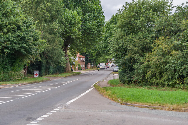
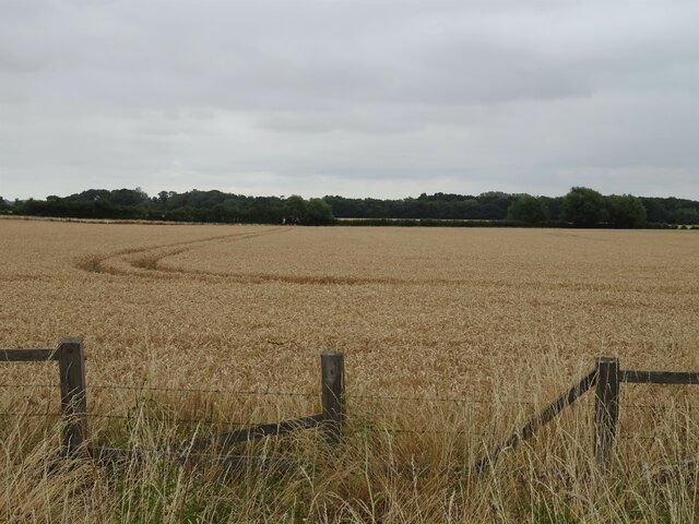
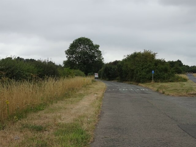
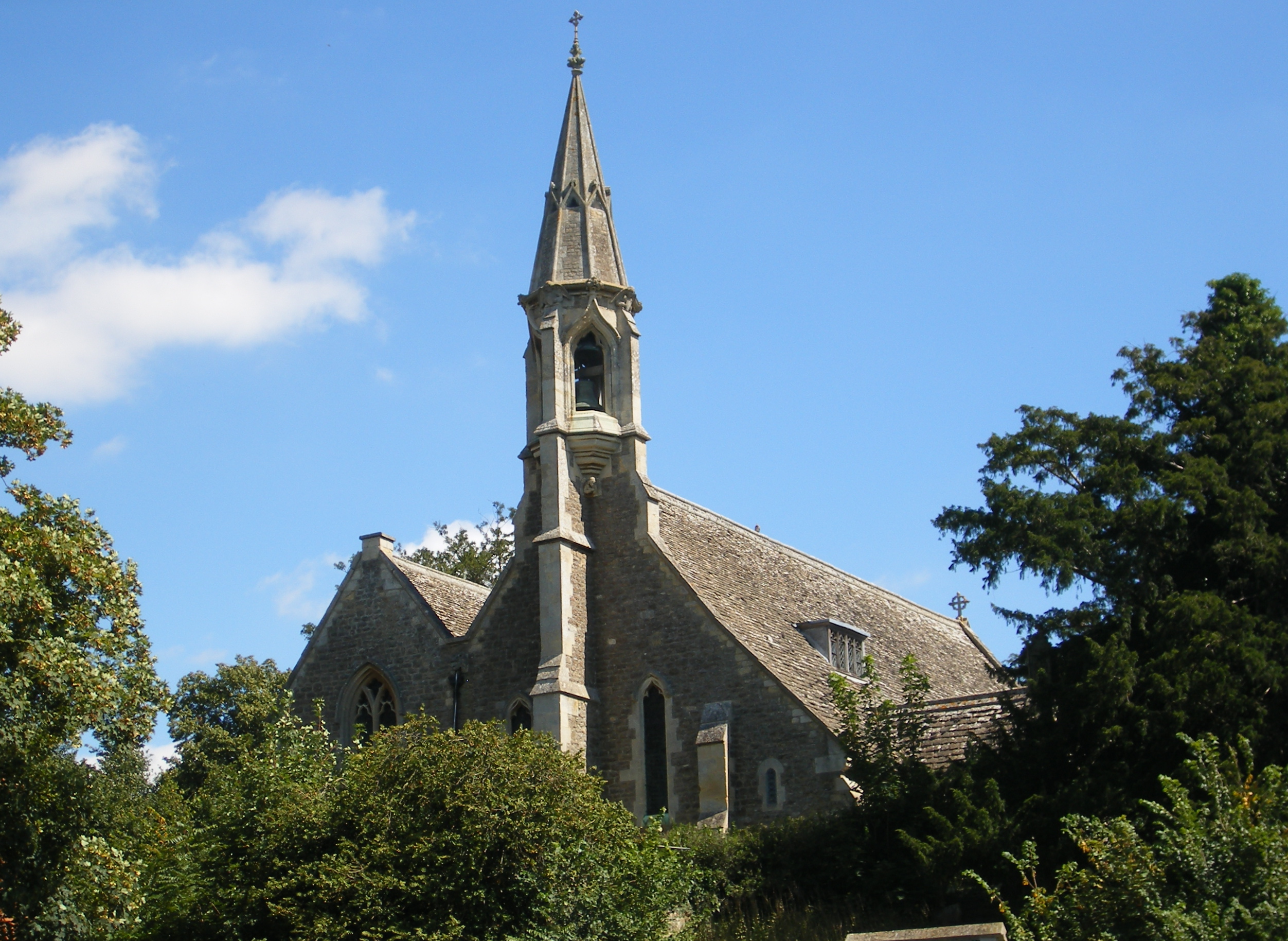
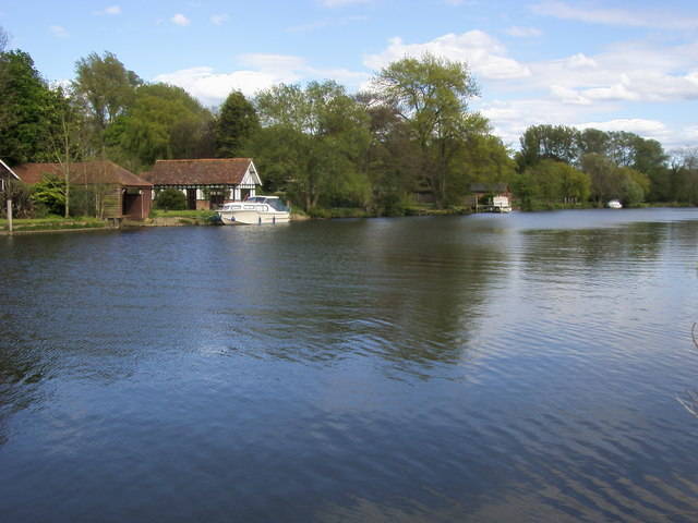
Clifton Heath Images
Images are sourced within 2km of 51.66933/-1.2014761 or Grid Reference SU5597. Thanks to Geograph Open Source API. All images are credited.


Clifton Heath is located at Grid Ref: SU5597 (Lat: 51.66933, Lng: -1.2014761)
Administrative County: Oxfordshire
District: South Oxfordshire
Police Authority: Thames Valley
What 3 Words
///dirt.importers.slicer. Near Radley, Oxfordshire
Nearby Locations
Related Wikis

Culham Rural District
Culham was a rural district in Oxfordshire, England, from 1894 to 1932. It was formed under the Local Government Act 1894 from the part of the Abingdon...

Harcourt Arboretum
Harcourt Arboretum is an arboretum owned and run by the University of Oxford. It is a satellite of the university's botanic garden in the city of Oxford...
Clifton Hampden
Clifton Hampden is a village and civil parish on the north bank of the River Thames, just over 3 miles (5 km) east of Abingdon in Oxfordshire. Since 1932...
Burcot, Oxfordshire
Burcot is a hamlet in the civil parish of Clifton Hampden, in the South Oxfordshire district, in the county of Oxfordshire, England. It is on the left...
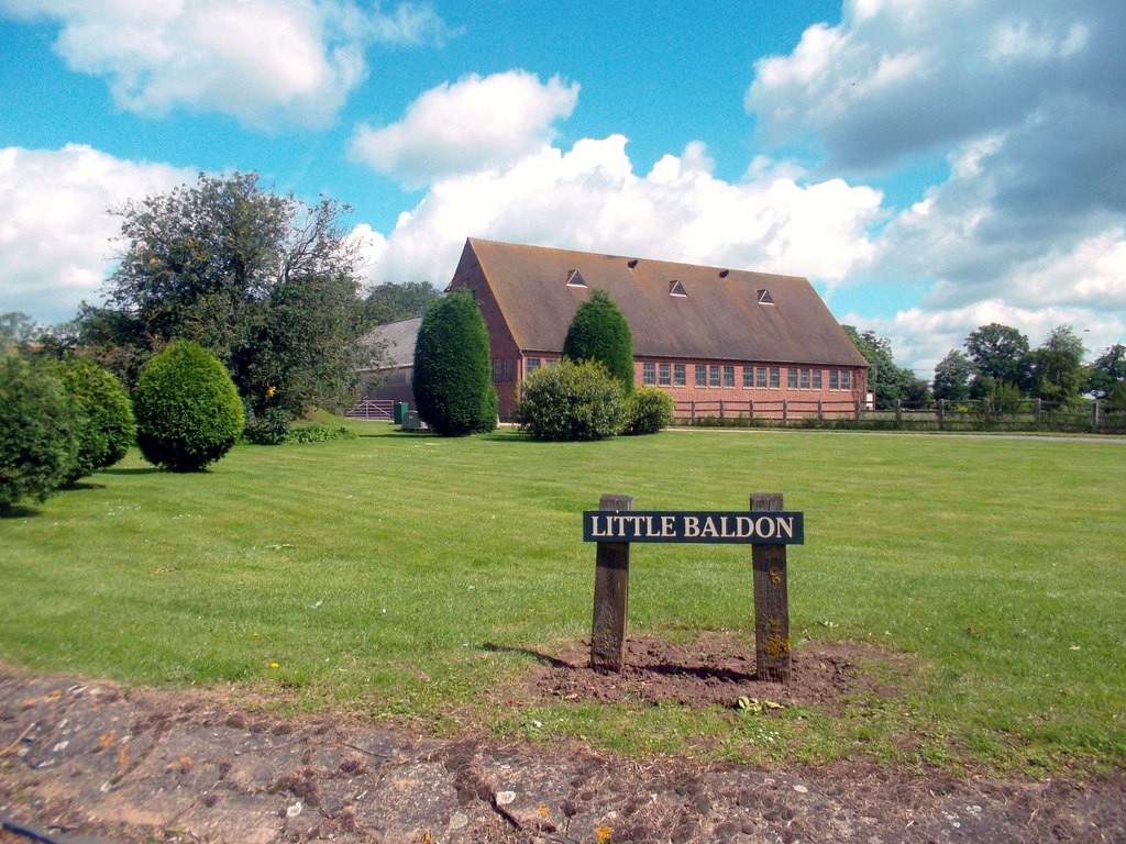
Little Baldon
Little Baldon is a hamlet in the Marsh Baldon civil parish, about 5 miles (8 km) southeast of Oxford in Oxfordshire, south of Marsh Baldon and west of...
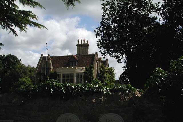
Clifton Hampden Manor
Clifton Hampden Manor is a country house in the village of Clifton Hampden, Oxfordshire, England, overlooking the River Thames. It has been a Grade II...
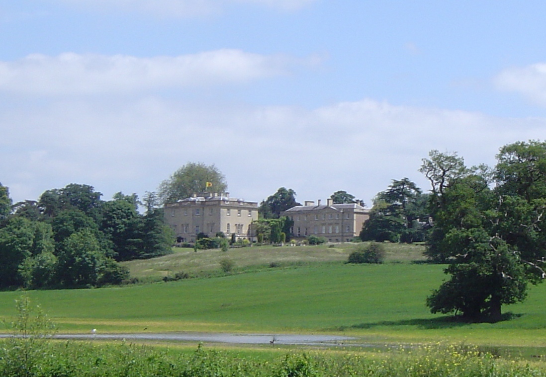
Nuneham House
Nuneham House is an eighteenth century villa in the Palladian style, set in parkland at Nuneham Courtenay in Oxfordshire, England. It is currently owned...

Little Baldon air crash
The Little Baldon air crash occurred on 6 July 1965 when a Handley Page Hastings C1A transport aircraft operated by No. 36 Squadron Royal Air Force, registration...
Nearby Amenities
Located within 500m of 51.66933,-1.2014761Have you been to Clifton Heath?
Leave your review of Clifton Heath below (or comments, questions and feedback).