Golden Balls
Settlement in Oxfordshire South Oxfordshire
England
Golden Balls

Golden Balls is a small village located in Oxfordshire, England. Situated approximately 4 miles southeast of Oxford city center, the village is known for its picturesque countryside and historical charm. With a population of around 500 residents, Golden Balls offers a tranquil and tight-knit community atmosphere.
The village is surrounded by beautiful landscapes, including rolling hills, meandering rivers, and lush green fields. It is a popular destination for nature enthusiasts, offering numerous walking and cycling trails that showcase the area's natural beauty.
Golden Balls boasts a rich history dating back to the medieval era. The village is home to several well-preserved historic buildings, such as the Grade II-listed Golden Balls Inn, which dates back to the 17th century. This traditional pub serves as a focal point for both locals and visitors, offering a warm and friendly atmosphere along with a selection of traditional British cuisine and beverages.
Despite its small size, Golden Balls offers a range of amenities for its residents. These include a primary school, a village hall, and a local shop, providing essential services and fostering a sense of community spirit.
The village enjoys excellent transport links, with regular bus services connecting Golden Balls to nearby towns and cities. The proximity to Oxford allows residents to easily access a wider range of amenities, including shopping centers, educational institutions, and cultural attractions.
Overall, Golden Balls offers a peaceful and idyllic setting, making it an appealing place for those seeking a rural lifestyle within close proximity to urban conveniences.
If you have any feedback on the listing, please let us know in the comments section below.
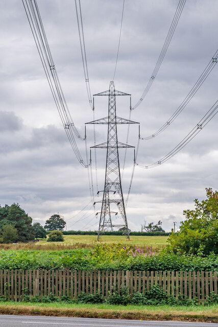
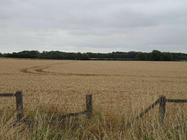
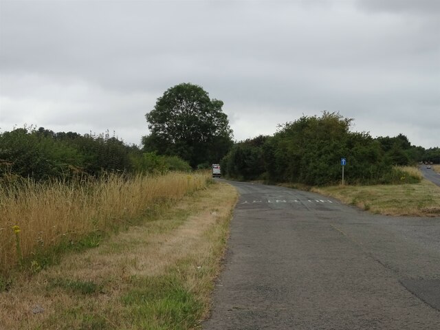
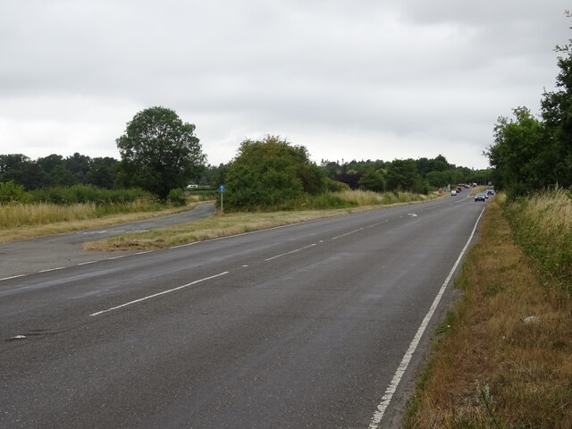
Golden Balls Images
Images are sourced within 2km of 51.669091/-1.2061075 or Grid Reference SU5597. Thanks to Geograph Open Source API. All images are credited.


Golden Balls is located at Grid Ref: SU5597 (Lat: 51.669091, Lng: -1.2061075)
Administrative County: Oxfordshire
District: South Oxfordshire
Police Authority: Thames Valley
What 3 Words
///shunning.reeling.stays. Near Radley, Oxfordshire
Nearby Locations
Related Wikis

Culham Rural District
Culham was a rural district in Oxfordshire, England, from 1894 to 1932. It was formed under the Local Government Act 1894 from the part of the Abingdon...
Clifton Hampden
Clifton Hampden is a village and civil parish on the north bank of the River Thames, just over 3 miles (5 km) east of Abingdon in Oxfordshire. Since 1932...
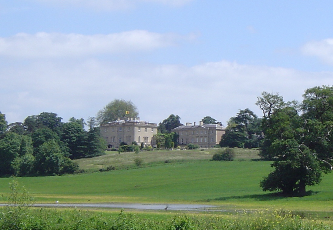
Nuneham House
Nuneham House is an eighteenth century villa in the Palladian style, set in parkland at Nuneham Courtenay in Oxfordshire, England. It is currently owned...
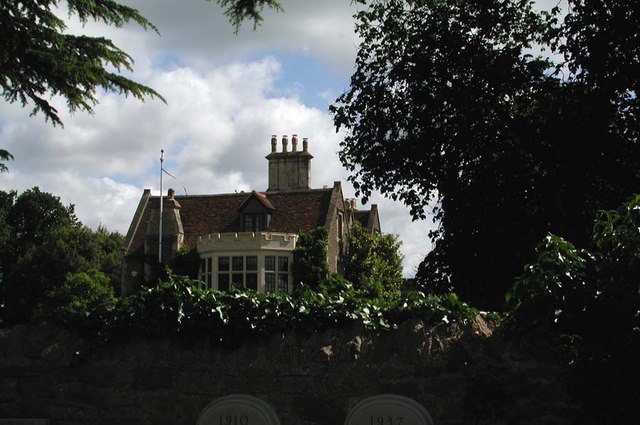
Clifton Hampden Manor
Clifton Hampden Manor is a country house in the village of Clifton Hampden, Oxfordshire, England, overlooking the River Thames. It has been a Grade II...
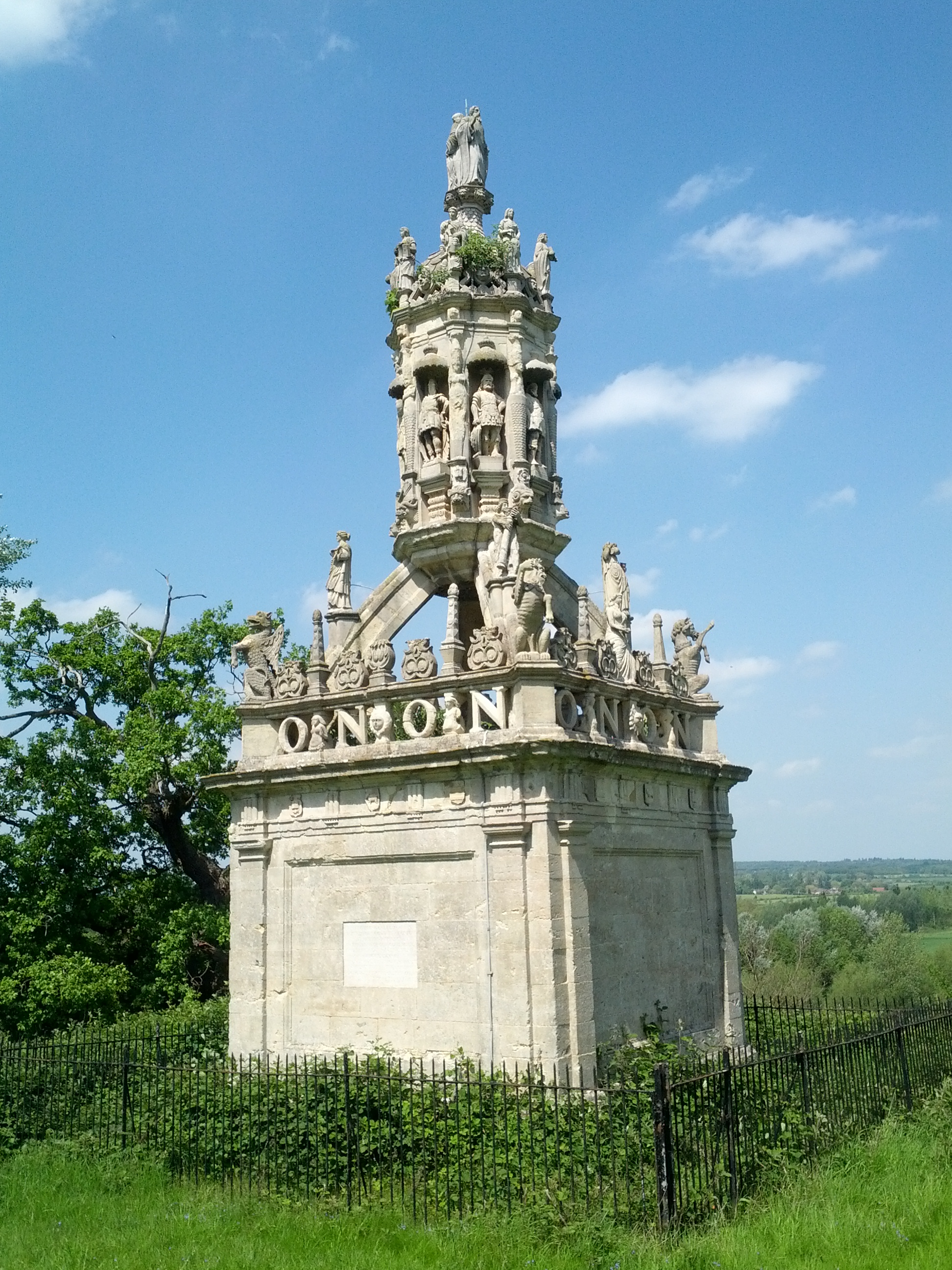
Carfax Conduit
The Carfax Conduit was a water conduit that supplied the city of Oxford with water from 1610 until 1869. The conduit ran in an underground lead pipe from...

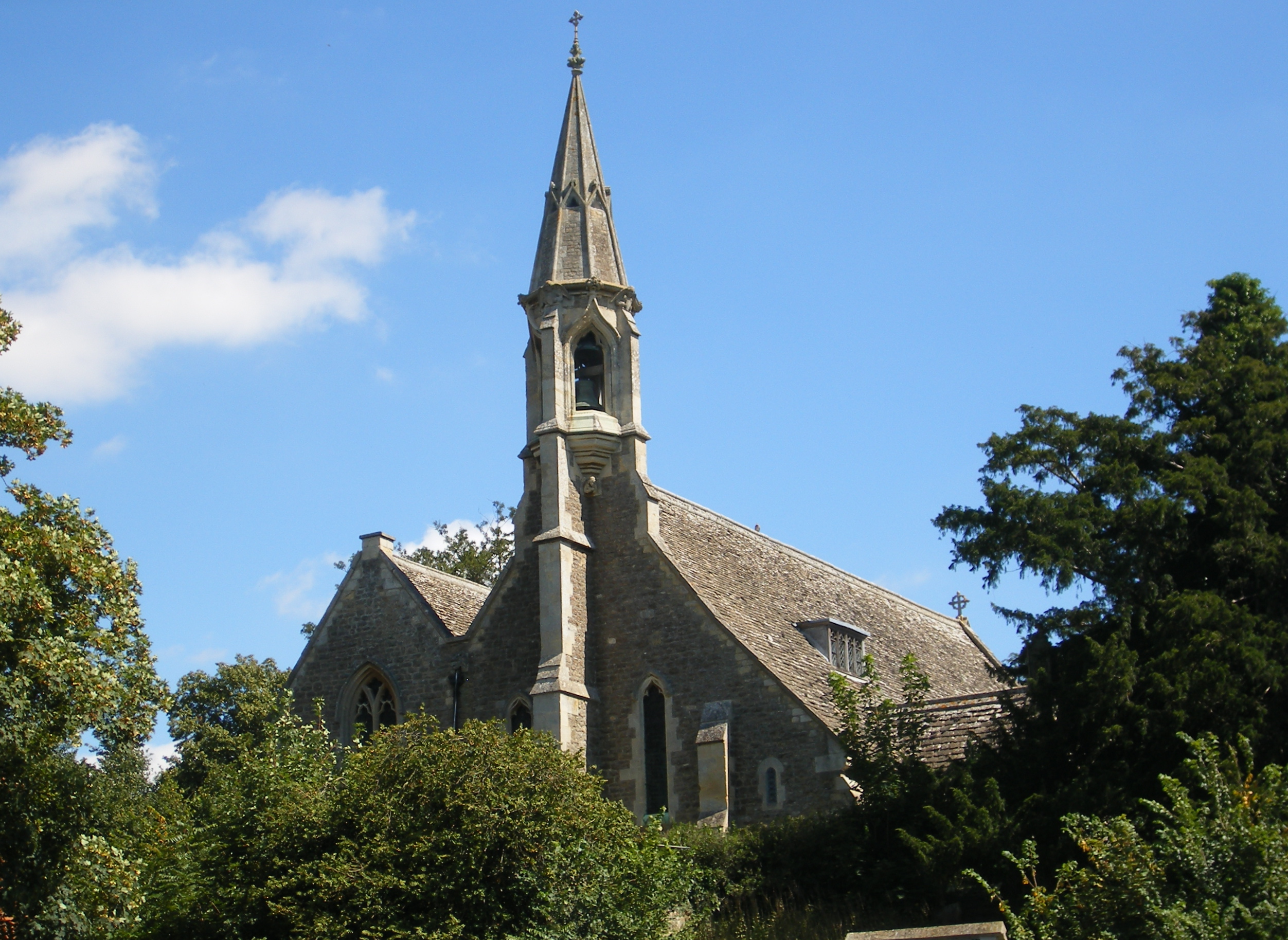
Old All Saints Church, Nuneham Courtenay
Old All Saints Church, or Harcourt Chapel, is a redundant Church of England church near the village of Nuneham Courtenay, Oxfordshire, England. It is recorded...

Harcourt Arboretum
Harcourt Arboretum is an arboretum owned and run by the University of Oxford. It is a satellite of the university's botanic garden in the city of Oxford...
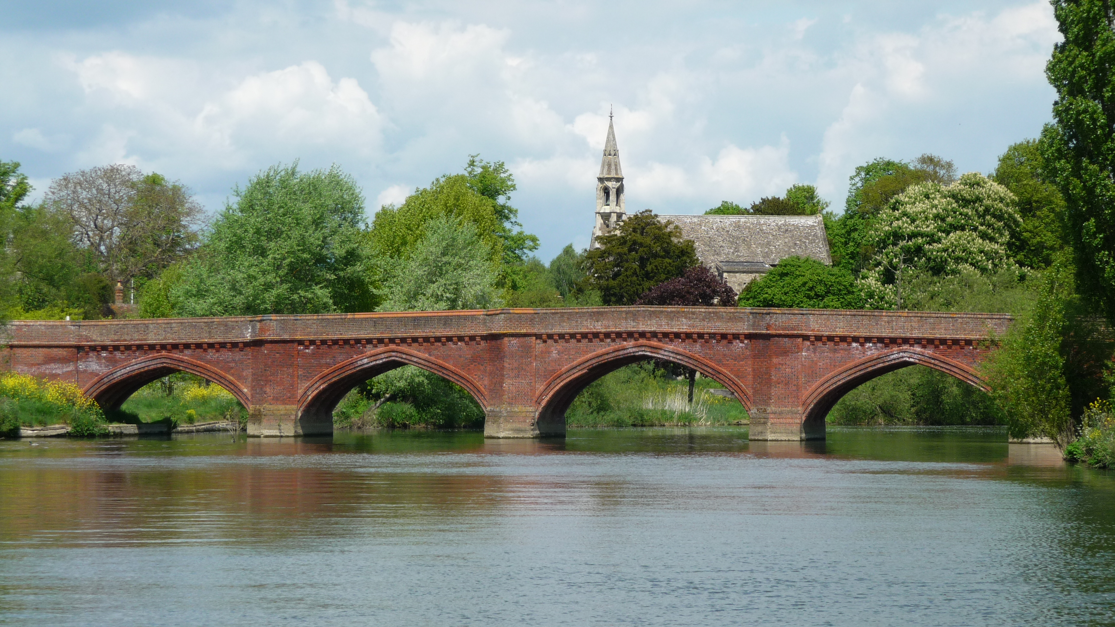
Clifton Hampden Bridge
Clifton Hampden Bridge is a road bridge crossing the River Thames in Clifton Hampden, Oxfordshire, England, situated on the reach below Clifton Lock. Originally...
Nearby Amenities
Located within 500m of 51.669091,-1.2061075Have you been to Golden Balls?
Leave your review of Golden Balls below (or comments, questions and feedback).